| Memorials | : | 2 |
| Location | : | Great Sankey, Warrington Unitary Authority, England |
| Coordinate | : | 53.3912000, -2.6497000 |
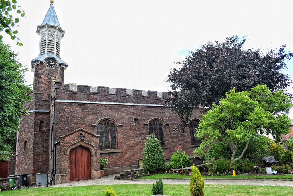
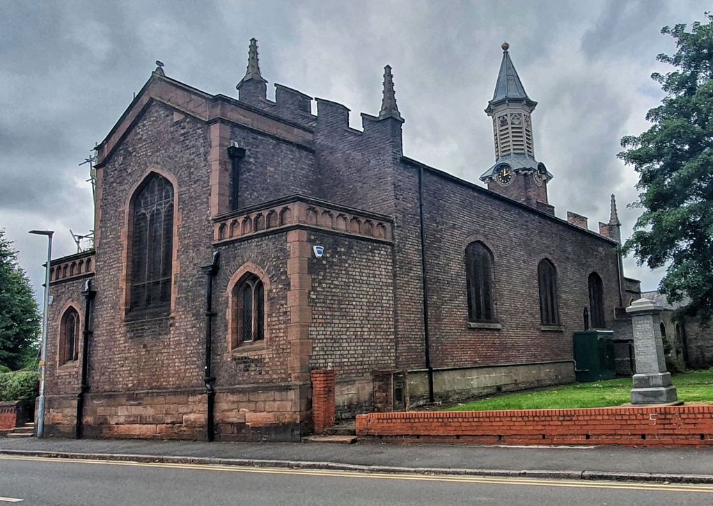
| Description | : | Known as Great Sankey Chapel, later known as St Mary, chapel now part of the Parish Church of the Church of England, dedicated to St Mary. The original chapel was built around 1640 then part of Prescotte Parish. By 1820 the chapel was in disrepair and the 2nd chapel was built in 1728. By the mid 1760's the chapel again was in disrepair and a 3rd chapel was built and consecrated on 11 Jun 1769. There is a web site dedicated to this Chapel and many of those interred here are named and listed on their site. The Parish of Great... Read More |
frequently asked questions (FAQ):
-
Where is St. Mary's Churchyard?
St. Mary's Churchyard is located at Liverpool Rd Great Sankey, Warrington Unitary Authority ,Cheshire , WA5 1REEngland.
-
St. Mary's Churchyard cemetery's updated grave count on graveviews.com?
1 memorials
-
Where are the coordinates of the St. Mary's Churchyard?
Latitude: 53.3912000
Longitude: -2.6497000
Nearby Cemetories:
1. St. Mary's Cemetery
Great Sankey, Warrington Unitary Authority, England
Coordinate: 53.3885690, -2.6507810
2. Penketh Quaker Meeting House
Penketh, Warrington Unitary Authority, England
Coordinate: 53.3873500, -2.6555300
3. St. Barnabas Churchyard
Warrington Unitary Authority, England
Coordinate: 53.3920038, -2.6121106
4. St. John The Evangelist Churchyard
Walton, Warrington Unitary Authority, England
Coordinate: 53.3626750, -2.6052020
5. Walton Lea Crematorium
Warrington, Warrington Unitary Authority, England
Coordinate: 53.3624630, -2.6016730
6. St. Elphin's Churchyard
Warrington, Warrington Unitary Authority, England
Coordinate: 53.3909750, -2.5800370
7. Winwick Hospital Churchyard
Warrington Unitary Authority, England
Coordinate: 53.4265000, -2.6050000
8. St Thomas Churchyard
Stockton Heath, Warrington Unitary Authority, England
Coordinate: 53.3723200, -2.5823800
9. Warrington Cemetery
Warrington, Warrington Unitary Authority, England
Coordinate: 53.3964660, -2.5730780
10. St. Luke's Churchyard
Farnworth, Halton Unitary Authority, England
Coordinate: 53.3843810, -2.7271840
11. Fox Covert Cemetery
Warrington, Warrington Unitary Authority, England
Coordinate: 53.3607300, -2.5856900
12. Hill Cliffe Cemetery
Warrington, Warrington Unitary Authority, England
Coordinate: 53.3611905, -2.5842857
13. St. Oswald Churchyard
Winwick, Warrington Unitary Authority, England
Coordinate: 53.4309200, -2.5972200
14. Widnes Cemetery
Widnes, Halton Unitary Authority, England
Coordinate: 53.3803470, -2.7326050
15. All Saints Churchyard
Daresbury, Halton Unitary Authority, England
Coordinate: 53.3405457, -2.6313031
16. Norton Priory
Norton, Halton Unitary Authority, England
Coordinate: 53.3424120, -2.6796450
17. St. Anne and Blessed Dominic Churchyard
St Helens, Metropolitan Borough of St Helens, England
Coordinate: 53.4330960, -2.7083700
18. Emmanuel Wargrave
Newton-le-Willows, Metropolitan Borough of St Helens, England
Coordinate: 53.4454500, -2.6277060
19. St Nicholas Churchyard
St Helens, Metropolitan Borough of St Helens, England
Coordinate: 53.4284660, -2.7213830
20. Christ Church Graveyard
Padgate, Warrington Unitary Authority, England
Coordinate: 53.4072619, -2.5565873
21. Newton-le-Willows Cemetery
Newton-le-Willows, Metropolitan Borough of St Helens, England
Coordinate: 53.4471970, -2.6217090
22. St Bartholomew's Churchyard
Rainhill, Metropolitan Borough of St Helens, England
Coordinate: 53.4076231, -2.7513287
23. St. Mary and St. John RC Churchyard
Newton-le-Willows, Metropolitan Borough of St Helens, England
Coordinate: 53.4559410, -2.6323930
24. St Wilfrid's Churchyard
Grappenhall, Warrington Unitary Authority, England
Coordinate: 53.3723000, -2.5434000


