
| Memorials | : | 1 |
| Location | : | Warrington, Warrington Unitary Authority, England |
| Coordinate | : | 53.3964660, -2.5730780 |
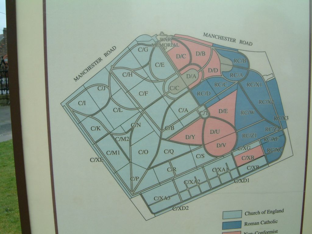
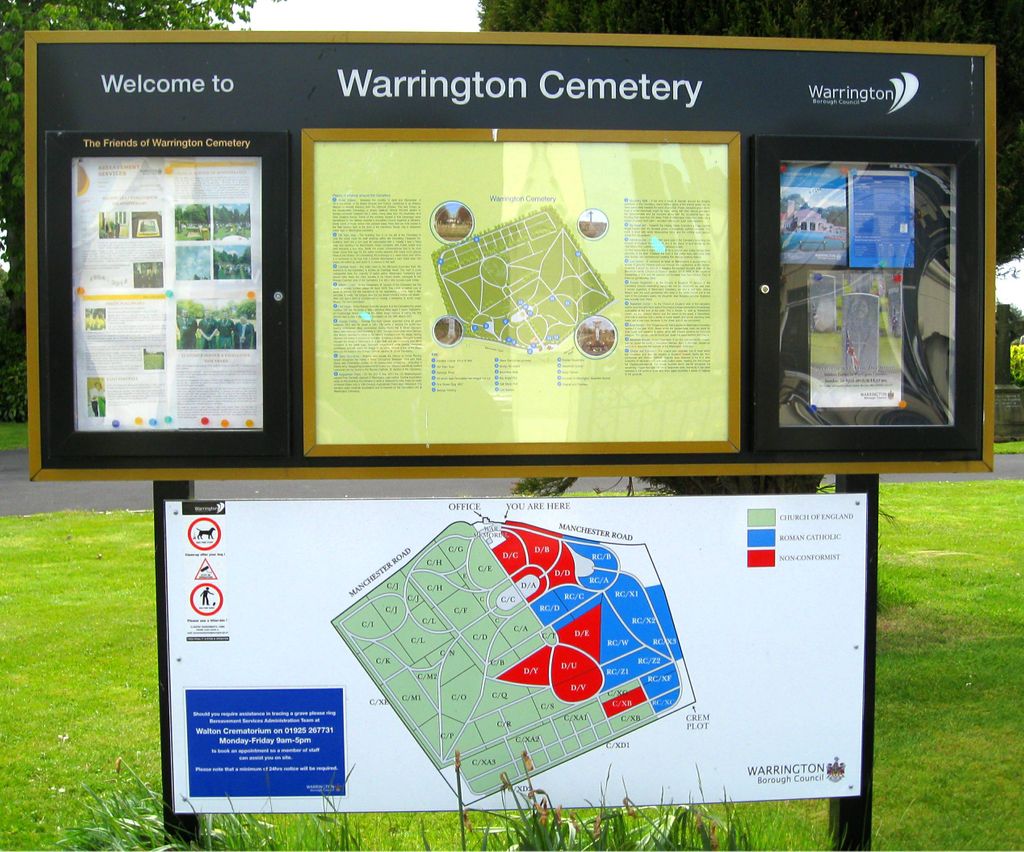
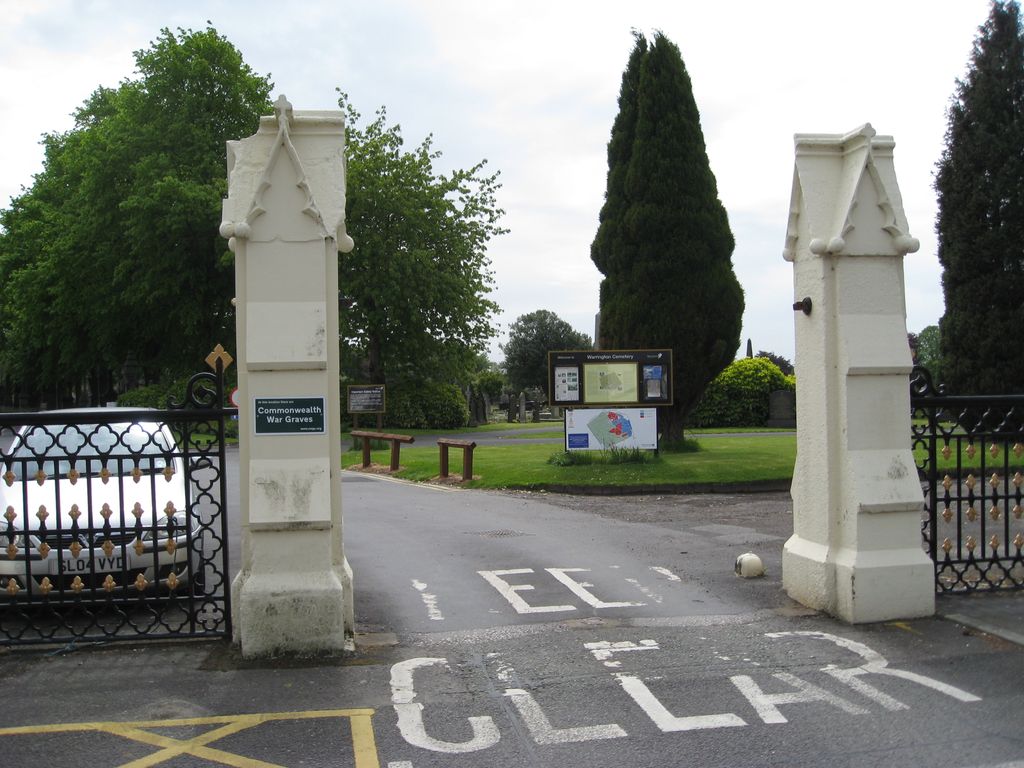
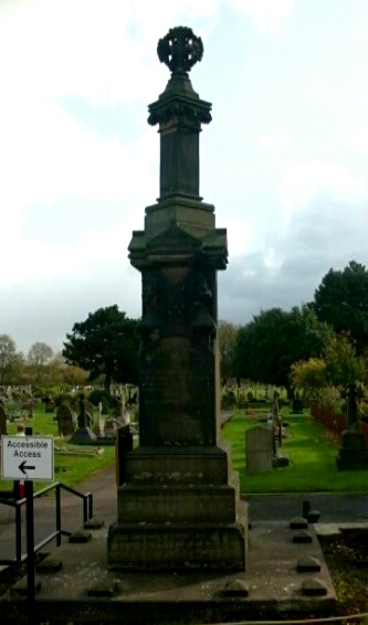
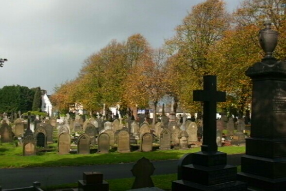
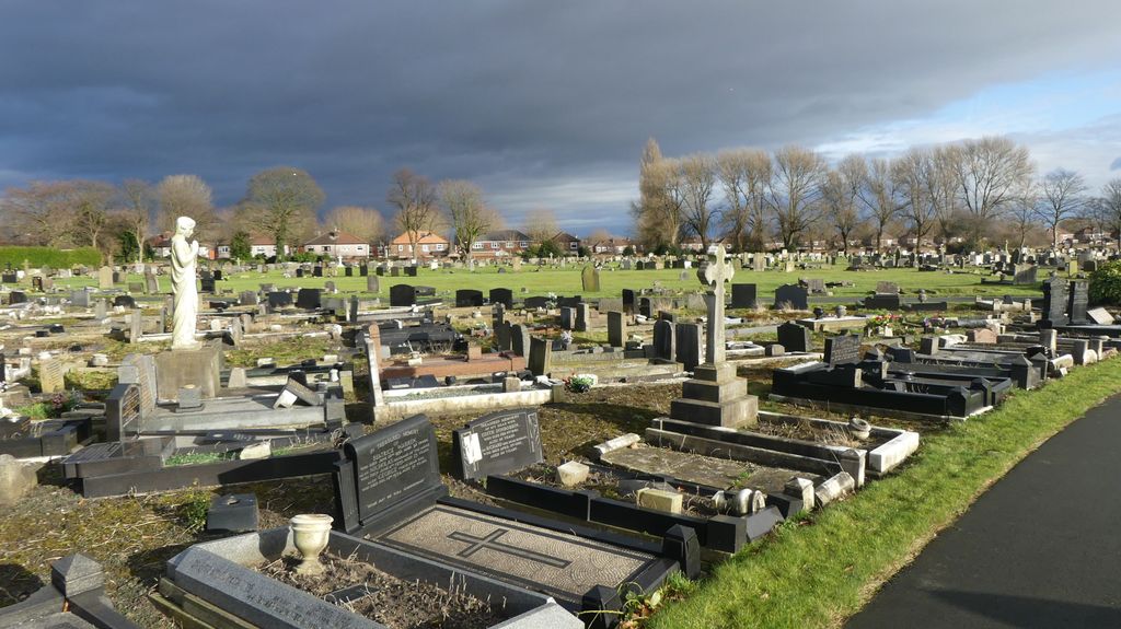
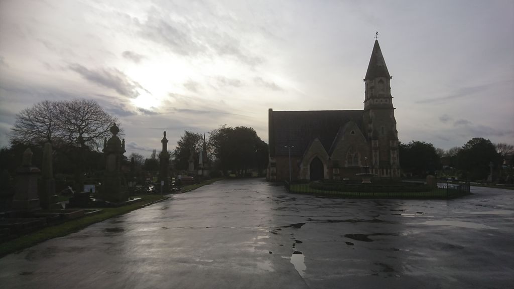
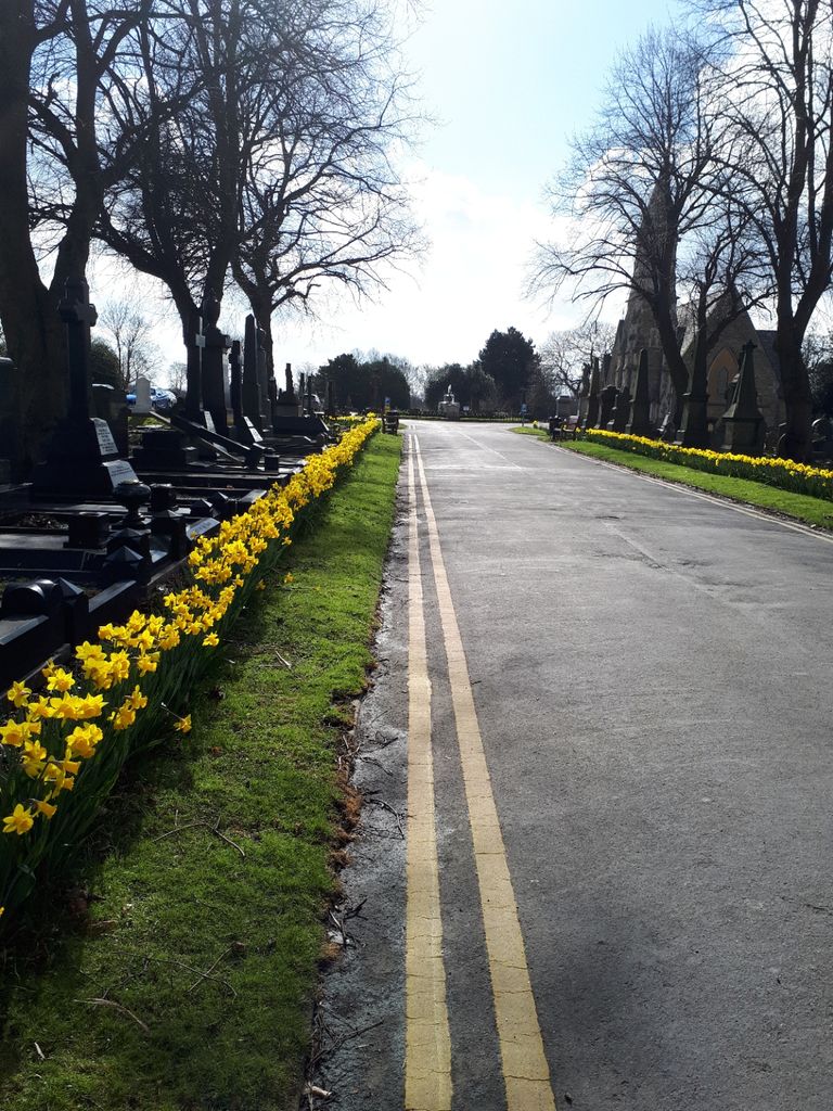
| Description | : | Warrington Cemetery contains 197 First World War burials, 74 of them in a war graves plot with a Cross of Sacrifice. The 102 Second World War burials are scattered. A Polish airman is also buried in the cemetery. Warrington was the depot for the South Lancashire Regiment for both wars and was home to the Lord Derby War Hospital and White Cross Auxilliary Hospital during the First World War. During the Second World War, a shore establishment of the Fleet Air Arm was stationed there. |
frequently asked questions (FAQ):
-
Where is Warrington Cemetery?
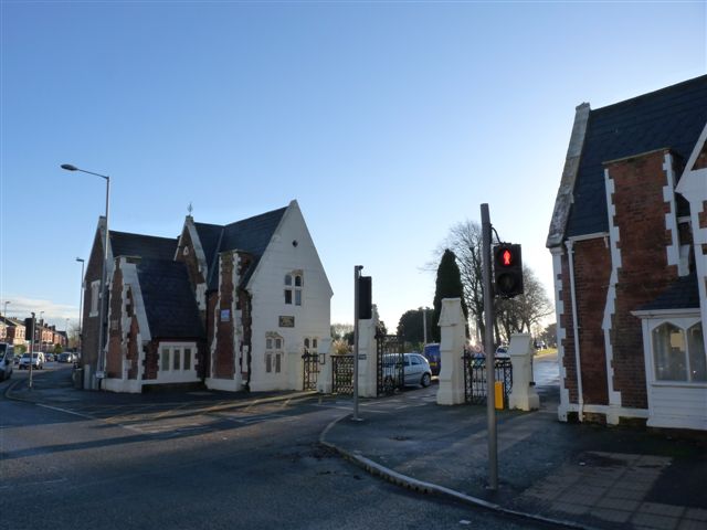
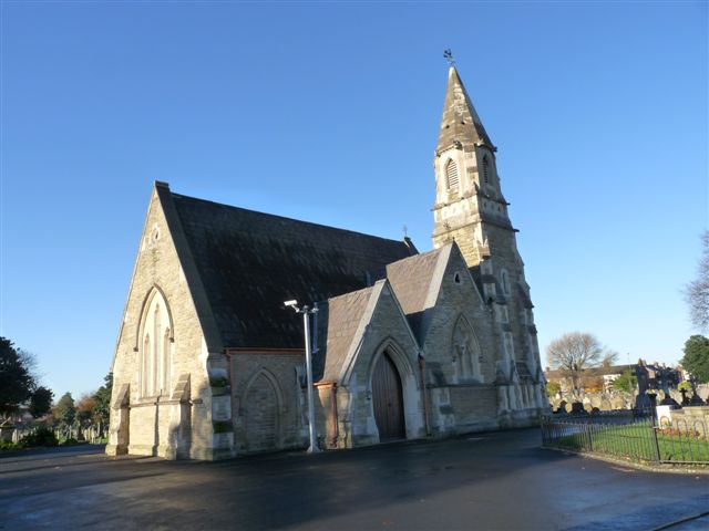
Warrington Cemetery is located at Manchester Road Warrington, Warrington Unitary Authority ,Cheshire ,England.
-
Warrington Cemetery cemetery's updated grave count on graveviews.com?
1 memorials
-
Where are the coordinates of the Warrington Cemetery?
Latitude: 53.3964660
Longitude: -2.5730780


Nearby Cemetories:
1. St. Elphin's Churchyard
Warrington, Warrington Unitary Authority, England
Coordinate: 53.3909750, -2.5800370
2. Christ Church Graveyard
Padgate, Warrington Unitary Authority, England
Coordinate: 53.4072619, -2.5565873
3. St. Barnabas Churchyard
Warrington Unitary Authority, England
Coordinate: 53.3920038, -2.6121106
4. St Thomas Churchyard
Stockton Heath, Warrington Unitary Authority, England
Coordinate: 53.3723200, -2.5823800
5. St Wilfrid's Churchyard
Grappenhall, Warrington Unitary Authority, England
Coordinate: 53.3723000, -2.5434000
6. All Saints Churchyard
Thelwall, Warrington Unitary Authority, England
Coordinate: 53.3822300, -2.5282700
7. Winwick Hospital Churchyard
Warrington Unitary Authority, England
Coordinate: 53.4265000, -2.6050000
8. Hill Cliffe Cemetery
Warrington, Warrington Unitary Authority, England
Coordinate: 53.3611905, -2.5842857
9. Fox Covert Cemetery
Warrington, Warrington Unitary Authority, England
Coordinate: 53.3607300, -2.5856900
10. St. Oswald Churchyard
Winwick, Warrington Unitary Authority, England
Coordinate: 53.4309200, -2.5972200
11. Walton Lea Crematorium
Warrington, Warrington Unitary Authority, England
Coordinate: 53.3624630, -2.6016730
12. St. John The Evangelist Churchyard
Walton, Warrington Unitary Authority, England
Coordinate: 53.3626750, -2.6052020
13. Unitarian Chapel
Croft, Warrington Unitary Authority, England
Coordinate: 53.4345995, -2.5440079
14. Risley Presbyterian Church Churchyard
Warrington Unitary Authority, England
Coordinate: 53.4322500, -2.5283880
15. Christ Church Churchyard
Warrington, Warrington Unitary Authority, England
Coordinate: 53.4376659, -2.5428132
16. St. Mary's Churchyard
Great Sankey, Warrington Unitary Authority, England
Coordinate: 53.3912000, -2.6497000
17. St. Mary's Cemetery
Great Sankey, Warrington Unitary Authority, England
Coordinate: 53.3885690, -2.6507810
18. Appleton Thorn St. Cross Churchyard
Appleton, Warrington Unitary Authority, England
Coordinate: 53.3501000, -2.5455000
19. Penketh Quaker Meeting House
Penketh, Warrington Unitary Authority, England
Coordinate: 53.3873500, -2.6555300
20. Saint Matthew's Churchyard
Stretton, Warrington Unitary Authority, England
Coordinate: 53.3403000, -2.5717310
21. Newton-le-Willows Cemetery
Newton-le-Willows, Metropolitan Borough of St Helens, England
Coordinate: 53.4471970, -2.6217090
22. Emmanuel Wargrave
Newton-le-Willows, Metropolitan Borough of St Helens, England
Coordinate: 53.4454500, -2.6277060
23. Saint Mary's Churchyard
Lymm, Warrington Unitary Authority, England
Coordinate: 53.3771000, -2.4784000
24. Lymm Baptist Churchyard
Lymm, Warrington Unitary Authority, England
Coordinate: 53.3765240, -2.4724300