
| Memorials | : | 61 |
| Location | : | Northchurch, Dacorum Borough, England |
| Coordinate | : | 51.7697820, -0.5891900 |
| Description | : | Northchurch is a village and civil parish in the Bulbourne valley in Hertfordshire lying between Berkhamsted and Tring. Situated on the Roman road Akeman Street, a major Roman villa dating from about AD 60 was discovered in the village in the 1970s. The settlement predates the neighbouring larger town of Berkhamsted Other earlier names for Northchurch include Berkhamsted St. Mary and Berkhamsted Minor. Both names support the view that Northchurch may have been the site of the original Berkhamsted which expanded down the Bulbourne Valley following the construction of the Berkhamsted Castle 2 miles to the south west. The village eventually... Read More |
frequently asked questions (FAQ):
-
Where is St. Mary's Churchyard?
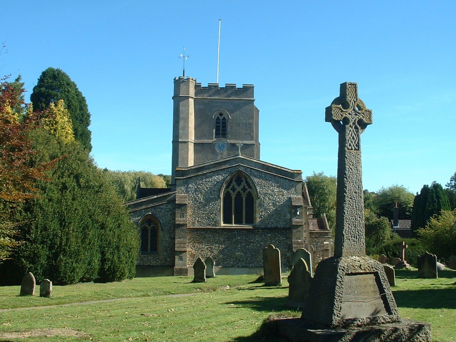
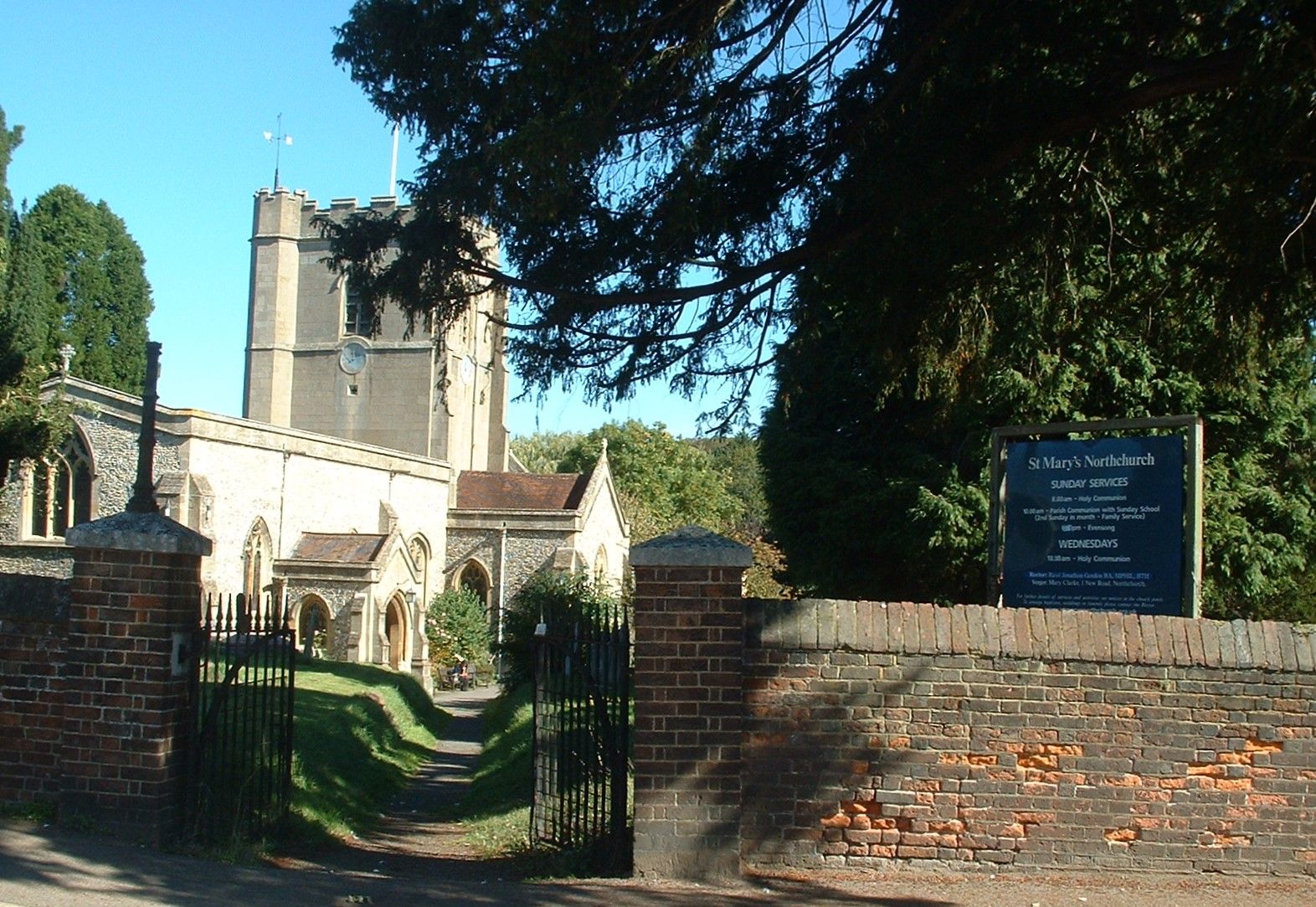
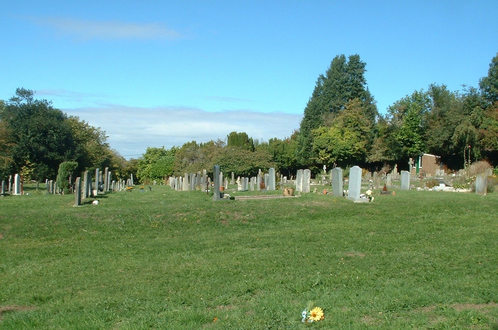
St. Mary's Churchyard is located at High Street Northchurch, Dacorum Borough ,Hertfordshire , HP4 3QLEngland.
-
St. Mary's Churchyard cemetery's updated grave count on graveviews.com?
6 memorials
-
Where are the coordinates of the St. Mary's Churchyard?
Latitude: 51.7697820
Longitude: -0.5891900
Nearby Cemetories:
1. Baptist Chapel Burial Ground
Northchurch, Dacorum Borough, England
Coordinate: 51.7680500, -0.5895400
2. Saint Peters Church
Berkhamsted, Dacorum Borough, England
Coordinate: 51.7595990, -0.5616600
3. Kingshill Cemetery
Berkhamsted, Dacorum Borough, England
Coordinate: 51.7512770, -0.5743220
4. Rectory Lane Cemetery
Berkhamsted, Dacorum Borough, England
Coordinate: 51.7577780, -0.5607880
5. St. Michael and all Angels Churchyard
Berkhamsted, Dacorum Borough, England
Coordinate: 51.7590820, -0.5501120
6. St Bartholomew Churchyard
Wigginton, Dacorum Borough, England
Coordinate: 51.7835990, -0.6351040
7. St John the Evangelist Churchyard
Ashley Green, Chiltern District, England
Coordinate: 51.7374280, -0.5873140
8. St John the Baptist Churchyard
Aldbury, Dacorum Borough, England
Coordinate: 51.8025650, -0.6040510
9. St. Mary's Churchyard
Hawridge, Chiltern District, England
Coordinate: 51.7438010, -0.6252150
10. Ashridge Priory
Little Gaddesden, Dacorum Borough, England
Coordinate: 51.7990000, -0.5600000
11. St. John the Evangelist Churchyard
Bourne End, Dacorum Borough, England
Coordinate: 51.7481590, -0.5296080
12. St. Lawrence Churchyard
Cholesbury, Chiltern District, England
Coordinate: 51.7554990, -0.6550650
13. SS Peter & Paul Churchyard
Little Gaddesden, Dacorum Borough, England
Coordinate: 51.8140340, -0.5538550
14. Akeman Street Baptist Churchyard
Tring, Dacorum Borough, England
Coordinate: 51.7929500, -0.6624700
15. New Mill Baptist Church Cemetery
Tring, Dacorum Borough, England
Coordinate: 51.8048400, -0.6604100
16. Tring Cemetery
Tring, Dacorum Borough, England
Coordinate: 51.7893700, -0.6754900
17. Chesham Cemetery
Chesham, Chiltern District, England
Coordinate: 51.7122040, -0.6138790
18. St Lawrence Churchyard
Bovingdon, Dacorum Borough, England
Coordinate: 51.7226750, -0.5292470
19. St. Leonard's Churchyard
St Leonards, Chiltern District, England
Coordinate: 51.7547000, -0.6830429
20. St. Mary's Churchyard
Pitstone, Aylesbury Vale District, England
Coordinate: 51.8251170, -0.6341170
21. Chesham Friends Burial Ground
Chesham, Chiltern District, England
Coordinate: 51.7081350, -0.6132980
22. St George Churchyard
Tylers Hill, Chiltern District, England
Coordinate: 51.7061030, -0.5810310
23. Broadway Baptist Church
Chesham, Chiltern District, England
Coordinate: 51.7064627, -0.6135632
24. St Mary Churchyard
Chesham, Chiltern District, England
Coordinate: 51.7043190, -0.6166760