
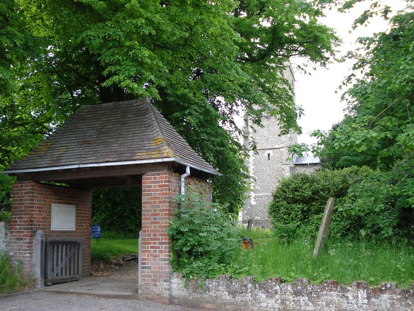
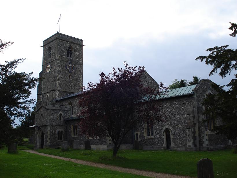
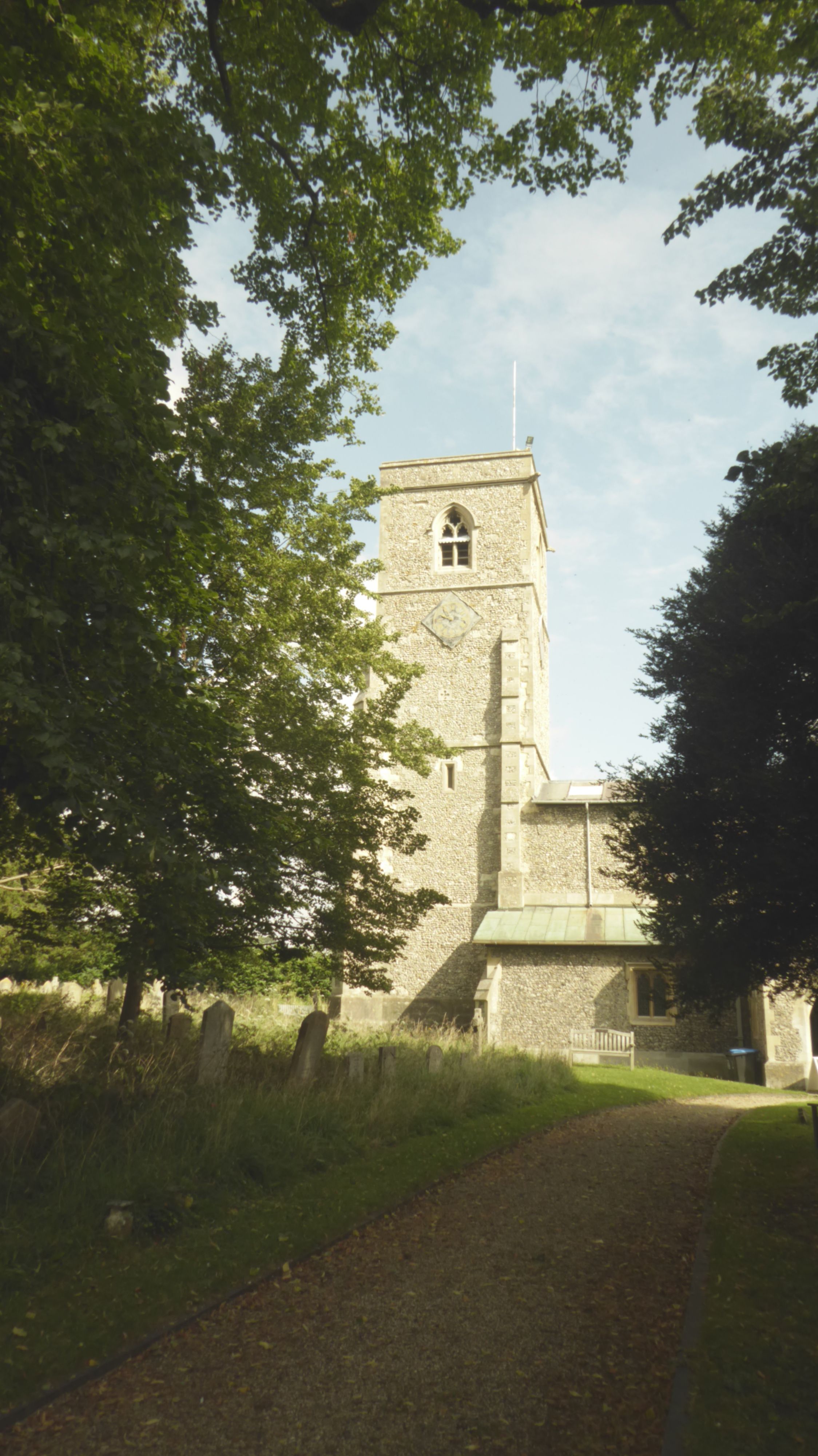
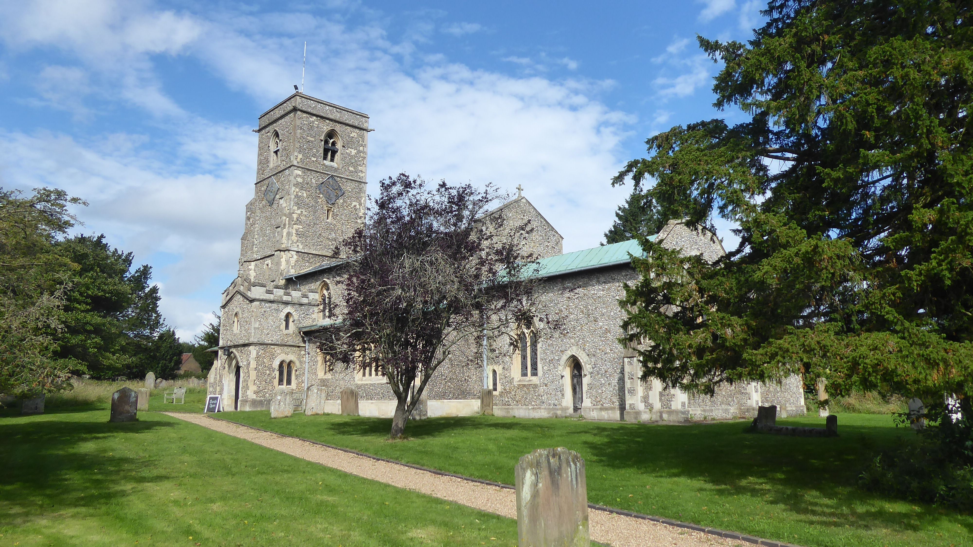
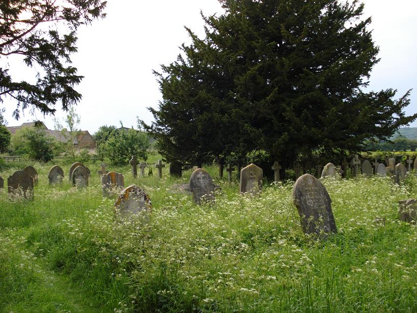
| Memorials | : | 0 |
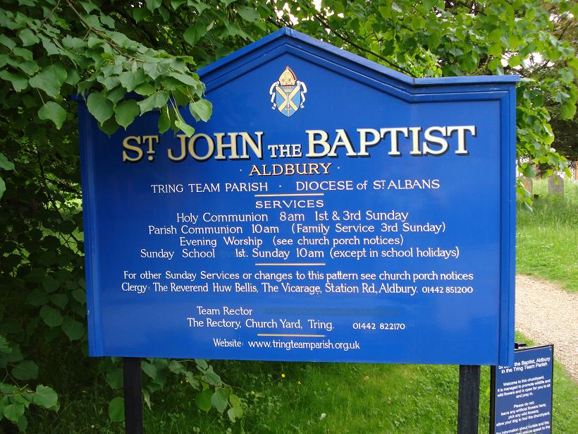
| Location | : | Aldbury, Dacorum Borough, England |
| Coordinate | : | 51.8025650, -0.6040510 |
frequently asked questions (FAQ):
-
Where is St John the Baptist Churchyard?
St John the Baptist Churchyard is located at Aldbury, Dacorum Borough ,Hertfordshire ,England.
-
St John the Baptist Churchyard cemetery's updated grave count on graveviews.com?
0 memorials
-
Where are the coordinates of the St John the Baptist Churchyard?
Latitude: 51.8025650
Longitude: -0.6040510
Nearby Cemetories:
1. St Bartholomew Churchyard
Wigginton, Dacorum Borough, England
Coordinate: 51.7835990, -0.6351040
2. Ashridge Priory
Little Gaddesden, Dacorum Borough, England
Coordinate: 51.7990000, -0.5600000
3. St. Mary's Churchyard
Pitstone, Aylesbury Vale District, England
Coordinate: 51.8251170, -0.6341170
4. SS Peter & Paul Churchyard
Little Gaddesden, Dacorum Borough, England
Coordinate: 51.8140340, -0.5538550
5. St. Mary's Churchyard
Northchurch, Dacorum Borough, England
Coordinate: 51.7697820, -0.5891900
6. New Mill Baptist Church Cemetery
Tring, Dacorum Borough, England
Coordinate: 51.8048400, -0.6604100
7. Baptist Chapel Burial Ground
Northchurch, Dacorum Borough, England
Coordinate: 51.7680500, -0.5895400
8. Akeman Street Baptist Churchyard
Tring, Dacorum Borough, England
Coordinate: 51.7929500, -0.6624700
9. Tring Cemetery
Tring, Dacorum Borough, England
Coordinate: 51.7893700, -0.6754900
10. Wilstone Cemetery
Wilstone, Dacorum Borough, England
Coordinate: 51.8123300, -0.6773960
11. Saint Peters Church
Berkhamsted, Dacorum Borough, England
Coordinate: 51.7595990, -0.5616600
12. Rectory Lane Cemetery
Berkhamsted, Dacorum Borough, England
Coordinate: 51.7577780, -0.5607880
13. Kingshill Cemetery
Berkhamsted, Dacorum Borough, England
Coordinate: 51.7512770, -0.5743220
14. St. Michael and all Angels Churchyard
Berkhamsted, Dacorum Borough, England
Coordinate: 51.7590820, -0.5501120
15. St Mary the Virgin Churchyard
Drayton Beauchamp, Aylesbury Vale District, England
Coordinate: 51.7979700, -0.6936800
16. St. Lawrence Churchyard
Cholesbury, Chiltern District, England
Coordinate: 51.7554990, -0.6550650
17. St Mary the Virgin Churchyard
Edlesborough, Aylesbury Vale District, England
Coordinate: 51.8617700, -0.5918500
18. St. Mary's Churchyard
Hawridge, Chiltern District, England
Coordinate: 51.7438010, -0.6252150
19. St. Giles Churchyard
Cheddington, Aylesbury Vale District, England
Coordinate: 51.8530810, -0.6624440
20. St. Mary Magdalene Churchyard
Whipsnade, Central Bedfordshire Unitary Authority, England
Coordinate: 51.8510078, -0.5324191
21. St John the Evangelist Churchyard
Ashley Green, Chiltern District, England
Coordinate: 51.7374280, -0.5873140
22. All Saints Churchyard
Buckland, Aylesbury Vale District, England
Coordinate: 51.8037310, -0.7134010
23. St. Leonard's Churchyard
St Leonards, Chiltern District, England
Coordinate: 51.7547000, -0.6830429
24. All Saints Churchyard
Long Marston, Dacorum Borough, England
Coordinate: 51.8340100, -0.7029500