
| Memorials | : | 5 |
| Location | : | Binbrook, East Lindsey District, England |
| Coordinate | : | 53.4283880, -0.1774980 |
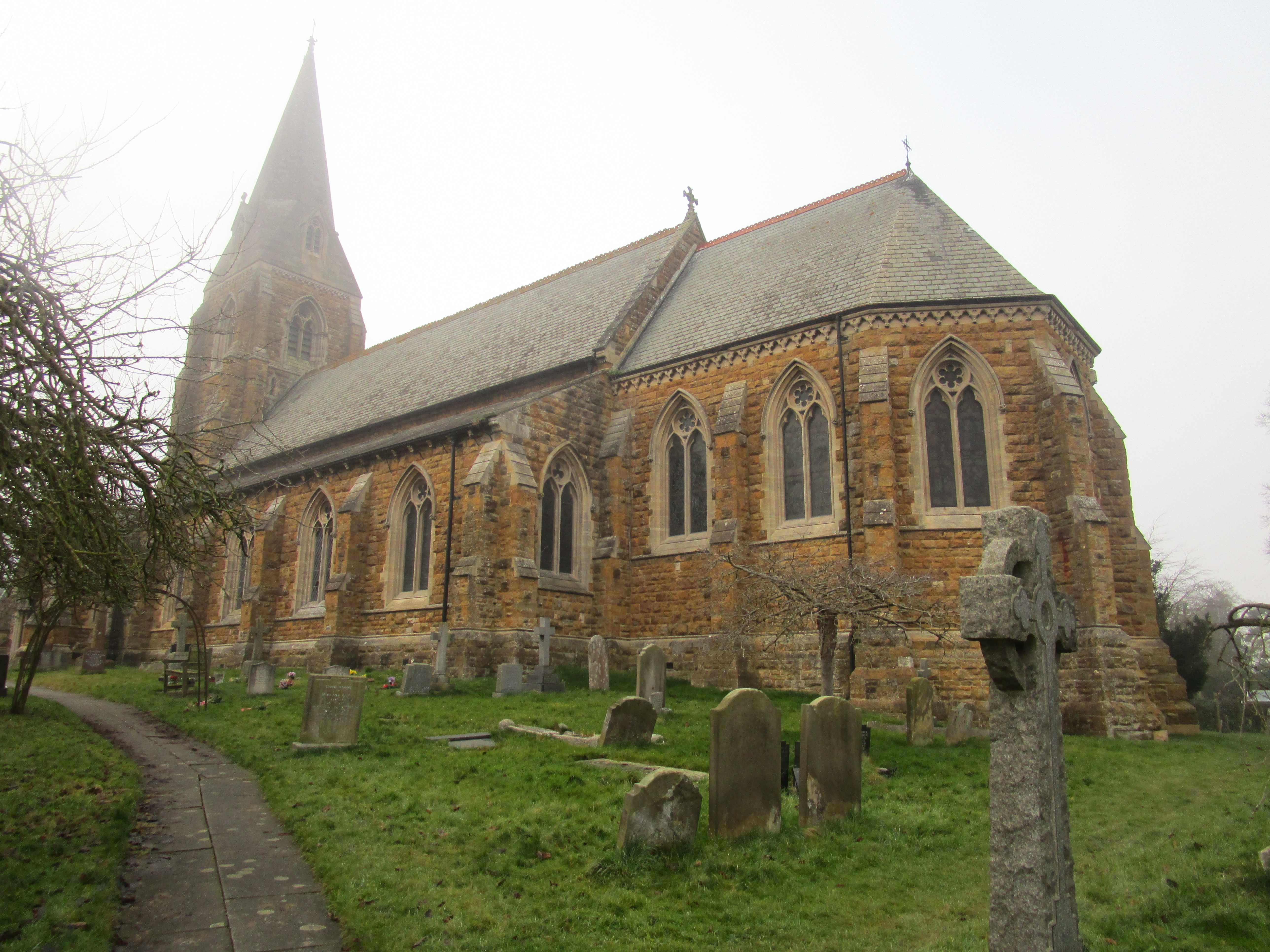
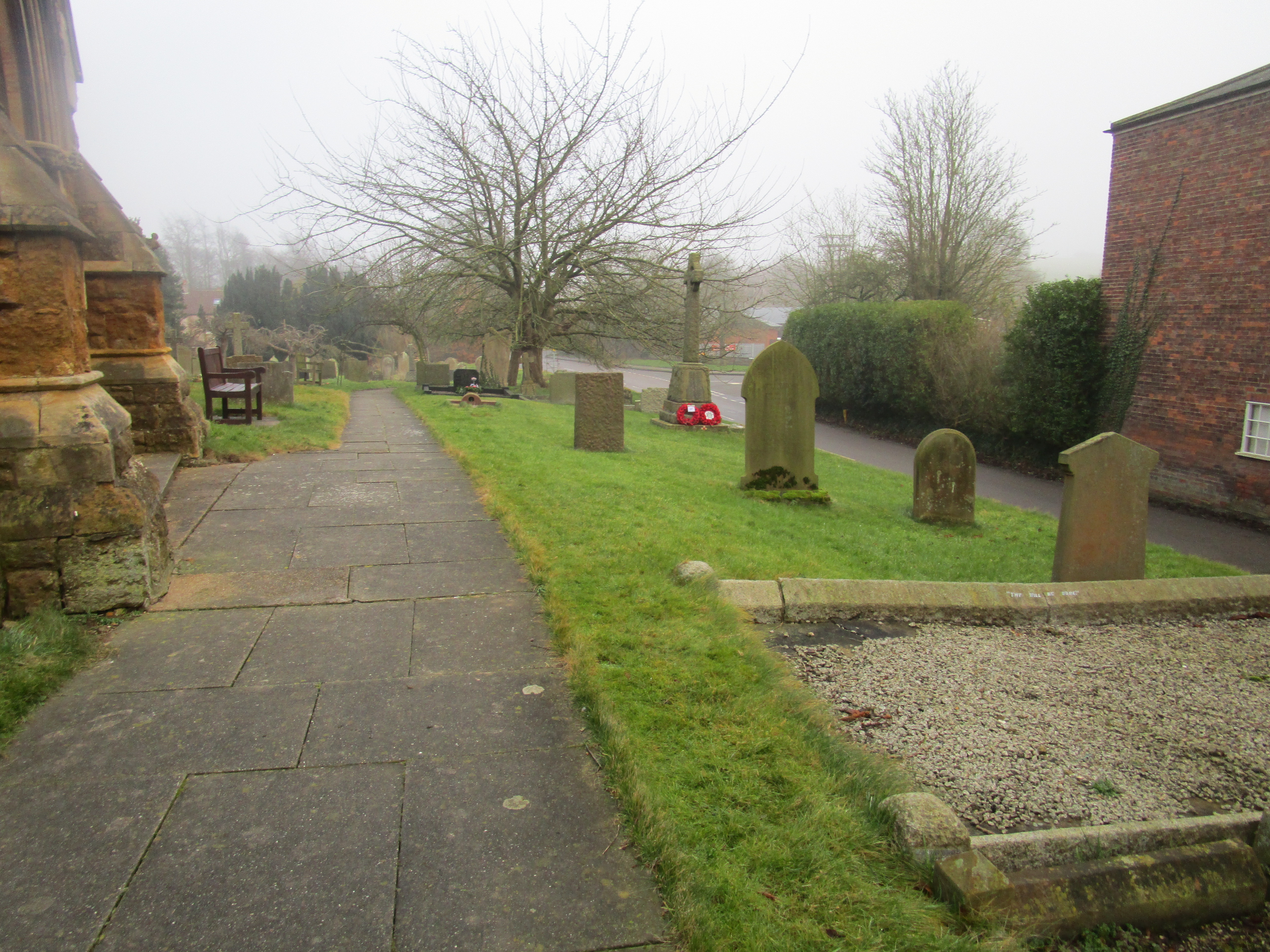
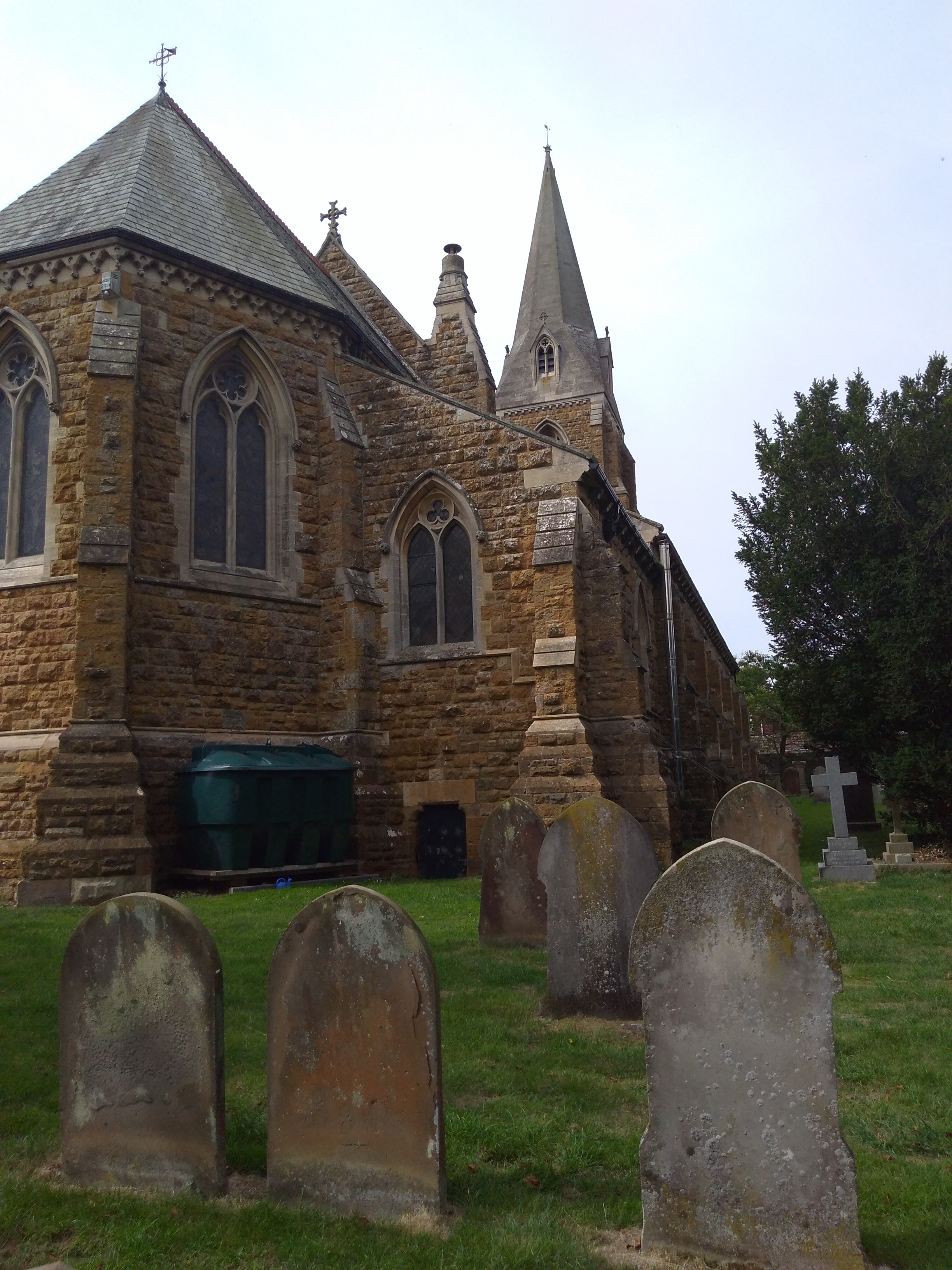
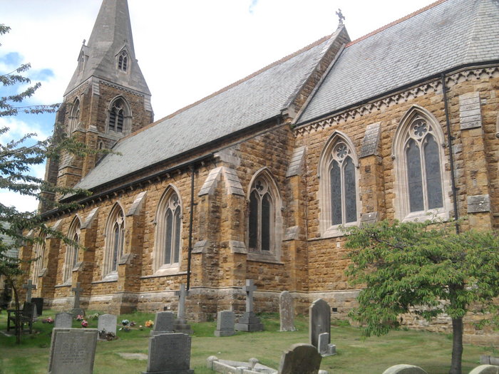
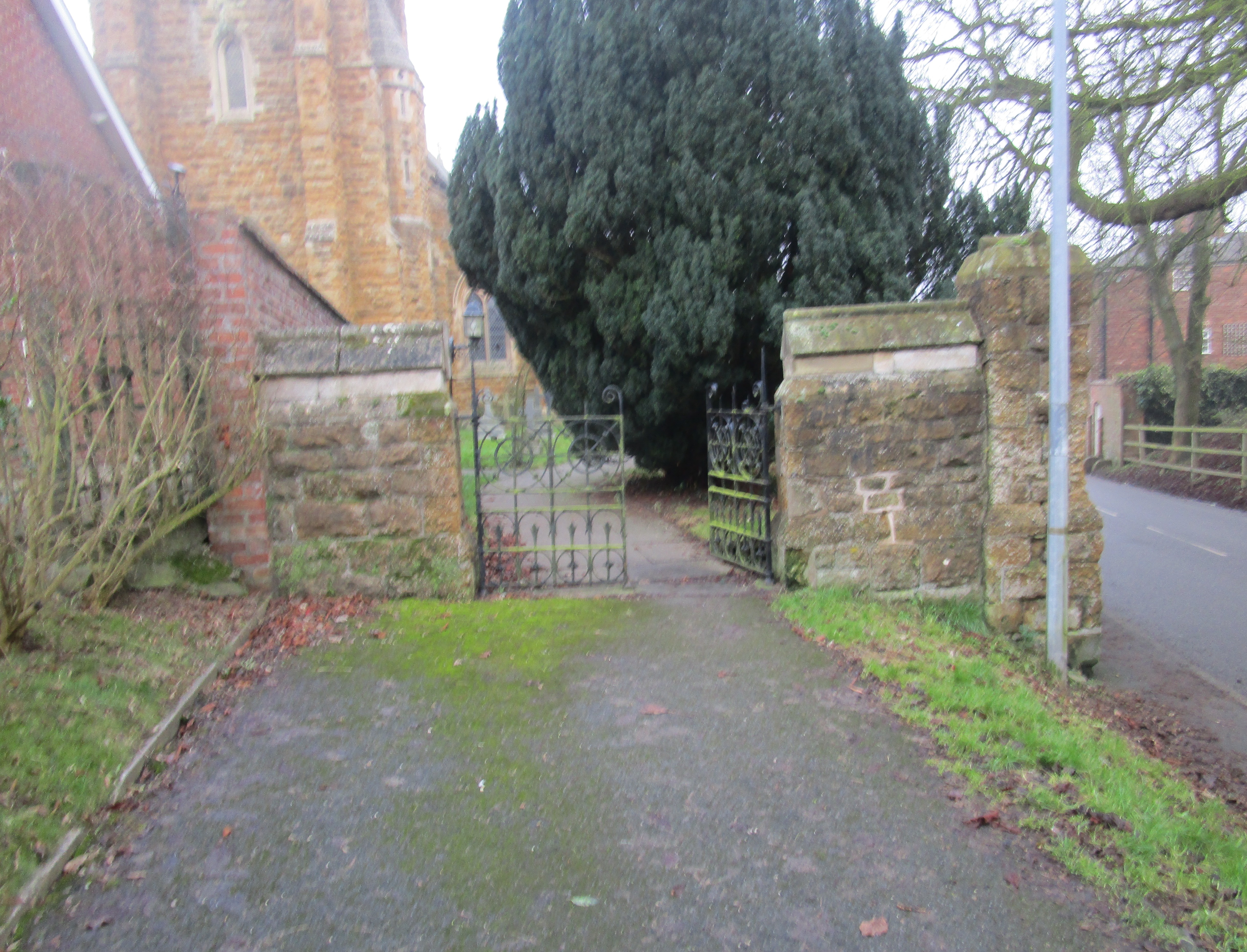
| Description | : | Binbrook is a village and civil parish in the East Lindsey district of Lincolnshire, England. It is on the B1203 almost 8 miles northeast of Market Rasen. Binbrook Grade II listed Anglican parish church is dedicated to St Mary and St Gabriel. There were two village churches, St Mary and St Gabriel, since disappeared. A new church with joint dedication was built in 1869. |
frequently asked questions (FAQ):
-
Where is St. Mary's Churchyard?
St. Mary's Churchyard is located at Binbrook, East Lindsey District ,Lincolnshire ,England.
-
St. Mary's Churchyard cemetery's updated grave count on graveviews.com?
5 memorials
-
Where are the coordinates of the St. Mary's Churchyard?
Latitude: 53.4283880
Longitude: -0.1774980
Nearby Cemetories:
1. St. Martin's Churchyard
Kirmond-le-Mire, West Lindsey District, England
Coordinate: 53.4172100, -0.2176900
2. St. Andrew's Churchyard
Stainton-le-Vale, West Lindsey District, England
Coordinate: 53.4333900, -0.2309600
3. St Mary & St Peters Churchyard
Ludford, East Lindsey District, England
Coordinate: 53.3868330, -0.1963460
4. St Faith Church
Kelstern, East Lindsey District, England
Coordinate: 53.3911200, -0.1196310
5. St. Martin Churchyard
East Ravendale, North East Lincolnshire Unitary Authority, England
Coordinate: 53.4793000, -0.1370044
6. St Marys Churchyard
Hatcliffe, North East Lincolnshire Unitary Authority, England
Coordinate: 53.4890900, -0.1729800
7. St. Thomas the Apostle Churchyard
North Willingham, West Lindsey District, England
Coordinate: 53.3786700, -0.2524900
8. St. Helen Churchyard
Burgh on Bain, East Lindsey District, England
Coordinate: 53.3604060, -0.1644810
9. All Saints Churchyard
Sixhills, West Lindsey District, England
Coordinate: 53.3679800, -0.2426600
10. St Andrew
Beelsby, North East Lincolnshire Unitary Authority, England
Coordinate: 53.5015700, -0.1810580
11. St Nicholas Church
Cuxwold, West Lindsey District, England
Coordinate: 53.4936120, -0.2347580
12. St Peter's Churchyard
Ashby cum Fenby, North East Lincolnshire Unitary Authority, England
Coordinate: 53.4903100, -0.1105200
13. St Mary Magdalene Churchyard
Rothwell, West Lindsey District, England
Coordinate: 53.4783820, -0.2693190
14. St. Peter's Churchyard
Gayton le Wold, East Lindsey District, England
Coordinate: 53.3562320, -0.1431270
15. St Marys Churchyard
Ludborough, East Lindsey District, England
Coordinate: 53.4405106, -0.0510651
16. St Nicholas Church
Grainsby, East Lindsey District, England
Coordinate: 53.4765150, -0.0755630
17. St Helen's Churchyard
Brigsley, North East Lincolnshire Unitary Authority, England
Coordinate: 53.4982361, -0.1099315
18. St. Helen's Churchyard
Biscathorpe, East Lindsey District, England
Coordinate: 53.3464850, -0.1538460
19. St. Helen's Churchyard
Louth, East Lindsey District, England
Coordinate: 53.3464700, -0.1539300
20. St. Mary's Churchyard
Hainton, East Lindsey District, England
Coordinate: 53.3433440, -0.2290450
21. St. Mary's Churchyard
Claxby, West Lindsey District, England
Coordinate: 53.4363000, -0.3287600
22. St. Mary Churchyard
Fotherby, East Lindsey District, England
Coordinate: 53.4057520, -0.0204600
23. St Nicholas Churchyard
Cabourne, West Lindsey District, England
Coordinate: 53.5015800, -0.2830600
24. All Saints Churchyard
Waltham, North East Lincolnshire Unitary Authority, England
Coordinate: 53.5167000, -0.0986700