
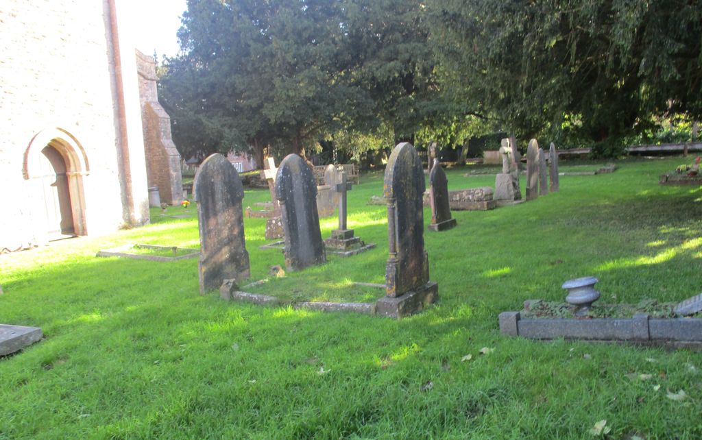
| Memorials | : | 3 |
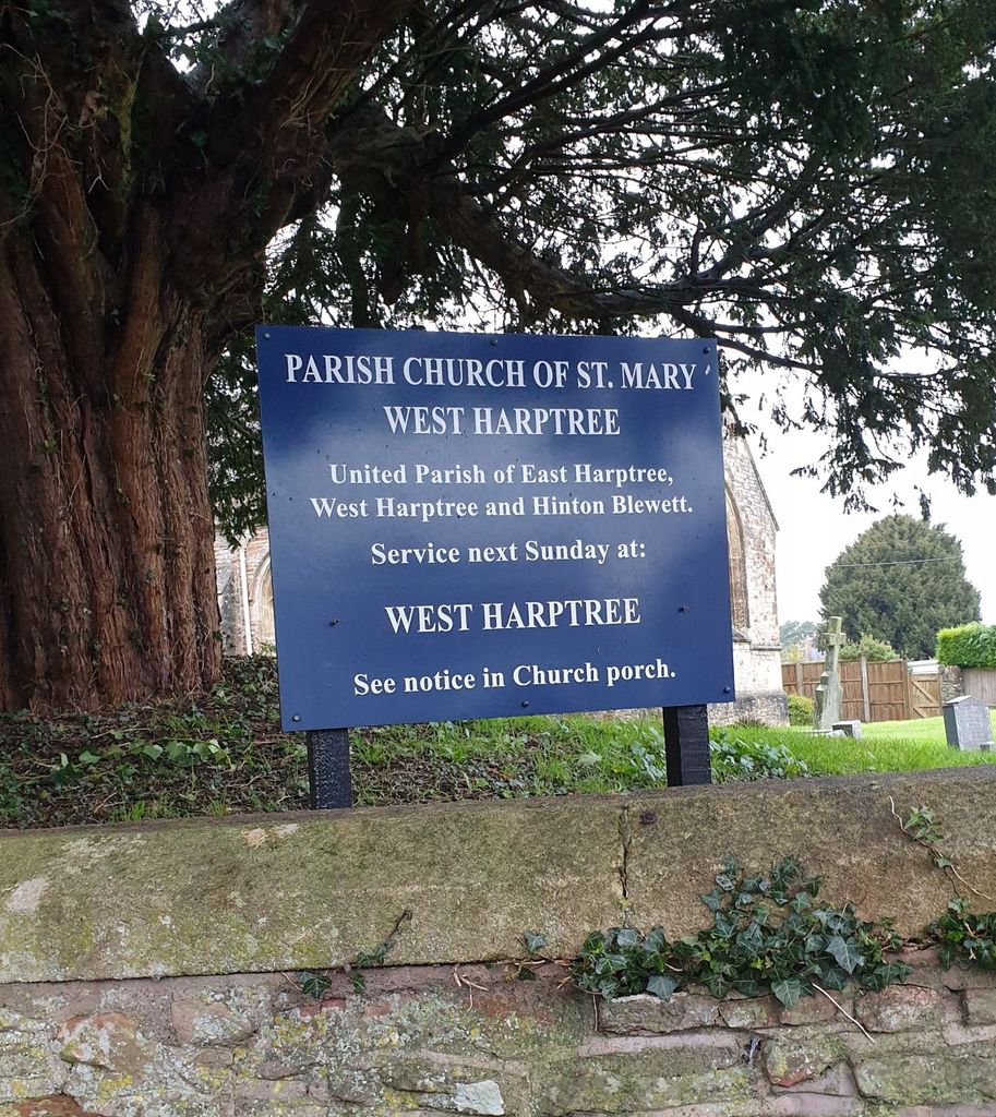
| Location | : | West Harptree, Bath and North East Somerset Unitary Authority, England |
| Coordinate | : | 51.3032530, -2.6582110 |
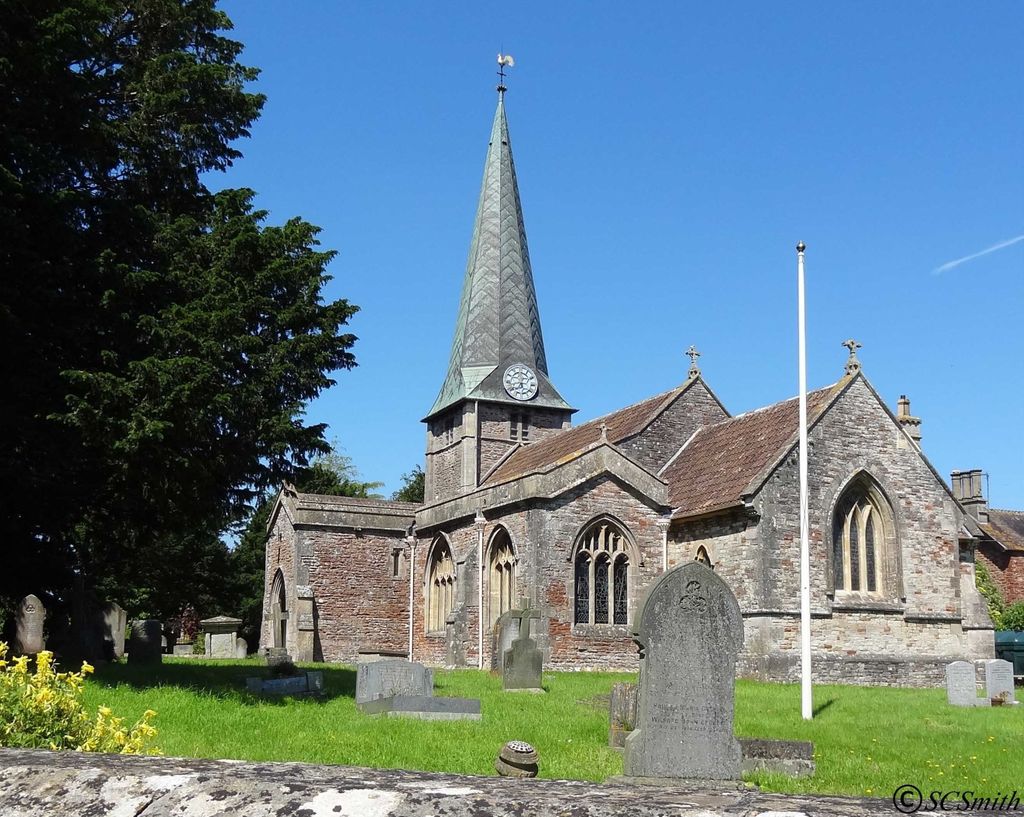
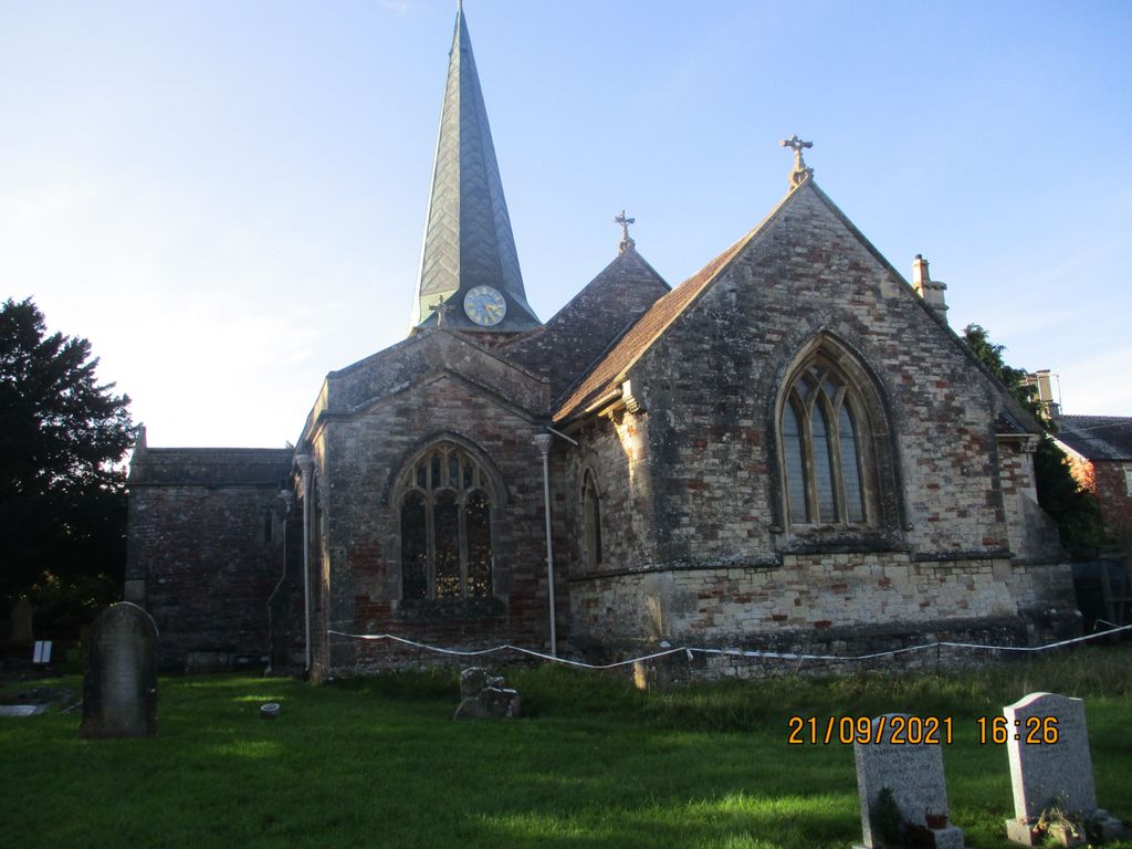
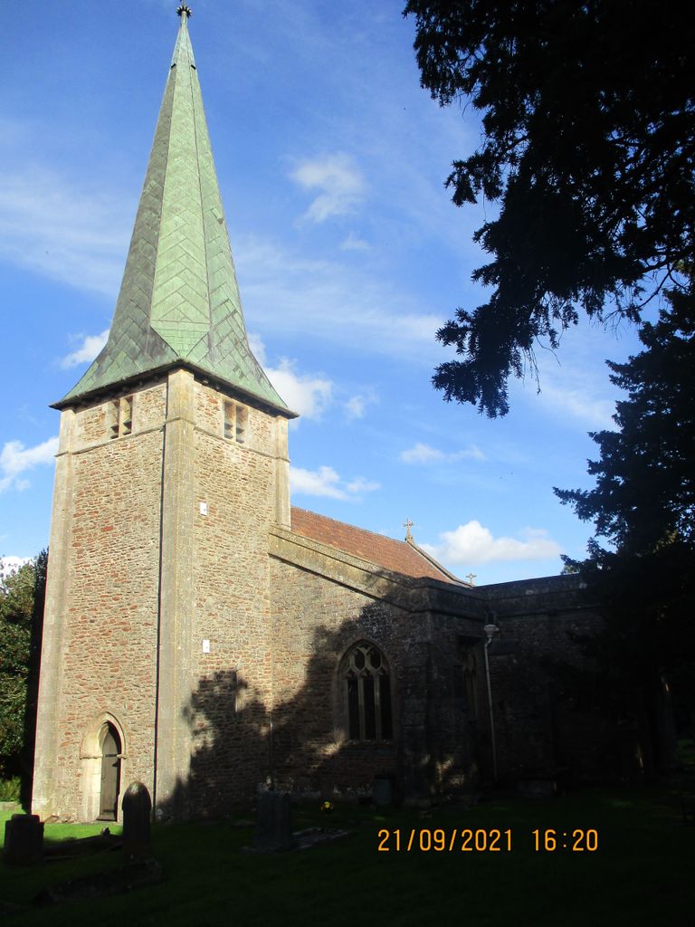
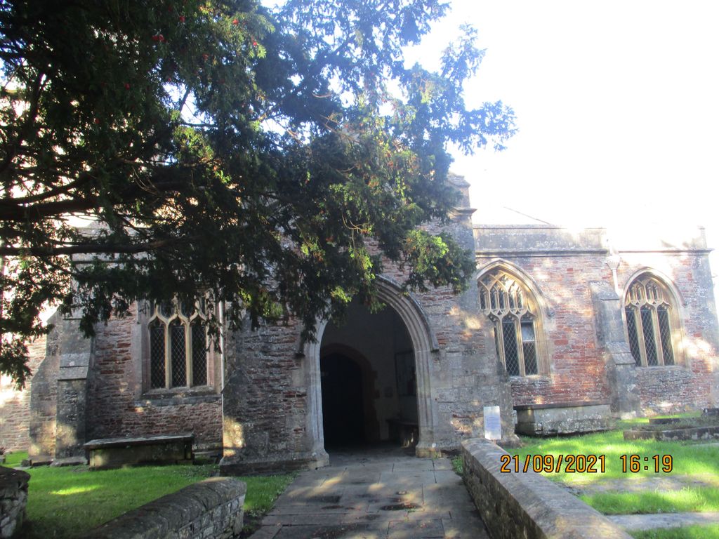
| Description | : | The Church of St. Mary is Grade II* listed building and an Anglican parish church. It has a 12th Century west tower, 13th Century spire and the 15th Century main body was extensively restored in 1865 by C.E. Giles of Taunton who added a new chancel. |
frequently asked questions (FAQ):
-
Where is St. Mary's Churchyard?
St. Mary's Churchyard is located at West Harptree, Bath and North East Somerset Unitary Authority ,Somerset ,England.
-
St. Mary's Churchyard cemetery's updated grave count on graveviews.com?
2 memorials
-
Where are the coordinates of the St. Mary's Churchyard?
Latitude: 51.3032530
Longitude: -2.6582110
Nearby Cemetories:
1. St Michael the Archangel Churchyard
Compton Martin, Bath and North East Somerset Unitary Authority, England
Coordinate: 51.3107380, -2.6534510
2. Saint Laurence Churchyard
East Harptree, Bath and North East Somerset Unitary Authority, England
Coordinate: 51.3011730, -2.6245740
3. St. Bartholomew Churchyard
Ubley, Bath and North East Somerset Unitary Authority, England
Coordinate: 51.3214600, -2.6766900
4. Harptree Cemetery
East Harptree, Bath and North East Somerset Unitary Authority, England
Coordinate: 51.3056390, -2.6238890
5. The Blessed Virgin Mary Churchyard
Nempnett Thrubwell, Bath and North East Somerset Unitary Authority, England
Coordinate: 51.3407560, -2.6720673
6. Blessed Virgin Mary Churchyard
Nempnett Thrubwell, Bath and North East Somerset Unitary Authority, England
Coordinate: 51.3407790, -2.6721100
7. St Andrew Churchyard
Blagdon, North Somerset Unitary Authority, England
Coordinate: 51.3275610, -2.7127710
8. St. Lawrence's Churchyard
Priddy, Mendip District, England
Coordinate: 51.2596770, -2.6777600
9. St Margarets Churchyard
Hinton Blewett, Bath and North East Somerset Unitary Authority, England
Coordinate: 51.3104000, -2.5834000
10. Saint Mary the Virgin Churchyard
Litton, Mendip District, England
Coordinate: 51.2899860, -2.5838440
11. Bishop's Sutton Holy Trinity Churchyard
Bath and North East Somerset Unitary Authority, England
Coordinate: 51.3341900, -2.5958300
12. Chew Stoke Methodist Churchyard
Chew Stoke, Bath and North East Somerset Unitary Authority, England
Coordinate: 51.3518196, -2.6332706
13. St. Andrew's Churchyard
Chew Stoke, Bath and North East Somerset Unitary Authority, England
Coordinate: 51.3548580, -2.6379190
14. St Mary Magdalene Churchyard
Chewton Mendip, Mendip District, England
Coordinate: 51.2760790, -2.5800490
15. St. Michael and All Angels Churchyard
Butcombe, North Somerset Unitary Authority, England
Coordinate: 51.3538470, -2.6973670
16. St Nicholas & the Blessed Virgin Mary
Stowey Sutton, Bath and North East Somerset Unitary Authority, England
Coordinate: 51.3329190, -2.5764850
17. St. James' Churchyard
Cameley, Bath and North East Somerset Unitary Authority, England
Coordinate: 51.3158560, -2.5606190
18. Holy Trinity Churchyard
Burrington, North Somerset Unitary Authority, England
Coordinate: 51.3307830, -2.7496010
19. Chew Magna Baptist Churchyard
Chew Magna, Bath and North East Somerset Unitary Authority, England
Coordinate: 51.3648736, -2.6094282
20. St. Andrew's Churchyard
Chew Magna, Bath and North East Somerset Unitary Authority, England
Coordinate: 51.3664560, -2.6089140
21. St. Peter's Churchyard
Draycott, Mendip District, England
Coordinate: 51.2580900, -2.7523800
22. Christ Church Churchyard
Redhill, North Somerset Unitary Authority, England
Coordinate: 51.3657790, -2.7245240
23. Saint Augustine of Hippo
Clutton, Bath and North East Somerset Unitary Authority, England
Coordinate: 51.3281990, -2.5430220
24. Saint Mary the Virgin Church
Ston Easton, Mendip District, England
Coordinate: 51.2789610, -2.5407720