
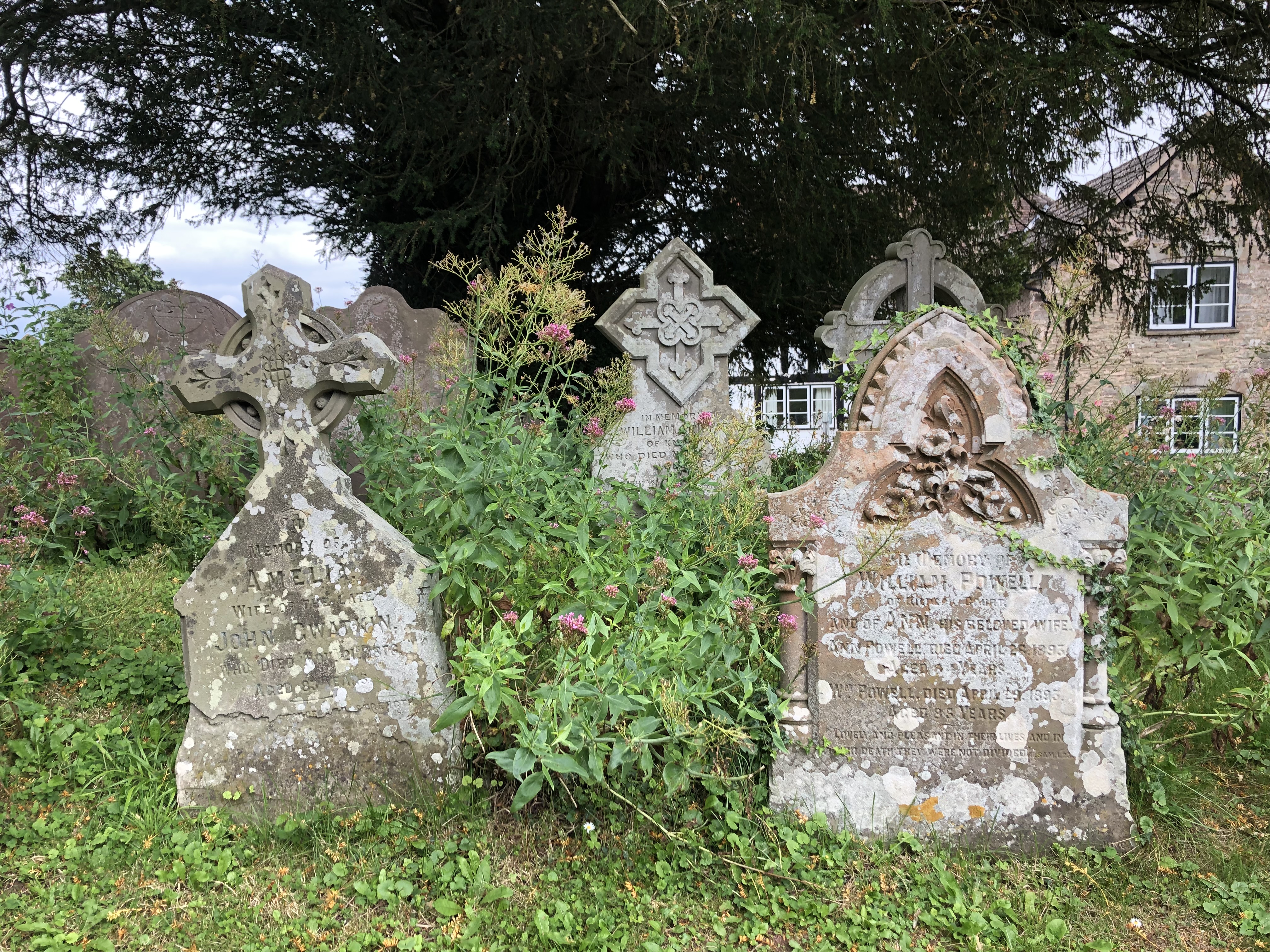
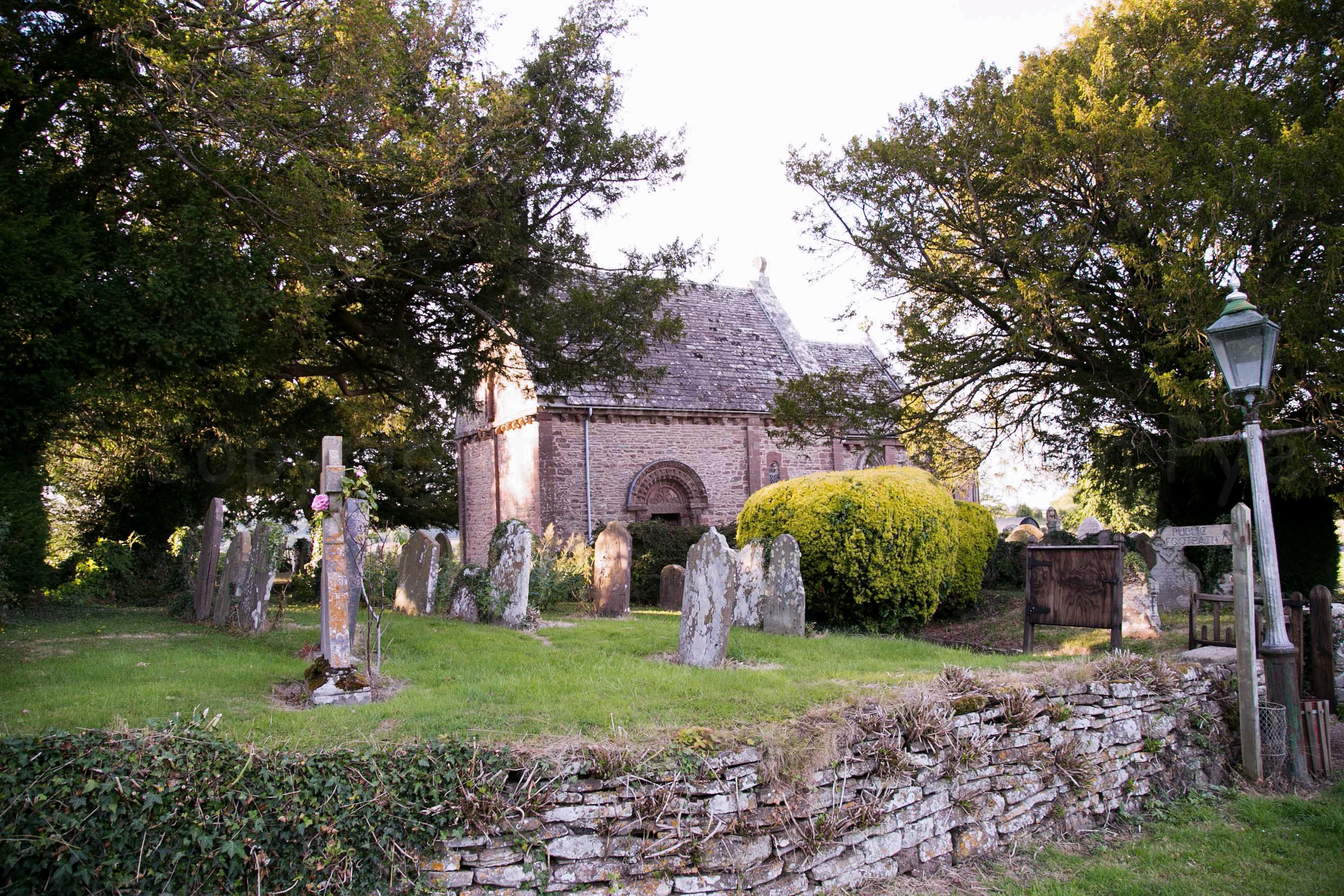
| Memorials | : | 1 |
| Location | : | Kilpeck, Herefordshire Unitary Authority, England |
| Coordinate | : | 51.9692310, -2.8076150 |
frequently asked questions (FAQ):
-
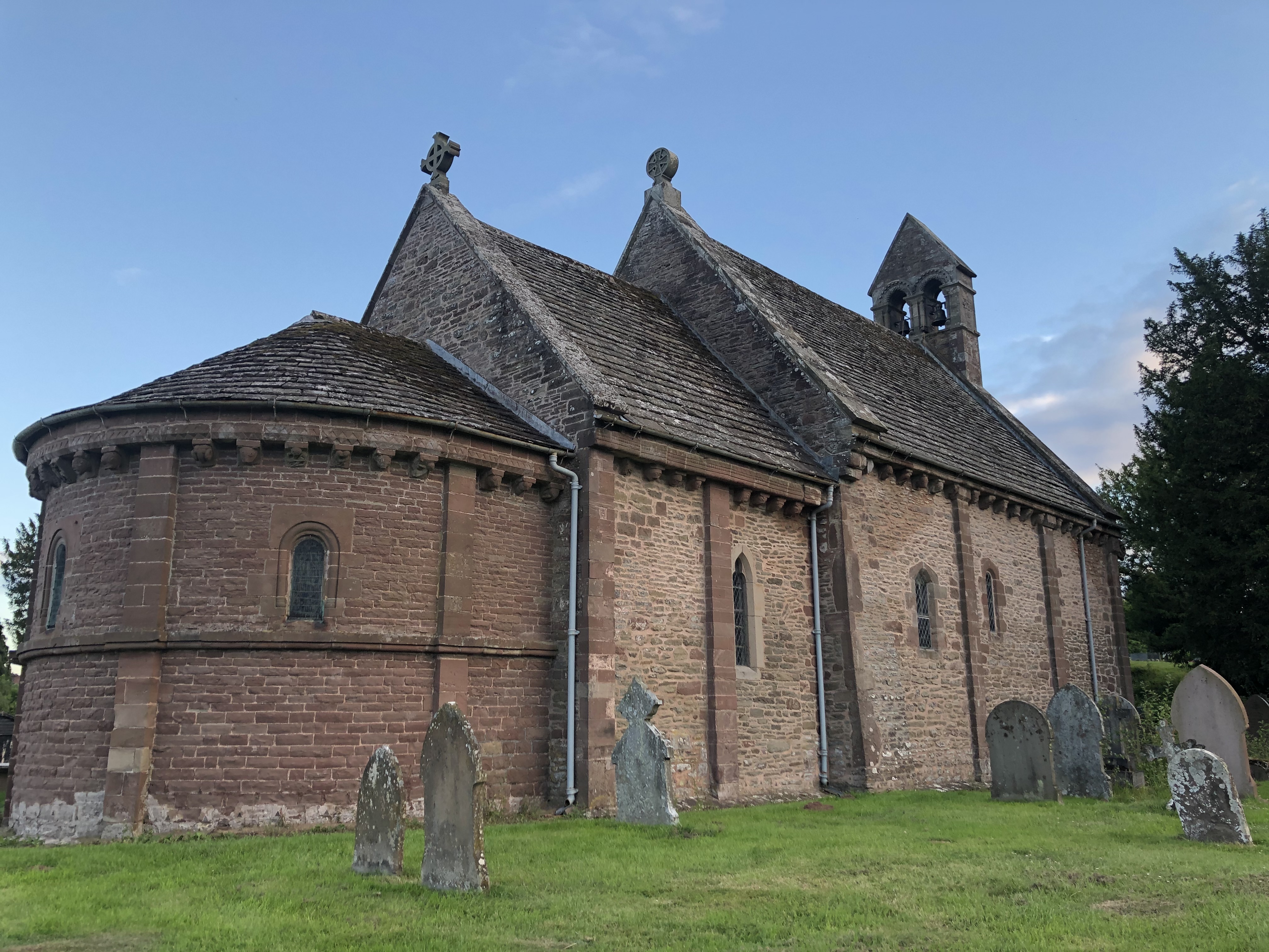
Where is St. Mary & David Churchyard?
St. Mary & David Churchyard is located at Kilpeck, Herefordshire, England Kilpeck, Herefordshire Unitary Authority ,Herefordshire , HR2 9DNEngland.
-
St. Mary & David Churchyard cemetery's updated grave count on graveviews.com?
1 memorials
-
Where are the coordinates of the St. Mary & David Churchyard?
Latitude: 51.9692310
Longitude: -2.8076150


Nearby Cemetories:
1. St Mary's Churchyard
Kentchurch, Herefordshire Unitary Authority, England
Coordinate: 51.9263169, -2.8456161
2. Holy Trinity and St Mary Churchyard
Abbey Dore, Herefordshire Unitary Authority, England
Coordinate: 51.9686570, -2.8936760
3. St. Michael and All Angels Churchyard
Ewyas Harold, Herefordshire Unitary Authority, England
Coordinate: 51.9539100, -2.8926070
4. St. John the Baptist Churchyard
Llanwarne, Herefordshire Unitary Authority, England
Coordinate: 51.9501676, -2.7203512
5. Ewyas Harold Priory (Defunct)
Ewyas Harold, Herefordshire Unitary Authority, England
Coordinate: 51.9539100, -2.8969800
6. Aconbury Hill
Aconbury, Herefordshire Unitary Authority, England
Coordinate: 51.9932540, -2.7212790
7. Little Birch Churchyard
Little Birch, Herefordshire Unitary Authority, England
Coordinate: 51.9770250, -2.7126530
8. Priory Churchyard
Aconbury, Herefordshire Unitary Authority, England
Coordinate: 51.9978900, -2.7052160
9. All Saints Church
Clehonger, Herefordshire Unitary Authority, England
Coordinate: 52.0373470, -2.7806970
10. St Michael churchyard
Garway, Herefordshire Unitary Authority, England
Coordinate: 51.8982110, -2.7934460
11. St. David's Churchyard
Little Dewchurch, Herefordshire Unitary Authority, England
Coordinate: 51.9822934, -2.6865234
12. Belmont Abbey
Hereford, Herefordshire Unitary Authority, England
Coordinate: 52.0393000, -2.7564000
13. Hoarwithy Church of England
Hentland, Herefordshire Unitary Authority, England
Coordinate: 51.9612740, -2.6625310
14. St Martin Churchyard
Hereford, Herefordshire Unitary Authority, England
Coordinate: 52.0450100, -2.7202700
15. St. Dubricius Churchyard
Hentland, Herefordshire Unitary Authority, England
Coordinate: 51.9342080, -2.6660250
16. Church of St John of Jerusalem
Herefordshire Unitary Authority, England
Coordinate: 51.9914740, -2.6542940
17. Hereford Cemetery and Crematorium
Hereford, Herefordshire Unitary Authority, England
Coordinate: 52.0579510, -2.7389730
18. Church of the Grey Friars
Hereford, Herefordshire Unitary Authority, England
Coordinate: 52.0528480, -2.7209559
19. Barton Hall Cemetery
Hereford, Herefordshire Unitary Authority, England
Coordinate: 52.0541484, -2.7227701
20. St. Nicholas' Churchyard
Hereford, Herefordshire Unitary Authority, England
Coordinate: 52.0542540, -2.7207160
21. Hereford Cathedral
Hereford, Herefordshire Unitary Authority, England
Coordinate: 52.0541810, -2.7162690
22. St John The Baptist Churchyard
Kings Caple, Herefordshire Unitary Authority, England
Coordinate: 51.9562740, -2.6433720
23. St Peter with St Owen Churchyard
Hereford, Herefordshire Unitary Authority, England
Coordinate: 52.0561280, -2.7126470
24. St Dubricius' Church
Ballingham, Herefordshire Unitary Authority, England
Coordinate: 51.9818590, -2.6186990