
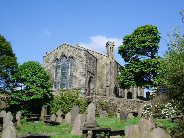
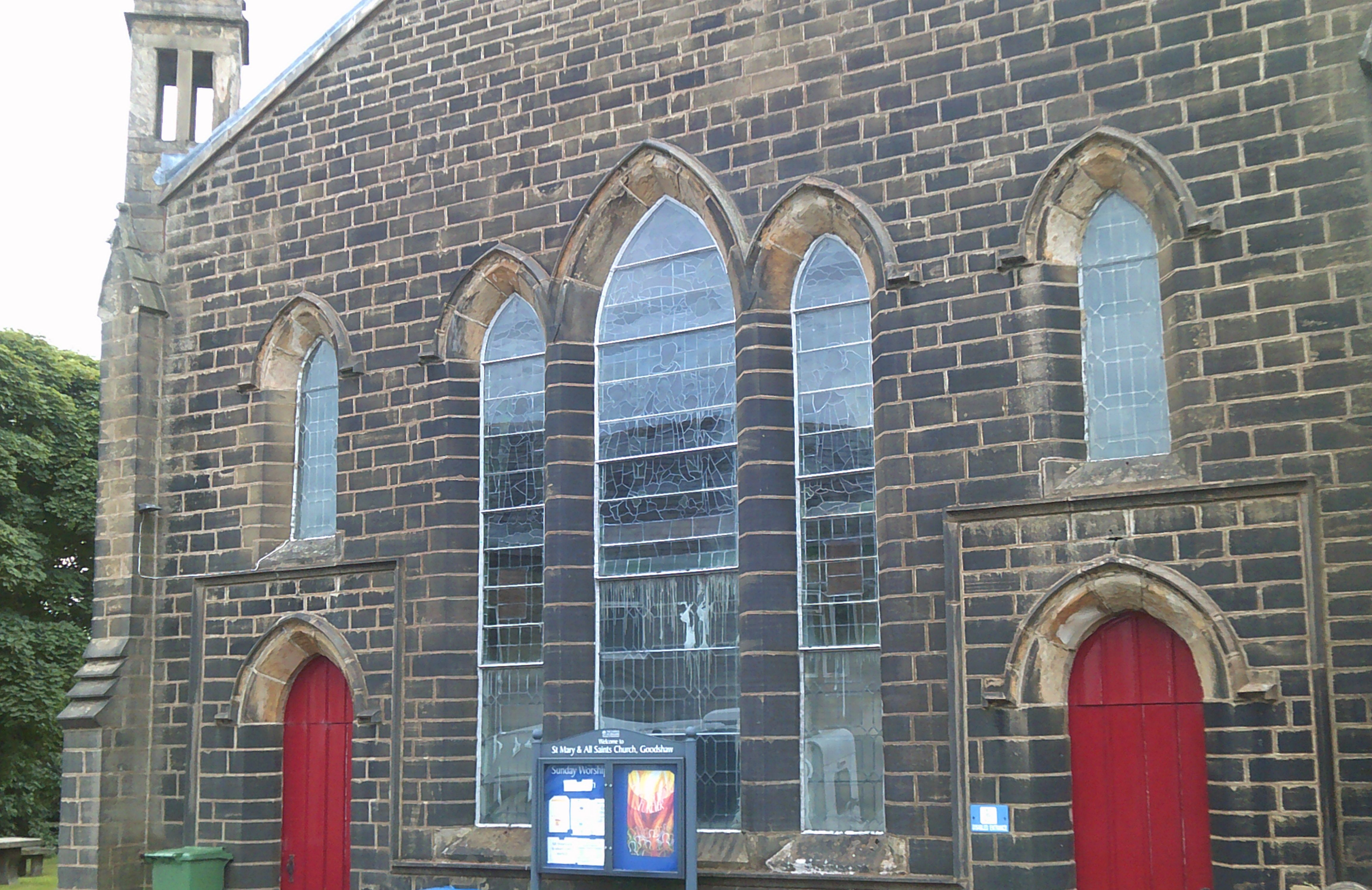
| Memorials | : | 15 |
| Location | : | Goodshaw, Rossendale Borough, England |
| Coordinate | : | 53.7315270, -2.2828940 |
frequently asked questions (FAQ):
-
Where is St. Mary and All Saints Churchyard?
St. Mary and All Saints Churchyard is located at Goodshaw Lane Goodshaw, Rossendale Borough ,Lancashire ,England.
-
St. Mary and All Saints Churchyard cemetery's updated grave count on graveviews.com?
15 memorials
-
Where are the coordinates of the St. Mary and All Saints Churchyard?
Latitude: 53.7315270
Longitude: -2.2828940
Nearby Cemetories:
1. Goodshaw Particular Baptist Chapel Graveyard
Goodshaw, Rossendale Borough, England
Coordinate: 53.7328210, -2.2815530
2. Rehoboth Chapel
Goodshaw, Rossendale Borough, England
Coordinate: 53.7355870, -2.2914730
3. Crawshawbooth Quaker Burial Ground
Crawshawbooth, Rossendale Borough, England
Coordinate: 53.7242420, -2.2879400
4. Providence Free United Methodist Graveyard
Crawshawbooth, Rossendale Borough, England
Coordinate: 53.7442070, -2.2825700
5. Burnley Road Cemetery, Reedsholme, Rossendale
Rossendale Borough, England
Coordinate: 53.7178398, -2.2904316
6. Broadleys Garden
Rawtenstall, Rossendale Borough, England
Coordinate: 53.7176321, -2.2904764
7. Friends Burial Ground
Rossendale, Rossendale Borough, England
Coordinate: 53.7091000, -2.2757160
8. Saint Michael on the Hill Churchyard
Lumb, Rossendale Borough, England
Coordinate: 53.7201000, -2.2479300
9. Lumb Baptist Church Cemetery
Waterfoot, Rossendale Borough, England
Coordinate: 53.7229340, -2.2455170
10. Rawtenstall Cemetery
Rawtenstall, Rossendale Borough, England
Coordinate: 53.7060200, -2.2847500
11. Unitarian Chapel Burial Ground
Rossendale, Rossendale Borough, England
Coordinate: 53.7024380, -2.2856290
12. Longholme Methodist Cemetery
Rawtenstall, Rossendale Borough, England
Coordinate: 53.7009730, -2.2865000
13. St James Churchyard
Haslingden, Rossendale Borough, England
Coordinate: 53.7084000, -2.3259550
14. King Street Methodist Chapel Chapelyard
Haslingden, Rossendale Borough, England
Coordinate: 53.7066710, -2.3231330
15. Saint Anne's Churchyard Edgeside
Waterfoot, Rossendale Borough, England
Coordinate: 53.7031600, -2.2482700
16. Ebenezer Baptist Chapel Chapelyard
Haslingden, Rossendale Borough, England
Coordinate: 53.7053960, -2.3230070
17. St. John the Baptist Churchyard
Baxenden, Hyndburn Borough, England
Coordinate: 53.7346500, -2.3470230
18. Bethlehem Chapel Graveyard
Newchurch, Rossendale Borough, England
Coordinate: 53.6976970, -2.2522620
19. Newchurch Methodist Churchyard
Newchurch, Rossendale Borough, England
Coordinate: 53.6983460, -2.2501260
20. St. Nicholas Churchyard
Newchurch, Rossendale Borough, England
Coordinate: 53.6972220, -2.2524660
21. Holden Hall Cemetery
Haslingden, Rossendale Borough, England
Coordinate: 53.6989870, -2.3427780
22. Haslingden Cemetery
Haslingden, Rossendale Borough, England
Coordinate: 53.6989500, -2.3427700
23. Christ Church Churchyard
Accrington, Hyndburn Borough, England
Coordinate: 53.7478560, -2.3605820
24. Accrington Cemetery and Crematorium
Accrington, Hyndburn Borough, England
Coordinate: 53.7623787, -2.3508649