
| Memorials | : | 0 |
| Location | : | Boulton Moor, Derby Unitary Authority, England |
| Coordinate | : | 52.8934130, -1.4300740 |
frequently asked questions (FAQ):
-
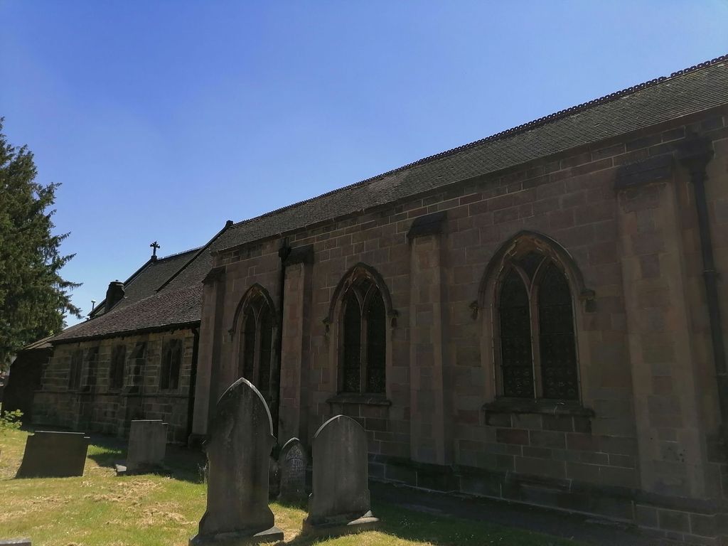
Where is St Mary Churchyard?
St Mary Churchyard is located at Boulton Moor, Derby Unitary Authority ,Derbyshire ,England.
-
St Mary Churchyard cemetery's updated grave count on graveviews.com?
0 memorials
-
Where are the coordinates of the St Mary Churchyard?
Latitude: 52.8934130
Longitude: -1.4300740
Nearby Cemetories:
1. St. Michael & All Angels Churchyard
Alvaston, Derby Unitary Authority, England
Coordinate: 52.8961970, -1.4182020
2. St Bartholomew Churchyard
Elvaston, South Derbyshire District, England
Coordinate: 52.8926540, -1.3965070
3. St. Peter's Churchyard
Chellaston, Derby Unitary Authority, England
Coordinate: 52.8694725, -1.4350250
4. Saint Werburgh
Spondon, Derby Unitary Authority, England
Coordinate: 52.9192500, -1.4094400
5. Methodist Cemetery
Borrowash, Erewash Borough, England
Coordinate: 52.9064496, -1.3784038
6. Nottingham Road Cemetery
Chaddesden, Derby Unitary Authority, England
Coordinate: 52.9262520, -1.4472770
7. St Mary Churchyard
Chaddesden, Derby Unitary Authority, England
Coordinate: 52.9280661, -1.4333033
8. St. Mary's Parish Church Cemetery
Derby Unitary Authority, England
Coordinate: 52.9281277, -1.4335680
9. Chaddesden Cemetery
Chaddesden, Derby Unitary Authority, England
Coordinate: 52.9266230, -1.4476160
10. Normanton Cemetery
Normanton, Derby Unitary Authority, England
Coordinate: 52.8968930, -1.4927830
11. Moor Lane
Aston on Trent, South Derbyshire District, England
Coordinate: 52.8651600, -1.3826900
12. St. James' Churchyard
Swarkestone, South Derbyshire District, England
Coordinate: 52.8535560, -1.4490940
13. All Saints Churchyard
Aston on Trent, South Derbyshire District, England
Coordinate: 52.8606040, -1.3866670
14. Derby Cathedral
Derby, Derby Unitary Authority, England
Coordinate: 52.9248070, -1.4771920
15. All Saints Churchyard
Ockbrook, Erewash Borough, England
Coordinate: 52.9170770, -1.3713030
16. Ockbrook Moravian Burial Ground
Ockbrook, Erewash Borough, England
Coordinate: 52.9215600, -1.3755740
17. Friar Gate Unitarian Chapel Chapelyard
Derby, Derby Unitary Authority, England
Coordinate: 52.9234250, -1.4840970
18. St. Alkmund's Churchyard
Derby, Derby Unitary Authority, England
Coordinate: 52.9281428, -1.4784725
19. Uttoxeter Road Cemetery
Derby, Derby Unitary Authority, England
Coordinate: 52.9194000, -1.4938100
20. St Peter's Churchyard
Littleover, Derby Unitary Authority, England
Coordinate: 52.9039020, -1.5068650
21. Barrow Upon Trent Cemetery
Barrow upon Trent, South Derbyshire District, England
Coordinate: 52.8532164, -1.4788765
22. St Mary the Virgin Churchyard
Weston on Trent, South Derbyshire District, England
Coordinate: 52.8444900, -1.4105600
23. St Wilfrid Churchyard
Barrow upon Trent, South Derbyshire District, England
Coordinate: 52.8517910, -1.4773020
24. St James Churchyard
Shardlow, South Derbyshire District, England
Coordinate: 52.8686280, -1.3508150