
| Memorials | : | 74 |
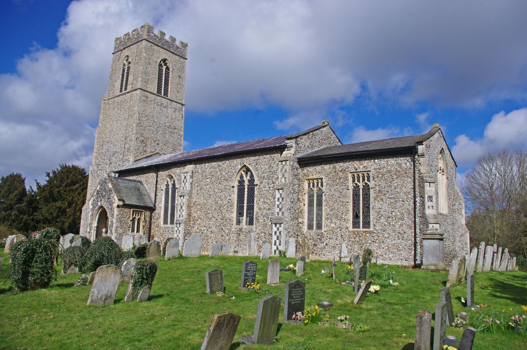
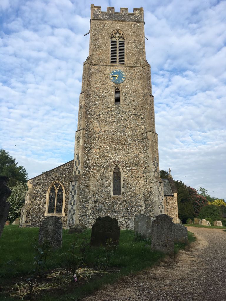
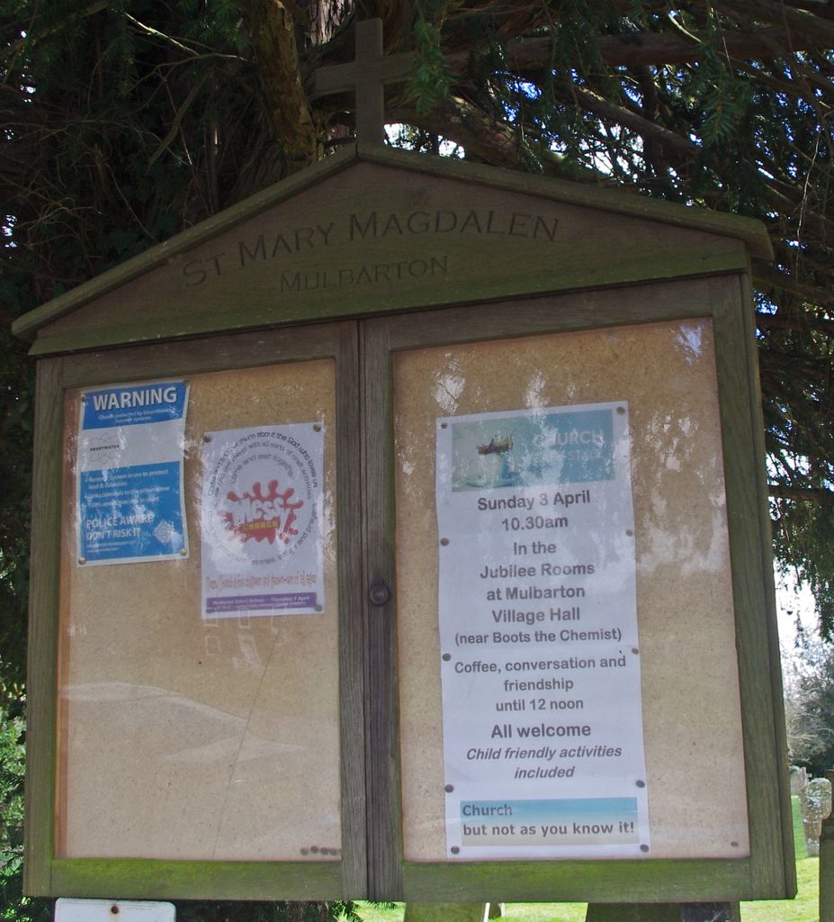
| Location | : | Mulbarton, South Norfolk District, England |
| Coordinate | : | 52.5638930, 1.2360530 |
frequently asked questions (FAQ):
-
Where is St. Mary Magdalen Churchyard?
St. Mary Magdalen Churchyard is located at Mulbarton, South Norfolk District ,Norfolk ,England.
-
St. Mary Magdalen Churchyard cemetery's updated grave count on graveviews.com?
4 memorials
-
Where are the coordinates of the St. Mary Magdalen Churchyard?
Latitude: 52.5638930
Longitude: 1.2360530


Nearby Cemetories:
1. St Mary Churchyard
East Carleton, South Norfolk District, England
Coordinate: 52.5726700, 1.2153470
2. St Nicholas Churchyard
Bracon Ash, South Norfolk District, England
Coordinate: 52.5559000, 1.2137000
3. All Saints Churchyard
Hethel, South Norfolk District, England
Coordinate: 52.5578530, 1.2014560
4. Keswick Churchyard
Keswick, South Norfolk District, England
Coordinate: 52.5909460, 1.2419310
5. All Saints Church, Intwood
Cringleford, South Norfolk District, England
Coordinate: 52.5910430, 1.2419930
6. St Mary's Churchyard
Newton Flotman, South Norfolk District, England
Coordinate: 52.5393520, 1.2617220
7. St. Peter's Churchyard
Ketteringham, South Norfolk District, England
Coordinate: 52.5778000, 1.1921000
8. St Remigius Churchyard
Dunston, South Norfolk District, England
Coordinate: 52.5722420, 1.2872510
9. St Michael And All Saint's
Flordon, South Norfolk District, England
Coordinate: 52.5294700, 1.2261400
10. All Saints Churchyard
Keswick, South Norfolk District, England
Coordinate: 52.5951470, 1.2675790
11. Saint Edmund Churchyard
Caistor St Edmund, South Norfolk District, England
Coordinate: 52.5826350, 1.2936850
12. St. Peter's Churchyard
Cringleford, South Norfolk District, England
Coordinate: 52.6057990, 1.2453370
13. Eaton Parish Burial Ground
Eaton, City of Norwich, England
Coordinate: 52.6053900, 1.2556800
14. St. Margaret Churchyard
Hapton, South Norfolk District, England
Coordinate: 52.5244110, 1.2066410
15. St. Andrew's Old Churchyard
Eaton, City of Norwich, England
Coordinate: 52.6068200, 1.2514300
16. St Mary Churchyard
Shotesham, South Norfolk District, England
Coordinate: 52.5411110, 1.2985880
17. Saint Remigius Churchyard
Hethersett, South Norfolk District, England
Coordinate: 52.5992830, 1.1889340
18. St. Mary's Churchyard
Saxlingham Nethergate, South Norfolk District, England
Coordinate: 52.5268910, 1.2880390
19. All Saints Church
Shotesham, South Norfolk District, England
Coordinate: 52.5428610, 1.3120560
20. All Saints Churchyard
Ashwellthorpe, South Norfolk District, England
Coordinate: 52.5346560, 1.1638810
21. Saint Nicholas Churchyard
Fundenhall, South Norfolk District, England
Coordinate: 52.5275430, 1.1717020
22. St. John the Baptist Churchyard
Lakenham, City of Norwich, England
Coordinate: 52.6068660, 1.2971750
23. St Mary Churchyard
Arminghall, South Norfolk District, England
Coordinate: 52.5900300, 1.3234620
24. St. Andrew Churchyard
Colney, South Norfolk District, England
Coordinate: 52.6253800, 1.2206100