
| Memorials | : | 3 |
| Location | : | Blidworth, Newark and Sherwood District, England |
| Coordinate | : | 53.0946620, -1.1269380 |
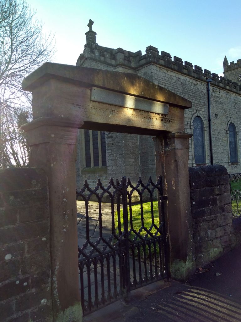
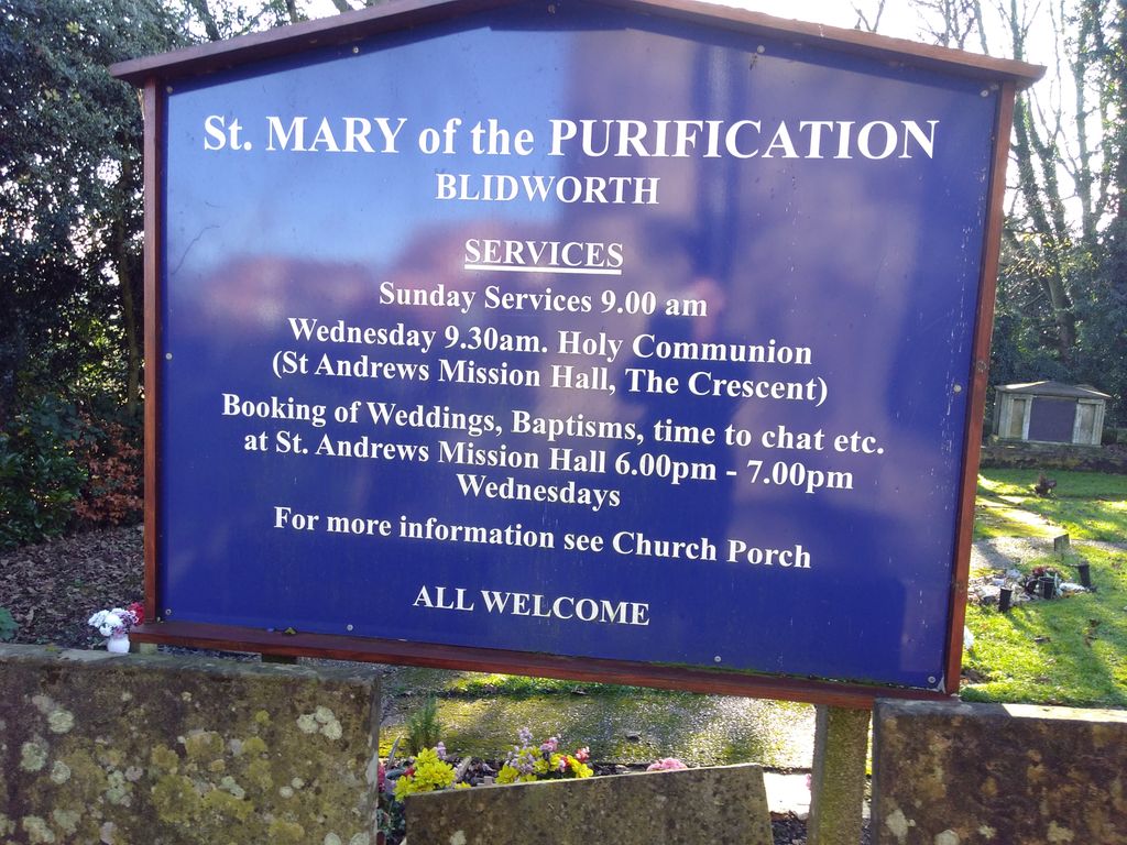
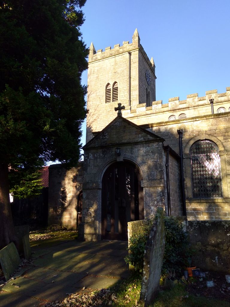
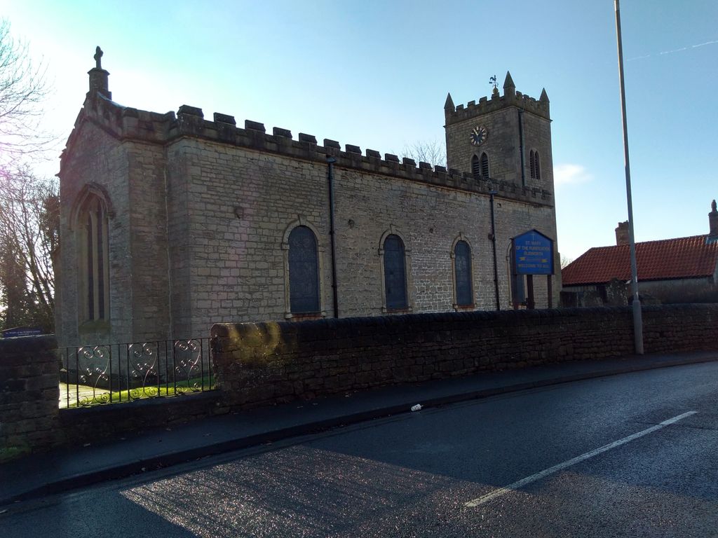
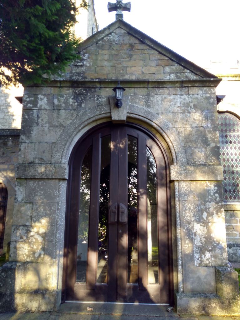
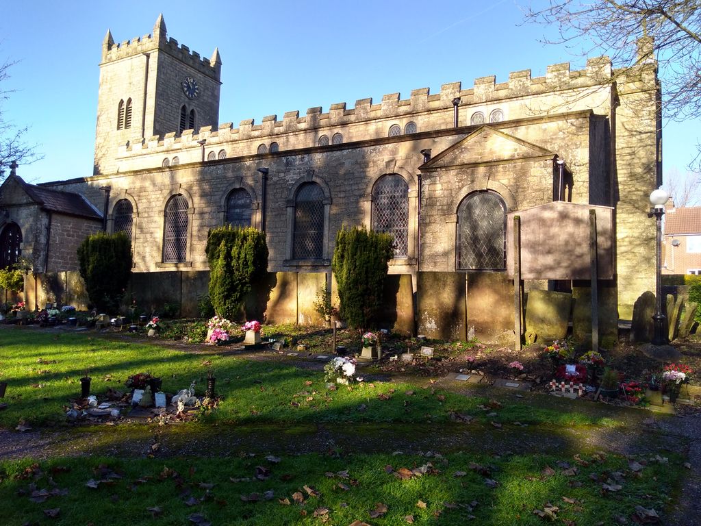
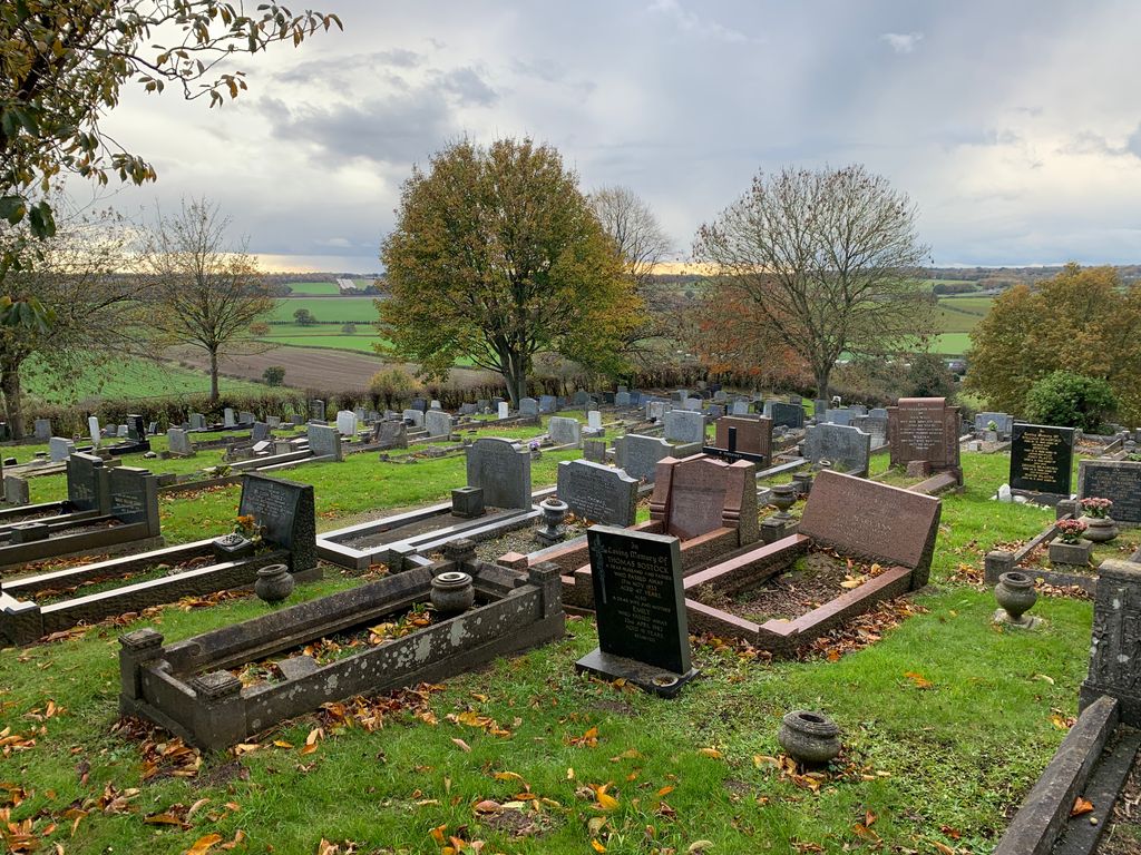
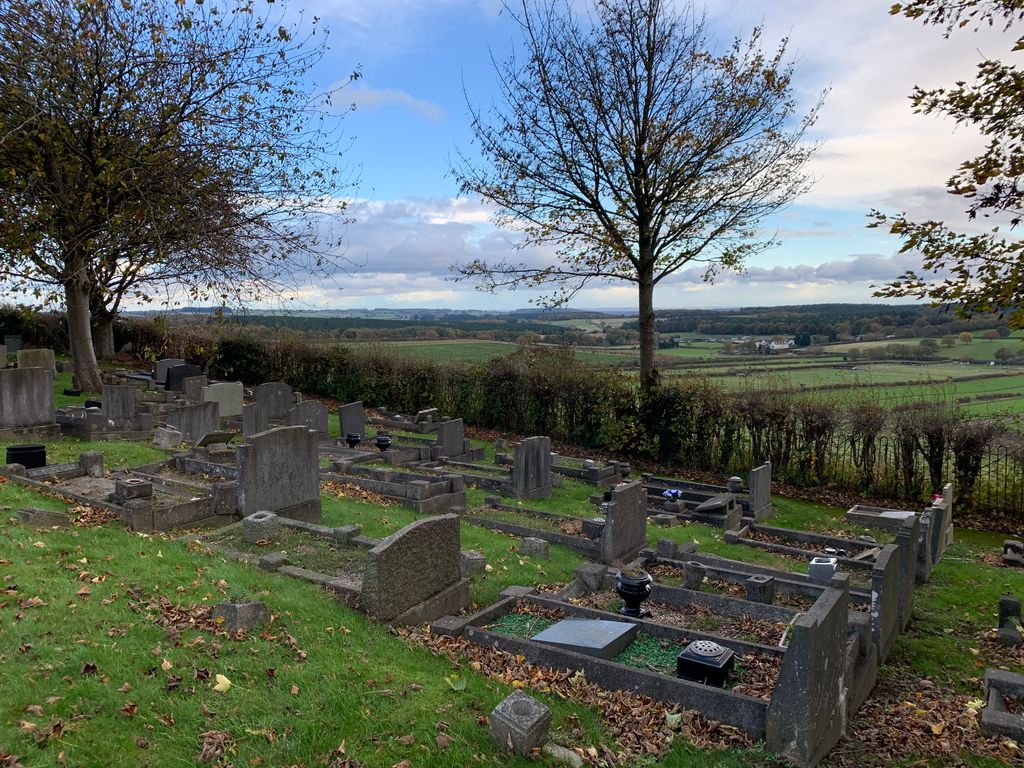
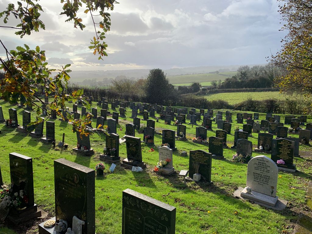
| Description | : | The parish church of St Mary of the Purification in Blidworth, Nottinghamshire, dates from the 15th century, with later additions in 1739 and 1839. This is the only church known to continue to hold an annual ‘Rocking Ceremony' in which a baby boy, born nearest to Christmas Day and having Christian parents living in Blidworth, is "rocked" in a cradle on the Feast of the Purification of Mary, which is on the Sunday nearest to Candlemas. An extensive churchyard is located south and south-west of the building. Part of the wall from the earlier church has been re-erected in the... Read More |
frequently asked questions (FAQ):
-
Where is St Mary of the Purification Churchyard?
St Mary of the Purification Churchyard is located at Blidworth, Newark and Sherwood District ,Nottinghamshire ,England.
-
St Mary of the Purification Churchyard cemetery's updated grave count on graveviews.com?
3 memorials
-
Where are the coordinates of the St Mary of the Purification Churchyard?
Latitude: 53.0946620
Longitude: -1.1269380
Nearby Cemetories:
1. Tithe Green Burial Ground
Calverton, Gedling Borough, England
Coordinate: 53.0672540, -1.0949290
2. Newstead Abbey
Newstead, Gedling Borough, England
Coordinate: 53.0783450, -1.1931120
3. Mansfield Crematorium
Mansfield, Mansfield District, England
Coordinate: 53.1214230, -1.1946980
4. Mansfield Cemetery
Mansfield, Mansfield District, England
Coordinate: 53.1250960, -1.1934520
5. Nottingham Road Cemetery
Mansfield, Mansfield District, England
Coordinate: 53.1270400, -1.1920500
6. St. James Churchyard
Papplewick, Gedling Borough, England
Coordinate: 53.0582060, -1.1872990
7. St Michael Churchyard
Farnsfield, Newark and Sherwood District, England
Coordinate: 53.1021600, -1.0363990
8. St Peter and St Paul Churchyard
Oxton, Newark and Sherwood District, England
Coordinate: 53.0560880, -1.0613440
9. St Alban the Martyr Churchyard
Forest Town, Mansfield District, England
Coordinate: 53.1524570, -1.1632350
10. St. Peter's Churchyard
Mansfield, Mansfield District, England
Coordinate: 53.1434700, -1.1928900
11. St. Mary the Virgin Churchyard
Newstead, Gedling Borough, England
Coordinate: 53.0688200, -1.2273000
12. Newstead Hucknall Road Cemetery
Newstead, Gedling Borough, England
Coordinate: 53.0651470, -1.2298350
13. Kingsway New Cemetery
Kirkby-in-Ashfield, Ashfield District, England
Coordinate: 53.0917070, -1.2422500
14. Kingsway Old Cemetery
Kirkby-in-Ashfield, Ashfield District, England
Coordinate: 53.0936690, -1.2427970
15. Annesley and Felley
Annesley, Ashfield District, England
Coordinate: 53.0771910, -1.2407140
16. St Giles Churchyard
Edingley, Newark and Sherwood District, England
Coordinate: 53.0958400, -1.0082600
17. Clipstone Parish Cemetery
Clipstone, Newark and Sherwood District, England
Coordinate: 53.1657350, -1.1171430
18. St. Mary Magdalene Churchyard
Hucknall, Ashfield District, England
Coordinate: 53.0390630, -1.2058330
19. Hucknall Cemetery
Hucknall, Ashfield District, England
Coordinate: 53.0293427, -1.1988190
20. Woodborough Cemetery
Woodborough, Gedling Borough, England
Coordinate: 53.0272840, -1.0600540
21. St. Edmund King & Martyr Churchyard Extension
Mansfield, Mansfield District, England
Coordinate: 53.1638200, -1.1900600
22. All Saints Churchyard
Annesley, Ashfield District, England
Coordinate: 53.0662300, -1.2501190
23. St Michael the Archangel Churchyard
Halam, Newark and Sherwood District, England
Coordinate: 53.0822150, -0.9891350
24. St. Wilfrid's Churchyard Extension
Kirkby-in-Ashfield, Ashfield District, England
Coordinate: 53.0975000, -1.2693400