
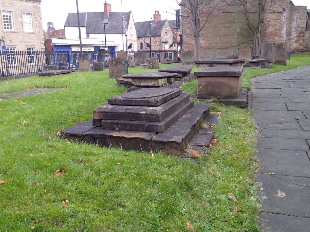
| Memorials | : | 1 |
| Location | : | Mansfield, Mansfield District, England |
| Coordinate | : | 53.1434700, -1.1928900 |
frequently asked questions (FAQ):
-
Where is St. Peter's Churchyard?
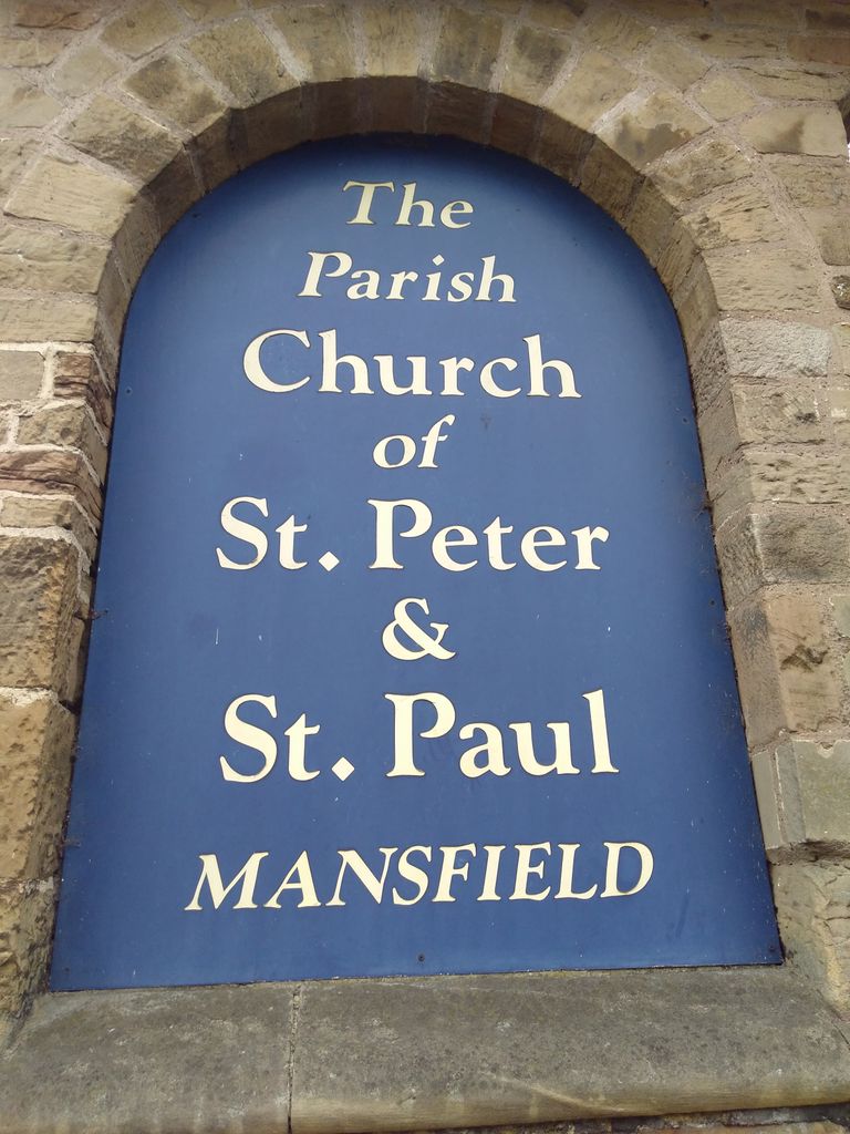
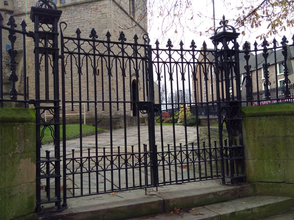
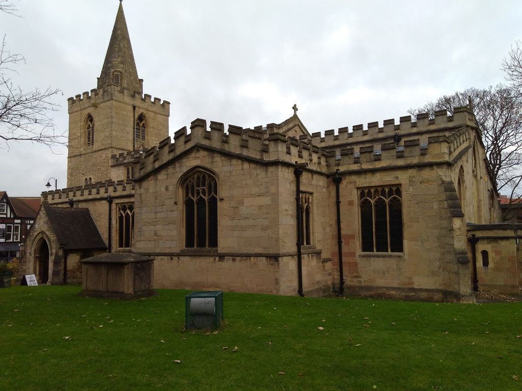
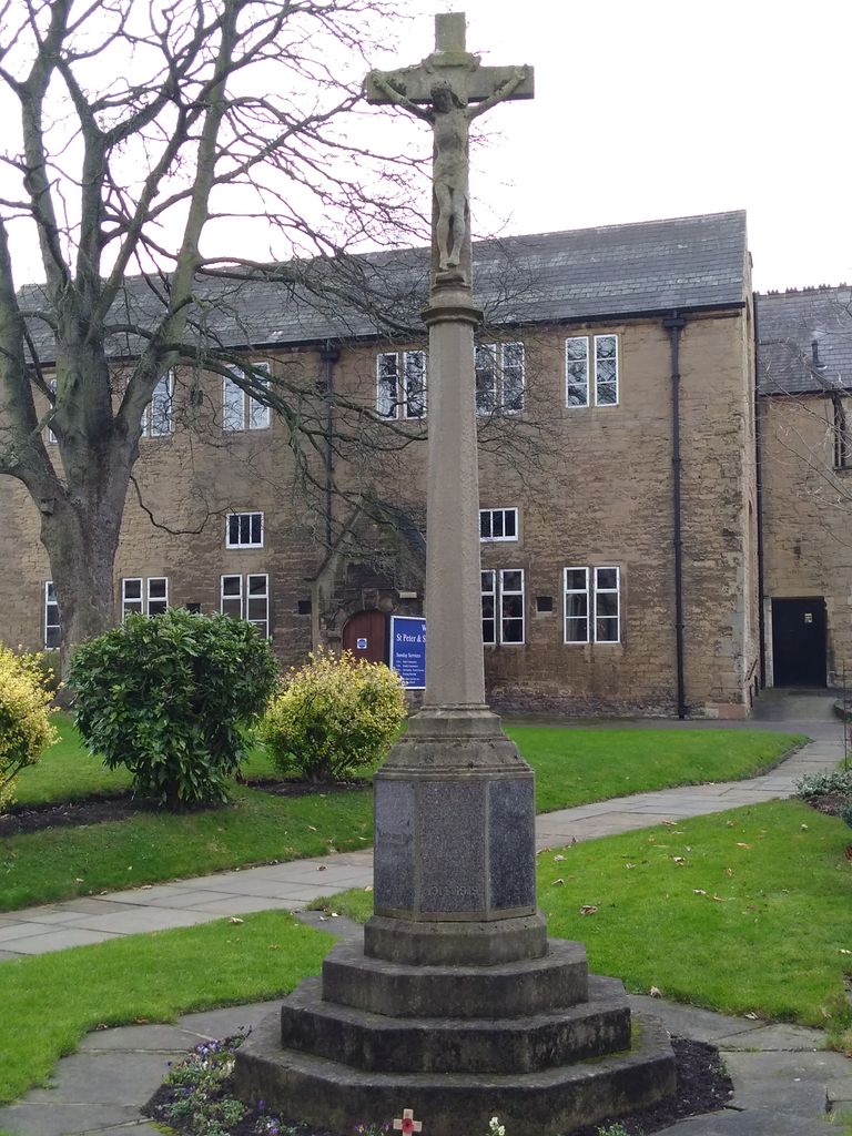
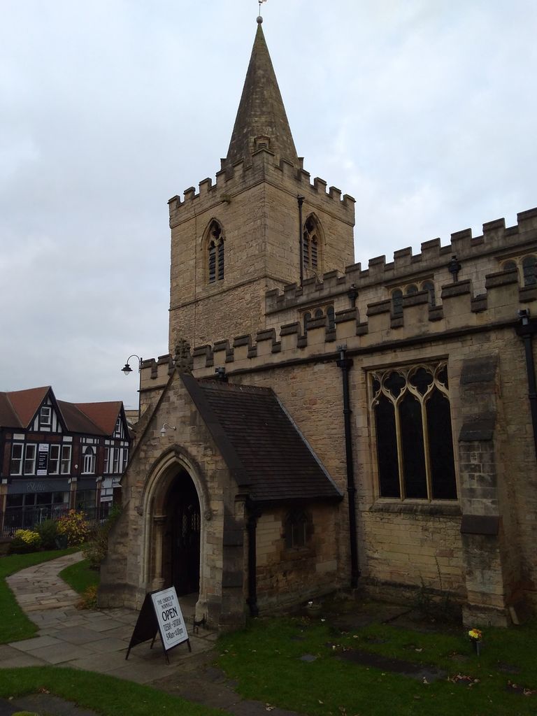
St. Peter's Churchyard is located at Mansfield, Mansfield District ,Nottinghamshire ,England.
-
St. Peter's Churchyard cemetery's updated grave count on graveviews.com?
0 memorials
-
Where are the coordinates of the St. Peter's Churchyard?
Latitude: 53.1434700
Longitude: -1.1928900
Nearby Cemetories:
1. Nottingham Road Cemetery
Mansfield, Mansfield District, England
Coordinate: 53.1270400, -1.1920500
2. Mansfield Cemetery
Mansfield, Mansfield District, England
Coordinate: 53.1250960, -1.1934520
3. St Alban the Martyr Churchyard
Forest Town, Mansfield District, England
Coordinate: 53.1524570, -1.1632350
4. St. Edmund King & Martyr Churchyard Extension
Mansfield, Mansfield District, England
Coordinate: 53.1638200, -1.1900600
5. Mansfield Crematorium
Mansfield, Mansfield District, England
Coordinate: 53.1214230, -1.1946980
6. Saint Andrew's Parish Churchyard
Skegby, Ashfield District, England
Coordinate: 53.1429900, -1.2661100
7. St Michael Churchyard
Pleasley, Bolsover District, England
Coordinate: 53.1755900, -1.2469200
8. St. Mary Magdalene Churchyard
Sutton-in-Ashfield, Ashfield District, England
Coordinate: 53.1255500, -1.2700820
9. Clipstone Parish Cemetery
Clipstone, Newark and Sherwood District, England
Coordinate: 53.1657350, -1.1171430
10. Sutton Cemetery
Sutton-in-Ashfield, Ashfield District, England
Coordinate: 53.1238890, -1.2714690
11. Kingsway Old Cemetery
Kirkby-in-Ashfield, Ashfield District, England
Coordinate: 53.0936690, -1.2427970
12. Kingsway New Cemetery
Kirkby-in-Ashfield, Ashfield District, England
Coordinate: 53.0917070, -1.2422500
13. St Mary of the Purification Churchyard
Blidworth, Newark and Sherwood District, England
Coordinate: 53.0946620, -1.1269380
14. St. Wilfrid's Churchyard Extension
Kirkby-in-Ashfield, Ashfield District, England
Coordinate: 53.0975000, -1.2693400
15. Newstead Abbey
Newstead, Gedling Borough, England
Coordinate: 53.0783450, -1.1931120
16. Annesley and Felley
Annesley, Ashfield District, England
Coordinate: 53.0771910, -1.2407140
17. St. Peter & St. Paul's Churchyard
Church Warsop, Mansfield District, England
Coordinate: 53.2134000, -1.1511200
18. St John the Baptist Churchyard
Ault Hucknall, Bolsover District, England
Coordinate: 53.1821350, -1.3021210
19. Warsop Cemetery
Warsop, Mansfield District, England
Coordinate: 53.2160000, -1.1497000
20. St. Mary the Virgin Churchyard
Newstead, Gedling Borough, England
Coordinate: 53.0688200, -1.2273000
21. Saint Leonard Churchyard
Scarcliffe, Bolsover District, England
Coordinate: 53.2139400, -1.2597200
22. Newstead Hucknall Road Cemetery
Newstead, Gedling Borough, England
Coordinate: 53.0651470, -1.2298350
23. All Saints Churchyard
Annesley, Ashfield District, England
Coordinate: 53.0662300, -1.2501190
24. St. James Churchyard
Papplewick, Gedling Borough, England
Coordinate: 53.0582060, -1.1872990