
| Memorials | : | 5 |
| Location | : | Annesley, Ashfield District, England |
| Coordinate | : | 53.0662300, -1.2501190 |
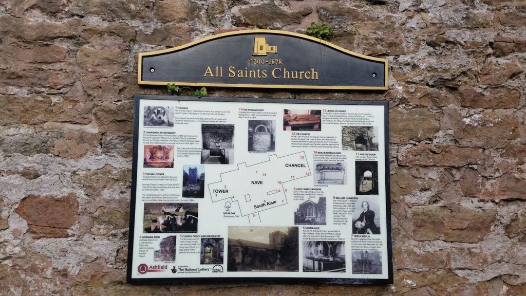
| Description | : | This is a disused church in a ruinous condition, which stands next to Annesley Hall. The remains of the church, are Grade 1 listed and the site is scheduled as an ancient monument. |
frequently asked questions (FAQ):
-
Where is All Saints Churchyard?
All Saints Churchyard is located at Mansfield Road Annesley, Ashfield District ,Nottinghamshire , NG15 0ASEngland.
-
All Saints Churchyard cemetery's updated grave count on graveviews.com?
5 memorials
-
Where are the coordinates of the All Saints Churchyard?
Latitude: 53.0662300
Longitude: -1.2501190


Nearby Cemetories:
1. Newstead Hucknall Road Cemetery
Newstead, Gedling Borough, England
Coordinate: 53.0651470, -1.2298350
2. Annesley and Felley
Annesley, Ashfield District, England
Coordinate: 53.0771910, -1.2407140
3. St. Mary the Virgin Churchyard
Newstead, Gedling Borough, England
Coordinate: 53.0688200, -1.2273000
4. Kingsway New Cemetery
Kirkby-in-Ashfield, Ashfield District, England
Coordinate: 53.0917070, -1.2422500
5. Kingsway Old Cemetery
Kirkby-in-Ashfield, Ashfield District, England
Coordinate: 53.0936690, -1.2427970
6. St. Wilfrid's Churchyard Extension
Kirkby-in-Ashfield, Ashfield District, England
Coordinate: 53.0975000, -1.2693400
7. Newstead Abbey
Newstead, Gedling Borough, England
Coordinate: 53.0783450, -1.1931120
8. St. Mary Magdalene Churchyard
Hucknall, Ashfield District, England
Coordinate: 53.0390630, -1.2058330
9. St. James Churchyard
Papplewick, Gedling Borough, England
Coordinate: 53.0582060, -1.1872990
10. St. Mary's Churchyard
Greasley, Broxtowe Borough, England
Coordinate: 53.0201100, -1.2720500
11. Hucknall Cemetery
Hucknall, Ashfield District, England
Coordinate: 53.0293427, -1.1988190
12. St. Mary's Churchyard
Jacksdale, Ashfield District, England
Coordinate: 53.0577660, -1.3326300
13. St. Helen's Churchyard
Pinxton, Bolsover District, England
Coordinate: 53.0904510, -1.3243570
14. Sutton Cemetery
Sutton-in-Ashfield, Ashfield District, England
Coordinate: 53.1238890, -1.2714690
15. St. Mary Magdalene Churchyard
Sutton-in-Ashfield, Ashfield District, England
Coordinate: 53.1255500, -1.2700820
16. Christ Church Churchyard
Ironville, Amber Valley Borough, England
Coordinate: 53.0628250, -1.3508600
17. St. Mary's Churchyard
Eastwood, Broxtowe Borough, England
Coordinate: 53.0166227, -1.3084371
18. Mansfield Crematorium
Mansfield, Mansfield District, England
Coordinate: 53.1214230, -1.1946980
19. Eastwood Cemetery
Eastwood, Broxtowe Borough, England
Coordinate: 53.0115814, -1.3073300
20. St John's Church, Aldercar
Amber Valley Borough, England
Coordinate: 53.0266800, -1.3360000
21. St. James's Churchyard
Riddings, Amber Valley Borough, England
Coordinate: 53.0702500, -1.3618710
22. Mansfield Cemetery
Mansfield, Mansfield District, England
Coordinate: 53.1250960, -1.1934520
23. St. Michael and All Angels Churchyard
South Normanton, Bolsover District, England
Coordinate: 53.1091020, -1.3411800
24. Nottingham Road Cemetery
Mansfield, Mansfield District, England
Coordinate: 53.1270400, -1.1920500