
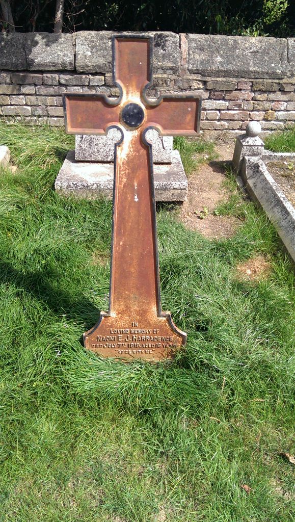
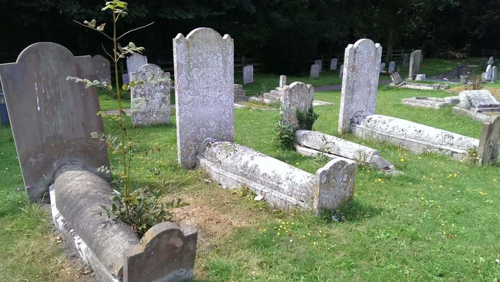
| Memorials | : | 0 |
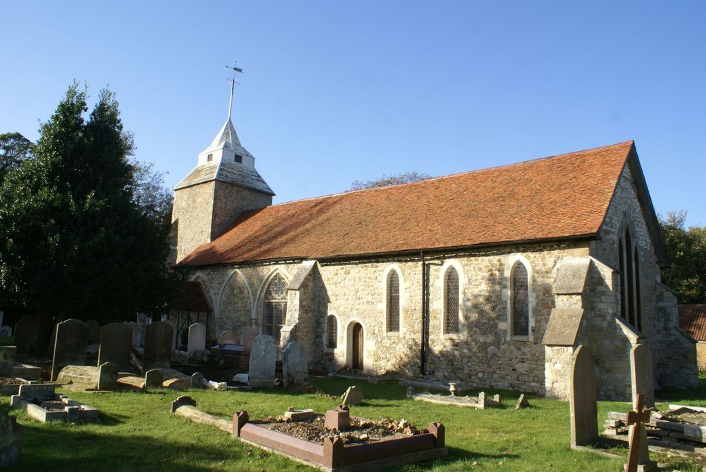
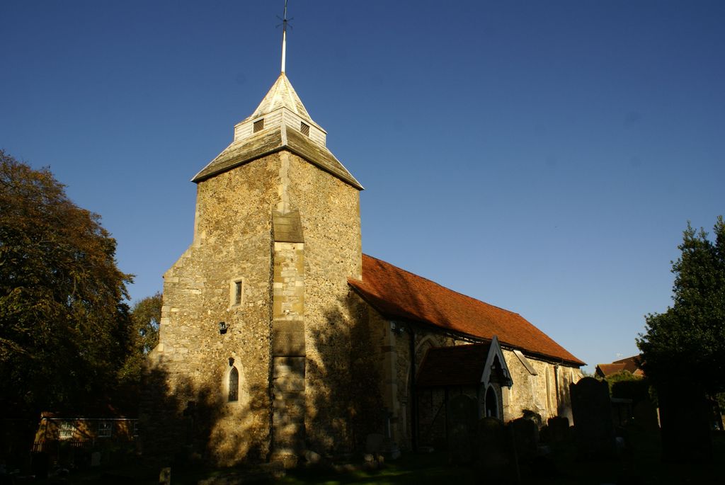
| Location | : | Shoeburyness, Southend-on-Sea Unitary Authority, England |
| Coordinate | : | 51.5411740, 0.7804210 |
frequently asked questions (FAQ):
-
Where is St Mary the Virgin?
St Mary the Virgin is located at North Shoebury Road, North Shoebury Shoeburyness, Southend-on-Sea Unitary Authority ,Essex , SS3 8ULEngland.
-
St Mary the Virgin cemetery's updated grave count on graveviews.com?
0 memorials
-
Where are the coordinates of the St Mary the Virgin?
Latitude: 51.5411740
Longitude: 0.7804210
Nearby Cemetories:
1. St. Andrew the Apostle Churchyard
Shoeburyness, Southend-on-Sea Unitary Authority, England
Coordinate: 51.5273210, 0.7801570
2. St Mary the Virgin Churchyard
Little Wakering, Southend-on-Sea Unitary Authority, England
Coordinate: 51.5606390, 0.7894770
3. St Nicholas Churchyard
Great Wakering, Rochford District, England
Coordinate: 51.5532070, 0.8106650
4. Holy Trinity Churchyard
Southchurch, Southend-on-Sea Unitary Authority, England
Coordinate: 51.5417410, 0.7409850
5. All Saints Churchyard
Barling Magna, Rochford District, England
Coordinate: 51.5729840, 0.7865930
6. St Mary the Virgin Churchyard
Sutton, Rochford District, England
Coordinate: 51.5617980, 0.7379720
7. St. John the Baptist Churchyard
Southend-on-Sea, Southend-on-Sea Unitary Authority, England
Coordinate: 51.5344770, 0.7139610
8. Southend-On-Sea Crematorium
Southend-on-Sea, Southend-on-Sea Unitary Authority, England
Coordinate: 51.5579630, 0.7178090
9. Sutton Road Cemetery
Southend-on-Sea, Southend-on-Sea Unitary Authority, England
Coordinate: 51.5581980, 0.7160330
10. All Saints Churchyard
Sutton, Rochford District, England
Coordinate: 51.5703210, 0.7226620
11. St. Mary the Virgin Churchyard
Prittlewell, Southend-on-Sea Unitary Authority, England
Coordinate: 51.5490570, 0.7054530
12. North Road Burial Ground
Westcliff-on-Sea, Southend-on-Sea Unitary Authority, England
Coordinate: 51.5428130, 0.7024620
13. Stock Road Jewish Cemetery
Southend-on-Sea, Southend-on-Sea Unitary Authority, England
Coordinate: 51.5571444, 0.7055500
14. St Mary and All Saints Churchyard
Stambridge, Rochford District, England
Coordinate: 51.5835790, 0.7331670
15. St. Peter's Churchyard
Paglesham, Rochford District, England
Coordinate: 51.6034280, 0.7799570
16. St. Andrew's Churchyard
Rochford, Rochford District, England
Coordinate: 51.5803090, 0.7002030
17. St Mary Churchyard
Stambridge, Rochford District, England
Coordinate: 51.5948750, 0.7233380
18. St Laurence and All Saints Churchyard
Eastwood, Southend-on-Sea Unitary Authority, England
Coordinate: 51.5677030, 0.6847360
19. Rochford Lawn Cemetery
Rochford, Rochford District, England
Coordinate: 51.5829870, 0.6759490
20. Hall Road Cemetery
Rochford, Rochford District, England
Coordinate: 51.5842870, 0.6749670
21. St. Clement's Churchyard
Leigh-on-Sea, Southend-on-Sea Unitary Authority, England
Coordinate: 51.5412990, 0.6542310
22. St Nicholas Churchyard
Canewdon, Rochford District, England
Coordinate: 51.6177030, 0.7383670
23. Leigh Cemetery
Leigh-on-Sea, Southend-on-Sea Unitary Authority, England
Coordinate: 51.5481500, 0.6496740
24. St Andrew Churchyard
Ashingdon, Rochford District, England
Coordinate: 51.6103050, 0.6933730