| Memorials | : | 0 |
| Location | : | Clophill, Central Bedfordshire Unitary Authority, England |
| Coordinate | : | 52.0318880, -0.4126840 |
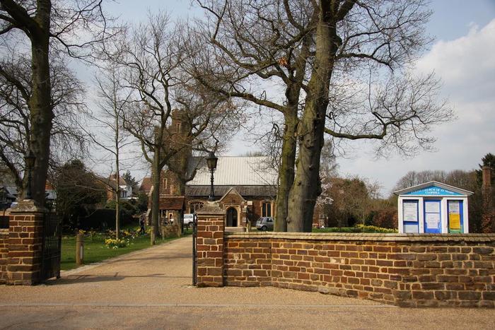
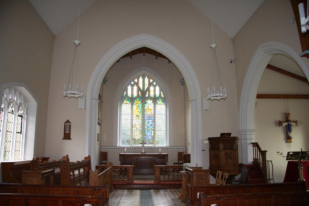
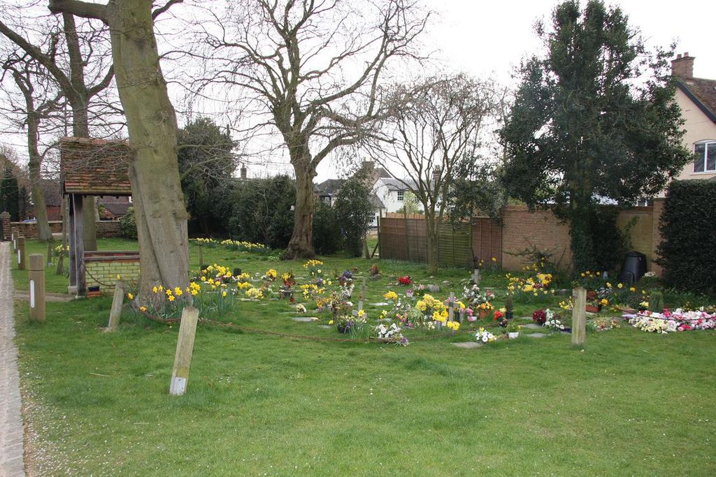
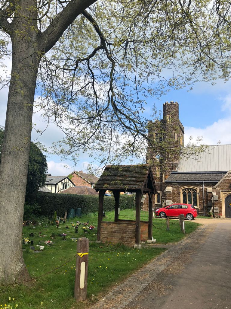
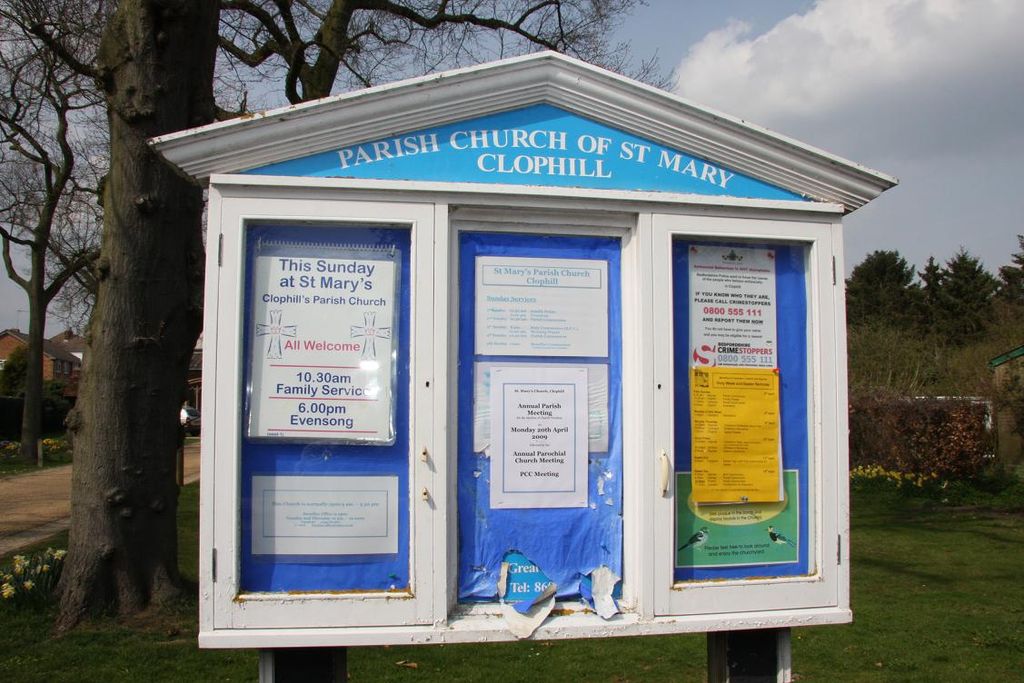
| Description | : | St Mary the Virgin is the newer of Clophill's two churches but is the only one used for worship. The church is an 1840's era building and stands at the foot of the same hill where the old church stands. The churchyard features the War Memorial erected in memory of Clophill's dead who served in the two World Wars. There is also a Garden of Rest which appears to contain cremated remains. There are no traditional style headstones to be seen here, so if you are looking for these headstones then people would probably need look at Old... Read More |
frequently asked questions (FAQ):
-
Where is St Mary the Virgin Churchyard?
St Mary the Virgin Churchyard is located at High Street Clophill, Central Bedfordshire Unitary Authority ,Bedfordshire , MK45 4BEEngland.
-
St Mary the Virgin Churchyard cemetery's updated grave count on graveviews.com?
0 memorials
-
Where are the coordinates of the St Mary the Virgin Churchyard?
Latitude: 52.0318880
Longitude: -0.4126840
Nearby Cemetories:
1. Old St. Mary's Churchyard
Clophill, Central Bedfordshire Unitary Authority, England
Coordinate: 52.0373000, -0.4096000
2. Beadlow Priory
Clophill, Central Bedfordshire Unitary Authority, England
Coordinate: 52.0339100, -0.3905900
3. St James the Great Churchyard
Silsoe, Central Bedfordshire Unitary Authority, England
Coordinate: 52.0082000, -0.4246200
4. St Mary Churchyard
Haynes, Central Bedfordshire Unitary Authority, England
Coordinate: 52.0585390, -0.4245850
5. St. Mary the Virgin Churchyard
Maulden, Central Bedfordshire Unitary Authority, England
Coordinate: 52.0307500, -0.4588700
6. St Giles Churchyard
Gravenhurst, Central Bedfordshire Unitary Authority, England
Coordinate: 52.0112000, -0.3797000
7. Chicksands Priory
Chicksands, Central Bedfordshire Unitary Authority, England
Coordinate: 52.0370000, -0.3600000
8. St Marys Churchyard
Gravenhurst, Central Bedfordshire Unitary Authority, England
Coordinate: 52.0045690, -0.3821720
9. St John the Baptist Churchyard
Flitton, Central Bedfordshire Unitary Authority, England
Coordinate: 52.0110150, -0.4578050
10. All Saints Churchyard
Campton, Central Bedfordshire Unitary Authority, England
Coordinate: 52.0295430, -0.3544430
11. Campton and Shefford Cemetery
Campton, Central Bedfordshire Unitary Authority, England
Coordinate: 52.0351600, -0.3483720
12. St Mary the Virgin Churchyard
Meppershall, Central Bedfordshire Unitary Authority, England
Coordinate: 52.0102000, -0.3483000
13. Ampthill Cemetery
Ampthill, Central Bedfordshire Unitary Authority, England
Coordinate: 52.0341527, -0.4871042
14. St. James Churchyard
Pulloxhill, Central Bedfordshire Unitary Authority, England
Coordinate: 51.9924399, -0.4552110
15. St Andrew Churchyard
Ampthill, Central Bedfordshire Unitary Authority, England
Coordinate: 52.0331050, -0.4897250
16. All Saints Churchyard
Shillington, Central Bedfordshire Unitary Authority, England
Coordinate: 51.9921700, -0.3648200
17. All Saints Churchyard
Houghton Conquest, Central Bedfordshire Unitary Authority, England
Coordinate: 52.0614340, -0.4787670
18. St Margaret Churchyard
Higham Gobion, Central Bedfordshire Unitary Authority, England
Coordinate: 51.9825550, -0.3942590
19. All Saints Churchyard
Upper Stondon, Central Bedfordshire Unitary Authority, England
Coordinate: 52.0065450, -0.3258350
20. All Saints Churchyard
Southill, Central Bedfordshire Unitary Authority, England
Coordinate: 52.0666240, -0.3298690
21. Flitwick Burial Ground
Flitwick, Central Bedfordshire Unitary Authority, England
Coordinate: 51.9974993, -0.5008905
22. St Peter and St Paul Churchyard
Flitwick, Central Bedfordshire Unitary Authority, England
Coordinate: 51.9970866, -0.5015783
23. Cotton End Baptist Church Churchyard
Bedford Borough, England
Coordinate: 52.0972832, -0.4166728
24. Clifton Friends Burial Ground
Clifton, Central Bedfordshire Unitary Authority, England
Coordinate: 52.0378800, -0.3033100

