
| Memorials | : | 0 |
| Location | : | Ampthill, Central Bedfordshire Unitary Authority, England |
| Coordinate | : | 52.0341527, -0.4871042 |
frequently asked questions (FAQ):
-
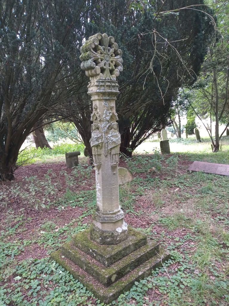
Where is Ampthill Cemetery?
Ampthill Cemetery is located at Gas House Lane Ampthill, Central Bedfordshire Unitary Authority ,Bedfordshire , MK45 2England.
-
Ampthill Cemetery cemetery's updated grave count on graveviews.com?
0 memorials
-
Where are the coordinates of the Ampthill Cemetery?
Latitude: 52.0341527
Longitude: -0.4871042
Nearby Cemetories:
1. St Andrew Churchyard
Ampthill, Central Bedfordshire Unitary Authority, England
Coordinate: 52.0331050, -0.4897250
2. St. Mary the Virgin Churchyard
Maulden, Central Bedfordshire Unitary Authority, England
Coordinate: 52.0307500, -0.4588700
3. St. Michael and All Angels Churchyard
Millbrook, Central Bedfordshire Unitary Authority, England
Coordinate: 52.0358350, -0.5231810
4. All Saints Churchyard
Houghton Conquest, Central Bedfordshire Unitary Authority, England
Coordinate: 52.0614340, -0.4787670
5. St John the Baptist Churchyard
Flitton, Central Bedfordshire Unitary Authority, England
Coordinate: 52.0110150, -0.4578050
6. St Lawrence Churchyard
Steppingley, Central Bedfordshire Unitary Authority, England
Coordinate: 52.0080630, -0.5278050
7. Flitwick Burial Ground
Flitwick, Central Bedfordshire Unitary Authority, England
Coordinate: 51.9974993, -0.5008905
8. St Peter and St Paul Churchyard
Flitwick, Central Bedfordshire Unitary Authority, England
Coordinate: 51.9970866, -0.5015783
9. St Mary Churchyard
Haynes, Central Bedfordshire Unitary Authority, England
Coordinate: 52.0585390, -0.4245850
10. St Mary the Virgin Churchyard
Marston Moretaine, Central Bedfordshire Unitary Authority, England
Coordinate: 52.0597750, -0.5484290
11. St Mary the Virgin Churchyard
Clophill, Central Bedfordshire Unitary Authority, England
Coordinate: 52.0318880, -0.4126840
12. St. James Churchyard
Pulloxhill, Central Bedfordshire Unitary Authority, England
Coordinate: 51.9924399, -0.4552110
13. St James the Great Churchyard
Silsoe, Central Bedfordshire Unitary Authority, England
Coordinate: 52.0082000, -0.4246200
14. Old St. Mary's Churchyard
Clophill, Central Bedfordshire Unitary Authority, England
Coordinate: 52.0373000, -0.4096000
15. St. Mary Magdalene Churchyard
Westoning, Central Bedfordshire Unitary Authority, England
Coordinate: 51.9841592, -0.5041169
16. St. Mary Magdalene Church Cemetery
Westoning, Central Bedfordshire Unitary Authority, England
Coordinate: 51.9834500, -0.5014400
17. All Saint's Churchyard
Ridgmont, Central Bedfordshire Unitary Authority, England
Coordinate: 52.0117910, -0.5719780
18. Beadlow Priory
Clophill, Central Bedfordshire Unitary Authority, England
Coordinate: 52.0339100, -0.3905900
19. St Nicholas Churchyard
Tingrith, Central Bedfordshire Unitary Authority, England
Coordinate: 51.9812660, -0.5347790
20. St Mary the Virgin Churchyard
Wootton, Bedford Borough, England
Coordinate: 52.0948730, -0.5362630
21. St Mary the Virgin Church Cemetery
Harlington, Central Bedfordshire Unitary Authority, England
Coordinate: 51.9645140, -0.4887520
22. St Giles Churchyard
Gravenhurst, Central Bedfordshire Unitary Authority, England
Coordinate: 52.0112000, -0.3797000
23. St Mary the Virgin Churchyard
Harlington, Central Bedfordshire Unitary Authority, England
Coordinate: 51.9637650, -0.4909810
24. St Marys Churchyard
Gravenhurst, Central Bedfordshire Unitary Authority, England
Coordinate: 52.0045690, -0.3821720