
| Memorials | : | 1 |
| Location | : | Gravenhurst, Central Bedfordshire Unitary Authority, England |
| Coordinate | : | 52.0045690, -0.3821720 |
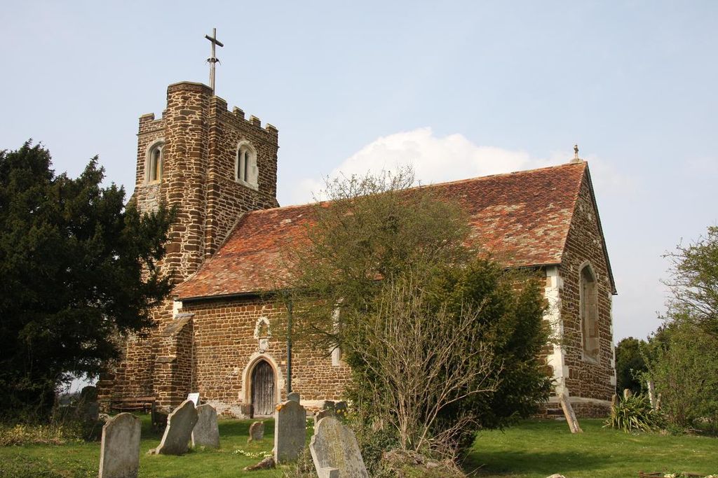
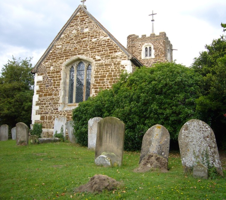
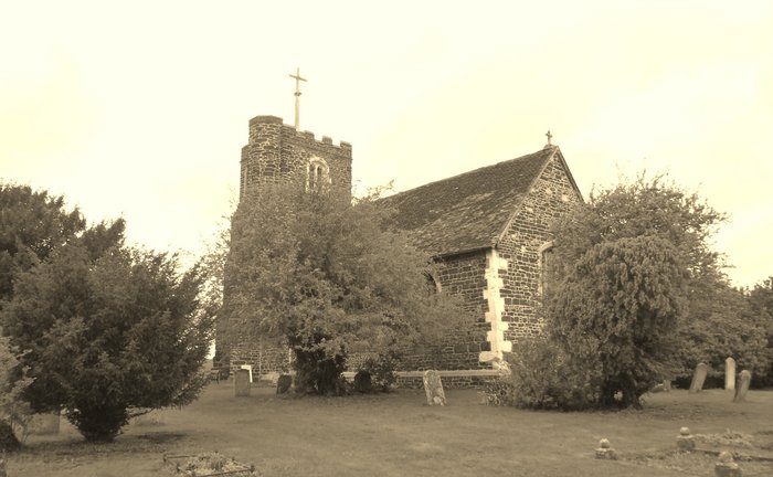
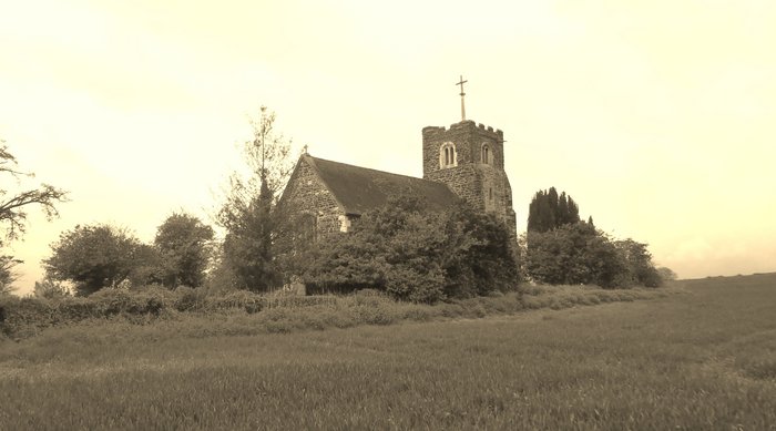
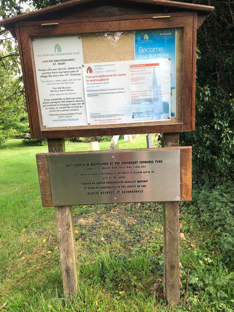
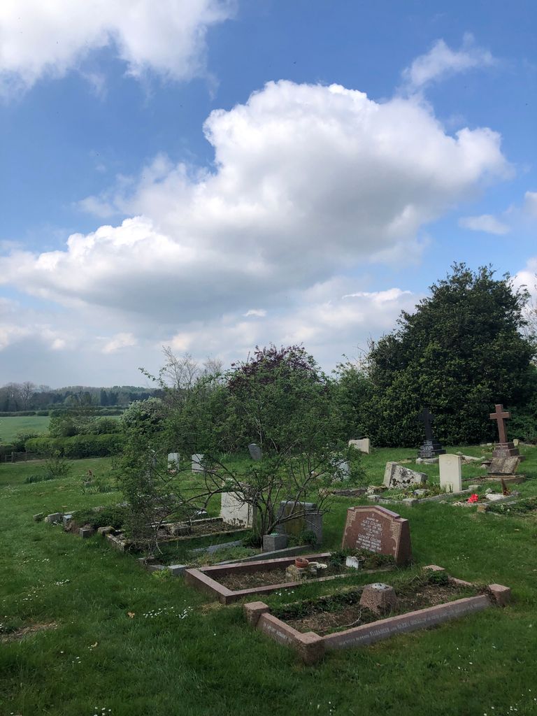
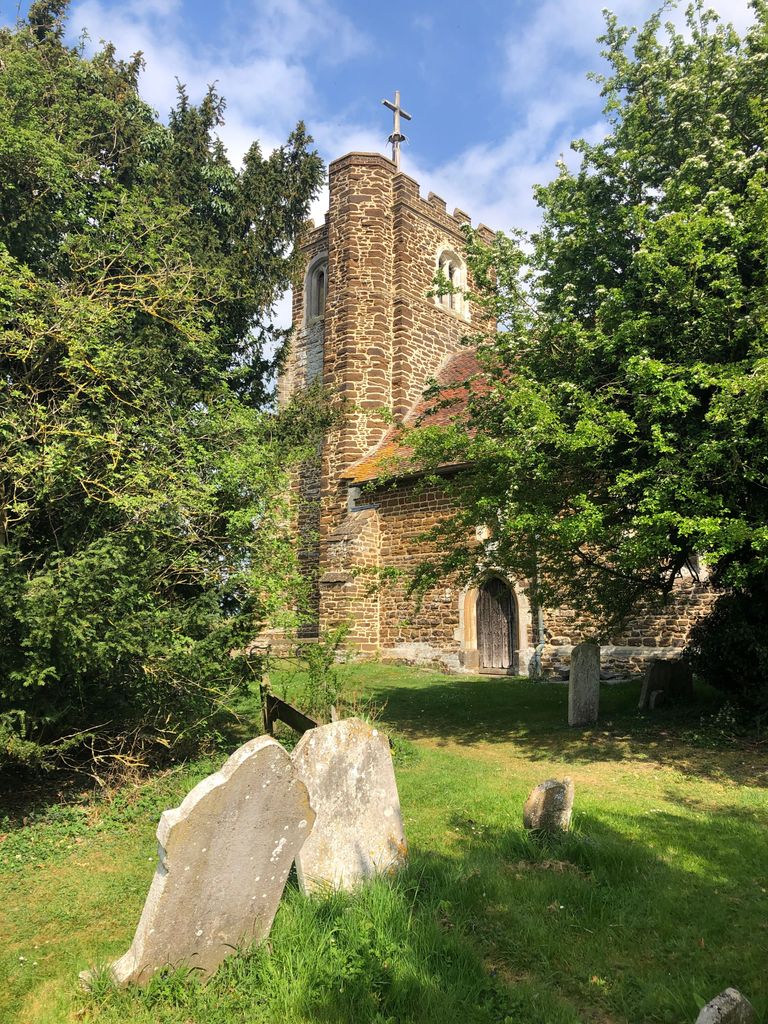
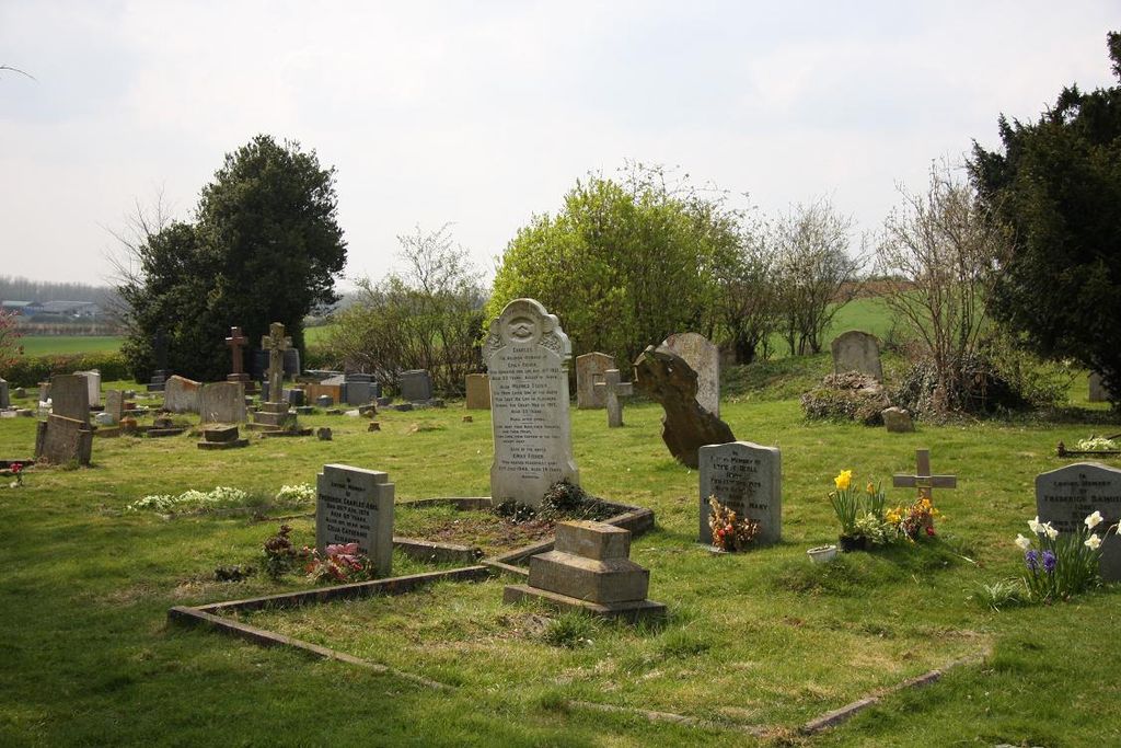
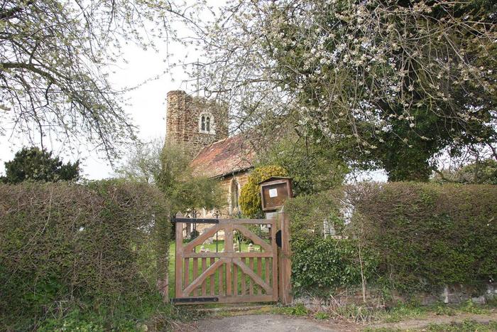
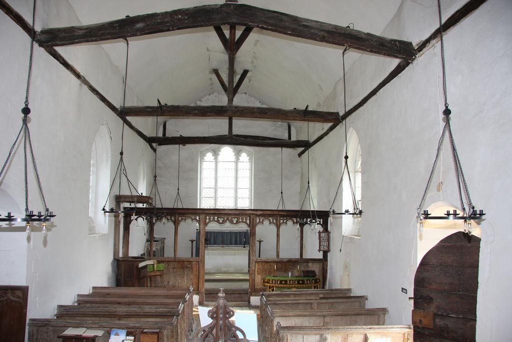
| Description | : | St Marys Church is an Anglican church in the village of Lower Gravenhurst, Bedfordshire under the care of the Churches Conservation Trust. The church is surrounded by fields and stands on a small hill. It dates from the 14th century, having been built for Sir Robert de Bilhemore, who died about 1361. The Upper Gravenhurst (St. Giles) churchyard was closed to burials in 1901, but the Lower Gravenhurst churchyard (St. Mary's) remained in use as a burial ground for both parishes until 1992 when it too was closed. |
frequently asked questions (FAQ):
-
Where is St Marys Churchyard?
St Marys Churchyard is located at Gravenhurst, Central Bedfordshire Unitary Authority ,Bedfordshire ,England.
-
St Marys Churchyard cemetery's updated grave count on graveviews.com?
1 memorials
-
Where are the coordinates of the St Marys Churchyard?
Latitude: 52.0045690
Longitude: -0.3821720
Nearby Cemetories:
1. St Giles Churchyard
Gravenhurst, Central Bedfordshire Unitary Authority, England
Coordinate: 52.0112000, -0.3797000
2. All Saints Churchyard
Shillington, Central Bedfordshire Unitary Authority, England
Coordinate: 51.9921700, -0.3648200
3. St Mary the Virgin Churchyard
Meppershall, Central Bedfordshire Unitary Authority, England
Coordinate: 52.0102000, -0.3483000
4. St Margaret Churchyard
Higham Gobion, Central Bedfordshire Unitary Authority, England
Coordinate: 51.9825550, -0.3942590
5. St James the Great Churchyard
Silsoe, Central Bedfordshire Unitary Authority, England
Coordinate: 52.0082000, -0.4246200
6. Beadlow Priory
Clophill, Central Bedfordshire Unitary Authority, England
Coordinate: 52.0339100, -0.3905900
7. All Saints Churchyard
Campton, Central Bedfordshire Unitary Authority, England
Coordinate: 52.0295430, -0.3544430
8. St Mary the Virgin Churchyard
Clophill, Central Bedfordshire Unitary Authority, England
Coordinate: 52.0318880, -0.4126840
9. All Saints Churchyard
Upper Stondon, Central Bedfordshire Unitary Authority, England
Coordinate: 52.0065450, -0.3258350
10. Chicksands Priory
Chicksands, Central Bedfordshire Unitary Authority, England
Coordinate: 52.0370000, -0.3600000
11. Old St. Mary's Churchyard
Clophill, Central Bedfordshire Unitary Authority, England
Coordinate: 52.0373000, -0.4096000
12. Campton and Shefford Cemetery
Campton, Central Bedfordshire Unitary Authority, England
Coordinate: 52.0351600, -0.3483720
13. St. Faith's Churchyard
Hexton, North Hertfordshire District, England
Coordinate: 51.9609275, -0.3944721
14. Saint Mary the Virgin Churchyard
Pirton, North Hertfordshire District, England
Coordinate: 51.9722000, -0.3316600
15. St. James Churchyard
Pulloxhill, Central Bedfordshire Unitary Authority, England
Coordinate: 51.9924399, -0.4552110
16. St John the Baptist Churchyard
Flitton, Central Bedfordshire Unitary Authority, England
Coordinate: 52.0110150, -0.4578050
17. St. Mary the Virgin Churchyard
Maulden, Central Bedfordshire Unitary Authority, England
Coordinate: 52.0307500, -0.4588700
18. North Hertfordshire Memorial Park and Crematorium
Holwell, North Hertfordshire District, England
Coordinate: 51.9847244, -0.2967870
19. Clifton Friends Burial Ground
Clifton, Central Bedfordshire Unitary Authority, England
Coordinate: 52.0378800, -0.3033100
20. St Mary Churchyard
Haynes, Central Bedfordshire Unitary Authority, England
Coordinate: 52.0585390, -0.4245850
21. Clifton Baptist Chapelyard
Clifton, Central Bedfordshire Unitary Authority, England
Coordinate: 52.0398940, -0.3025180
22. All Saints Churchyard
Clifton, Central Bedfordshire Unitary Authority, England
Coordinate: 52.0393990, -0.3015550
23. All Saints New Churchyard
Clifton, Central Bedfordshire Unitary Authority, England
Coordinate: 52.0403500, -0.3018700
24. St Mary Churchyard
Henlow, Central Bedfordshire Unitary Authority, England
Coordinate: 52.0348580, -0.2834610