
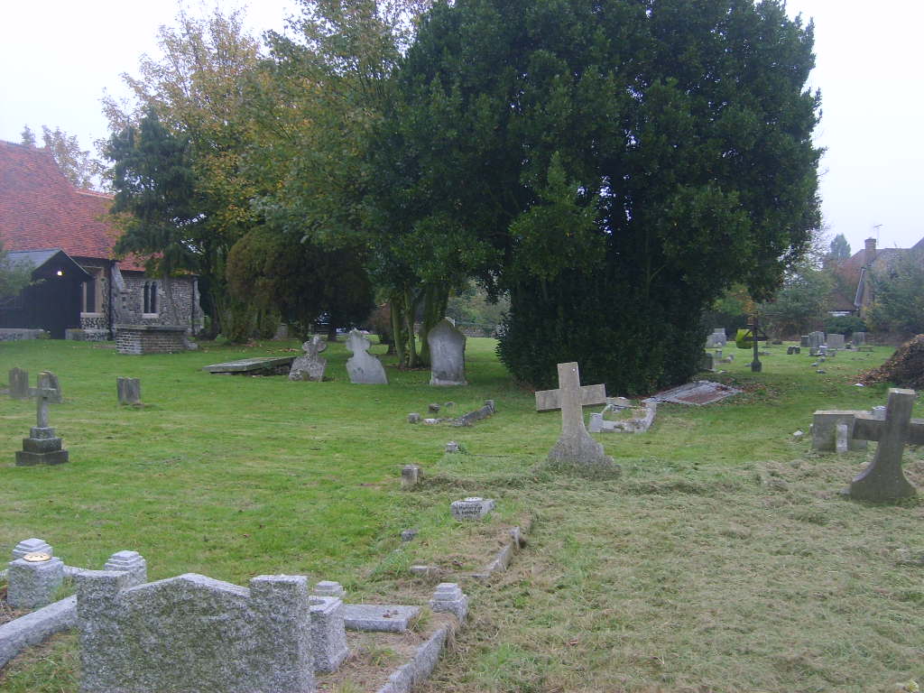
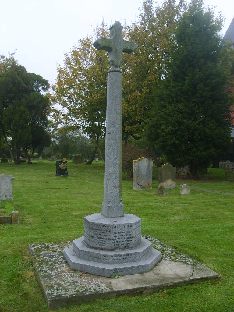
| Memorials | : | 121 |
| Location | : | Bulphan, Thurrock Unitary Authority, England |
| Coordinate | : | 51.5476280, 0.3591910 |
frequently asked questions (FAQ):
-
Where is St Mary the Virgin Churchyard?
St Mary the Virgin Churchyard is located at Bulphan, Thurrock Unitary Authority ,Essex ,England.
-
St Mary the Virgin Churchyard cemetery's updated grave count on graveviews.com?
121 memorials
-
Where are the coordinates of the St Mary the Virgin Churchyard?
Latitude: 51.5476280
Longitude: 0.3591910
Nearby Cemetories:
1. St Mary Churchyard Dunton Wayletts
Brentwood, Brentwood Borough, England
Coordinate: 51.5695480, 0.3850580
2. St Mary and All Saints Churchyard
Langdon Hills, Basildon District, England
Coordinate: 51.5511770, 0.4113210
3. All Saints Churchyard
East Horndon, Brentwood Borough, England
Coordinate: 51.5808500, 0.3591000
4. St. Giles and All Saints Churchyard
Orsett, Thurrock Unitary Authority, England
Coordinate: 51.5127200, 0.3683180
5. St Peter and St Paul Churchyard
Horndon-on-the-hill, Thurrock Unitary Authority, England
Coordinate: 51.5239220, 0.4048270
6. All Saints and Saint Faith Churchyard
Childerditch, Brentwood Borough, England
Coordinate: 51.5796560, 0.3278980
7. St. Peter Churchyard
Little Warley, Brentwood Borough, England
Coordinate: 51.5738020, 0.3138180
8. The Old Churchyard
Great Warley, Brentwood Borough, England
Coordinate: 51.5719550, 0.3023490
9. Cherry Orchard Congregational Church
South Ockendon, Thurrock Unitary Authority, England
Coordinate: 51.5241770, 0.2976050
10. South Ockendon Cemetery
South Ockendon, Thurrock Unitary Authority, England
Coordinate: 51.5226000, 0.2988650
11. St. Mary Magdalene Churchyard
North Ockendon, London Borough of Havering, England
Coordinate: 51.5404030, 0.2875930
12. St. Nicholas Churchyard
South Ockendon, Thurrock Unitary Authority, England
Coordinate: 51.5224830, 0.2976820
13. Herongate Wood Cemetery
Herongate, Brentwood Borough, England
Coordinate: 51.5959206, 0.3759600
14. St. Margaret's Churchyard
Stanford-le-Hope, Thurrock Unitary Authority, England
Coordinate: 51.5141520, 0.4260190
15. St Nicholas Churchyard
Laindon, Basildon District, England
Coordinate: 51.5792046, 0.4341750
16. St Nicholas Churchyard
Ingrave, Brentwood Borough, England
Coordinate: 51.6035800, 0.3425560
17. St Mary the Virgin Churchyard
Great Warley, Brentwood Borough, England
Coordinate: 51.5863490, 0.2920150
18. All Saints Churchyard
Cranham, London Borough of Havering, England
Coordinate: 51.5522750, 0.2660270
19. Stanford-le-Hope Cemetery
Stanford-le-Hope, Thurrock Unitary Authority, England
Coordinate: 51.5104870, 0.4313190
20. St Mary the Virgin Churchyard
Little Burstead, Basildon District, England
Coordinate: 51.5980180, 0.4074970
21. St John the Baptist Churchyard
Mucking, Thurrock Unitary Authority, England
Coordinate: 51.5044510, 0.4268880
22. Chadwell St Mary Cemetery
Chadwell St Mary, Thurrock Unitary Authority, England
Coordinate: 51.4858260, 0.3695060
23. Upminster Cemetery
Corbets Tey, London Borough of Havering, England
Coordinate: 51.5433330, 0.2592730
24. South Essex Crematorium
Upminster, London Borough of Havering, England
Coordinate: 51.5433380, 0.2583840