
| Memorials | : | 0 |
| Location | : | Hartfield, Wealden District, England |
| Coordinate | : | 51.1052470, 0.1091770 |
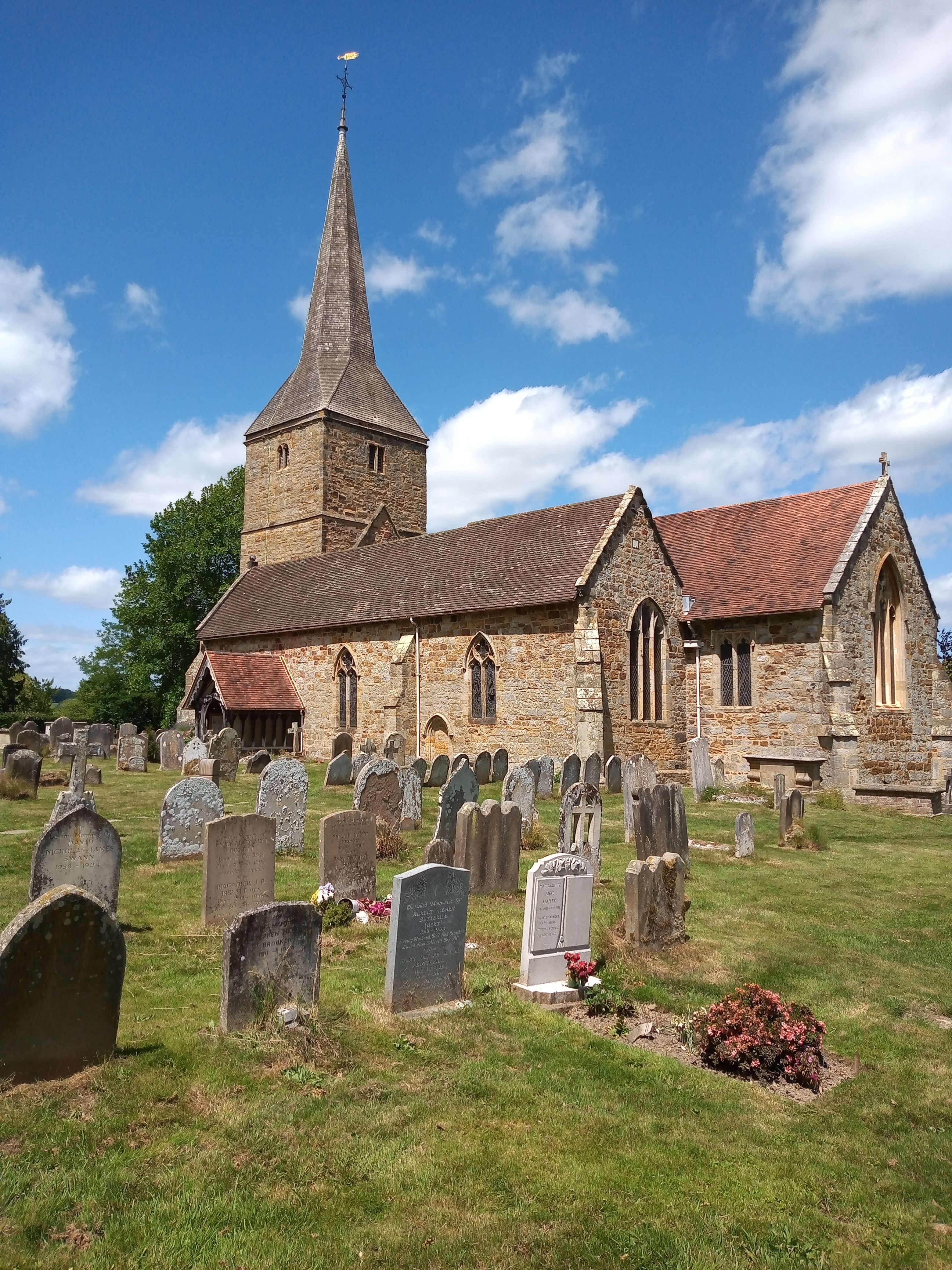
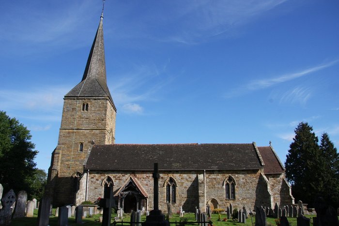
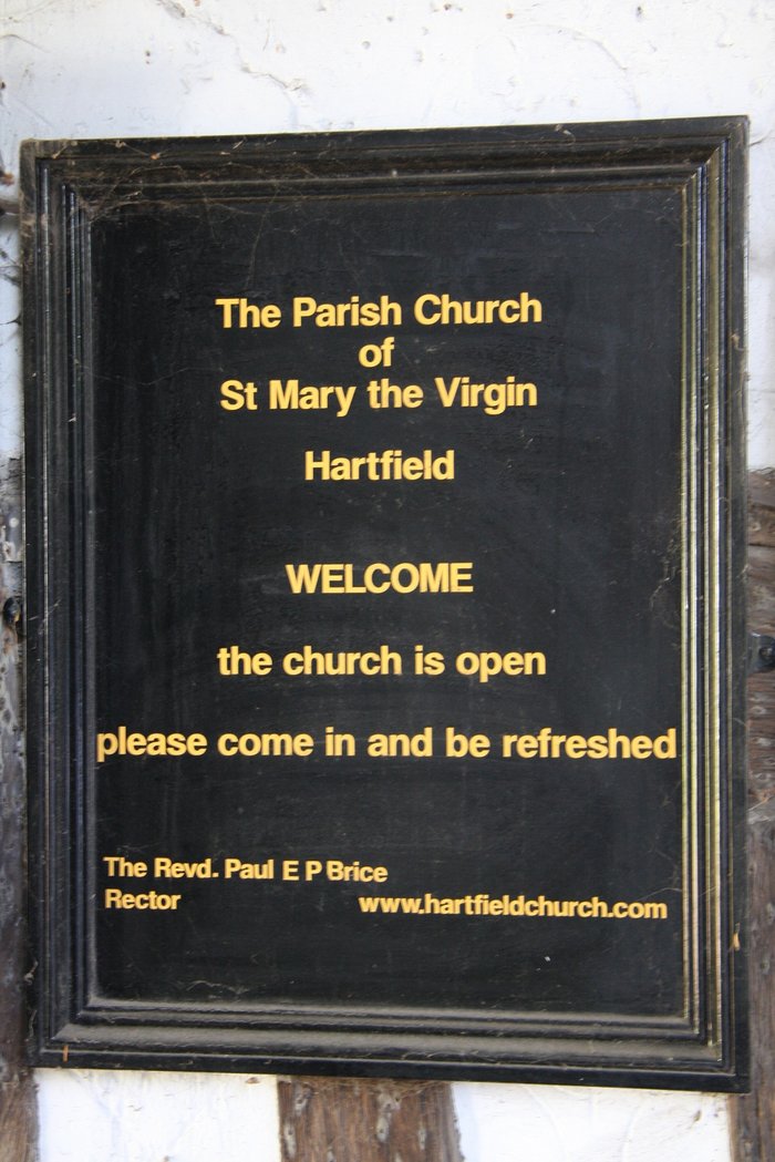
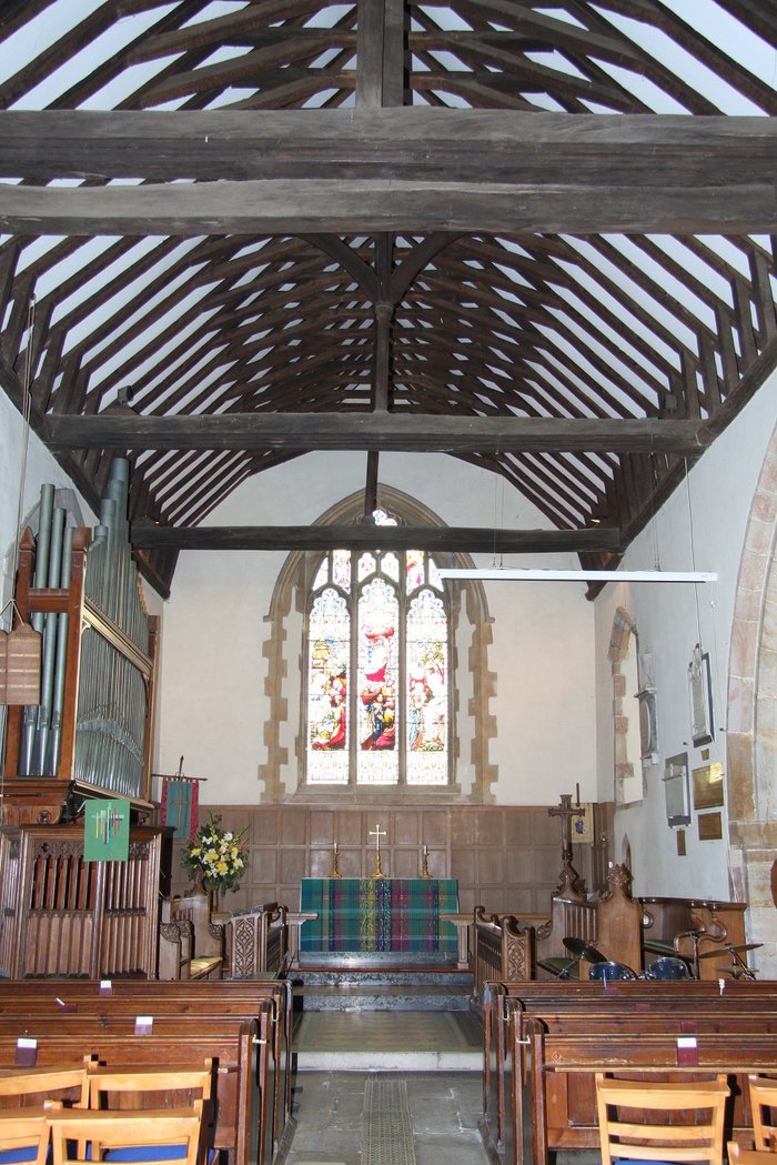
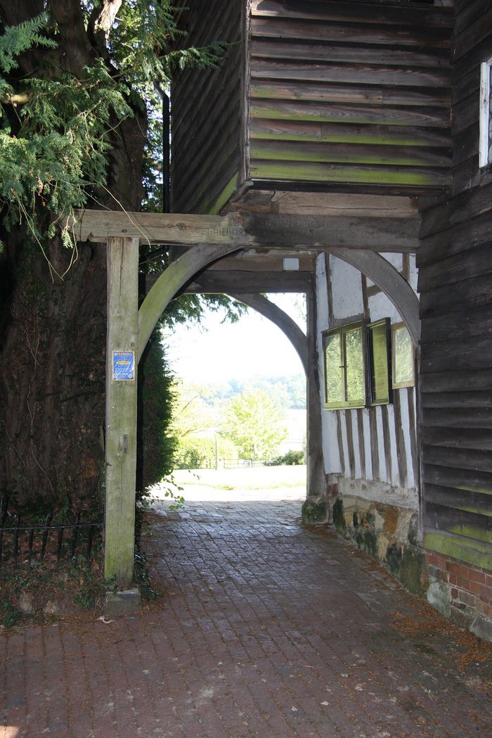
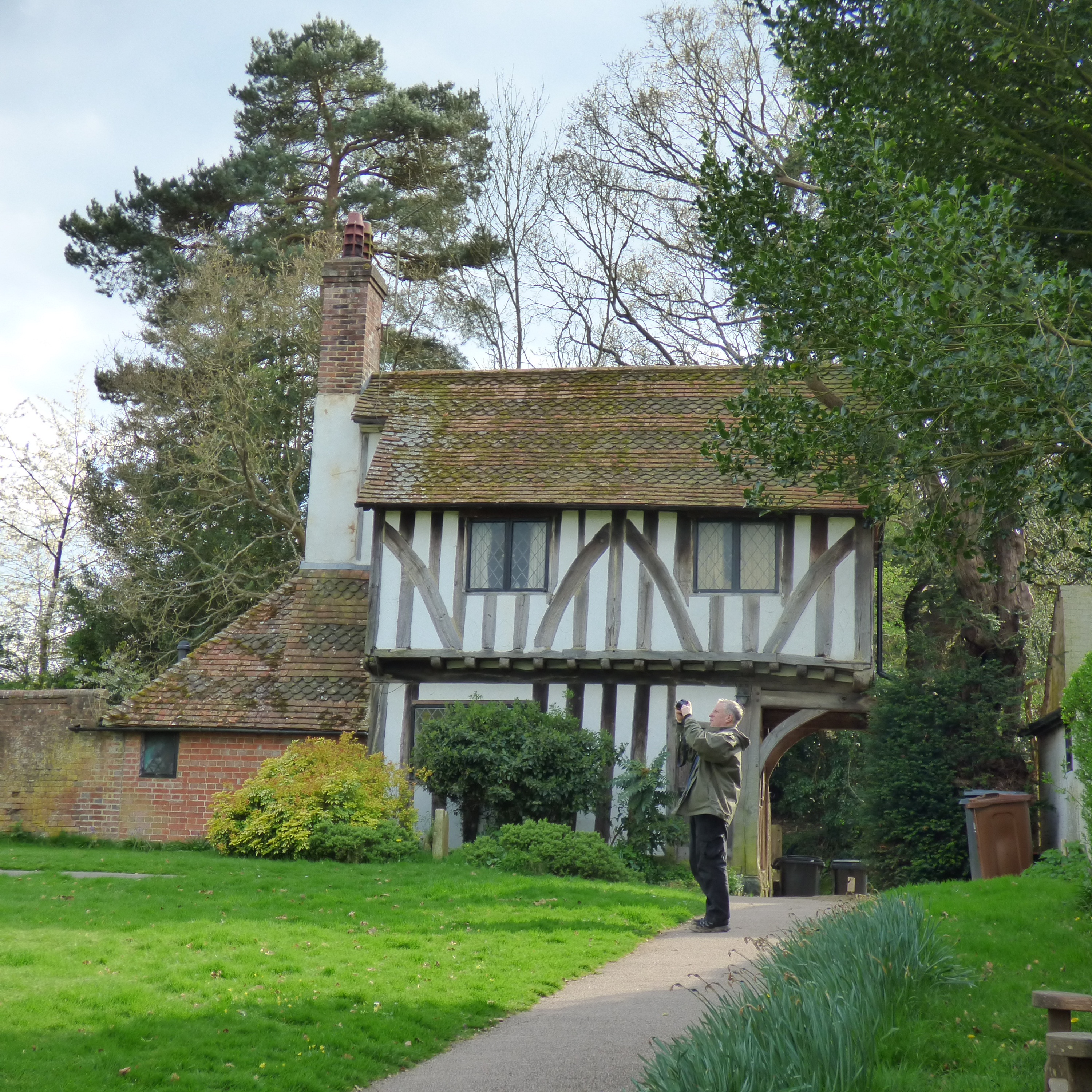
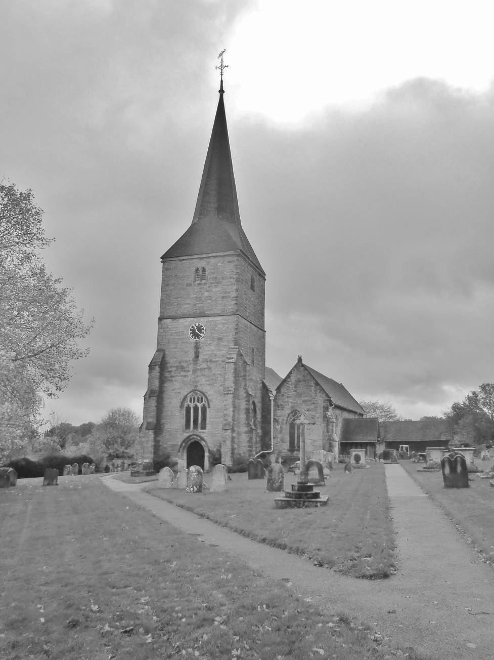
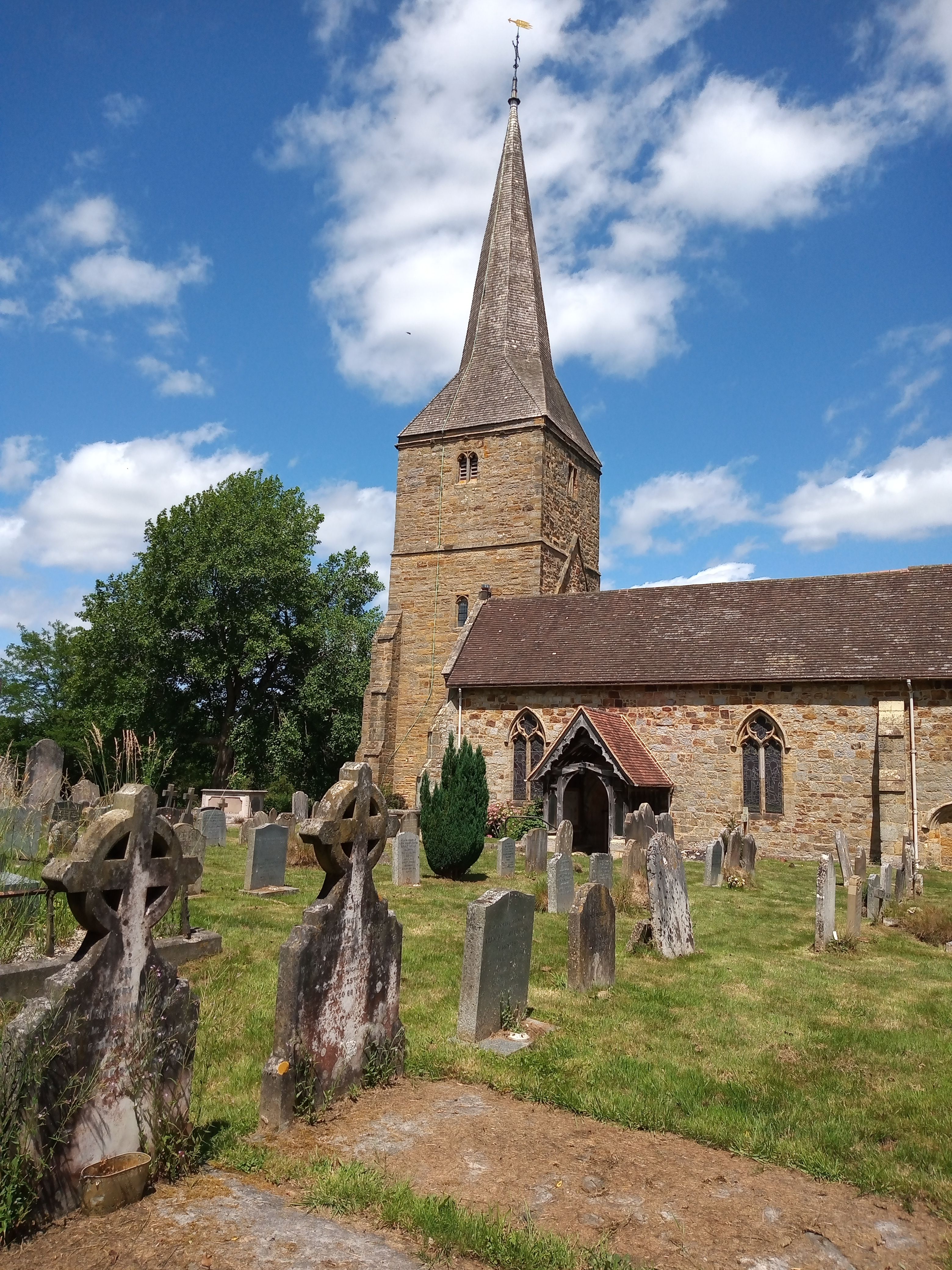
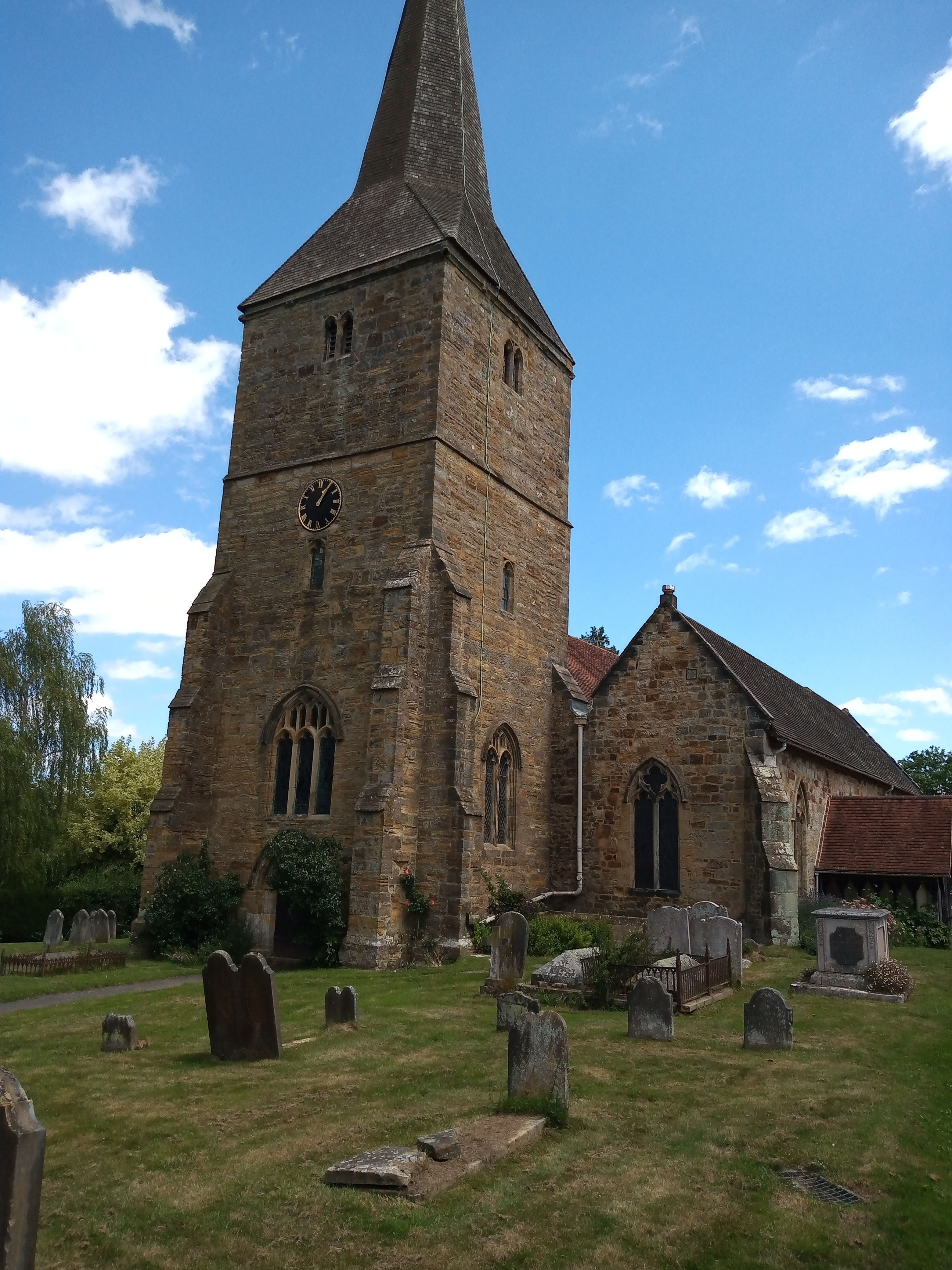
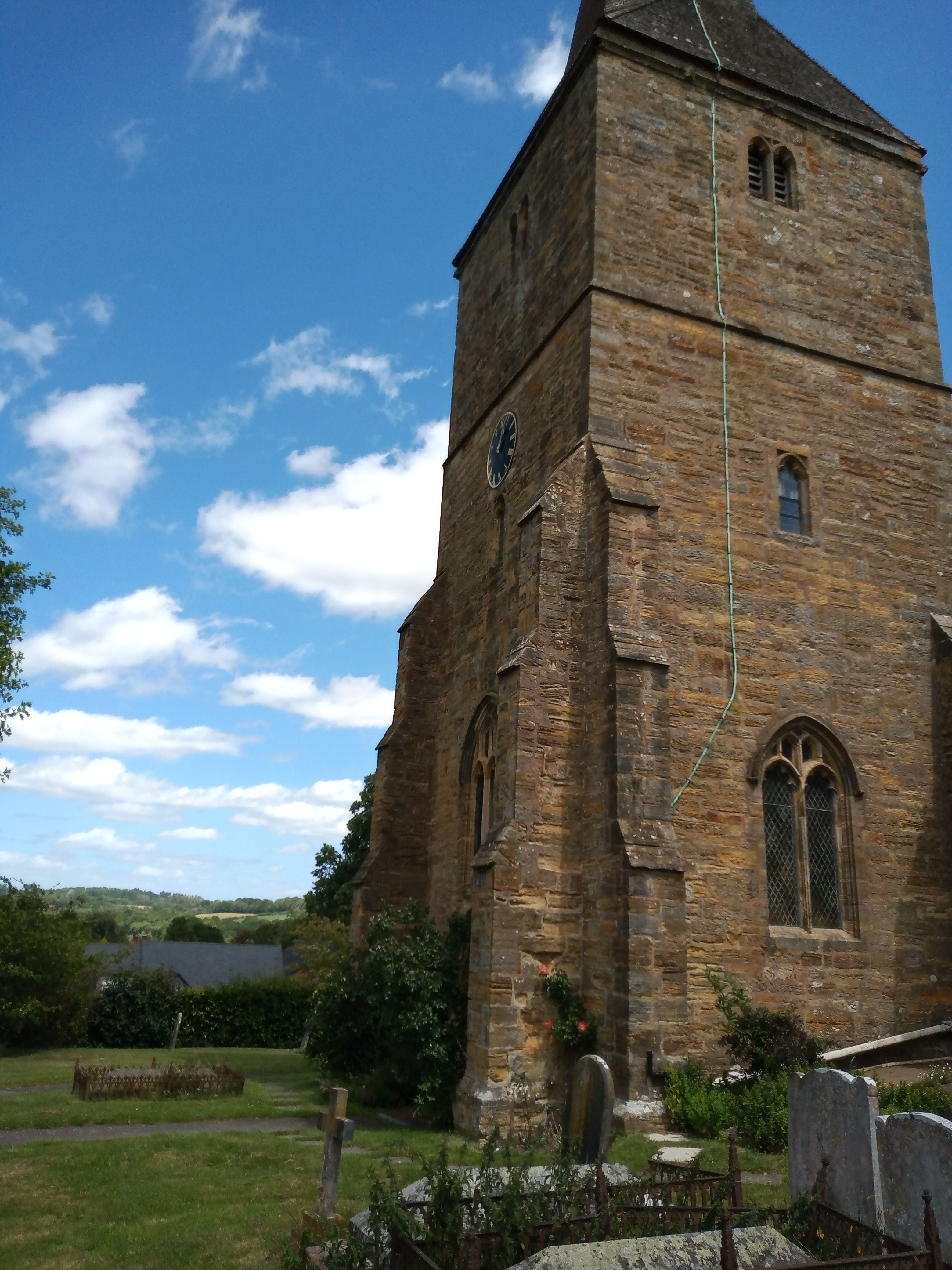
| Description | : | Hartfield is a civil parish in East Sussex, England. Settlements within the parish include the village of Hartfield, Colemans Hatch, Hammerwood and Holtye, all lying on the northern edge of Ashdown Forest.[text by wertypop] |
frequently asked questions (FAQ):
-
Where is St. Mary the Virgin Churchyard?
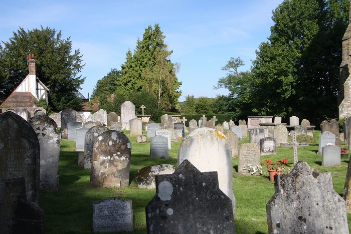
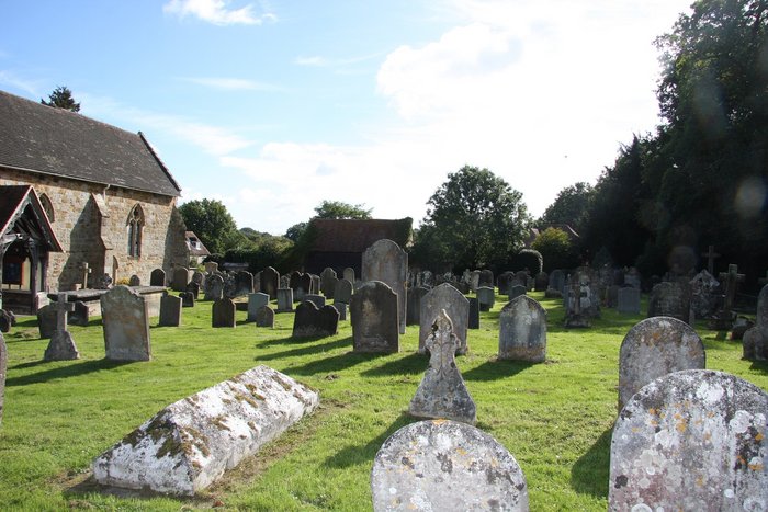
St. Mary the Virgin Churchyard is located at Church Street Hartfield, Wealden District ,East Sussex , TN7 4AGEngland.
-
St. Mary the Virgin Churchyard cemetery's updated grave count on graveviews.com?
0 memorials
-
Where are the coordinates of the St. Mary the Virgin Churchyard?
Latitude: 51.1052470
Longitude: 0.1091770
Nearby Cemetories:
1. St. Michael and All Angels Churchyard
Withyham, Wealden District, England
Coordinate: 51.0999580, 0.1322440
2. Holy Trinity Churchyard
Colemans Hatch, Wealden District, England
Coordinate: 51.0855810, 0.0693590
3. St. Peter's Churchyard
Holtye, Wealden District, England
Coordinate: 51.1338783, 0.0821108
4. St Martin of Tours Churchyard
Ashurst, Tunbridge Wells Borough, England
Coordinate: 51.1306560, 0.1590710
5. Cowden New Burial Ground
Cowden, Sevenoaks District, England
Coordinate: 51.1447210, 0.0958650
6. All Saints Churchyard
Blackham, Wealden District, England
Coordinate: 51.1411200, 0.1405600
7. Forest Fold Baptist Chapel
Crowborough, Wealden District, England
Coordinate: 51.0715790, 0.1531650
8. St. John the Evangelist Churchyard
Crowborough, Wealden District, England
Coordinate: 51.0656784, 0.1441483
9. Holy Trinity Churchyard
Forest Row, Wealden District, England
Coordinate: 51.0980712, 0.0330168
10. St John the Evangelist Churchyard
Groombridge, Wealden District, England
Coordinate: 51.1179771, 0.1854370
11. Forest Row Cemetery
Forest Row, Wealden District, England
Coordinate: 51.0965560, 0.0299760
12. St. Peter's Churchyard
Fordcombe, Sevenoaks District, England
Coordinate: 51.1422043, 0.1792730
13. Holy Trinity Churchyard
Markbeech, Sevenoaks District, England
Coordinate: 51.1651750, 0.1077720
14. All Saints Churchyard
Crowborough, Wealden District, England
Coordinate: 51.0550461, 0.1649020
15. All Saints Churchyard
Langton Green, Tunbridge Wells Borough, England
Coordinate: 51.1309738, 0.2022060
16. Crowborough Cemetery
Crowborough, Wealden District, England
Coordinate: 51.0472660, 0.1648910
17. Holy Trinity Churchyard
Eridge Green, Wealden District, England
Coordinate: 51.0989300, 0.2232190
18. All Souls Churchyard
Poundsbridge, Sevenoaks District, England
Coordinate: 51.1540700, 0.1961470
19. St. Swithun's Churchyard
East Grinstead, Mid Sussex District, England
Coordinate: 51.1240380, -0.0058020
20. Mount Noddy Cemetery
East Grinstead, Mid Sussex District, England
Coordinate: 51.1316231, -0.0066281
21. St Paul New Churchyard
Rusthall, Tunbridge Wells Borough, England
Coordinate: 51.1401520, 0.2204420
22. St Peter Churchyard
Hever, Sevenoaks District, England
Coordinate: 51.1838050, 0.1112430
23. Hever Castle Grounds
Hever, Sevenoaks District, England
Coordinate: 51.1843770, 0.1111220
24. St. James the Less Churchyard
Nutley, Wealden District, England
Coordinate: 51.0322640, 0.0548680