
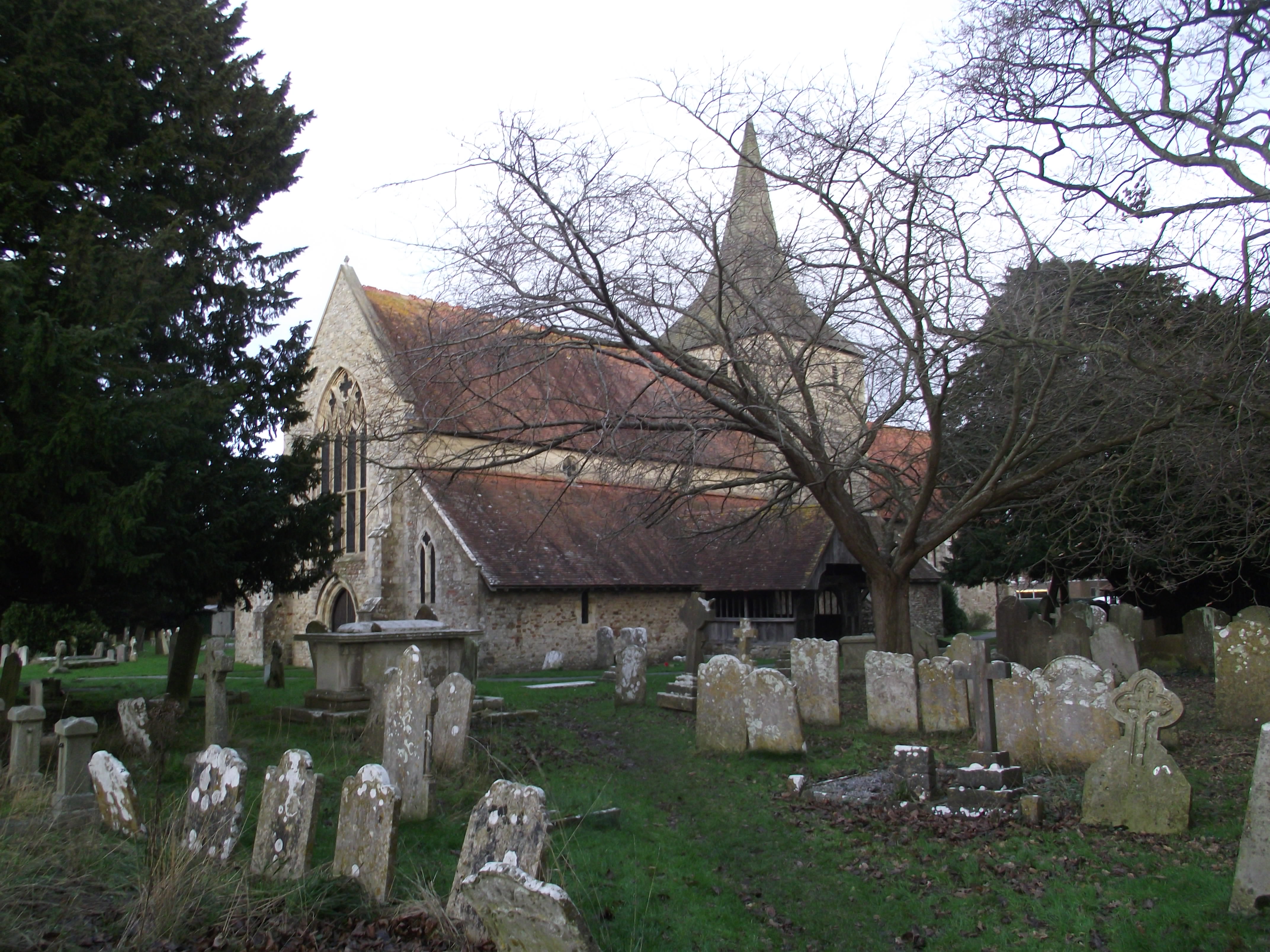
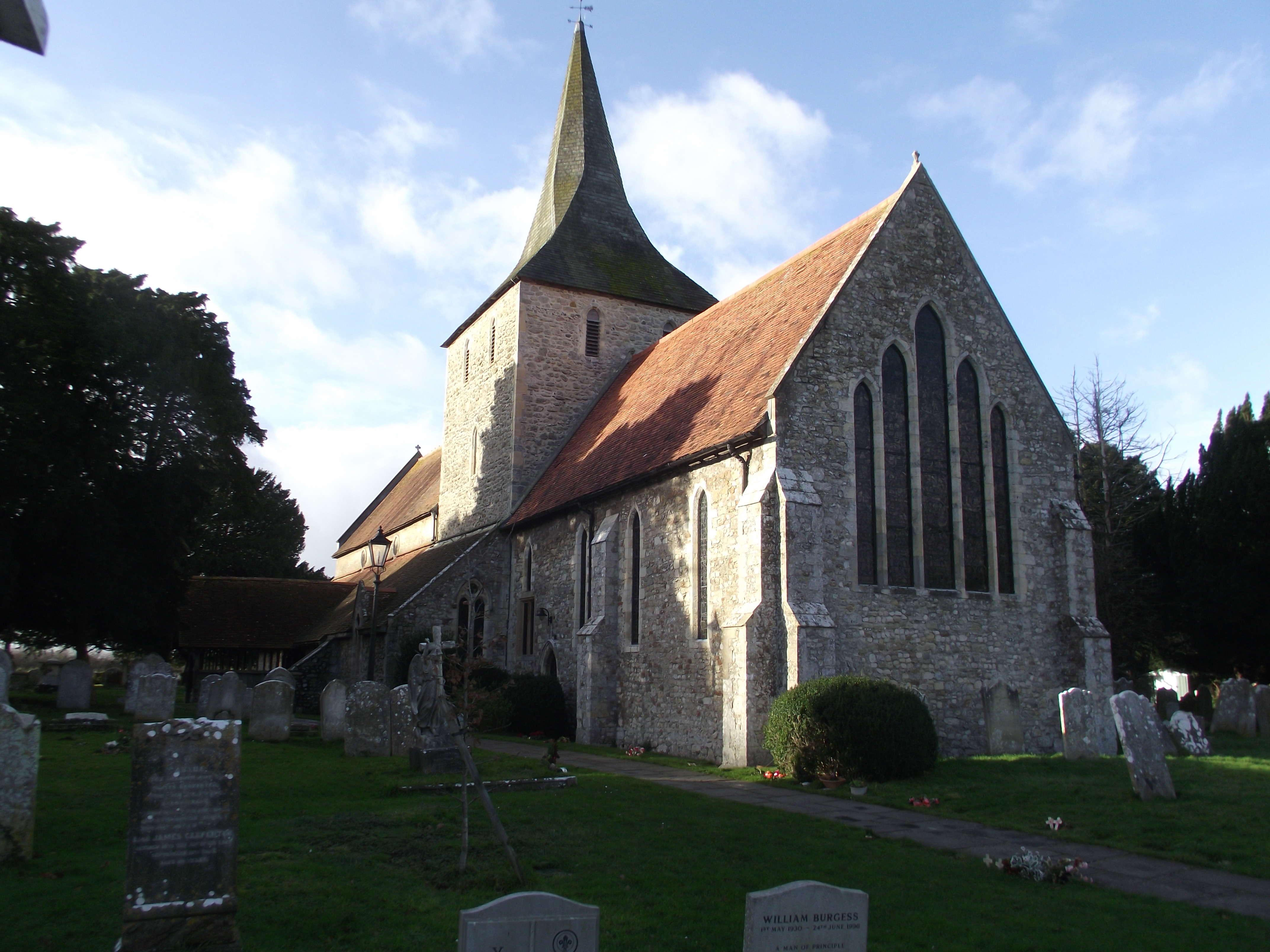
| Memorials | : | 156 |
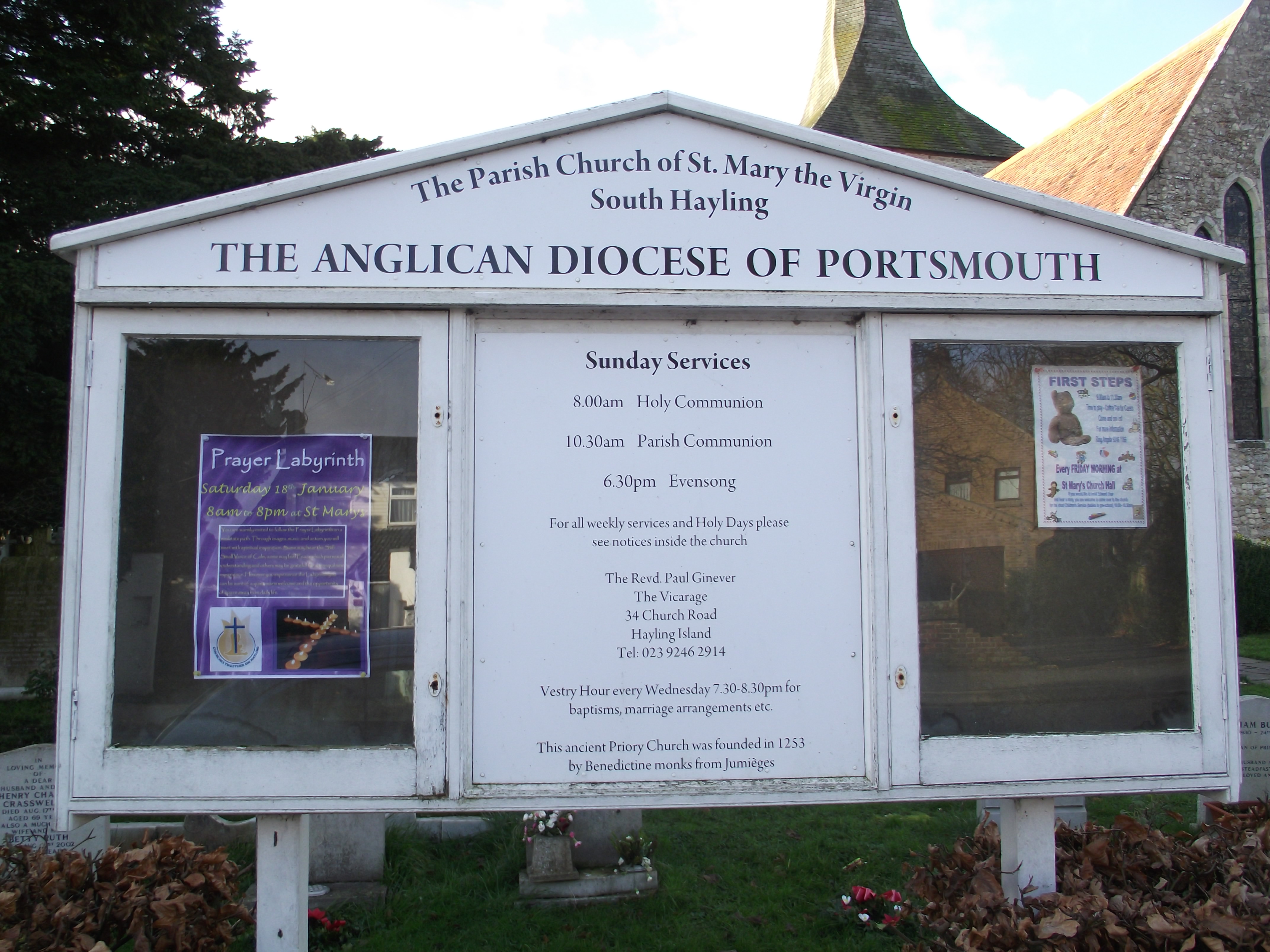
| Location | : | South Hayling, Havant Borough, England |
| Coordinate | : | 50.7954750, -0.9768230 |
frequently asked questions (FAQ):
-
Where is St Mary the Virgin Churchyard?
St Mary the Virgin Churchyard is located at 24 Church Road South Hayling, Havant Borough ,Hampshire , PO11 0NTEngland.
-
St Mary the Virgin Churchyard cemetery's updated grave count on graveviews.com?
156 memorials
-
Where are the coordinates of the St Mary the Virgin Churchyard?
Latitude: 50.7954750
Longitude: -0.9768230
Nearby Cemetories:
1. St Peter Churchyard
North Hayling, Havant Borough, England
Coordinate: 50.8237250, -0.9637940
2. Warblington Cemetery
Warblington, Havant Borough, England
Coordinate: 50.8431290, -0.9669690
3. St Thomas A Becket Churchyard
Warblington, Havant Borough, England
Coordinate: 50.8436920, -0.9660980
4. West Wittering Parish Churchyard
West Wittering, Chichester District, England
Coordinate: 50.7800200, -0.8992900
5. St James Churchyard
Eastney, Portsmouth Unitary Authority, England
Coordinate: 50.7940650, -1.0581150
6. Milton Cemetery
Portsmouth, Portsmouth Unitary Authority, England
Coordinate: 50.7988700, -1.0608030
7. St. Faith's Churchyard
Havant, Havant Borough, England
Coordinate: 50.8513550, -0.9819910
8. Highland Road Cemetery
Portsmouth, Portsmouth Unitary Authority, England
Coordinate: 50.7860500, -1.0671790
9. Kingston Cemetery
Portsmouth, Portsmouth Unitary Authority, England
Coordinate: 50.8031440, -1.0683260
10. St. James Churchyard
Emsworth, Havant Borough, England
Coordinate: 50.8489600, -0.9385900
11. New Lane Cemetery
Havant, Havant Borough, England
Coordinate: 50.8550670, -0.9753490
12. St. Thomas Churchyard
Bedhampton, Havant Borough, England
Coordinate: 50.8529400, -1.0032960
13. St. Andrew's Churchyard
Farlington, Portsmouth Unitary Authority, England
Coordinate: 50.8477200, -1.0274510
14. Old Jewish Cemetery
Portsmouth, Portsmouth Unitary Authority, England
Coordinate: 50.7887000, -1.0738800
15. St. Mary's Churchyard
Portsea, Portsmouth Unitary Authority, England
Coordinate: 50.8035350, -1.0763490
16. St Mary Churchyard
Chidham, Chichester District, England
Coordinate: 50.8294200, -0.8825800
17. St Nicholas Churchyard
West Itchenor, Chichester District, England
Coordinate: 50.7998570, -0.8665270
18. Mile End Cemetery
Portsea, Portsmouth Unitary Authority, England
Coordinate: 50.8108900, -1.0876400
19. HMS Victoria Monument
Portsmouth, Portsmouth Unitary Authority, England
Coordinate: 50.7997200, -1.0950800
20. Christ Church Portsdown Churchyard
Widley, City of Winchester, England
Coordinate: 50.8547300, -1.0507540
21. Portsmouth Naval Memorial
Portsmouth, Portsmouth Unitary Authority, England
Coordinate: 50.7824440, -1.0957720
22. Portsmouth Unitarian Church
Portsmouth, Portsmouth Unitary Authority, England
Coordinate: 50.7915640, -1.1011840
23. Royal Garrison Church Churchyard
Plymouth, Plymouth Unitary Authority, England
Coordinate: 50.7889690, -1.1039650
24. Royal Garrison Churchyard
Portsmouth, Portsmouth Unitary Authority, England
Coordinate: 50.7890180, -1.1040520