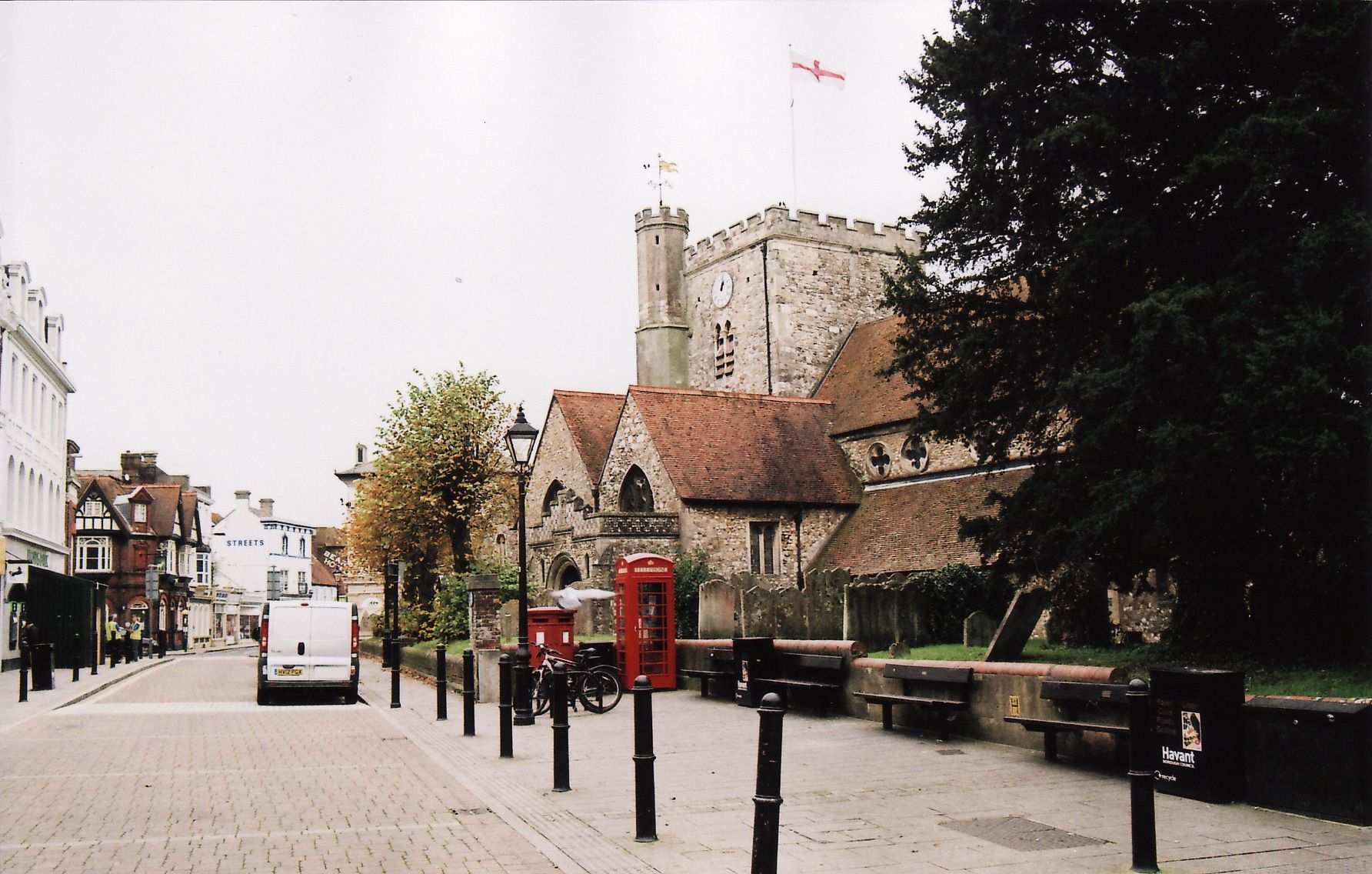
| Memorials | : | 44 |
| Location | : | Havant, Havant Borough, England |
| Coordinate | : | 50.8513550, -0.9819910 |
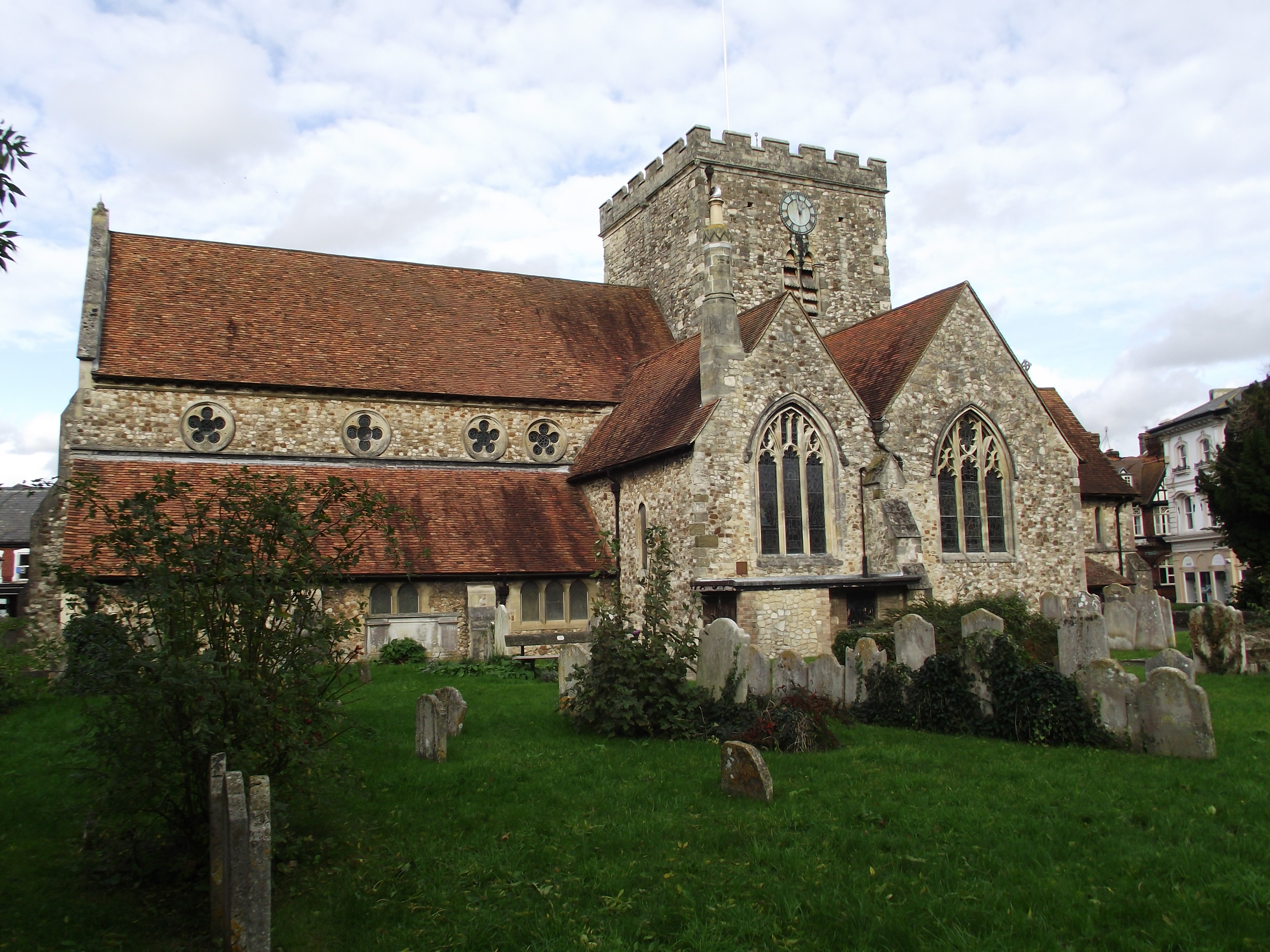
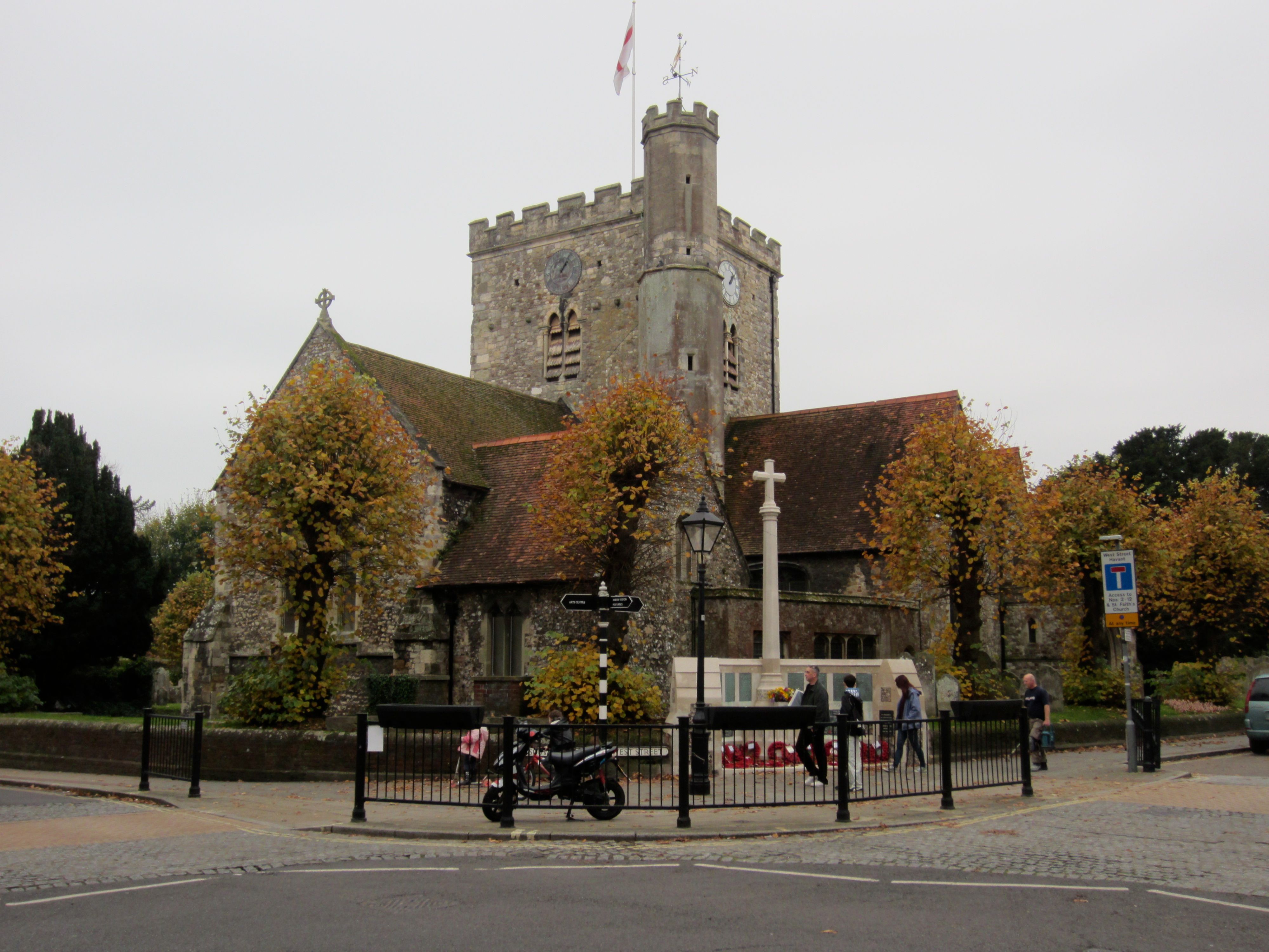
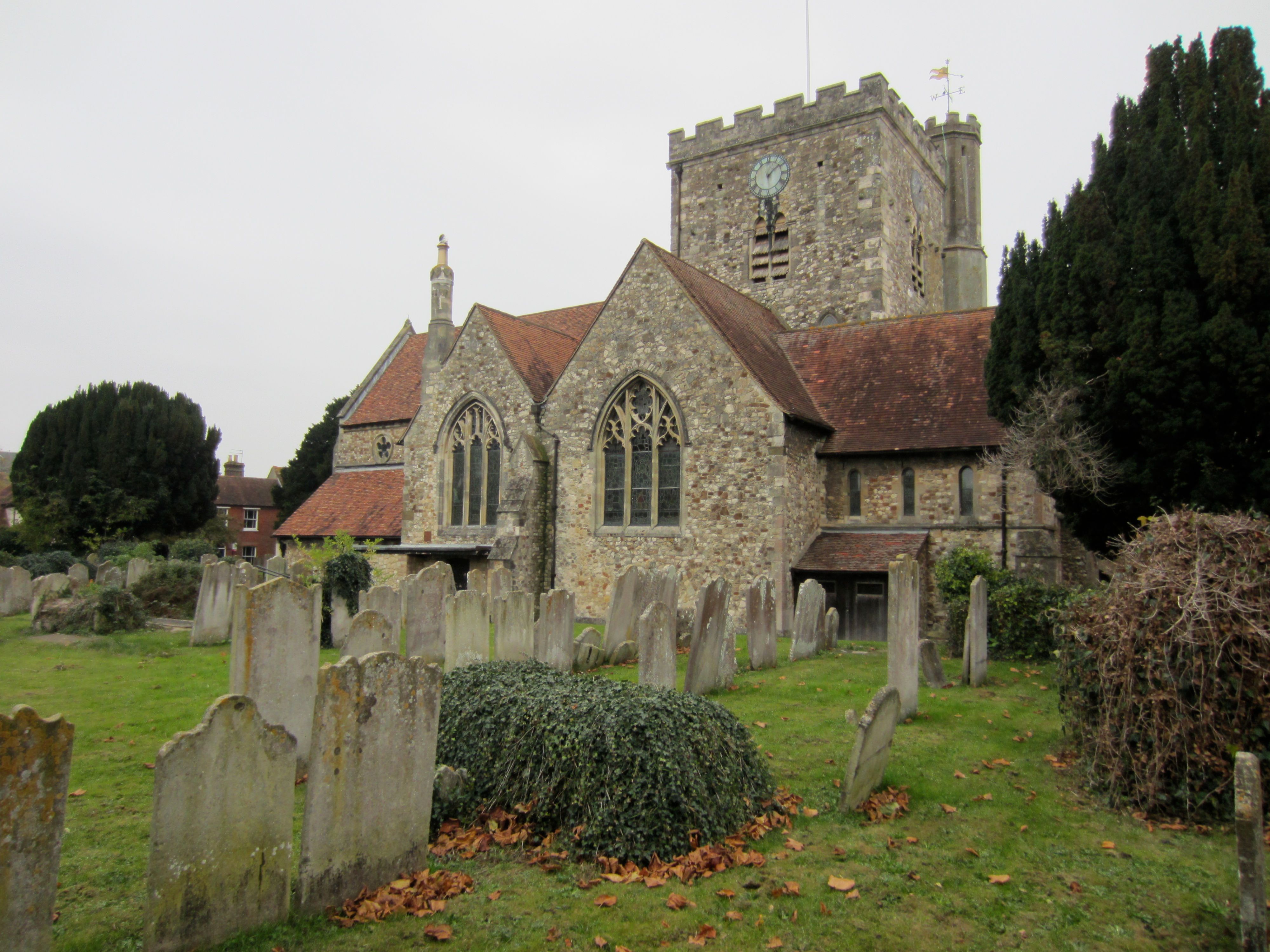
| Description | : | This Havant Cemetery is in the St Faiths Churchyard in the old centre of the town on a classic crossroad configuration, with the four streets being named North Street, East Street, South Street and West Street, and St Faith's church at the crossing. At least one axis (and evidence suggests both) is a known Roman road. There are several natural springs in the area, including one a short distance south-west of the church on West Street at the end of Homewell. |
frequently asked questions (FAQ):
-
Where is St. Faith's Churchyard?
St. Faith's Churchyard is located at West Street Havant, Havant Borough ,Hampshire , PO9 1LDEngland.
-
St. Faith's Churchyard cemetery's updated grave count on graveviews.com?
44 memorials
-
Where are the coordinates of the St. Faith's Churchyard?
Latitude: 50.8513550
Longitude: -0.9819910
Nearby Cemetories:
1. New Lane Cemetery
Havant, Havant Borough, England
Coordinate: 50.8550670, -0.9753490
2. Warblington Cemetery
Warblington, Havant Borough, England
Coordinate: 50.8431290, -0.9669690
3. St Thomas A Becket Churchyard
Warblington, Havant Borough, England
Coordinate: 50.8436920, -0.9660980
4. St. Thomas Churchyard
Bedhampton, Havant Borough, England
Coordinate: 50.8529400, -1.0032960
5. St. James Churchyard
Emsworth, Havant Borough, England
Coordinate: 50.8489600, -0.9385900
6. St. Andrew's Churchyard
Farlington, Portsmouth Unitary Authority, England
Coordinate: 50.8477200, -1.0274510
7. St Peter Churchyard
North Hayling, Havant Borough, England
Coordinate: 50.8237250, -0.9637940
8. St John the Baptist Churchyard
Rowlands Castle, East Hampshire District, England
Coordinate: 50.8848500, -0.9695200
9. Waterlooville Cemetery
Waterlooville, Havant Borough, England
Coordinate: 50.8802800, -1.0246400
10. St John the Baptist Churchyard
Purbrook, Havant Borough, England
Coordinate: 50.8678210, -1.0447060
11. St. George the Martyr Churchyard
Waterlooville, Havant Borough, England
Coordinate: 50.8804060, -1.0328690
12. Christ Church Portsdown Churchyard
Widley, City of Winchester, England
Coordinate: 50.8547300, -1.0507540
13. St Mary Magdalene Churchyard
Widley, City of Winchester, England
Coordinate: 50.8623650, -1.0642640
14. St Mary the Virgin Churchyard
South Hayling, Havant Borough, England
Coordinate: 50.7954750, -0.9768230
15. St Peter and St Paul Churchyard
Wymering, Portsmouth Unitary Authority, England
Coordinate: 50.8457490, -1.0777170
16. St Peter's Church Raction
Bosham, Chichester District, England
Coordinate: 50.8771050, -0.8931000
17. Holy Trinity Churchyard
Blendworth, East Hampshire District, England
Coordinate: 50.9170620, -0.9895780
18. St Mary Churchyard
Chidham, Chichester District, England
Coordinate: 50.8294200, -0.8825800
19. Milton Cemetery
Portsmouth, Portsmouth Unitary Authority, England
Coordinate: 50.7988700, -1.0608030
20. Kingston Cemetery
Portsmouth, Portsmouth Unitary Authority, England
Coordinate: 50.8031440, -1.0683260
21. St Hubert Churchyard
Finchdean, East Hampshire District, England
Coordinate: 50.9213100, -0.9445500
22. St James Churchyard
Eastney, Portsmouth Unitary Authority, England
Coordinate: 50.7940650, -1.0581150
23. Denmead Burial Ground
Denmead, City of Winchester, England
Coordinate: 50.9057570, -1.0662400
24. St. Mary's Churchyard
Portsea, Portsmouth Unitary Authority, England
Coordinate: 50.8035350, -1.0763490

