
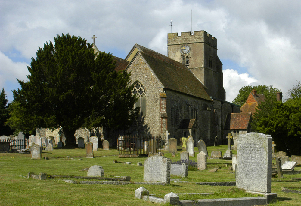
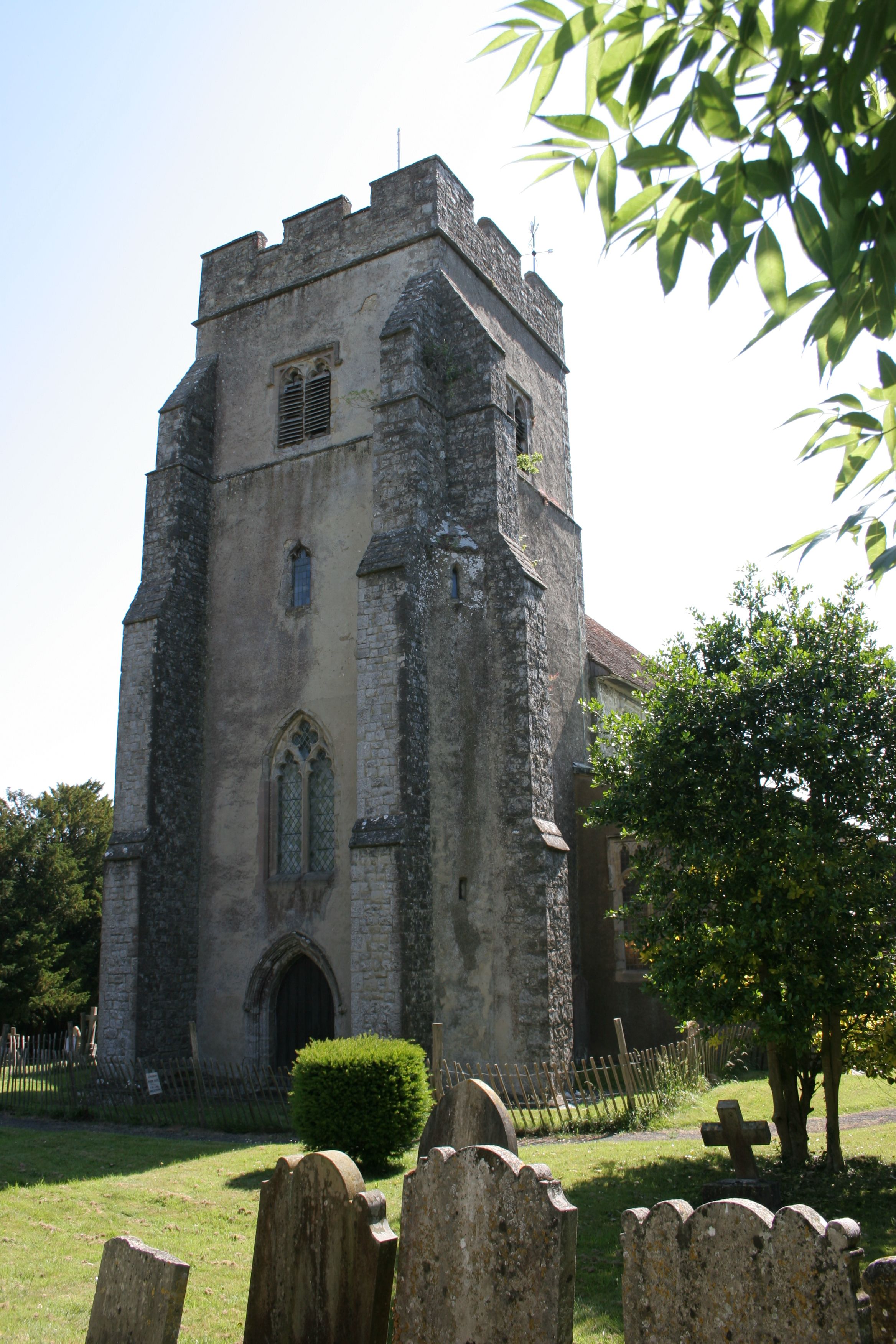
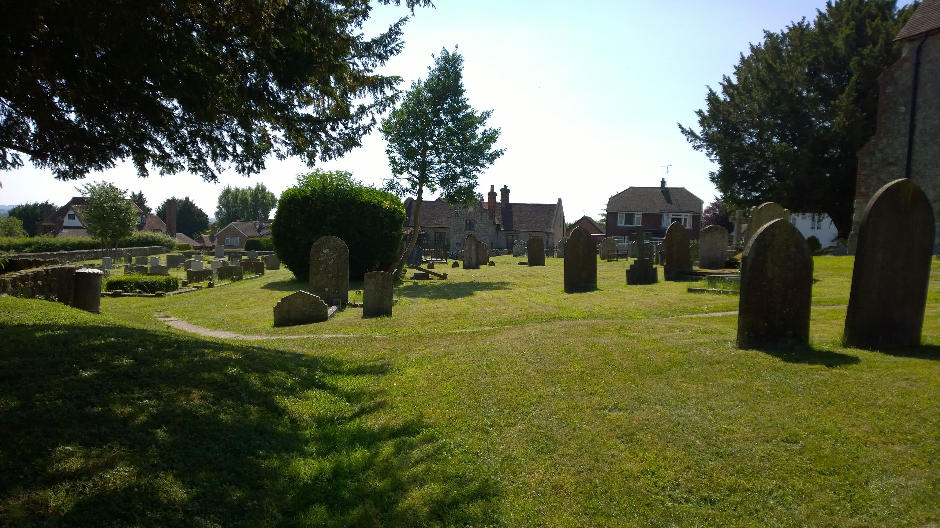
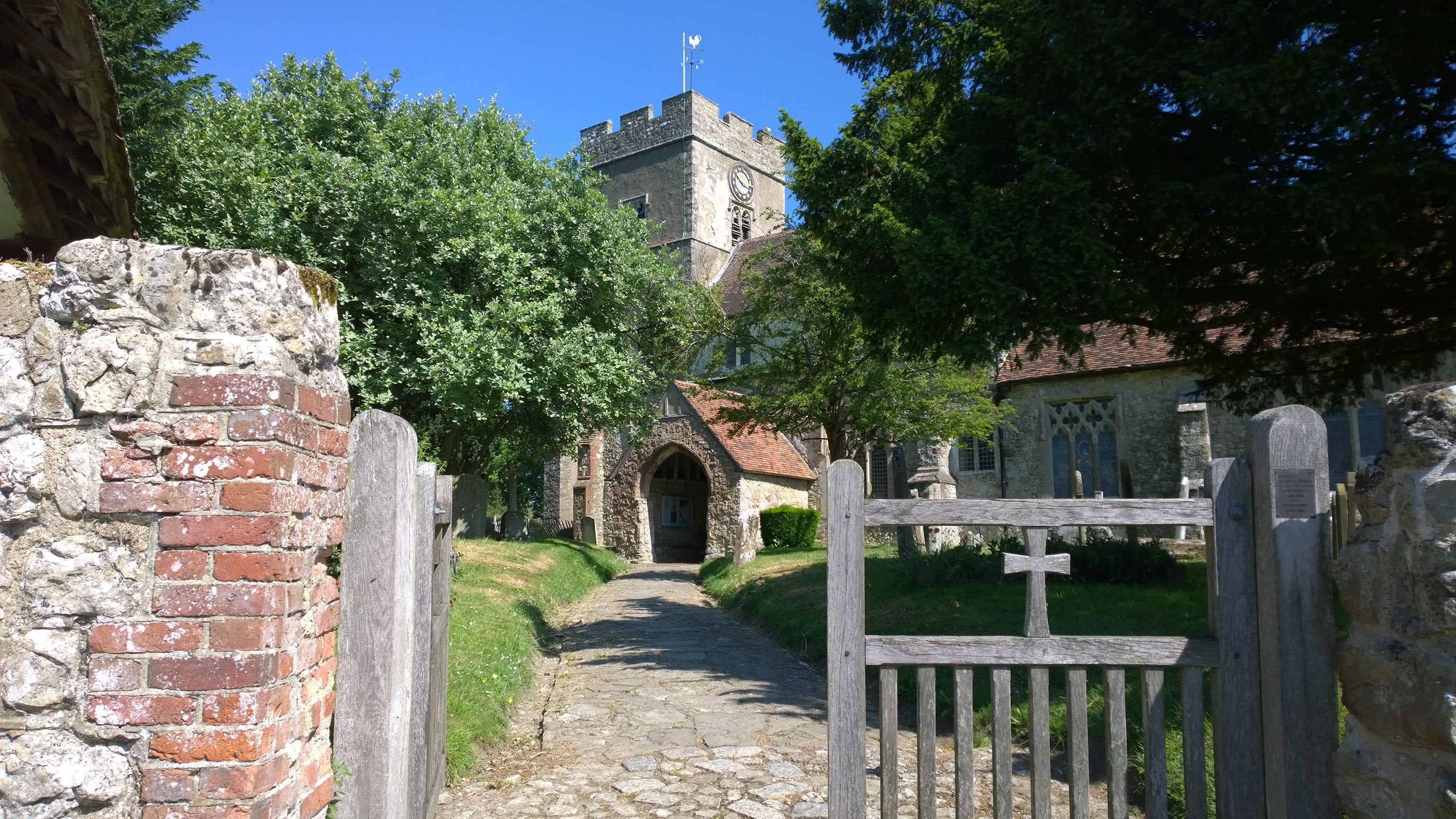
| Memorials | : | 317 |
| Location | : | Great Chart, Ashford Borough, England |
| Coordinate | : | 51.1422350, 0.8285800 |
frequently asked questions (FAQ):
-
Where is St. Mary the Virgin Churchyard?
St. Mary the Virgin Churchyard is located at Great Chart, Ashford Borough ,Kent ,England.
-
St. Mary the Virgin Churchyard cemetery's updated grave count on graveviews.com?
20 memorials
-
Where are the coordinates of the St. Mary the Virgin Churchyard?
Latitude: 51.1422350
Longitude: 0.8285800
Nearby Cemetories:
1. Church of St. Margaret
Hothfield, Ashford Borough, England
Coordinate: 51.1661000, 0.8158000
2. Ashford War Memorial
Ashford, Ashford Borough, England
Coordinate: 51.1469400, 0.8732390
3. St Mary the Virgin Church
Ashford, Ashford Borough, England
Coordinate: 51.1488270, 0.8728790
4. Ashford Cemetery
Ashford, Ashford Borough, England
Coordinate: 51.1534550, 0.8756450
5. Bybrook Cemetery
Ashford, Ashford Borough, England
Coordinate: 51.1590520, 0.8782920
6. Ss Peter & Paul Churchyard
Shadoxhurst, Ashford Borough, England
Coordinate: 51.1044850, 0.8144740
7. Willesborough Cemetery
Willesborough, Ashford Borough, England
Coordinate: 51.1396490, 0.8984650
8. St. Mary the Virgin Churchyard
Willesborough, Ashford Borough, England
Coordinate: 51.1370700, 0.8992180
9. St. Mary's Churchyard
Kennington, Ashford Borough, England
Coordinate: 51.1699560, 0.8911560
10. St. Margaret's Churchyard
Bethersden, Ashford Borough, England
Coordinate: 51.1291440, 0.7538760
11. Westwell Burial Ground
Westwell, Ashford Borough, England
Coordinate: 51.1900100, 0.8434000
12. St Mary Churchyard
Westwell, Ashford Borough, England
Coordinate: 51.1919020, 0.8473350
13. St. Mary's Churchyard
Sevington, Ashford Borough, England
Coordinate: 51.1309040, 0.9100730
14. St. Nicholas' Churchyard
Pluckley, Ashford Borough, England
Coordinate: 51.1749440, 0.7548470
15. St. Mary's Churchyard
Hinxhill, Ashford Borough, England
Coordinate: 51.1460676, 0.9277093
16. Kent County Crematorium
Charing, Ashford Borough, England
Coordinate: 51.2026560, 0.8006770
17. St Mary the Virgin Churchyard
Orlestone, Ashford Borough, England
Coordinate: 51.0767000, 0.8539000
18. St. John The Baptist Churchyard
Mersham, Ashford Borough, England
Coordinate: 51.1168720, 0.9312840
19. St. Peter and St. Paul Churchyard
Charing, Ashford Borough, England
Coordinate: 51.2102230, 0.7966500
20. All Saints Churchyard
Woodchurch, Ashford Borough, England
Coordinate: 51.0807110, 0.7709980
21. St Cosmas and St Damian Churchyard
Challock, Ashford Borough, England
Coordinate: 51.2065340, 0.8781660
22. Charing Cemetery
Charing, Ashford Borough, England
Coordinate: 51.2120247, 0.7922290
23. All Saints Churchyard
Boughton Aluph, Ashford Borough, England
Coordinate: 51.1963280, 0.9086490
24. St. Gregory and St. Martin Churchyard
Wye, Ashford Borough, England
Coordinate: 51.1844260, 0.9377100