
| Memorials | : | 303 |
| Location | : | Hothfield, Ashford Borough, England |
| Coordinate | : | 51.1661000, 0.8158000 |
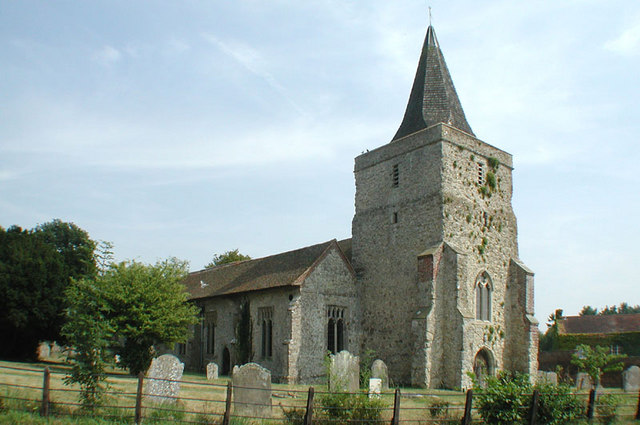
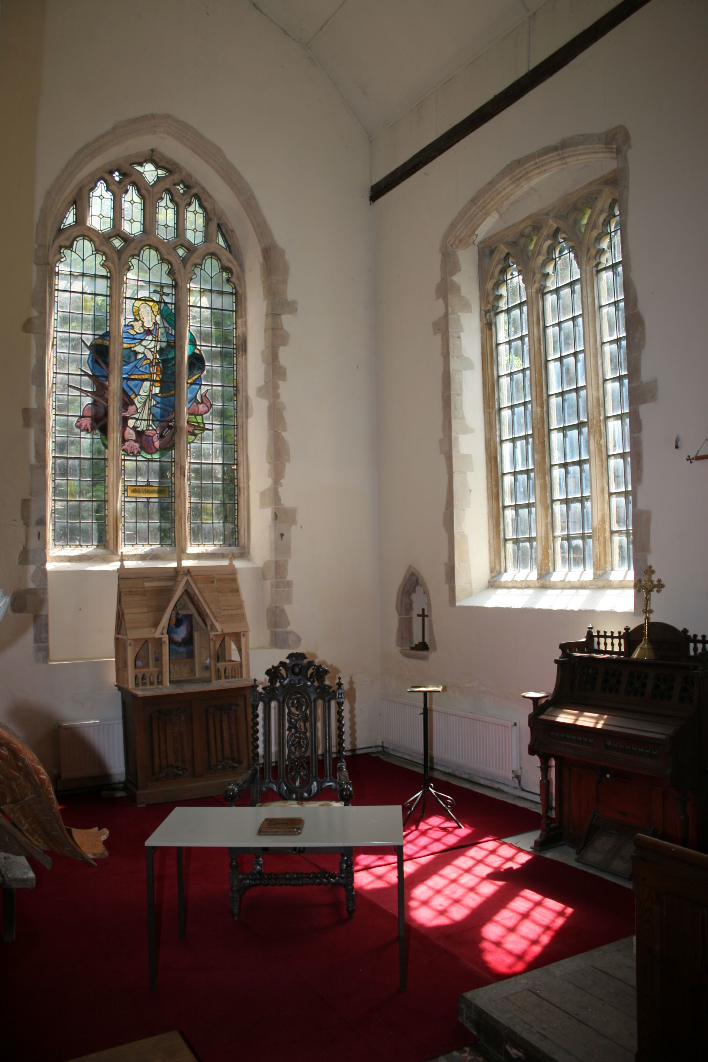
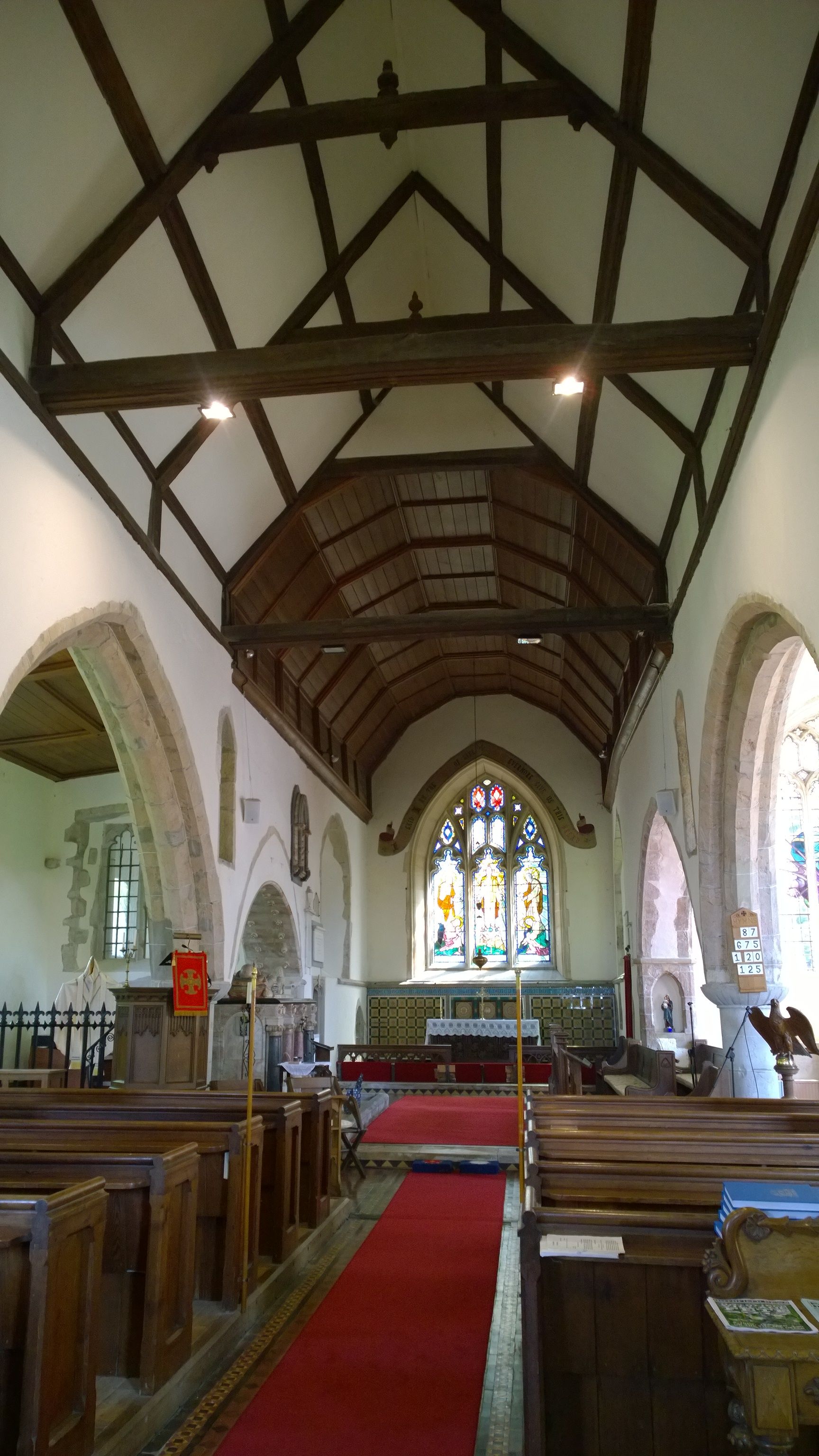
| Description | : | This Grade I listed church was built of Kentish ragstone. The chancel has a north and south chapel and a three-bay nave, with aisles. The west tower has a shingled spire. There are no arches separating the chancel from the nave The building contained mediaeval work of several periods but was badly damaged by lightning in the late 16th or early 17th century and was rebuilt by Sir John Tufton, who died in 1642 and is buried in the church The north and south chapels were added in 1876, when the whole church was restored "The Lost Chord" was composed and... Read More |
frequently asked questions (FAQ):
-
Where is Church of St. Margaret?
Church of St. Margaret is located at 12 The Street (off Bethersden Road) Hothfield, Ashford Borough ,Kent , TN26 1ELEngland.
-
Church of St. Margaret cemetery's updated grave count on graveviews.com?
0 memorials
-
Where are the coordinates of the Church of St. Margaret?
Latitude: 51.1661000
Longitude: 0.8158000
Nearby Cemetories:
1. St. Mary the Virgin Churchyard
Great Chart, Ashford Borough, England
Coordinate: 51.1422350, 0.8285800
2. Westwell Burial Ground
Westwell, Ashford Borough, England
Coordinate: 51.1900100, 0.8434000
3. St Mary Churchyard
Westwell, Ashford Borough, England
Coordinate: 51.1919020, 0.8473350
4. Kent County Crematorium
Charing, Ashford Borough, England
Coordinate: 51.2026560, 0.8006770
5. St. Nicholas' Churchyard
Pluckley, Ashford Borough, England
Coordinate: 51.1749440, 0.7548470
6. Ashford Cemetery
Ashford, Ashford Borough, England
Coordinate: 51.1534550, 0.8756450
7. St Mary the Virgin Church
Ashford, Ashford Borough, England
Coordinate: 51.1488270, 0.8728790
8. Bybrook Cemetery
Ashford, Ashford Borough, England
Coordinate: 51.1590520, 0.8782920
9. Ashford War Memorial
Ashford, Ashford Borough, England
Coordinate: 51.1469400, 0.8732390
10. St. Peter and St. Paul Churchyard
Charing, Ashford Borough, England
Coordinate: 51.2102230, 0.7966500
11. St. Mary's Churchyard
Kennington, Ashford Borough, England
Coordinate: 51.1699560, 0.8911560
12. Charing Cemetery
Charing, Ashford Borough, England
Coordinate: 51.2120247, 0.7922290
13. St. Margaret's Churchyard
Bethersden, Ashford Borough, England
Coordinate: 51.1291440, 0.7538760
14. St Cosmas and St Damian Churchyard
Challock, Ashford Borough, England
Coordinate: 51.2065340, 0.8781660
15. Willesborough Cemetery
Willesborough, Ashford Borough, England
Coordinate: 51.1396490, 0.8984650
16. St. Mary the Virgin Churchyard
Willesborough, Ashford Borough, England
Coordinate: 51.1370700, 0.8992180
17. Holy Trinity Churchyard
Charing Heath, Ashford Borough, England
Coordinate: 51.2117420, 0.7510860
18. St. James Churchyard
Egerton, Ashford Borough, England
Coordinate: 51.1953860, 0.7295170
19. Ss Peter & Paul Churchyard
Shadoxhurst, Ashford Borough, England
Coordinate: 51.1044850, 0.8144740
20. All Saints Churchyard
Boughton Aluph, Ashford Borough, England
Coordinate: 51.1963280, 0.9086490
21. St. Mary's Churchyard
Sevington, Ashford Borough, England
Coordinate: 51.1309040, 0.9100730
22. St. Mary's Churchyard
Stalisfield, Swale Borough, England
Coordinate: 51.2371410, 0.8169790
23. Egerton Free Church Graveyard
Egerton, Ashford Borough, England
Coordinate: 51.1871830, 0.7050080
24. St. Mary's Churchyard
Hinxhill, Ashford Borough, England
Coordinate: 51.1460676, 0.9277093