
| Memorials | : | 111 |
| Location | : | Stelling Minnis, Shepway District, England |
| Coordinate | : | 51.1963830, 1.0644830 |
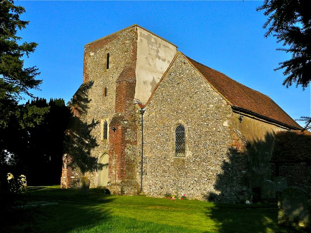
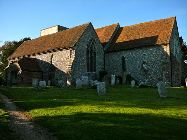
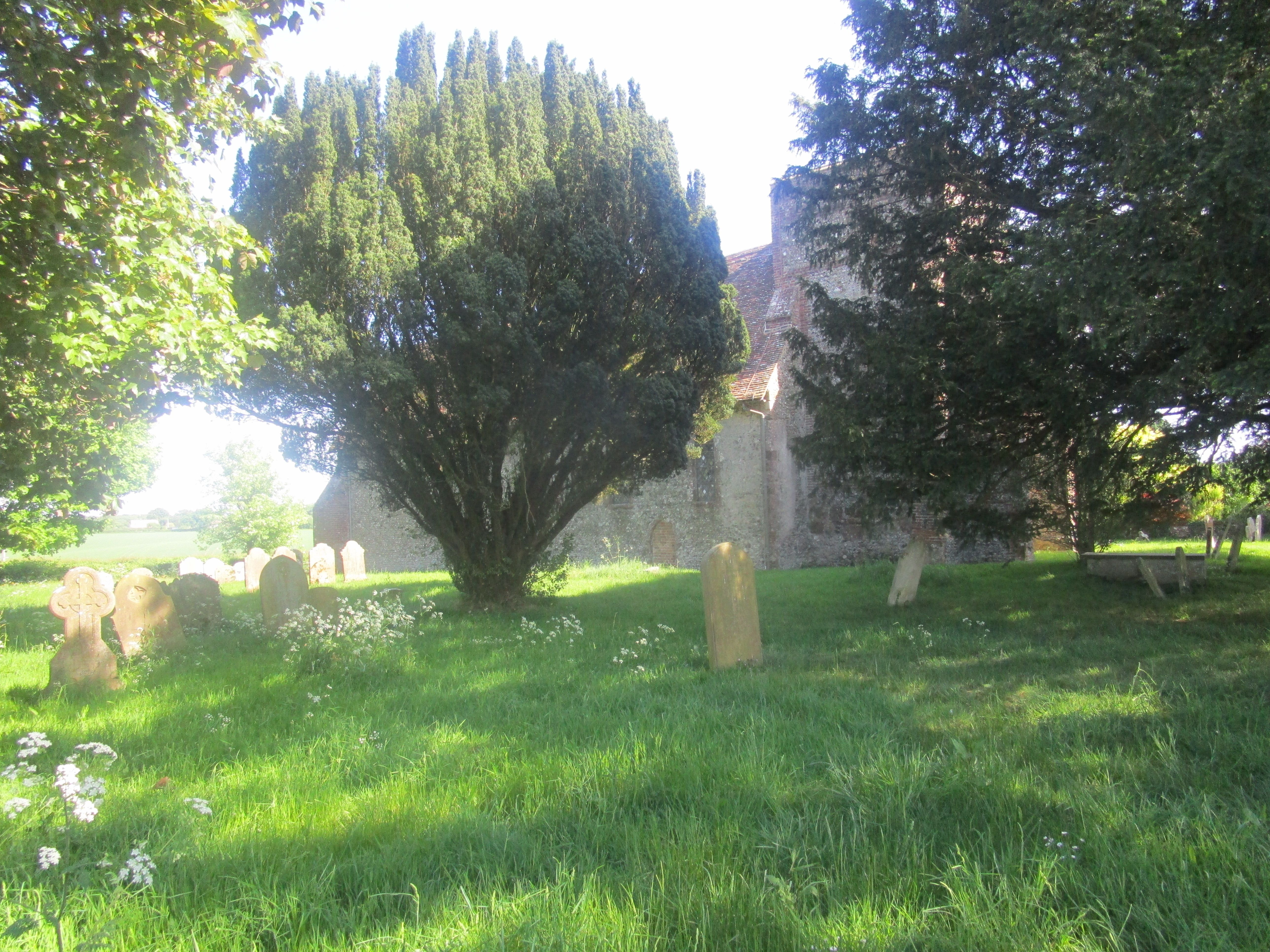
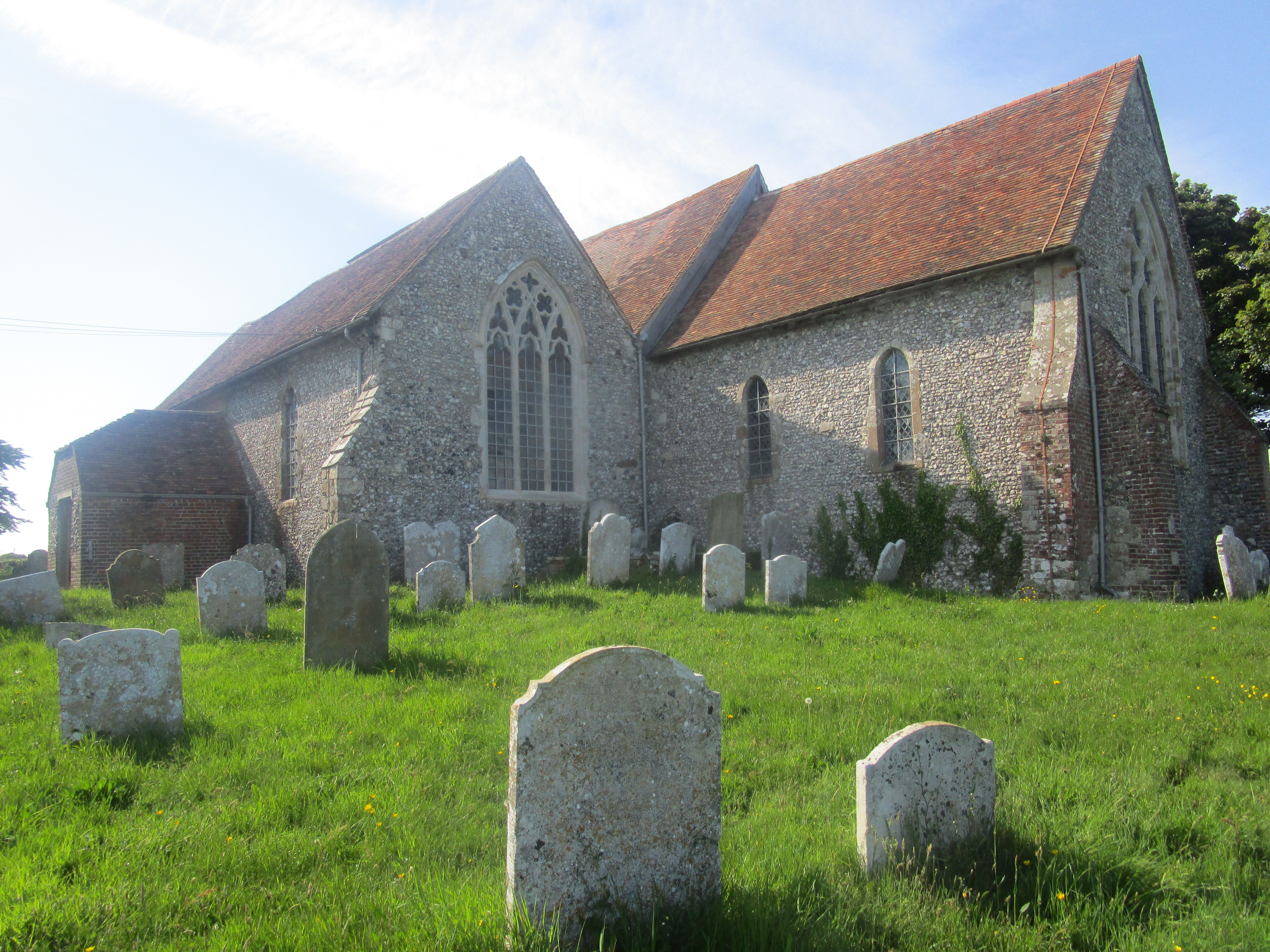
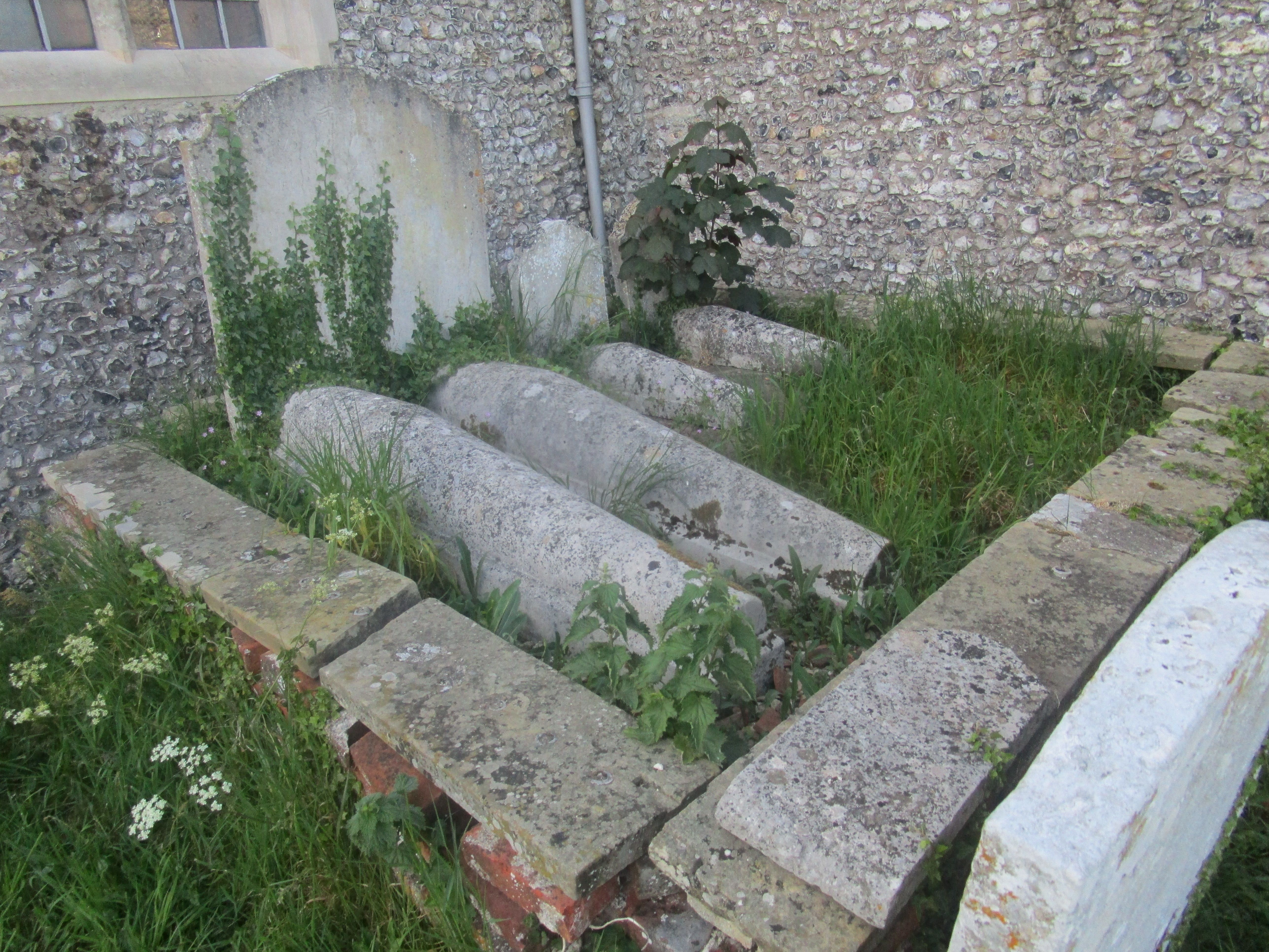
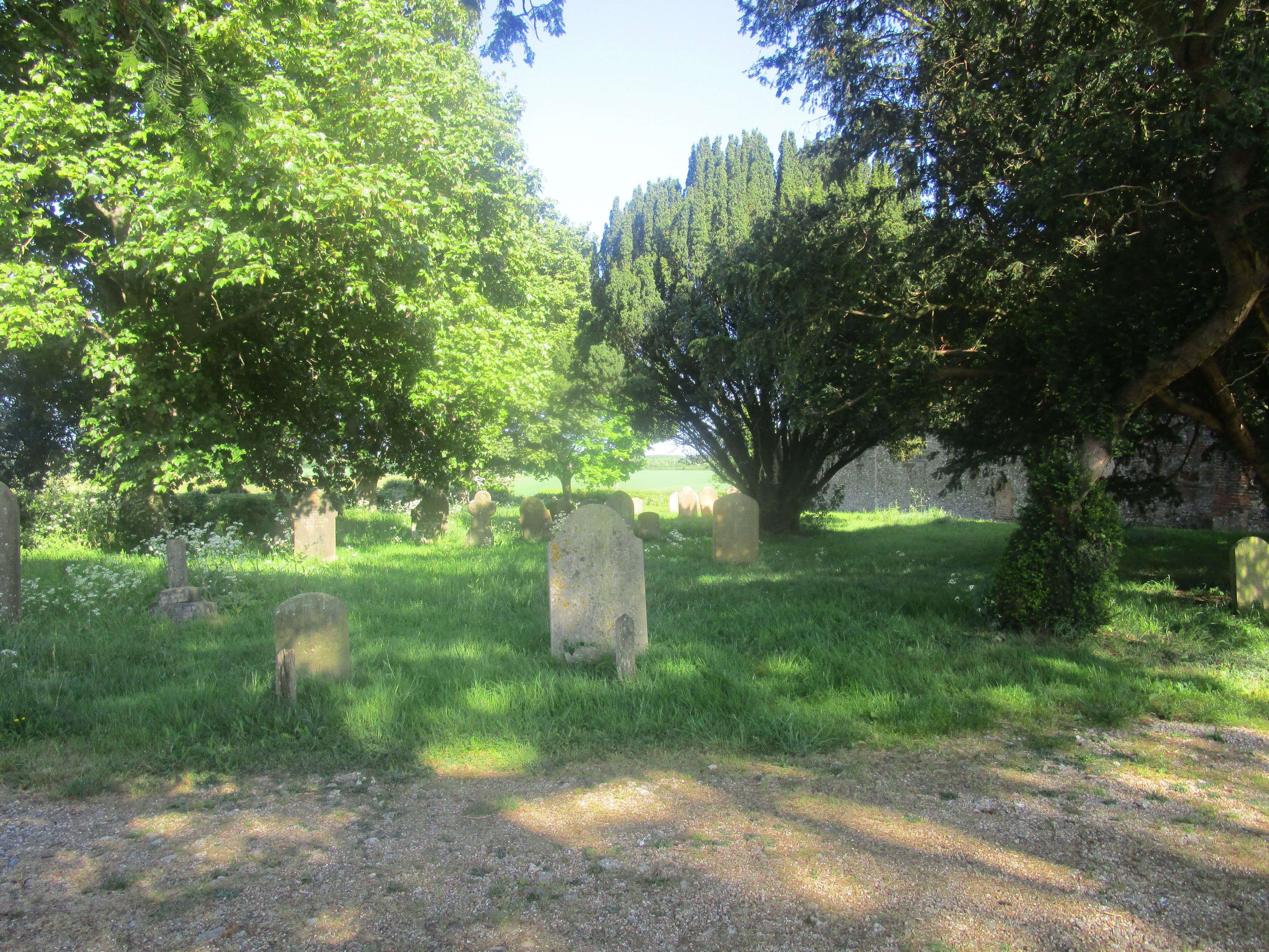
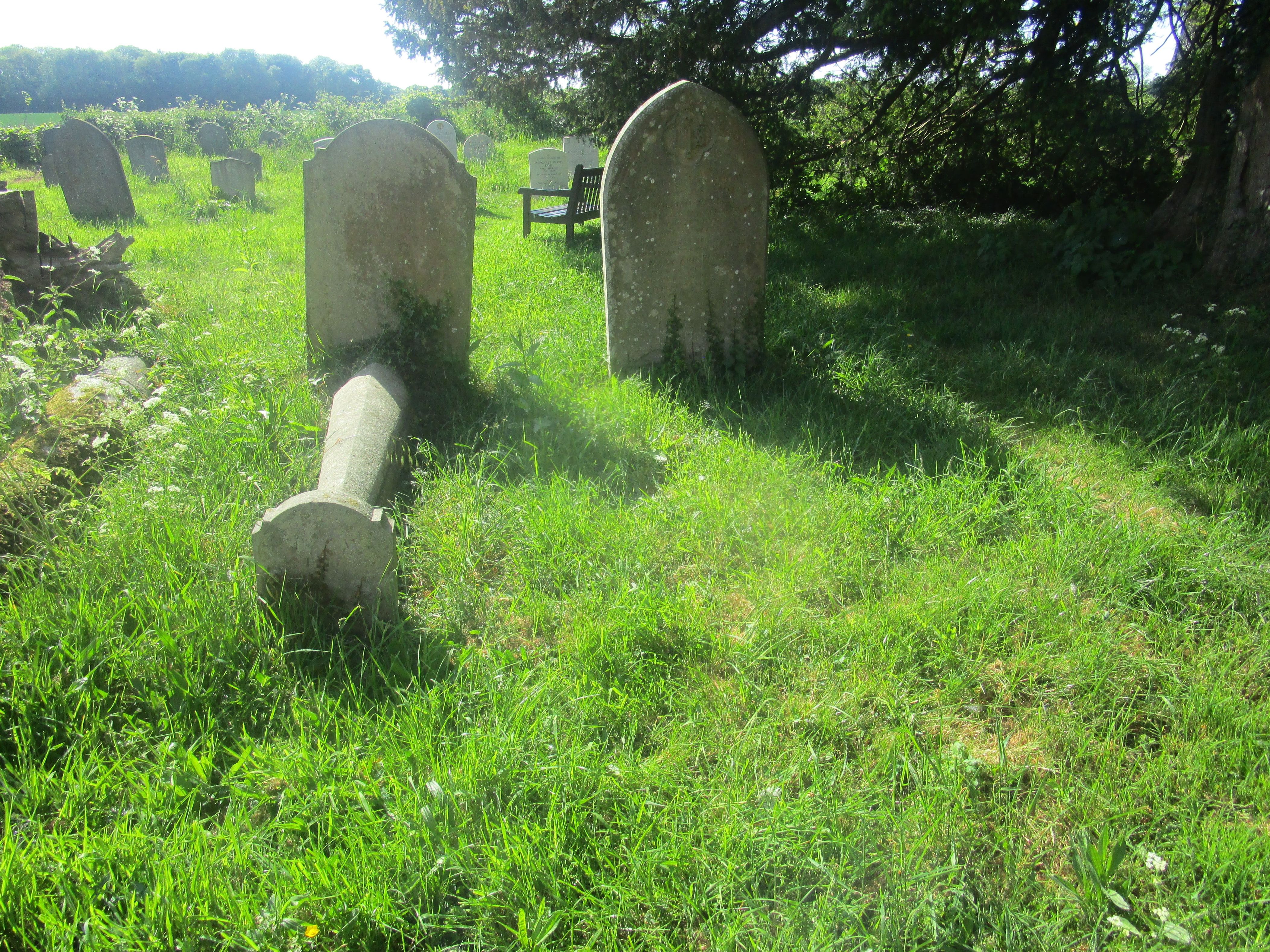
| Description | : | There was a church on this site, close to the Roman Stone Street, at the time of Domesday Book, although the present building is 13th century. From the outside the church looks typical of the East Kent villages, built of flint with stone quoins; inside, the box pews have been rearranged, and the pulpit moved, to lay out the church in a non-conformist style. This was done in 1790, and has not been altered since, making St Mary's, according to the Kent Archaeological Society, "Kent's most extraordinary parish church". One of the yew trees in the churchyard is believed to... Read More |
frequently asked questions (FAQ):
-
Where is St Mary Churchyard?
St Mary Churchyard is located at Harvest Lane, Stelling Stelling Minnis, Shepway District ,Kent , CT4 5PTEngland.
-
St Mary Churchyard cemetery's updated grave count on graveviews.com?
16 memorials
-
Where are the coordinates of the St Mary Churchyard?
Latitude: 51.1963830
Longitude: 1.0644830
Nearby Cemetories:
1. St Peter and St Paul Churchyard
Upper Hardres, City of Canterbury, England
Coordinate: 51.2152380, 1.0811020
2. All Saints Churchyard
Petham, City of Canterbury, England
Coordinate: 51.2206030, 1.0496330
3. St Bartholomew Churchyard
Waltham, City of Canterbury, England
Coordinate: 51.1961680, 1.0223940
4. St Mary's Churchyard
Lower Hardres, City of Canterbury, England
Coordinate: 51.2371410, 1.0821320
5. St Mary the Blessed Virgin Churchyard
Crundale, Ashford Borough, England
Coordinate: 51.1985000, 0.9842100
6. Elham Methodist Church
Elham, Shepway District, England
Coordinate: 51.1542930, 1.1113970
7. St. Mary the Virgin Churchyard
Hastingleigh, Ashford Borough, England
Coordinate: 51.1610820, 1.0047880
8. St. Mary the Virgin Churchyard
Elham, Shepway District, England
Coordinate: 51.1521870, 1.1118610
9. St Mary Churchyard
Bishopsbourne, City of Canterbury, England
Coordinate: 51.2307620, 1.1323170
10. St Augustine Hospital Burial Ground
Chartham, City of Canterbury, England
Coordinate: 51.2480170, 1.0342770
11. Elham Burial Ground
Elham, Shepway District, England
Coordinate: 51.1497940, 1.1115020
12. St. Mary's Churchyard
Nackington, City of Canterbury, England
Coordinate: 51.2498670, 1.0892370
13. St. Giles Churchyard
Kingston, City of Canterbury, England
Coordinate: 51.2181750, 1.1463980
14. St Peter Churchyard
Bridge, City of Canterbury, England
Coordinate: 51.2443730, 1.1271000
15. St John the Baptist Churchyard
Barham, City of Canterbury, England
Coordinate: 51.2065410, 1.1620830
16. St John the Baptist Church Cemetery
Barham, City of Canterbury, England
Coordinate: 51.2056600, 1.1629900
17. St. Mary the Virgin Churchyard
Chartham, City of Canterbury, England
Coordinate: 51.2558720, 1.0180810
18. St Mary Magdalene Churchyard
Denton, Dover District, England
Coordinate: 51.1767118, 1.1694535
19. St Mary the Blessed Virgin Churchyard
Brabourne, Ashford Borough, England
Coordinate: 51.1358410, 1.0054050
20. St Mary and St Ethelburga Churchyard
Lyminge, Shepway District, England
Coordinate: 51.1262670, 1.0869770
21. Barham Crematorium
Barham, City of Canterbury, England
Coordinate: 51.1972610, 1.1800310
22. St Mary Churchyard
Patrixbourne, City of Canterbury, England
Coordinate: 51.2534430, 1.1364840
23. Aylesham Cemetery
Aylesham, Dover District, England
Coordinate: 51.2126910, 1.1781980
24. Chartham Cemetery
Chartham, City of Canterbury, England
Coordinate: 51.2600890, 1.0068260