
| Memorials | : | 0 |
| Location | : | Welney, Kings Lynn and West Norfolk Borough, England |
| Coordinate | : | 52.5212100, 0.2479820 |
frequently asked questions (FAQ):
-
Where is St. Mary the Virgin Churchyard?
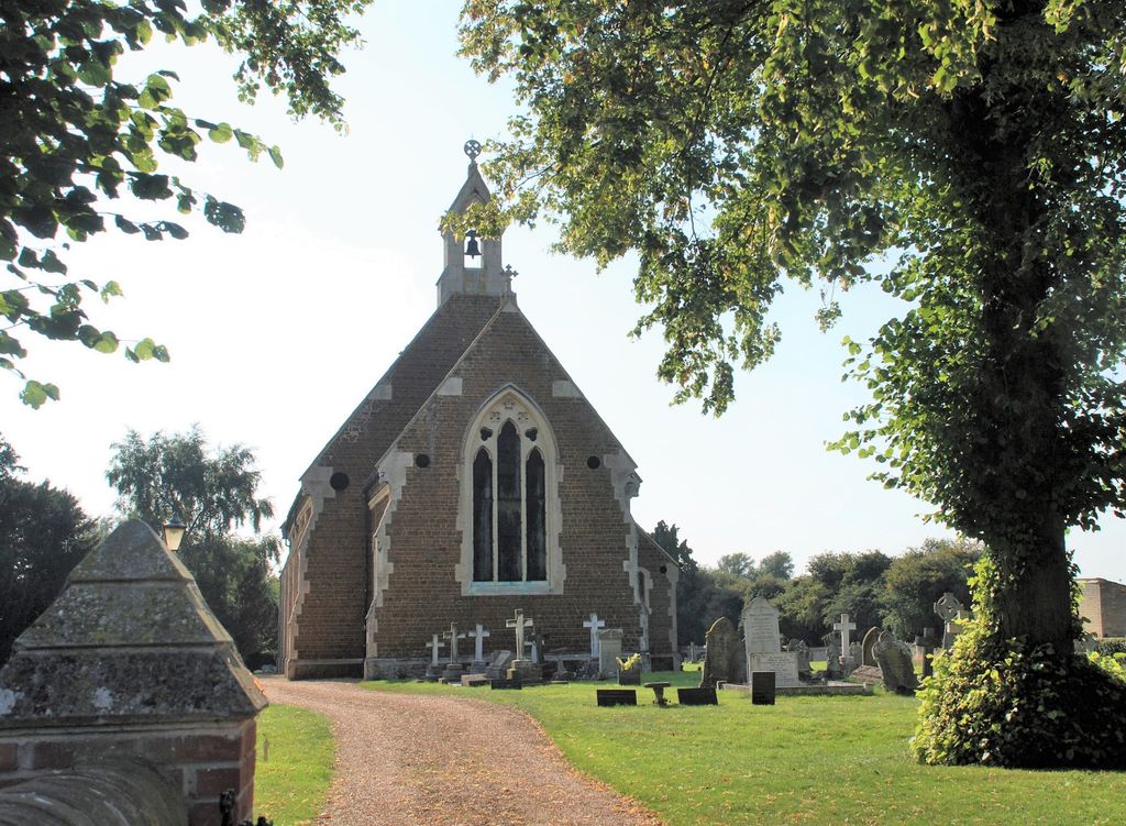
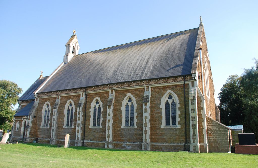
St. Mary the Virgin Churchyard is located at Main Street Welney, Kings Lynn and West Norfolk Borough ,Norfolk , PE14 9RBEngland.
-
St. Mary the Virgin Churchyard cemetery's updated grave count on graveviews.com?
0 memorials
-
Where are the coordinates of the St. Mary the Virgin Churchyard?
Latitude: 52.5212100
Longitude: 0.2479820
Nearby Cemetories:
1. Christ Church Churchyard
Christchurch, Fenland District, England
Coordinate: 52.5456560, 0.2007360
2. St. Nicholas' Churchyard
Manea, Fenland District, England
Coordinate: 52.4813910, 0.1737894
3. Littleport Cemetery
Littleport, East Cambridgeshire District, England
Coordinate: 52.4591154, 0.2954870
4. Nordelph Cemetery
Nordelph, Kings Lynn and West Norfolk Borough, England
Coordinate: 52.5836400, 0.3015100
5. Upwell Baptist Chapel
Upwell, Kings Lynn and West Norfolk Borough, England
Coordinate: 52.5878110, 0.2070450
6. St. Peter's Churchyard
Upwell, Kings Lynn and West Norfolk Borough, England
Coordinate: 52.6018160, 0.2219280
7. Upwell Cemetery
Upwell, Kings Lynn and West Norfolk Borough, England
Coordinate: 52.6023700, 0.2229300
8. St. Mary the Virgin Churchyard
Southery, Kings Lynn and West Norfolk Borough, England
Coordinate: 52.5249310, 0.3894790
9. St. Leonard Church Cemetery
Little Downham, East Cambridgeshire District, England
Coordinate: 52.4346700, 0.2475600
10. Outwell Cemetery
Outwell, Kings Lynn and West Norfolk Borough, England
Coordinate: 52.6092800, 0.2363600
11. St. Clement Churchyard
Outwell, Kings Lynn and West Norfolk Borough, England
Coordinate: 52.6096650, 0.2340700
12. All Saints Churchyard
Hilgay, Kings Lynn and West Norfolk Borough, England
Coordinate: 52.5574000, 0.3911690
13. Eastwood Cemetery
March, Fenland District, England
Coordinate: 52.5433080, 0.0954320
14. Saint Michael and All Angels Churchyard
Chettisham, East Cambridgeshire District, England
Coordinate: 52.4260300, 0.2735600
15. St Peter Churchyard
Wimblington, Fenland District, England
Coordinate: 52.5081000, 0.0851900
16. St. Wendreda's Churchyard
March, Fenland District, England
Coordinate: 52.5364880, 0.0849940
17. Station Road Cemetery
March, Fenland District, England
Coordinate: 52.5565100, 0.0920400
18. St Mary Churchyard
Denver, Kings Lynn and West Norfolk Borough, England
Coordinate: 52.5886240, 0.3819980
19. St. Peter ad Vincula Churchyard
Coveney, East Cambridgeshire District, England
Coordinate: 52.4173217, 0.1889106
20. St. Michael's Churchyard
Ryston, Kings Lynn and West Norfolk Borough, England
Coordinate: 52.5895310, 0.3912770
21. King's Walk Cemetery
Downham Market, Kings Lynn and West Norfolk Borough, England
Coordinate: 52.6025160, 0.3808160
22. Churchside Cemetery
Downham Market, Kings Lynn and West Norfolk Borough, England
Coordinate: 52.6027720, 0.3807240
23. Rouse's Lane
Downham Market, Kings Lynn and West Norfolk Borough, England
Coordinate: 52.6007020, 0.3874400
24. St Mary Churchyard
Doddington, Fenland District, England
Coordinate: 52.4949320, 0.0609840