
| Memorials | : | 0 |
| Location | : | Wimblington, Fenland District, England |
| Coordinate | : | 52.5081000, 0.0851900 |
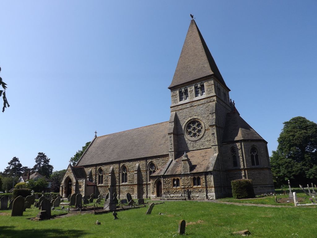
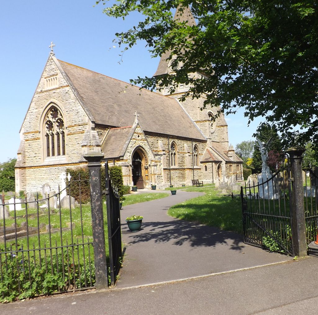
| Description | : | Wimblington was formerly a hamlet of the large Doddington parish. In 1874 it became a separate parish and a new church, St Peter's, was opened on 15 May of that year. The village is effectively divided into two; a hamlet known as Eastwood End is separated from the main village by the A141 road, which was previously divided by the St Ives extension of the Great Eastern Railway line between March and Chatteris. |
frequently asked questions (FAQ):
-
Where is St Peter Churchyard?
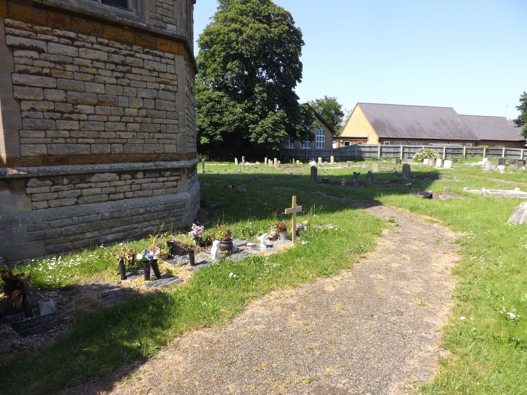
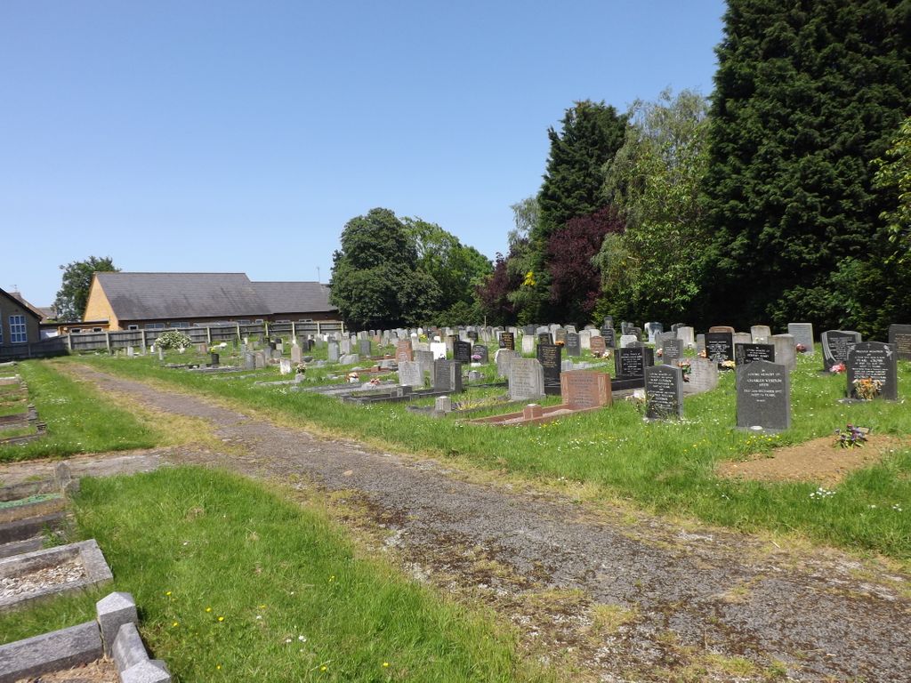
St Peter Churchyard is located at Church Street/Chapel Lane Wimblington, Fenland District ,Cambridgeshire ,England.
-
St Peter Churchyard cemetery's updated grave count on graveviews.com?
0 memorials
-
Where are the coordinates of the St Peter Churchyard?
Latitude: 52.5081000
Longitude: 0.0851900
Nearby Cemetories:
1. St Mary Churchyard
Doddington, Fenland District, England
Coordinate: 52.4949320, 0.0609840
2. St. Wendreda's Churchyard
March, Fenland District, England
Coordinate: 52.5364880, 0.0849940
3. Eastwood Cemetery
March, Fenland District, England
Coordinate: 52.5433080, 0.0954320
4. Station Road Cemetery
March, Fenland District, England
Coordinate: 52.5565100, 0.0920400
5. Parochial Cemetery
Chatteris, Fenland District, England
Coordinate: 52.4571990, 0.0582040
6. Meeks Cemetery
Chatteris, Fenland District, England
Coordinate: 52.4579050, 0.0530000
7. St. Peter & St. Paul Churchyard
Chatteris, Fenland District, England
Coordinate: 52.4547000, 0.0510900
8. St. Mary's Churchyard
March, Fenland District, England
Coordinate: 52.5648400, 0.0632100
9. St. Nicholas' Churchyard
Manea, Fenland District, England
Coordinate: 52.4813910, 0.1737894
10. Benwick Cemetery
Benwick, Fenland District, England
Coordinate: 52.4967300, -0.0259400
11. St. Mary's Churchyard
Ramsey Saint Marys, Huntingdonshire District, England
Coordinate: 52.4688020, -0.0153334
12. Christ Church Churchyard
Christchurch, Fenland District, England
Coordinate: 52.5456560, 0.2007360
13. St. Mary the Virgin Churchyard
Welney, Kings Lynn and West Norfolk Borough, England
Coordinate: 52.5212100, 0.2479820
14. St. Mary Churchyard
Mepal, East Cambridgeshire District, England
Coordinate: 52.4087700, 0.1159990
15. Guyhirn Old Churchyard
Guyhirn, Fenland District, England
Coordinate: 52.6155700, 0.0714900
16. Upwell Baptist Chapel
Upwell, Kings Lynn and West Norfolk Borough, England
Coordinate: 52.5878110, 0.2070450
17. St. Peter ad Vincula Churchyard
Coveney, East Cambridgeshire District, England
Coordinate: 52.4173217, 0.1889106
18. Holy Trinity Churchyard
Coates, Fenland District, England
Coordinate: 52.5626500, -0.0756700
19. Witcham Village Cemetery
Witcham, East Cambridgeshire District, England
Coordinate: 52.4015837, 0.1476457
20. St. Andrew's Churchyard
Sutton, East Cambridgeshire District, England
Coordinate: 52.3899851, 0.1261606
21. St. Leonard Church Cemetery
Little Downham, East Cambridgeshire District, England
Coordinate: 52.4346700, 0.2475600
22. St. Peter's Churchyard
Upwell, Kings Lynn and West Norfolk Borough, England
Coordinate: 52.6018160, 0.2219280
23. Wood Lane Cemetery
Ramsey, Huntingdonshire District, England
Coordinate: 52.4525800, -0.0994800
24. Upwell Cemetery
Upwell, Kings Lynn and West Norfolk Borough, England
Coordinate: 52.6023700, 0.2229300