
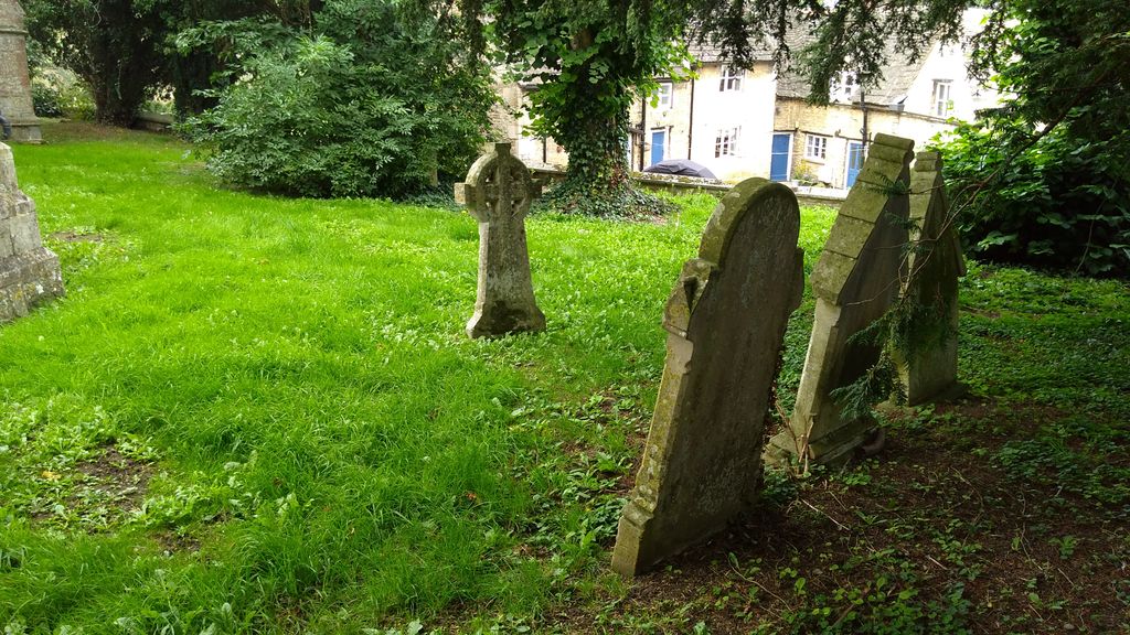
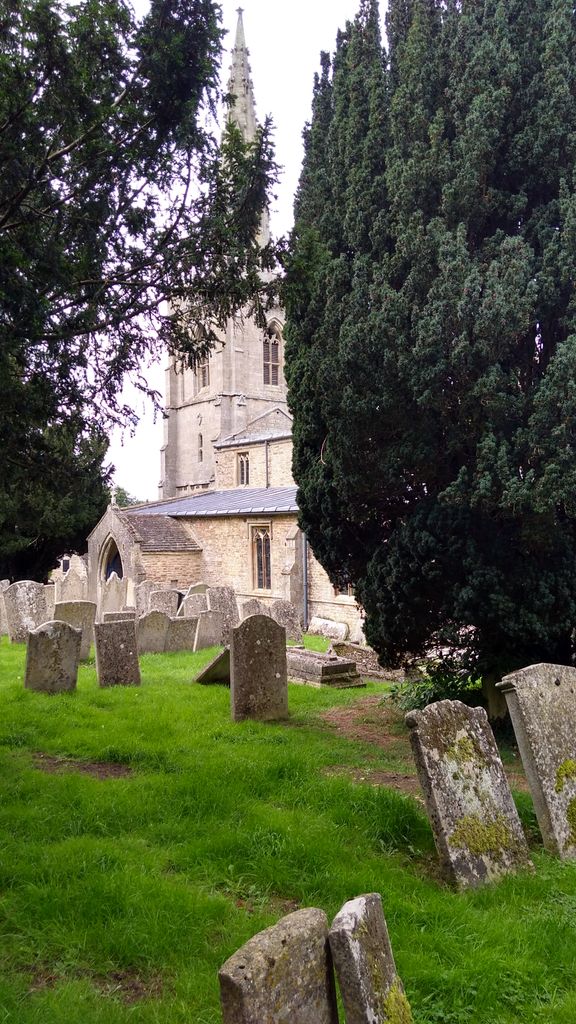
| Memorials | : | 2 |
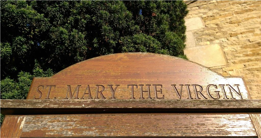
| Location | : | South Luffenham, Rutland Unitary Authority, England |
| Coordinate | : | 52.6067200, -0.6114100 |
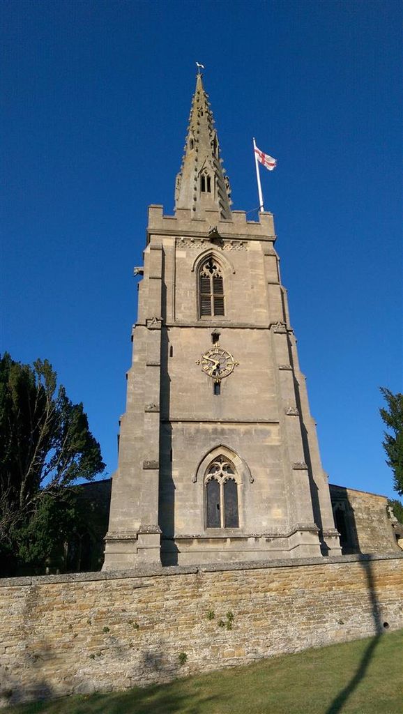
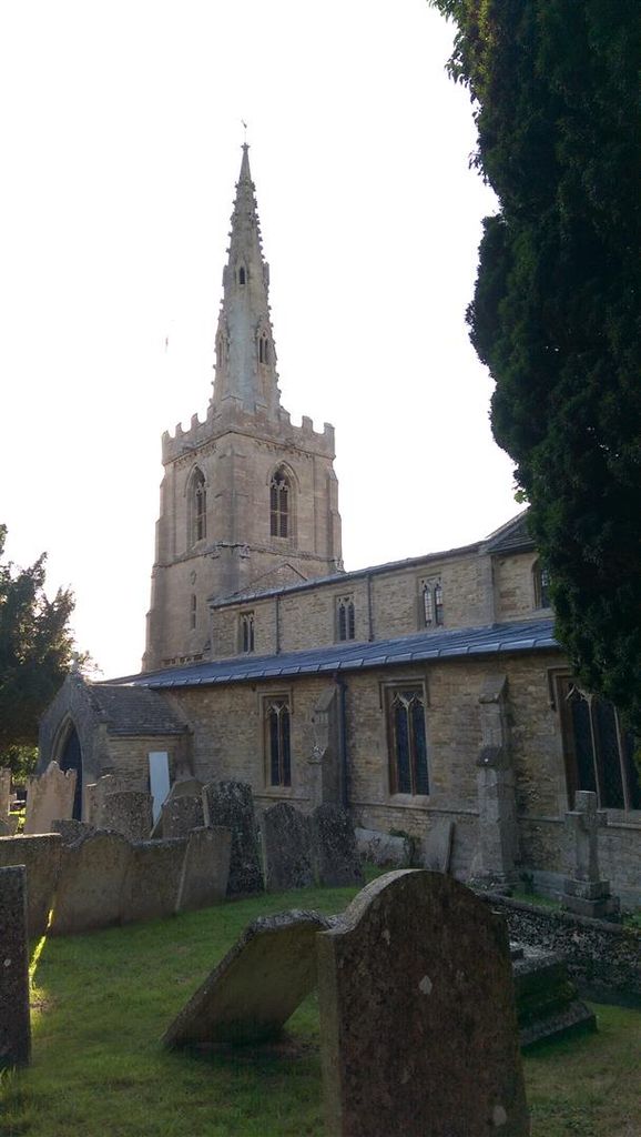
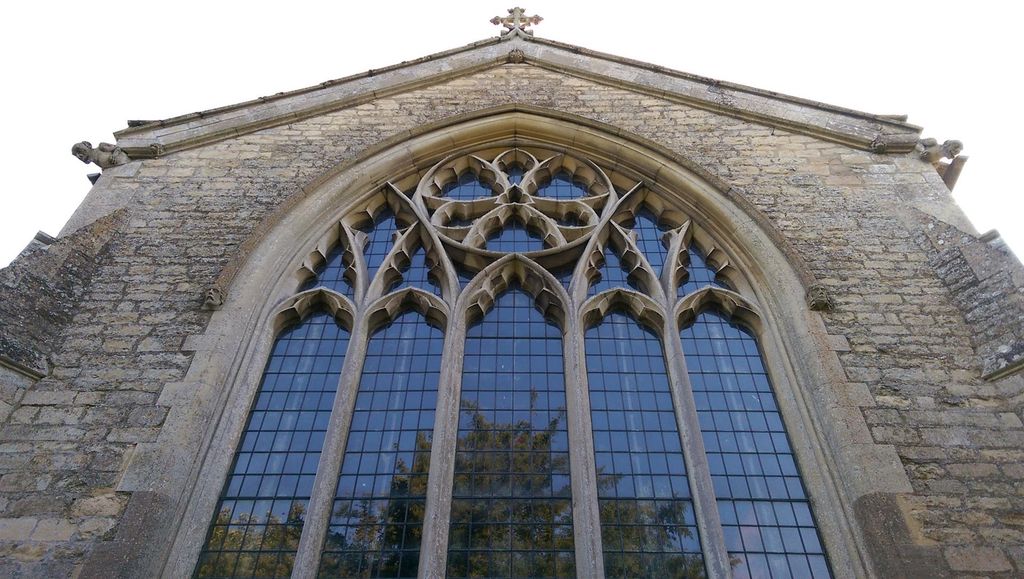
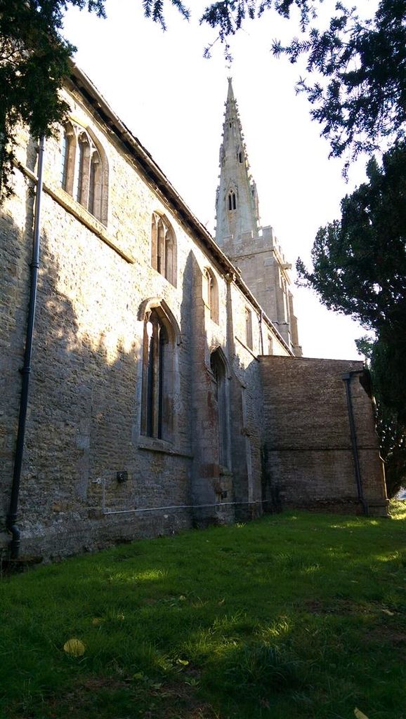
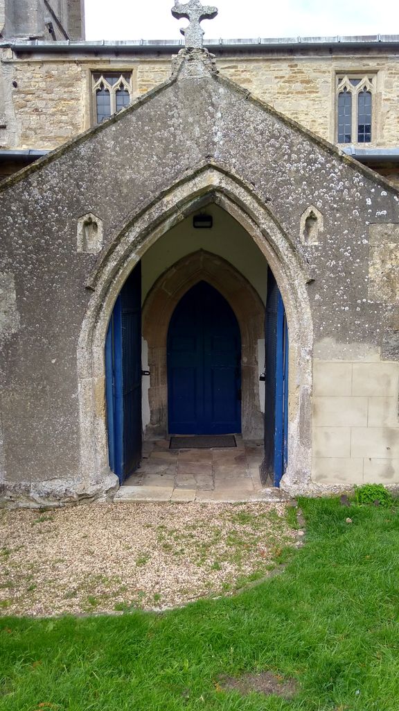
| Description | : | The church was built soon after the Norman conquest in the 11th century. A south aisle was added in the 13th century and the chancel in the 15th. The font is 14th century. The pulpit was built in 1861 from Clipsham stone. |
frequently asked questions (FAQ):
-
Where is St Mary the Virgin Churchyard?
St Mary the Virgin Churchyard is located at The Street South Luffenham, Rutland Unitary Authority ,Rutland , LE15 8NXEngland.
-
St Mary the Virgin Churchyard cemetery's updated grave count on graveviews.com?
2 memorials
-
Where are the coordinates of the St Mary the Virgin Churchyard?
Latitude: 52.6067200
Longitude: -0.6114100
Nearby Cemetories:
1. St. John The Baptist Church
North Luffenham, Rutland Unitary Authority, England
Coordinate: 52.6186570, -0.6211140
2. St. Peter's Churchyard
Barrowden, Rutland Unitary Authority, England
Coordinate: 52.5888800, -0.6063600
3. St Mary the Virgin Churchyard
Morcott, Rutland Unitary Authority, England
Coordinate: 52.5967800, -0.6366200
4. St Nicholas Churchyard
Pilton, Rutland Unitary Authority, England
Coordinate: 52.6165200, -0.6504100
5. Church of Saint John the Baptist
Wakerley, East Northamptonshire Borough, England
Coordinate: 52.5817323, -0.5929850
6. St Mary the Virgin Churchyard
Edith Weston, Rutland Unitary Authority, England
Coordinate: 52.6379100, -0.6311100
7. Ketton Park Burial Ground
Ketton, Rutland Unitary Authority, England
Coordinate: 52.6240570, -0.5604330
8. St. Andrew's Churchyard
Glaston, Rutland Unitary Authority, England
Coordinate: 52.5953628, -0.6781534
9. Ketton St Mary the Virgin Churchyard
Ketton, Rutland Unitary Authority, England
Coordinate: 52.6274671, -0.5509559
10. Church of St Mary
Duddington, East Northamptonshire Borough, England
Coordinate: 52.5969190, -0.5432540
11. St. Peter and St. Paul's Churchyard
Wing, Rutland Unitary Authority, England
Coordinate: 52.6172140, -0.6814150
12. Saint John The Baptist Churchyard
Harringworth, East Northamptonshire Borough, England
Coordinate: 52.5671000, -0.6491000
13. All Hallows Churchyard
Seaton, Rutland Unitary Authority, England
Coordinate: 52.5745730, -0.6670810
14. Collyweston Cemetery
Collyweston, East Northamptonshire Borough, England
Coordinate: 52.6115580, -0.5319430
15. St. Andrew's Churchyard
Collyweston, East Northamptonshire Borough, England
Coordinate: 52.6151719, -0.5303754
16. All Saints Churchyard
Laxton, East Northamptonshire Borough, England
Coordinate: 52.5535760, -0.5992450
17. St Peter Churchyard
Empingham, Rutland Unitary Authority, England
Coordinate: 52.6656310, -0.5957880
18. Empingham Whitwell Road Cemetery
Empingham, Rutland Unitary Authority, England
Coordinate: 52.6676155, -0.6029043
19. Holy Trinity Churchyard
Blatherwycke, East Northamptonshire Borough, England
Coordinate: 52.5514375, -0.5646654
20. St Andrew Churchyard
Hambleton, Rutland Unitary Authority, England
Coordinate: 52.6585060, -0.6712280
21. St Peter & Paul Churchyard
Preston, Rutland Unitary Authority, England
Coordinate: 52.6122600, -0.7162560
22. All Saints Churchyard
Easton on the Hill, East Northamptonshire Borough, England
Coordinate: 52.6309146, -0.5075823
23. St. Peter and St. Paul's Churchyard
Uppingham, Rutland Unitary Authority, England
Coordinate: 52.5873820, -0.7221660
24. All Saints Churchyard
Tinwell, Rutland Unitary Authority, England
Coordinate: 52.6457410, -0.5144190