
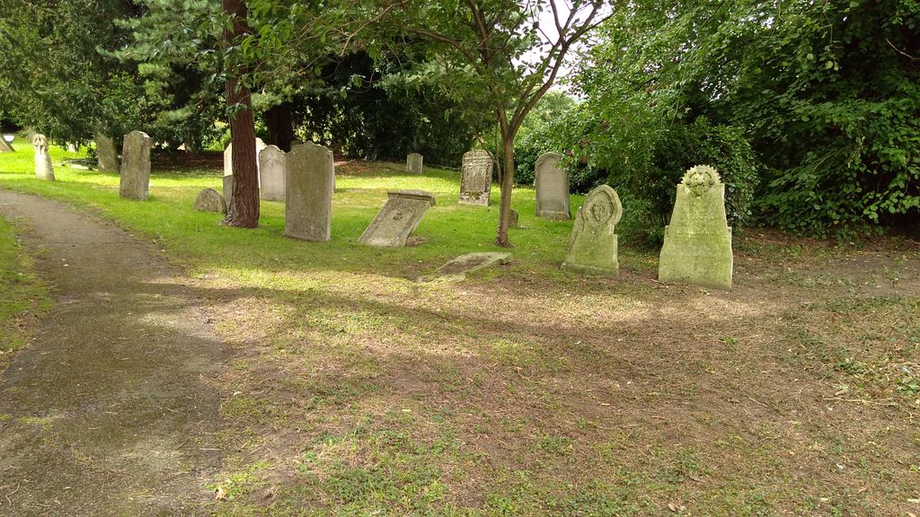
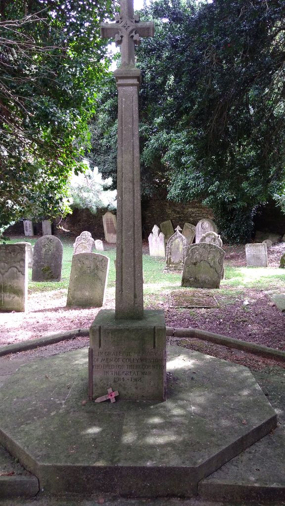
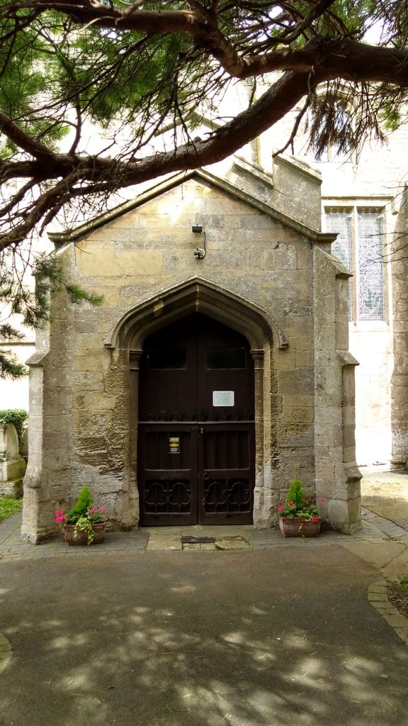
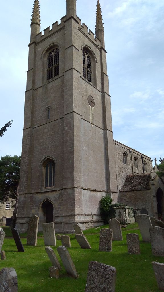
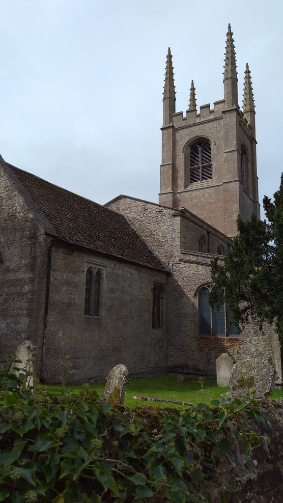
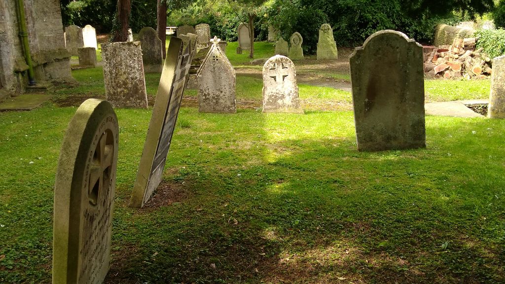
| Memorials | : | 2 |
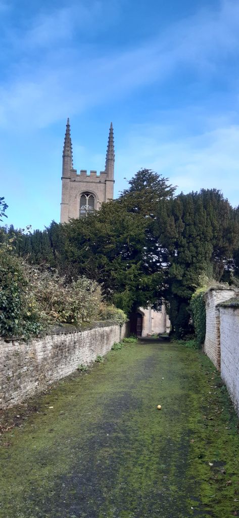
| Location | : | Collyweston, East Northamptonshire Borough, England |
| Coordinate | : | 52.6151719, -0.5303754 |
frequently asked questions (FAQ):
-
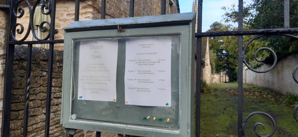
Where is St. Andrew's Churchyard?
St. Andrew's Churchyard is located at Collyweston, East Northamptonshire Borough ,Northamptonshire ,England.
-
St. Andrew's Churchyard cemetery's updated grave count on graveviews.com?
2 memorials
-
Where are the coordinates of the St. Andrew's Churchyard?
Latitude: 52.6151719
Longitude: -0.5303754
Nearby Cemetories:
1. Collyweston Cemetery
Collyweston, East Northamptonshire Borough, England
Coordinate: 52.6115580, -0.5319430
2. Ketton St Mary the Virgin Churchyard
Ketton, Rutland Unitary Authority, England
Coordinate: 52.6274671, -0.5509559
3. Church of St Mary
Duddington, East Northamptonshire Borough, England
Coordinate: 52.5969190, -0.5432540
4. Ketton Park Burial Ground
Ketton, Rutland Unitary Authority, England
Coordinate: 52.6240570, -0.5604330
5. All Saints Churchyard
Easton on the Hill, East Northamptonshire Borough, England
Coordinate: 52.6309146, -0.5075823
6. All Saints Churchyard
Tinwell, Rutland Unitary Authority, England
Coordinate: 52.6457410, -0.5144190
7. St. Martin's Churchyard
Stamford, South Kesteven District, England
Coordinate: 52.6490200, -0.4773670
8. Saint John the Baptist Church
Stamford, South Kesteven District, England
Coordinate: 52.6517890, -0.4801320
9. All Saints Church
Stamford, South Kesteven District, England
Coordinate: 52.6522610, -0.4808400
10. Stamford Cemetery
Stamford, South Kesteven District, England
Coordinate: 52.6564300, -0.4905600
11. St Mary's Churchyard
Stamford, South Kesteven District, England
Coordinate: 52.6514440, -0.4783930
12. St. George's Churchyard
Stamford, South Kesteven District, England
Coordinate: 52.6514110, -0.4782500
13. St. Michael's Churchyard
Stamford, South Kesteven District, England
Coordinate: 52.6524606, -0.4774019
14. St Mary the Virgin Churchyard
South Luffenham, Rutland Unitary Authority, England
Coordinate: 52.6067200, -0.6114100
15. Church of Saint John the Baptist
Wakerley, East Northamptonshire Borough, England
Coordinate: 52.5817323, -0.5929850
16. St Peter & St Paul Churchyard
Great Casterton, Rutland Unitary Authority, England
Coordinate: 52.6676700, -0.5203600
17. St. Peter's Churchyard
Barrowden, Rutland Unitary Authority, England
Coordinate: 52.5888800, -0.6063600
18. All Saints Churchyard
Kings Cliffe, East Northamptonshire Borough, England
Coordinate: 52.5622450, -0.5160080
19. Greyfriars
Stamford, South Kesteven District, England
Coordinate: 52.6547990, -0.4697460
20. All Saints Churchyard
Wittering, Peterborough Unitary Authority, England
Coordinate: 52.6058600, -0.4421600
21. St. John The Baptist Church
North Luffenham, Rutland Unitary Authority, England
Coordinate: 52.6186570, -0.6211140
22. Kings Cliffe Cemetery
Kings Cliffe, East Northamptonshire Borough, England
Coordinate: 52.5605586, -0.5102005
23. St Peter's Churchyard
Tickencote, Rutland Unitary Authority, England
Coordinate: 52.6741278, -0.5365826
24. Newstead Priory
Stamford, South Kesteven District, England
Coordinate: 52.6582800, -0.4542480