
| Memorials | : | 0 |
| Location | : | Laxton, East Northamptonshire Borough, England |
| Coordinate | : | 52.5535760, -0.5992450 |
frequently asked questions (FAQ):
-
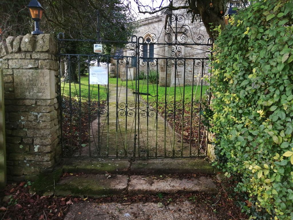
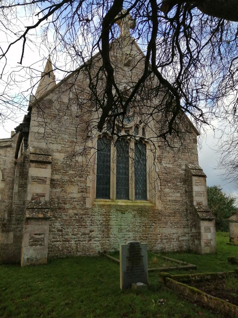
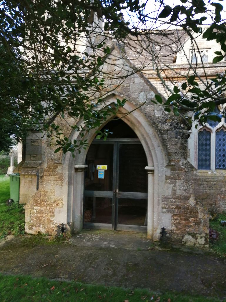
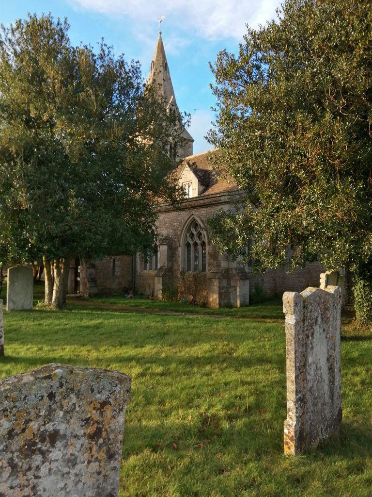
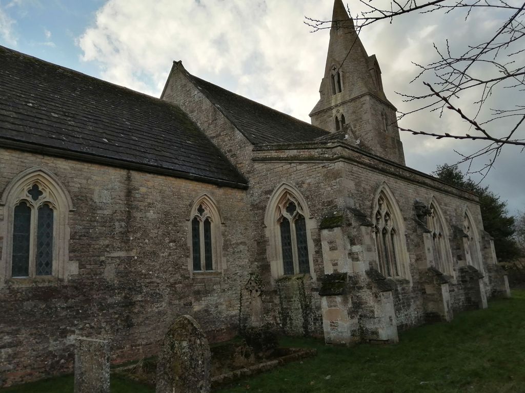
Where is All Saints Churchyard?
All Saints Churchyard is located at Laxton, East Northamptonshire Borough ,Northamptonshire ,England.
-
All Saints Churchyard cemetery's updated grave count on graveviews.com?
0 memorials
-
Where are the coordinates of the All Saints Churchyard?
Latitude: 52.5535760
Longitude: -0.5992450
Nearby Cemetories:
1. St. Nicholas' Churchyard
Bulwick, East Northamptonshire Borough, England
Coordinate: 52.5376000, -0.5818000
2. Holy Trinity Churchyard
Blatherwycke, East Northamptonshire Borough, England
Coordinate: 52.5514375, -0.5646654
3. Church of Saint John the Baptist
Wakerley, East Northamptonshire Borough, England
Coordinate: 52.5817323, -0.5929850
4. Deene Park
Deene, East Northamptonshire Borough, England
Coordinate: 52.5242960, -0.6010350
5. Saint Peter's Churchyard
Deene, East Northamptonshire Borough, England
Coordinate: 52.5242490, -0.5984740
6. Saint John The Baptist Churchyard
Harringworth, East Northamptonshire Borough, England
Coordinate: 52.5671000, -0.6491000
7. St. Peter's Churchyard
Barrowden, Rutland Unitary Authority, England
Coordinate: 52.5888800, -0.6063600
8. All Hallows Churchyard
Seaton, Rutland Unitary Authority, England
Coordinate: 52.5745730, -0.6670810
9. St. James Churchyard
Gretton, Corby Borough, England
Coordinate: 52.5403000, -0.6763400
10. St Mary the Virgin Churchyard
Morcott, Rutland Unitary Authority, England
Coordinate: 52.5967800, -0.6366200
11. All Saints Churchyard
Kings Cliffe, East Northamptonshire Borough, England
Coordinate: 52.5622450, -0.5160080
12. St Mary the Virgin Churchyard
South Luffenham, Rutland Unitary Authority, England
Coordinate: 52.6067200, -0.6114100
13. Kings Cliffe Cemetery
Kings Cliffe, East Northamptonshire Borough, England
Coordinate: 52.5605586, -0.5102005
14. Church of St Mary
Duddington, East Northamptonshire Borough, England
Coordinate: 52.5969190, -0.5432540
15. St. Andrew's Churchyard
Glaston, Rutland Unitary Authority, England
Coordinate: 52.5953628, -0.6781534
16. St. John The Baptist Church
North Luffenham, Rutland Unitary Authority, England
Coordinate: 52.6186570, -0.6211140
17. St Leonard Churchyard
Apethorpe, East Northamptonshire Borough, England
Coordinate: 52.5495140, -0.4899340
18. St Nicholas Churchyard
Pilton, Rutland Unitary Authority, England
Coordinate: 52.6165200, -0.6504100
19. Collyweston Cemetery
Collyweston, East Northamptonshire Borough, England
Coordinate: 52.6115580, -0.5319430
20. St Mary Churchyard
Woodnewton, East Northamptonshire Borough, England
Coordinate: 52.5392210, -0.4795790
21. Ketton Park Burial Ground
Ketton, Rutland Unitary Authority, England
Coordinate: 52.6240570, -0.5604330
22. St. Andrew's Churchyard
Collyweston, East Northamptonshire Borough, England
Coordinate: 52.6151719, -0.5303754
23. St. Mary Churchyard
Benefield, East Northamptonshire Borough, England
Coordinate: 52.4854100, -0.5460660
24. St. John the Evangelist Churchyard
Caldecott, Rutland Unitary Authority, England
Coordinate: 52.5341600, -0.7213400