
| Memorials | : | 0 |
| Location | : | Wallington, North Hertfordshire District, England |
| Coordinate | : | 51.9853930, -0.1195640 |
| Description | : | Wallington is a small village in Hertfordshire, near the town of Baldock. Nearby villages include Rushden and Sandon. It is within the civil parish of Rushden and Wallington. |
frequently asked questions (FAQ):
-
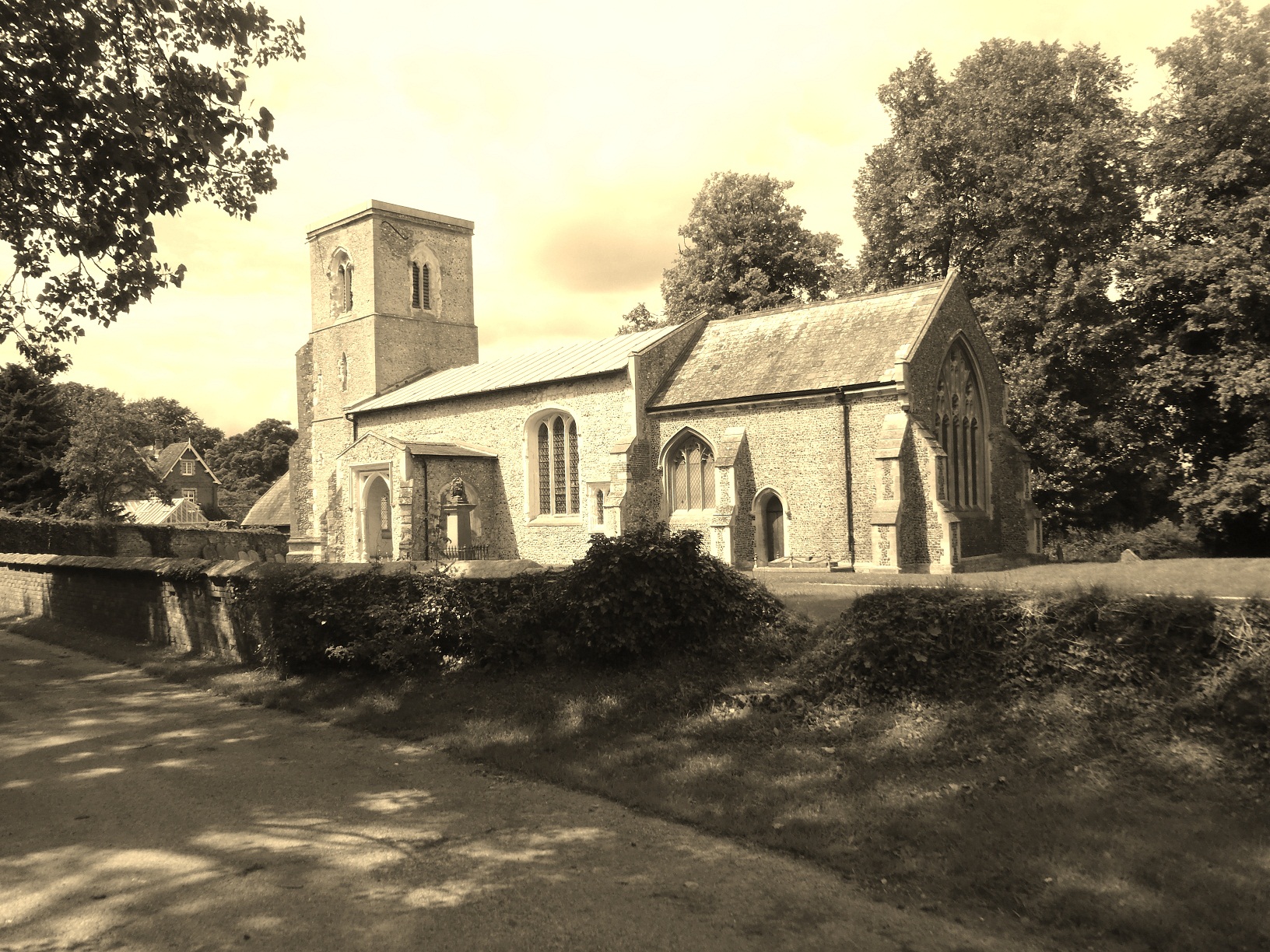
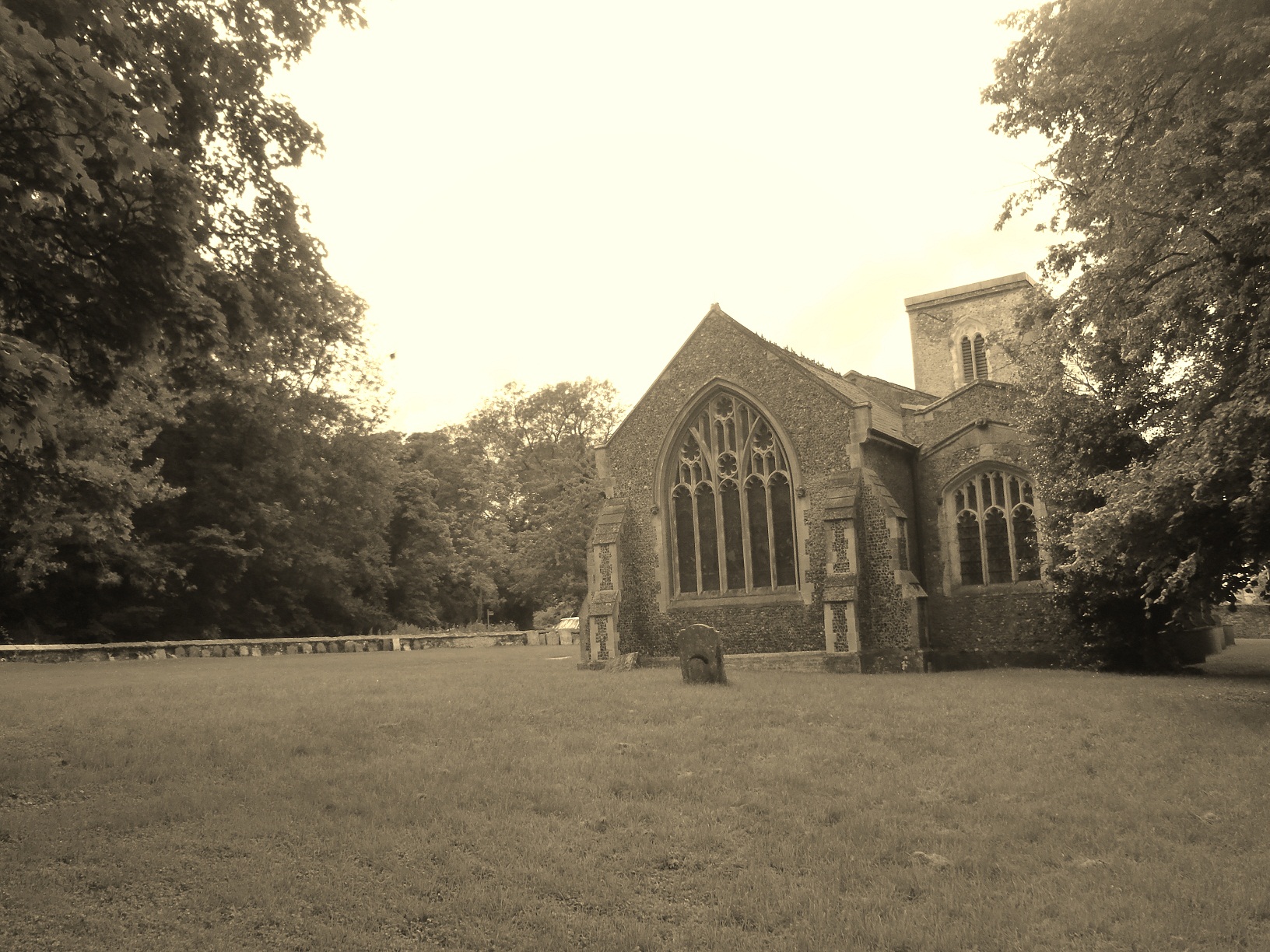
Where is St Marys Churchyard?
St Marys Churchyard is located at Wallington, North Hertfordshire District ,Hertfordshire ,England.
-
St Marys Churchyard cemetery's updated grave count on graveviews.com?
0 memorials
-
Where are the coordinates of the St Marys Churchyard?
Latitude: 51.9853930
Longitude: -0.1195640
Nearby Cemetories:
1. St Mary Churchyard
Rushden, North Hertfordshire District, England
Coordinate: 51.9689930, -0.1012800
2. All Saints Churchyard
Sandon, North Hertfordshire District, England
Coordinate: 51.9934160, -0.0756170
3. All Saints Churchyard
Radwell, North Hertfordshire District, England
Coordinate: 51.9747300, -0.1668550
4. St Faiths Churchyard
Kelshall, North Hertfordshire District, England
Coordinate: 52.0084230, -0.0656070
5. St Mary Churchyard
Baldock, North Hertfordshire District, England
Coordinate: 51.9897380, -0.1898930
6. St John the Baptist Churchyard
Cottered, East Hertfordshire District, England
Coordinate: 51.9458000, -0.0846000
7. Baldock Cemetery
Baldock, North Hertfordshire District, England
Coordinate: 51.9901010, -0.1960690
8. St Mary the Virgin Churchyard
Therfield, North Hertfordshire District, England
Coordinate: 52.0162060, -0.0568230
9. Holy Trinity Churchyard
Buntingford, East Hertfordshire District, England
Coordinate: 51.9540854, -0.0541753
10. St Nicholas Churchyard
Letchworth, North Hertfordshire District, England
Coordinate: 51.9948300, -0.2078900
11. St. Vincent Churchyard
Newnham, North Hertfordshire District, England
Coordinate: 52.0229100, -0.1897200
12. St Lawrence Churchyard
Ardeley, East Hertfordshire District, England
Coordinate: 51.9274000, -0.0989000
13. St Andrew Churchyard
Buckland, East Hertfordshire District, England
Coordinate: 51.9866510, -0.0230880
14. St. Mary the Virgin Churchyard
Walkern, East Hertfordshire District, England
Coordinate: 51.9226300, -0.1211300
15. St Mary Churchyard
Reed, North Hertfordshire District, England
Coordinate: 52.0034714, -0.0183250
16. All Saints Churchyard
Willian, North Hertfordshire District, England
Coordinate: 51.9609140, -0.2191160
17. St Mary Magdalene's Church
Caldecote, North Hertfordshire District, England
Coordinate: 52.0304700, -0.1989020
18. Stotfold Cemetery
Stotfold, Central Bedfordshire Unitary Authority, England
Coordinate: 52.0186450, -0.2189540
19. St Mary the Virgin Churchyard
Stotfold, Central Bedfordshire Unitary Authority, England
Coordinate: 52.0150980, -0.2232980
20. St Giles Churchyard
Wyddial, East Hertfordshire District, England
Coordinate: 51.9673270, -0.0010730
21. St Bartholomew's Church Churchyard
Buntingford, East Hertfordshire District, England
Coordinate: 51.9525530, -0.0089720
22. Weston Road Cemetery
Stevenage, Stevenage Borough, England
Coordinate: 51.9217860, -0.1935160
23. St Nicholas Churchyard
Hinxworth, North Hertfordshire District, England
Coordinate: 52.0476210, -0.1970460
24. Wilbury Hills Cemetery
Letchworth, North Hertfordshire District, England
Coordinate: 51.9862210, -0.2474770