
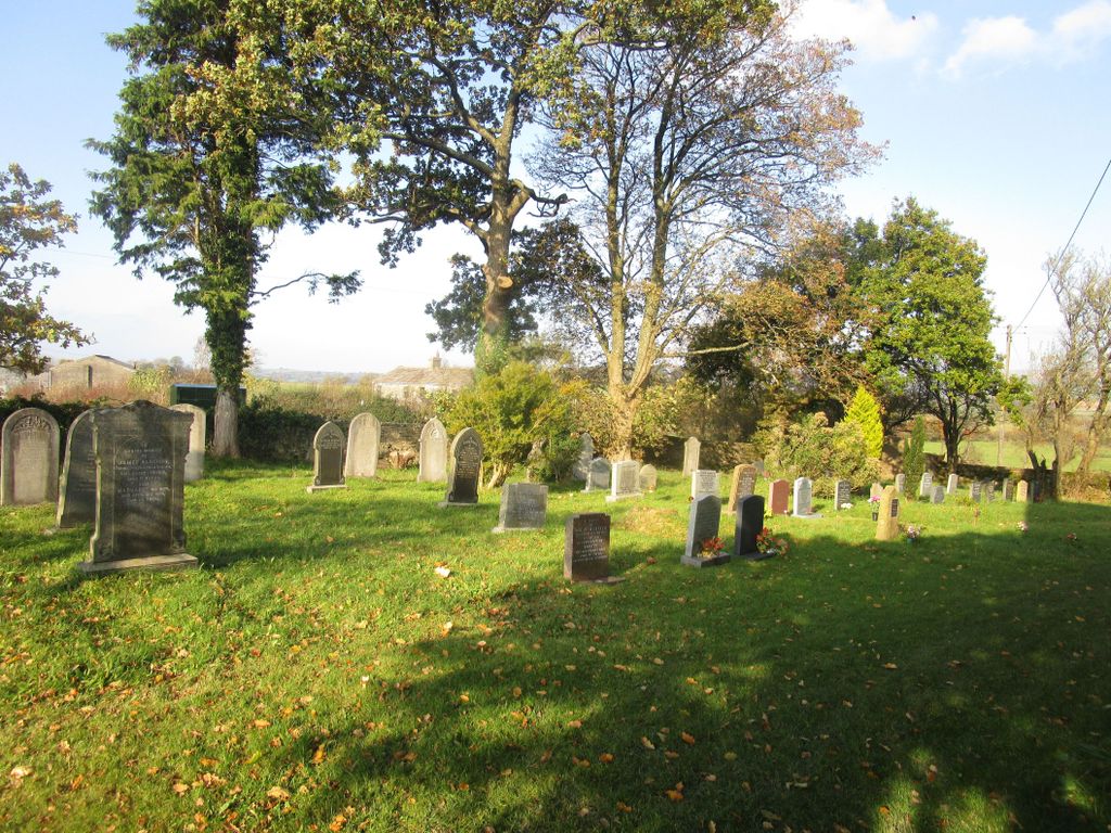
| Memorials | : | 0 |
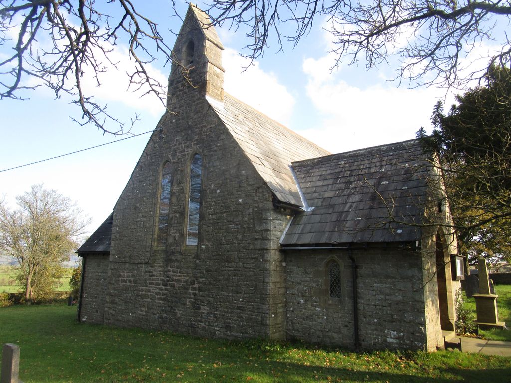
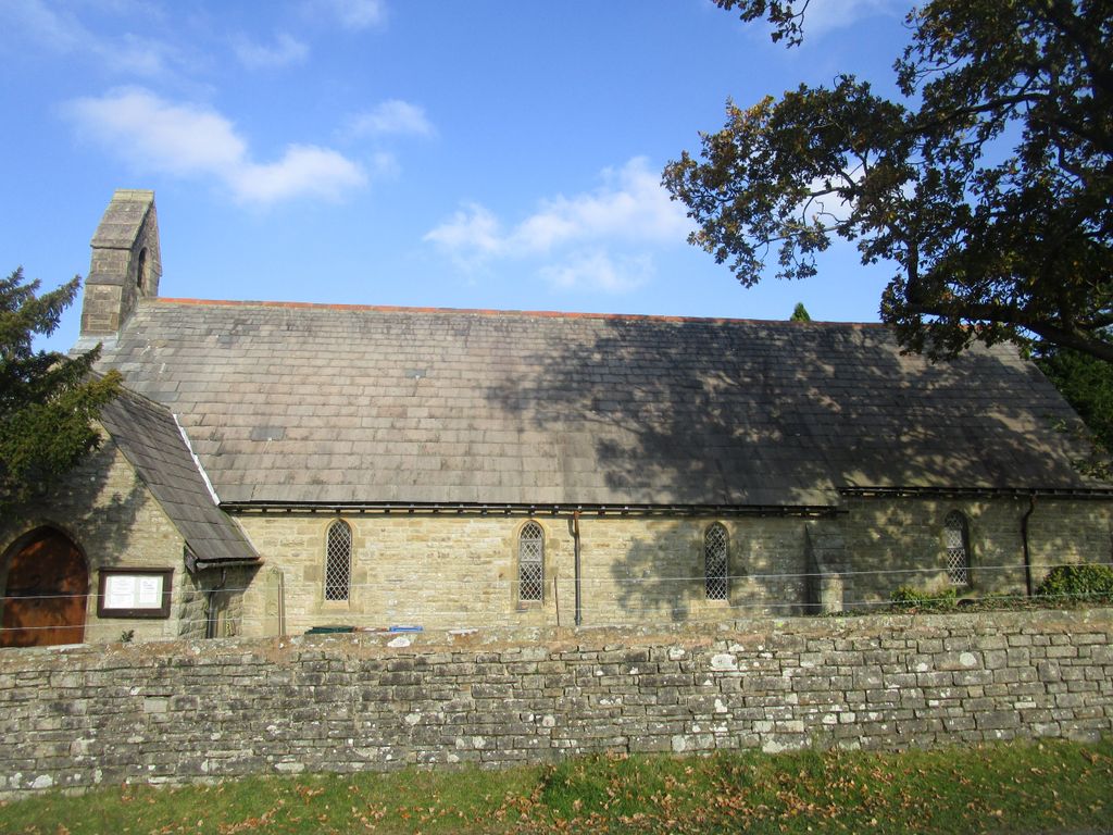
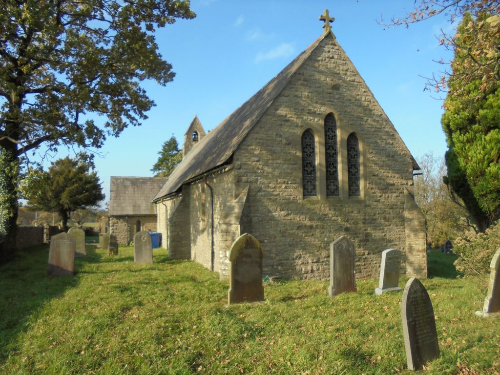
| Location | : | Keasden, Craven District, England |
| Coordinate | : | 54.0945680, -2.4245830 |
frequently asked questions (FAQ):
-
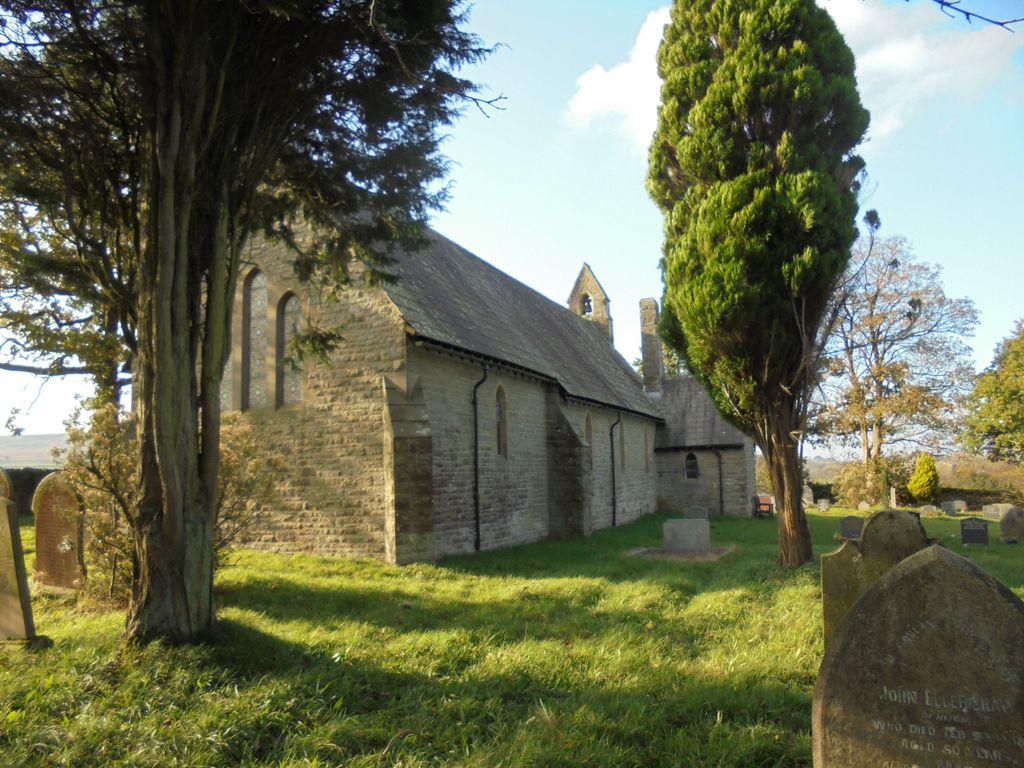
Where is St. Matthew's Churchyard?
St. Matthew's Churchyard is located at Reebys Lane Keasden, Craven District ,North Yorkshire , LA2 8EUEngland.
-
St. Matthew's Churchyard cemetery's updated grave count on graveviews.com?
0 memorials
-
Where are the coordinates of the St. Matthew's Churchyard?
Latitude: 54.0945680
Longitude: -2.4245830
Nearby Cemetories:
1. Clapham Parish Cemetery
Clapham, Craven District, England
Coordinate: 54.1110400, -2.3963100
2. St James Churchyard
Clapham, Craven District, England
Coordinate: 54.1202400, -2.3904970
3. Austwick Church Cemetery
Austwick, Craven District, England
Coordinate: 54.1081700, -2.3660600
4. St Margaret Churchyard
Bentham, Craven District, England
Coordinate: 54.1146000, -2.5087300
5. Ingleton Cemetery
Ingleton, Craven District, England
Coordinate: 54.1495470, -2.4569780
6. Church of the Good Shepherd Churchyard
Tatham, City of Lancaster, England
Coordinate: 54.0830170, -2.5301250
7. St Mary Churchyard
Ingleton, Craven District, England
Coordinate: 54.1540480, -2.4682980
8. St Oswald Churchyard
Thornton-in-Lonsdale, Craven District, England
Coordinate: 54.1573600, -2.4830810
9. Friends Burial Group
Bentham, Craven District, England
Coordinate: 54.1265450, -2.5374290
10. St. John the Baptist Churchyard
Bentham, Craven District, England
Coordinate: 54.1180880, -2.5454540
11. All Saints Churchyard
Burton-in-Lonsdale, Craven District, England
Coordinate: 54.1437630, -2.5357130
12. St Alkelda Churchyard
Giggleswick, Craven District, England
Coordinate: 54.0721700, -2.2894600
13. St Peter Churchyard
Stainforth, Craven District, England
Coordinate: 54.1019280, -2.2754890
14. Friends Burial Ground
Settle, Craven District, England
Coordinate: 54.0685370, -2.2791100
15. Holy Ascension Churchyard
Settle, Craven District, England
Coordinate: 54.0704320, -2.2775390
16. St John the Evangelist Churchyard
Langcliffe, Craven District, England
Coordinate: 54.0807400, -2.2721000
17. Zion Congregational Chapelyard
Settle, Craven District, England
Coordinate: 54.0672490, -2.2747040
18. St Oswald Churchyard
Horton-in-Ribblesdale, Craven District, England
Coordinate: 54.1445140, -2.2922550
19. Holy Trinity Churchyard
Rathmell, Craven District, England
Coordinate: 54.0351000, -2.3002300
20. St Leonard Churchyard
Chapel-le-Dale, Craven District, England
Coordinate: 54.1897200, -2.4032880
21. Brocklands Woodland Burial Site
Rathmell, Craven District, England
Coordinate: 54.0275720, -2.2998880
22. St James Churchyard
Tosside, Ribble Valley Borough, England
Coordinate: 53.9940290, -2.4029690
23. St Bartholomew Churchyard
Tosside, Ribble Valley Borough, England
Coordinate: 54.0002500, -2.3536700
24. Mount Sion Independent Chapelyard
Tosside, Ribble Valley Borough, England
Coordinate: 53.9982500, -2.3578200