
| Memorials | : | 1 |
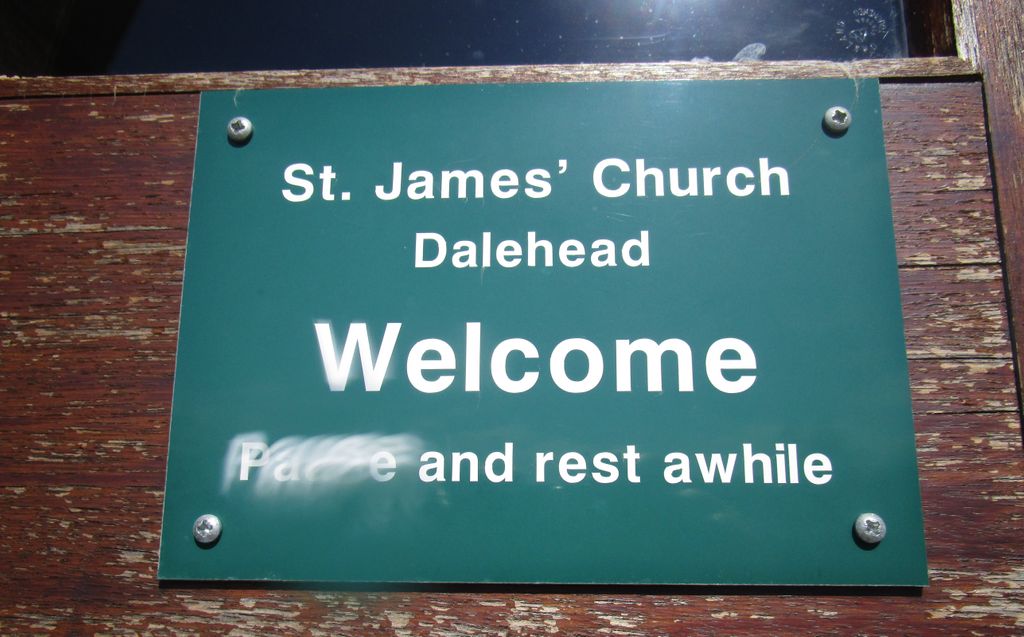
| Location | : | Tosside, Ribble Valley Borough, England |
| Coordinate | : | 53.9940290, -2.4029690 |
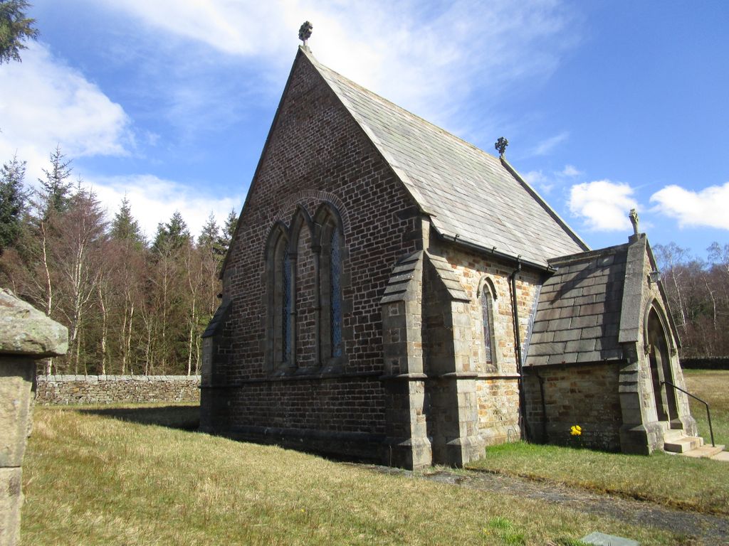
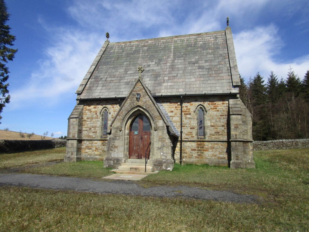
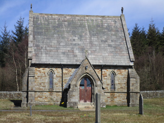
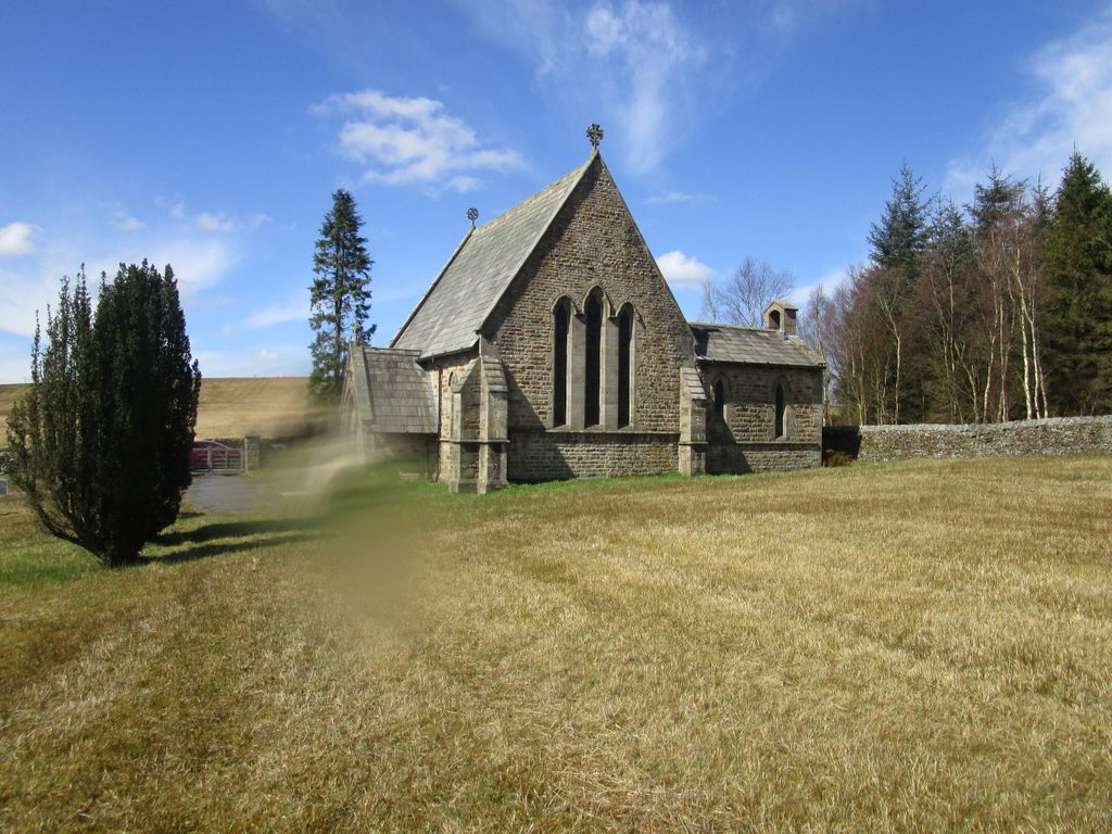
| Description | : | Located at the edge of the Gisburn Forest, equidistant from Slaidburn and Tosside. The church was built in the late 1930's when the original Dalehead parish church was demolished during the building of the Stocks Reservoir. The stones used to build St James Church came from the original church building and those buried in the old churchyard were removed and relocated within the present graveyard. |
frequently asked questions (FAQ):
-
Where is St James Churchyard?
St James Churchyard is located at Hole House Lane Tosside, Ribble Valley Borough ,Lancashire , BB7 4TSEngland.
-
St James Churchyard cemetery's updated grave count on graveviews.com?
0 memorials
-
Where are the coordinates of the St James Churchyard?
Latitude: 53.9940290
Longitude: -2.4029690
Nearby Cemetories:
1. Mount Sion Independent Chapelyard
Tosside, Ribble Valley Borough, England
Coordinate: 53.9982500, -2.3578200
2. St Bartholomew Churchyard
Tosside, Ribble Valley Borough, England
Coordinate: 54.0002500, -2.3536700
3. St Andrew Churchyard
Slaidburn, Ribble Valley Borough, England
Coordinate: 53.9641600, -2.4437090
4. Holden Chapel
Bolton-by-Bowland, Ribble Valley Borough, England
Coordinate: 53.9420850, -2.3500060
5. Brocklands Woodland Burial Site
Rathmell, Craven District, England
Coordinate: 54.0275720, -2.2998880
6. St Peter and St Paul Churchyard
Bolton-by-Bowland, Ribble Valley Borough, England
Coordinate: 53.9399800, -2.3270300
7. Holy Trinity Churchyard
Rathmell, Craven District, England
Coordinate: 54.0351000, -2.3002300
8. St Hubert Roman Catholic Churchyard
Dunsop Bridge, Ribble Valley Borough, England
Coordinate: 53.9460100, -2.5246900
9. Grindleton Methodist Cemetery
Grindleton, Ribble Valley Borough, England
Coordinate: 53.9080420, -2.3684420
10. Sawley Abbey
Sawley, Ribble Valley Borough, England
Coordinate: 53.9131920, -2.3417080
11. Long Preston Baptist Chapel
Long Preston, Craven District, England
Coordinate: 54.0204249, -2.2560031
12. St Ambrose Churchyard
Grindleton, Ribble Valley Borough, England
Coordinate: 53.9061710, -2.3633270
13. St Mary the Virgin Churchyard
Long Preston, Craven District, England
Coordinate: 54.0183790, -2.2497690
14. St. Matthew's Churchyard
Keasden, Craven District, England
Coordinate: 54.0945680, -2.4245830
15. St. Mary the Virgin Churchyard
Gisburn, Ribble Valley Borough, England
Coordinate: 53.9356080, -2.2605210
16. St Alkelda Churchyard
Giggleswick, Craven District, England
Coordinate: 54.0721700, -2.2894600
17. St. Michael's Churchyard
Whitewell, Ribble Valley Borough, England
Coordinate: 53.9167560, -2.5209540
18. Friends Burial Ground
Settle, Craven District, England
Coordinate: 54.0685370, -2.2791100
19. St Helen Churchyard
Waddington, Ribble Valley Borough, England
Coordinate: 53.8898700, -2.4143900
20. Christ Churchyard
Chatburn, Ribble Valley Borough, England
Coordinate: 53.8940690, -2.3515030
21. Zion Congregational Chapelyard
Settle, Craven District, England
Coordinate: 54.0672490, -2.2747040
22. Holy Ascension Churchyard
Settle, Craven District, England
Coordinate: 54.0704320, -2.2775390
23. St. Aidan's Churchyard
Hellifield, Craven District, England
Coordinate: 54.0042070, -2.2201370
24. St. Leonard's Churchyard
Downham, Ribble Valley Borough, England
Coordinate: 53.8944340, -2.3294250