
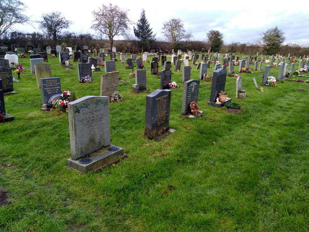
| Memorials | : | 0 |
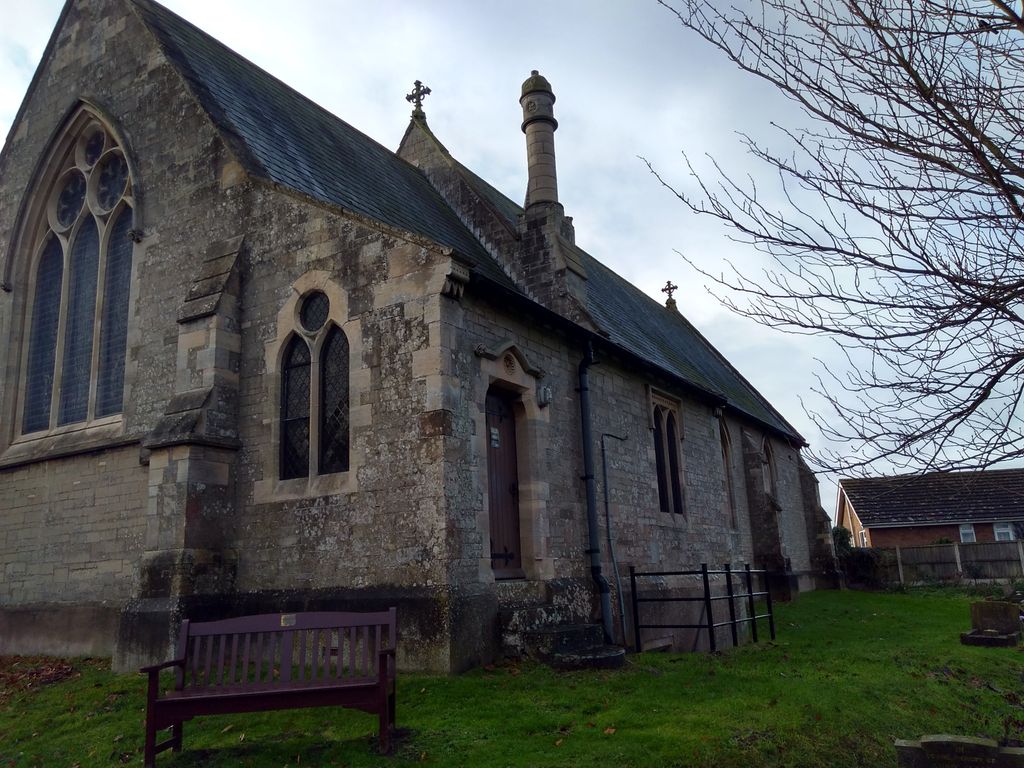
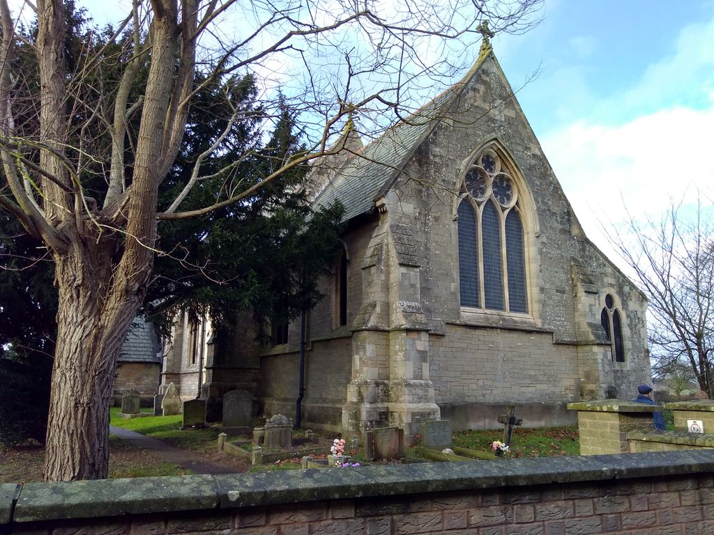
| Location | : | Boughton, Newark and Sherwood District, England |
| Coordinate | : | 53.2089100, -0.9855900 |
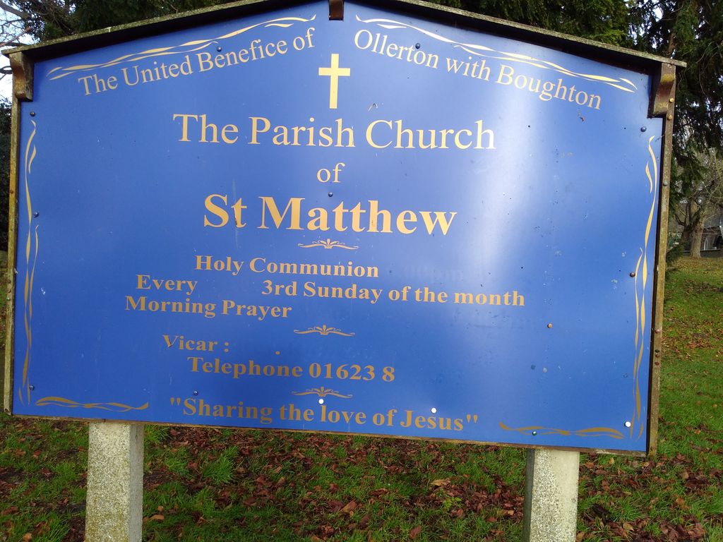
| Description | : | Boughton is a village in Nottinghamshire, England forming part of the civil parish of Ollerton and Boughton. |
frequently asked questions (FAQ):
-
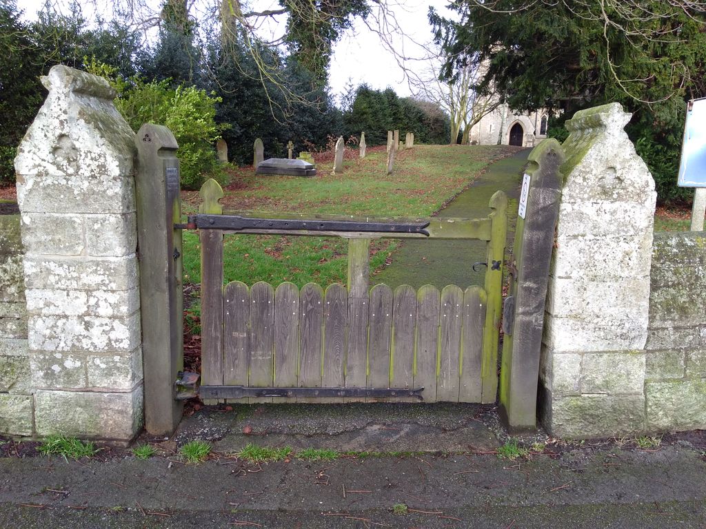
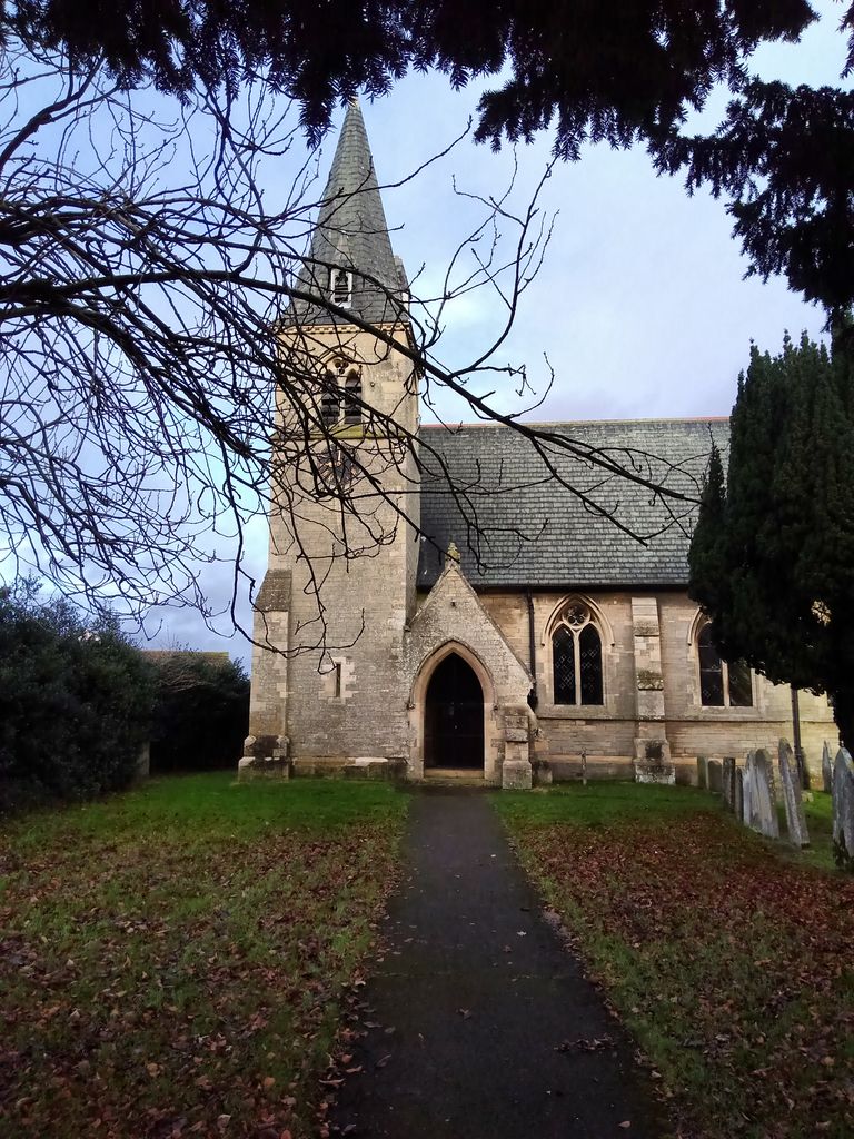
Where is St. Matthew Parish Churchyard?
St. Matthew Parish Churchyard is located at Church Lane Boughton, Newark and Sherwood District ,Nottinghamshire , NG22 9JUEngland.
-
St. Matthew Parish Churchyard cemetery's updated grave count on graveviews.com?
0 memorials
-
Where are the coordinates of the St. Matthew Parish Churchyard?
Latitude: 53.2089100
Longitude: -0.9855900


Nearby Cemetories:
1. Sherwood Forest Crematorium
Ollerton, Newark and Sherwood District, England
Coordinate: 53.2026140, -1.0005390
2. Holy Trinity Churchyard
Kirton, Newark and Sherwood District, England
Coordinate: 53.2170600, -0.9666600
3. Ollerton Cemetery
Ollerton, Newark and Sherwood District, England
Coordinate: 53.2025700, -1.0139900
4. St Swithun's Churchyard
Wellow, Newark and Sherwood District, England
Coordinate: 53.1877400, -0.9977000
5. St Swithun's Churchyard Extension
Wellow, Newark and Sherwood District, England
Coordinate: 53.1873400, -0.9968500
6. St. John the Evangelist Churchyard
Perlethorpe, Newark and Sherwood District, England
Coordinate: 53.2317600, -1.0344800
7. St. John The Evangelist Church
Nottingham Unitary Authority, England
Coordinate: 53.2317530, -1.0345260
8. St Michael the Archangel Churchyard
Laxton, Newark and Sherwood District, England
Coordinate: 53.1958110, -0.9208850
9. St Bartholomew Churchyard
Kneesall, Newark and Sherwood District, England
Coordinate: 53.1702400, -0.9479600
10. St. Mary's Churchyard
Edwinstowe, Newark and Sherwood District, England
Coordinate: 53.1958920, -1.0656390
11. The Forest Cemetery
Edwinstowe, Newark and Sherwood District, England
Coordinate: 53.1990600, -1.0704800
12. Milton Mausoleum Churchyard
Newark and Sherwood District, England
Coordinate: 53.2492330, -0.9297590
13. All Saints Churchyard
West Markham, Bassetlaw District, England
Coordinate: 53.2462040, -0.9203580
14. Church of All Saints Graveyard
West Markham, Bassetlaw District, England
Coordinate: 53.2463000, -0.9203000
15. St Nicholas Churchyard
Tuxford, Bassetlaw District, England
Coordinate: 53.2312300, -0.8979000
16. Tuxford Cemetery
Tuxford, Bassetlaw District, England
Coordinate: 53.2271830, -0.8925790
17. St Paul's Churchyard
West Drayton, Bassetlaw District, England
Coordinate: 53.2649300, -0.9352100
18. St John the Baptist Churchyard
East Markham, Bassetlaw District, England
Coordinate: 53.2457870, -0.8877260
19. St. Peter's Churchyard
Gamston, Bassetlaw District, England
Coordinate: 53.2765100, -0.9385900
20. St. Giles Churchyard
Carburton, Bassetlaw District, England
Coordinate: 53.2530500, -1.0855200
21. St Radegund Churchyard
Maplebeck, Newark and Sherwood District, England
Coordinate: 53.1390300, -0.9385800
22. St Nicholas Churchyard
Askham, Bassetlaw District, England
Coordinate: 53.2668010, -0.8922380
23. All Saints Churchyard
Weston, Newark and Sherwood District, England
Coordinate: 53.2035930, -0.8425490
24. Clipstone Parish Cemetery
Clipstone, Newark and Sherwood District, England
Coordinate: 53.1657350, -1.1171430