
| Memorials | : | 2 |
| Location | : | Ollerton, Newark and Sherwood District, England |
| Coordinate | : | 53.2025700, -1.0139900 |
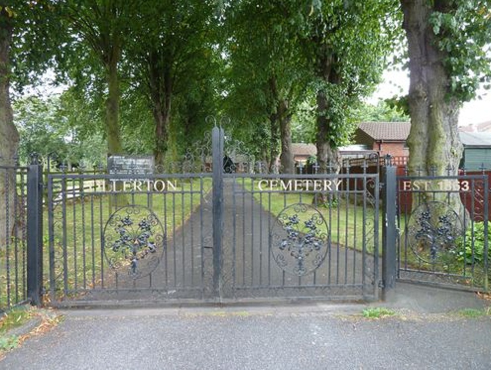
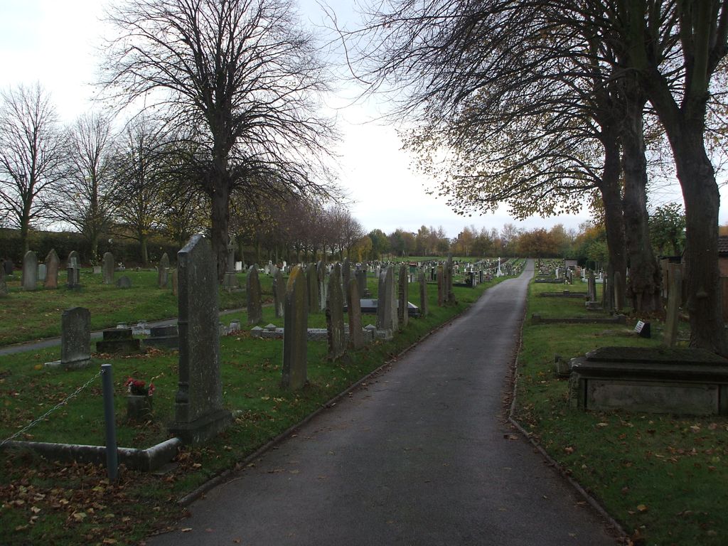
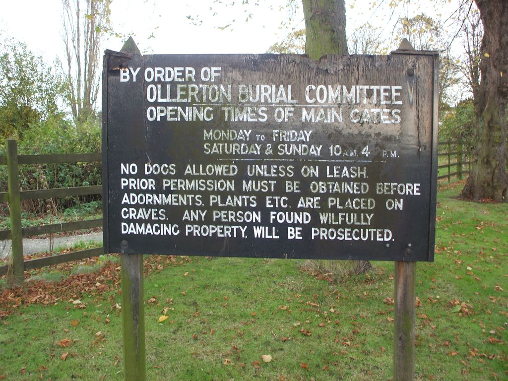
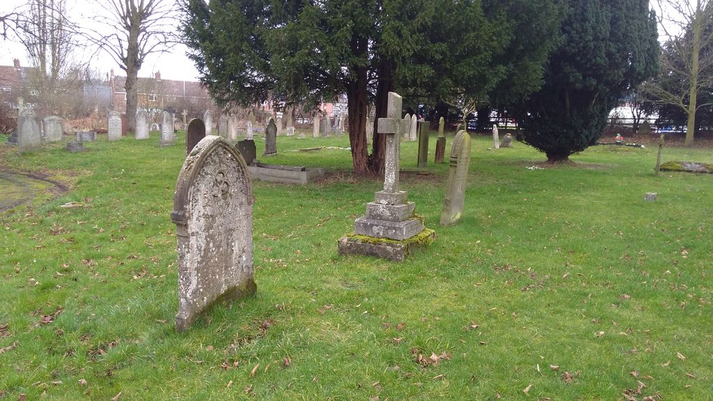
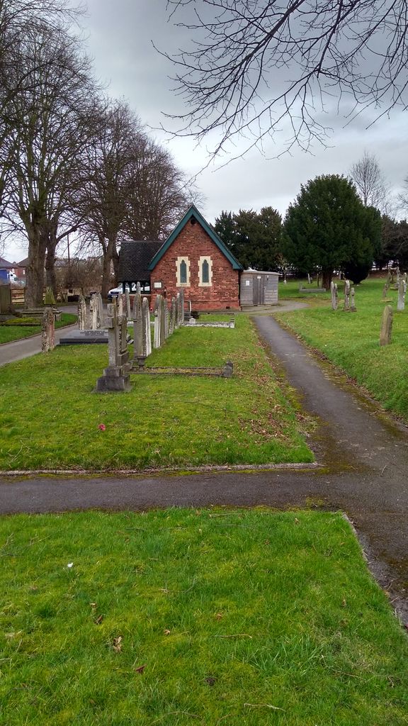
| Description | : | The cemetery opened in 1863, and it was consecrated in October, 1863. There are 22 Commonwealth war graves here and one Dutch war grave. They are all graves of airmen who died during the Second World War. The Cemetery is in the Town of Ollerton and a township-chapelry, in Edwinstowe parish, Notts. The town stands on the river Mann, immediately below the influx of Rainworthwater, near the N border of Sherwood forest, 5½ miles E of a line of railway in course of formation in 1867 from Mansfield to Worksop, and 8½ N E of Mansfield. The cemetery is open... Read More |
frequently asked questions (FAQ):
-
Where is Ollerton Cemetery?
Ollerton Cemetery is located at Forest Road, New Ollerton Ollerton, Newark and Sherwood District ,Nottinghamshire , NG22 9QSEngland.
-
Ollerton Cemetery cemetery's updated grave count on graveviews.com?
2 memorials
-
Where are the coordinates of the Ollerton Cemetery?
Latitude: 53.2025700
Longitude: -1.0139900
Nearby Cemetories:
1. Sherwood Forest Crematorium
Ollerton, Newark and Sherwood District, England
Coordinate: 53.2026140, -1.0005390
2. St Swithun's Churchyard
Wellow, Newark and Sherwood District, England
Coordinate: 53.1877400, -0.9977000
3. St. Matthew Parish Churchyard
Boughton, Newark and Sherwood District, England
Coordinate: 53.2089100, -0.9855900
4. St Swithun's Churchyard Extension
Wellow, Newark and Sherwood District, England
Coordinate: 53.1873400, -0.9968500
5. St. Mary's Churchyard
Edwinstowe, Newark and Sherwood District, England
Coordinate: 53.1958920, -1.0656390
6. St. John the Evangelist Churchyard
Perlethorpe, Newark and Sherwood District, England
Coordinate: 53.2317600, -1.0344800
7. St. John The Evangelist Church
Nottingham Unitary Authority, England
Coordinate: 53.2317530, -1.0345260
8. Holy Trinity Churchyard
Kirton, Newark and Sherwood District, England
Coordinate: 53.2170600, -0.9666600
9. The Forest Cemetery
Edwinstowe, Newark and Sherwood District, England
Coordinate: 53.1990600, -1.0704800
10. St Bartholomew Churchyard
Kneesall, Newark and Sherwood District, England
Coordinate: 53.1702400, -0.9479600
11. St Michael the Archangel Churchyard
Laxton, Newark and Sherwood District, England
Coordinate: 53.1958110, -0.9208850
12. St. Giles Churchyard
Carburton, Bassetlaw District, England
Coordinate: 53.2530500, -1.0855200
13. Milton Mausoleum Churchyard
Newark and Sherwood District, England
Coordinate: 53.2492330, -0.9297590
14. All Saints Churchyard
West Markham, Bassetlaw District, England
Coordinate: 53.2462040, -0.9203580
15. Church of All Saints Graveyard
West Markham, Bassetlaw District, England
Coordinate: 53.2463000, -0.9203000
16. Clipstone Parish Cemetery
Clipstone, Newark and Sherwood District, England
Coordinate: 53.1657350, -1.1171430
17. St Nicholas Churchyard
Tuxford, Bassetlaw District, England
Coordinate: 53.2312300, -0.8979000
18. Tuxford Cemetery
Tuxford, Bassetlaw District, England
Coordinate: 53.2271830, -0.8925790
19. St Radegund Churchyard
Maplebeck, Newark and Sherwood District, England
Coordinate: 53.1390300, -0.9385800
20. St Paul's Churchyard
West Drayton, Bassetlaw District, England
Coordinate: 53.2649300, -0.9352100
21. Warsop Cemetery
Warsop, Mansfield District, England
Coordinate: 53.2160000, -1.1497000
22. St. Peter & St. Paul's Churchyard
Church Warsop, Mansfield District, England
Coordinate: 53.2134000, -1.1511200
23. St. Peter's Churchyard
Gamston, Bassetlaw District, England
Coordinate: 53.2765100, -0.9385900
24. St John the Baptist Churchyard
East Markham, Bassetlaw District, England
Coordinate: 53.2457870, -0.8877260