
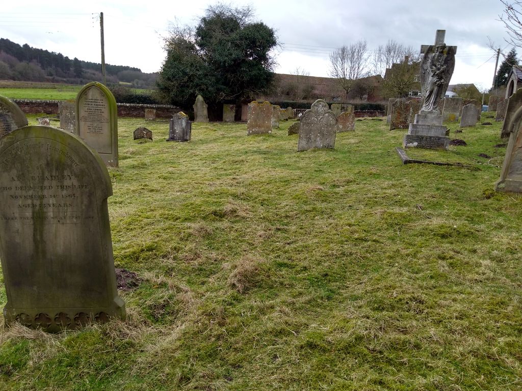
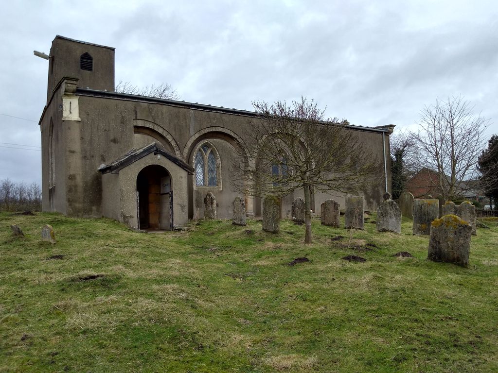
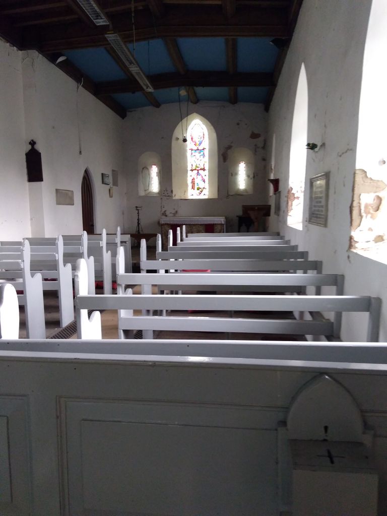
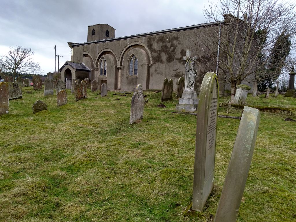
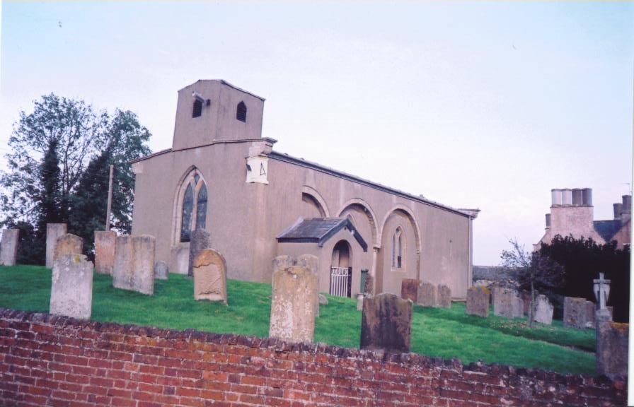
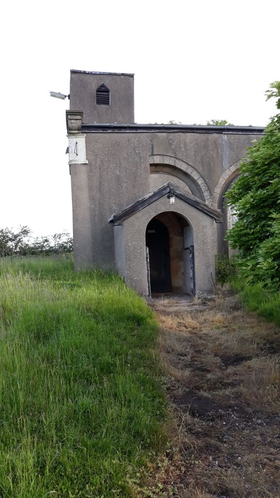
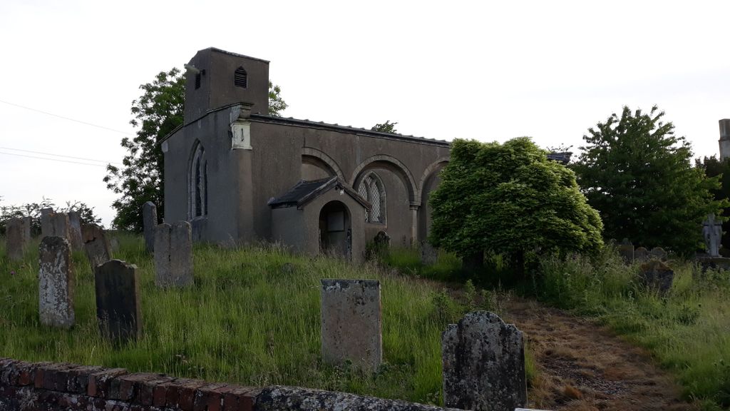
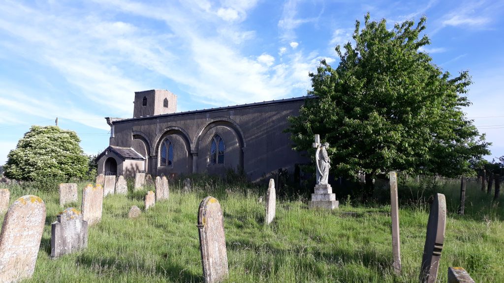
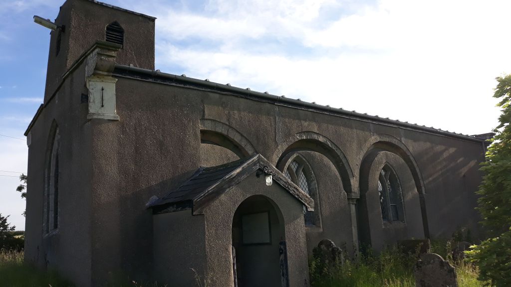
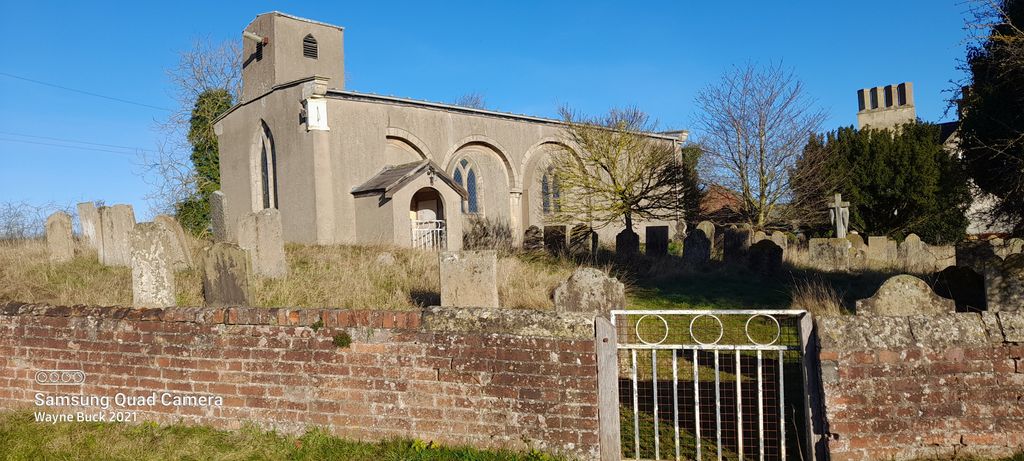
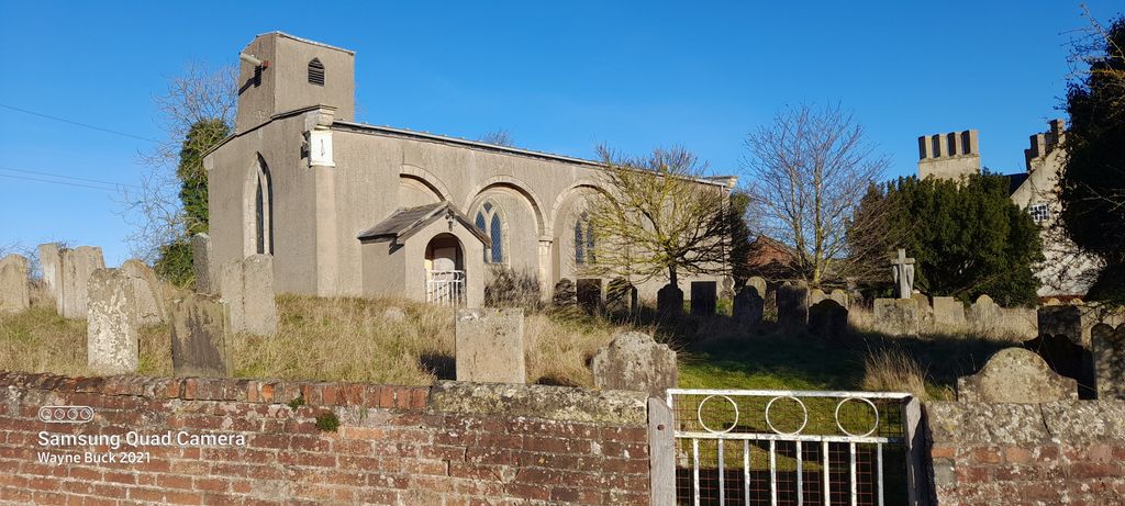
| Memorials | : | 1 |
| Location | : | Carburton, Bassetlaw District, England |
| Coordinate | : | 53.2530500, -1.0855200 |
frequently asked questions (FAQ):
-
Where is St. Giles Churchyard?
St. Giles Churchyard is located at Carburton, Bassetlaw District ,Nottinghamshire ,England.
-
St. Giles Churchyard cemetery's updated grave count on graveviews.com?
1 memorials
-
Where are the coordinates of the St. Giles Churchyard?
Latitude: 53.2530500
Longitude: -1.0855200
Nearby Cemetories:
1. St. John The Evangelist Church
Nottingham Unitary Authority, England
Coordinate: 53.2317530, -1.0345260
2. St. John the Evangelist Churchyard
Perlethorpe, Newark and Sherwood District, England
Coordinate: 53.2317600, -1.0344800
3. St. Mary's Churchyard
Norton, Bassetlaw District, England
Coordinate: 53.2364800, -1.1530400
4. Retford Road Cemetery
Worksop, Bassetlaw District, England
Coordinate: 53.3021540, -1.1010040
5. Warsop Cemetery
Warsop, Mansfield District, England
Coordinate: 53.2160000, -1.1497000
6. Worksop Priory
Worksop, Bassetlaw District, England
Coordinate: 53.3039030, -1.1150690
7. The Forest Cemetery
Edwinstowe, Newark and Sherwood District, England
Coordinate: 53.1990600, -1.0704800
8. St. Peter & St. Paul's Churchyard
Church Warsop, Mansfield District, England
Coordinate: 53.2134000, -1.1511200
9. St. Winifred Churchyard
Holbeck, Bassetlaw District, England
Coordinate: 53.2536780, -1.1817640
10. St. Mary's Churchyard
Edwinstowe, Newark and Sherwood District, England
Coordinate: 53.1958920, -1.0656390
11. St. John the Evangelist Churchyard
Worksop, Bassetlaw District, England
Coordinate: 53.3161600, -1.0584800
12. Ollerton Cemetery
Ollerton, Newark and Sherwood District, England
Coordinate: 53.2025700, -1.0139900
13. Sherwood Forest Crematorium
Ollerton, Newark and Sherwood District, England
Coordinate: 53.2026140, -1.0005390
14. St. Lukes Whaley Thorns Burial Ground
Nether Langwith, Bassetlaw District, England
Coordinate: 53.2383210, -1.2034396
15. St. Matthew Parish Churchyard
Boughton, Newark and Sherwood District, England
Coordinate: 53.2089100, -0.9855900
16. St. Mary Magdalene's Churchyard
Creswell, Bolsover District, England
Coordinate: 53.2630820, -1.2132450
17. St Mary Magdalene Churchyard
Creswell, Stafford Borough, England
Coordinate: 53.2631170, -1.2132800
18. All Saints Chapel
Bolsover District, England
Coordinate: 53.3027370, -1.1859097
19. Holy Trinity Churchyard
Kirton, Newark and Sherwood District, England
Coordinate: 53.2170600, -0.9666600
20. Saint Lawrence Churchyard
Whitwell, Bolsover District, England
Coordinate: 53.2859088, -1.2126154
21. St Swithun's Churchyard
Wellow, Newark and Sherwood District, England
Coordinate: 53.1877400, -0.9977000
22. St Swithun's Churchyard Extension
Wellow, Newark and Sherwood District, England
Coordinate: 53.1873400, -0.9968500
23. Clipstone Parish Cemetery
Clipstone, Newark and Sherwood District, England
Coordinate: 53.1657350, -1.1171430
24. St Paul's Churchyard
West Drayton, Bassetlaw District, England
Coordinate: 53.2649300, -0.9352100