| Memorials | : | 1 |
| Location | : | Haunton, Lichfield District, England |
| Coordinate | : | 52.6946050, -1.6514690 |
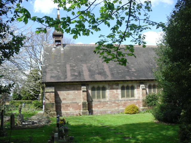
| Description | : | The more recent history of Haunton Hall is closely linked with the Church of St Michael and St James and a community of Roman Catholic nuns. Charles Edward Mousley inherited the hall in the 1840s, and by 1845 had provided a chapel at the hall dedicated to the Immaculate Conception and available for Catholic services. By 1885 a church dedicated to St Michael had replaced the chapel for services. This church had been built with the support of the Squire of Clifton Campville, Henry John Pye, the son in law of the Anglican bishop Samuel Wilberforce. Pye had once been... Read More |
frequently asked questions (FAQ):
-
Where is St Michael & St James Catholic Churchyard?
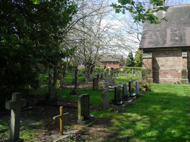
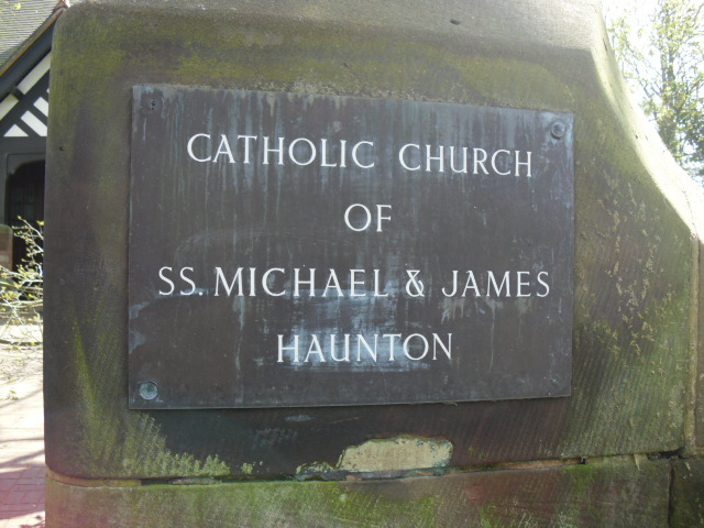
St Michael & St James Catholic Churchyard is located at Haunton, Lichfield District ,Staffordshire ,England.
-
St Michael & St James Catholic Churchyard cemetery's updated grave count on graveviews.com?
1 memorials
-
Where are the coordinates of the St Michael & St James Catholic Churchyard?
Latitude: 52.6946050
Longitude: -1.6514690
Nearby Cemetories:
1. St. Matthew's churchyard
Harlaston, Lichfield District, England
Coordinate: 52.6957682, -1.6832017
2. All Saints Churchyard
Lullington, South Derbyshire District, England
Coordinate: 52.7135620, -1.6316530
3. Chapel of All Saints, Statfold
Thorpe Constantine, Lichfield District, England
Coordinate: 52.6611100, -1.6510330
4. St Leonard Churchyard
Wigginton and Hopwas, Lichfield District, England
Coordinate: 52.6704490, -1.6927530
5. All Saints Churchyard
Seckington, North Warwickshire Borough, England
Coordinate: 52.6638760, -1.6167310
6. St Mary Churchyard
Coton in the Elms, South Derbyshire District, England
Coordinate: 52.7358240, -1.6400740
7. Croxall, St John the Baptist Churchyard
Edingale, Lichfield District, England
Coordinate: 52.7200210, -1.7091480
8. St Matthew Churchyard
Chilcote, North West Leicestershire District, England
Coordinate: 52.6995200, -1.5804990
9. St Peter's Churchyard
Elford, Lichfield District, England
Coordinate: 52.6928330, -1.7274120
10. St Mary the Virgin Churchyard
Newton Regis, North Warwickshire Borough, England
Coordinate: 52.6642390, -1.5886760
11. St Peter Churchyard
Netherseal, South Derbyshire District, England
Coordinate: 52.7128960, -1.5741870
12. St Mary the Virgin Churchyard
No Man's Heath, North Warwickshire Borough, England
Coordinate: 52.6770470, -1.5722540
13. Wigginton Road Cemetery
Tamworth, Tamworth Borough, England
Coordinate: 52.6479590, -1.6928170
14. St. Matthew's Churchyard
Shuttington, North Warwickshire Borough, England
Coordinate: 52.6440000, -1.6244720
15. National Memorial Arboretum
Alrewas, Lichfield District, England
Coordinate: 52.7274040, -1.7324890
16. Amington Cemetery
Amington, Tamworth Borough, England
Coordinate: 52.6356092, -1.6552355
17. St Michael Churchyard
Stretton en le Field, North West Leicestershire District, England
Coordinate: 52.7040970, -1.5516120
18. St. Editha Churchyard
Tamworth, Tamworth Borough, England
Coordinate: 52.6344040, -1.6946000
19. Austrey Baptist Church
Austrey, North Warwickshire Borough, England
Coordinate: 52.6551940, -1.5631710
20. St Nicholas' Churchyard
Austrey, North Warwickshire Borough, England
Coordinate: 52.6534340, -1.5644170
21. Glascote Cemetery
Glascote, Tamworth Borough, England
Coordinate: 52.6290130, -1.6774860
22. St Laurence Churchyard
Walton-on-Trent, South Derbyshire District, England
Coordinate: 52.7613386, -1.6819775
23. Appleby Magna Cemetery
Appleby Magna, North West Leicestershire District, England
Coordinate: 52.6858670, -1.5358910
24. St. Michael and All Angels Churchyard
Appleby Magna, North West Leicestershire District, England
Coordinate: 52.6854410, -1.5353870


