
| Memorials | : | 22 |
| Location | : | Tamworth, Tamworth Borough, England |
| Coordinate | : | 52.6479590, -1.6928170 |
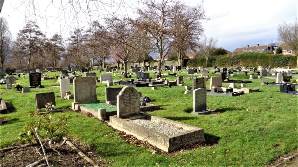
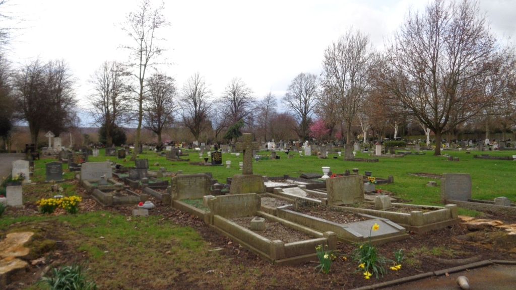
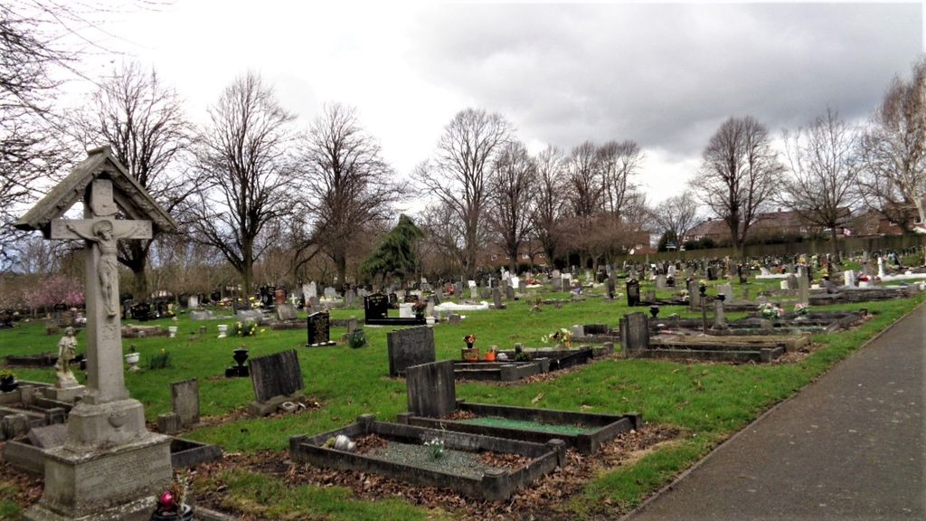
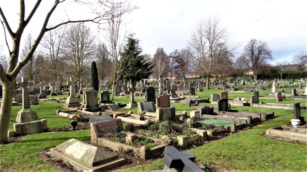
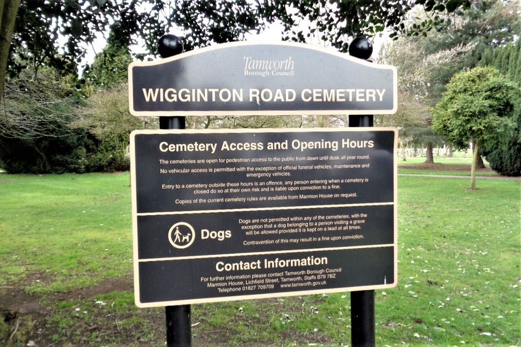
| Description | : | In 1876, St Editha's parish churchyard closed and the cemetery on Wigginton Road cemetery opened. Originally called 'Tamworth Cemetery,' since about 1914 it was renamed 'Wigginton Road Cemetery.' The first burial took place here on December 17, 1876. Grave searches/locates can be requested for any of Tamworth's five cemeteries* by visiting the Borough Council site and completing an online form (fees apply): www.tamworth.gov.uk/health_and_social_care /death_and_bereavement/tamworth_cemeteries.aspx *The five cemeteries are Amington, Glascote, Wigginton Road, Winecote (new), and Winecote (old). |
frequently asked questions (FAQ):
-
Where is Wigginton Road Cemetery?
Wigginton Road Cemetery is located at Wigginton Road Tamworth, Tamworth Borough ,Staffordshire , B79 8RWEngland.
-
Wigginton Road Cemetery cemetery's updated grave count on graveviews.com?
18 memorials
-
Where are the coordinates of the Wigginton Road Cemetery?
Latitude: 52.6479590
Longitude: -1.6928170
Nearby Cemetories:
1. St. Editha Churchyard
Tamworth, Tamworth Borough, England
Coordinate: 52.6344040, -1.6946000
2. Glascote Cemetery
Glascote, Tamworth Borough, England
Coordinate: 52.6290130, -1.6774860
3. St Leonard Churchyard
Wigginton and Hopwas, Lichfield District, England
Coordinate: 52.6704490, -1.6927530
4. Amington Cemetery
Amington, Tamworth Borough, England
Coordinate: 52.6356092, -1.6552355
5. Hopwas Cemetery
Tamworth, Tamworth Borough, England
Coordinate: 52.6417200, -1.7362600
6. Chapel of All Saints, Statfold
Thorpe Constantine, Lichfield District, England
Coordinate: 52.6611100, -1.6510330
7. St Chad's
Tamworth Borough, England
Coordinate: 52.6433000, -1.7418000
8. St. Paul's Churchyard
Fazeley, Lichfield District, England
Coordinate: 52.6128860, -1.7002090
9. Wilnecote New Cemetery
Wilnecote, Tamworth Borough, England
Coordinate: 52.6119140, -1.6716640
10. Wilencote Old Cemetery
Wilnecote, Tamworth Borough, England
Coordinate: 52.6099808, -1.6676261
11. St. Matthew's Churchyard
Shuttington, North Warwickshire Borough, England
Coordinate: 52.6440000, -1.6244720
12. St. Matthew's churchyard
Harlaston, Lichfield District, England
Coordinate: 52.6957682, -1.6832017
13. All Saints Churchyard
Seckington, North Warwickshire Borough, England
Coordinate: 52.6638760, -1.6167310
14. St Peter's Churchyard
Elford, Lichfield District, England
Coordinate: 52.6928330, -1.7274120
15. St Peter Churchyard
Drayton Bassett, Lichfield District, England
Coordinate: 52.5993180, -1.7165990
16. St. Giles' Churchyard
Whittington, Lichfield District, England
Coordinate: 52.6723850, -1.7677160
17. St Bartholomew Churchyard
Hints, Lichfield District, England
Coordinate: 52.6237460, -1.7683840
18. St Michael & St James Catholic Churchyard
Haunton, Lichfield District, England
Coordinate: 52.6946050, -1.6514690
19. Polesworth Abbey Churchyard
Polesworth, North Warwickshire Borough, England
Coordinate: 52.6193460, -1.6115790
20. St Mary the Virgin New Churchyard
Weeford, Lichfield District, England
Coordinate: 52.6330806, -1.7923083
21. St. Mary the Virgin Churchyard
Weeford, Lichfield District, England
Coordinate: 52.6322300, -1.7923200
22. St Mary the Virgin Churchyard
Newton Regis, North Warwickshire Borough, England
Coordinate: 52.6642390, -1.5886760
23. Holy Trinity Churchyard
Warton, North Warwickshire Borough, England
Coordinate: 52.6292929, -1.5865304
24. St Leonard's Churchyard
Dordon, North Warwickshire Borough, England
Coordinate: 52.6004250, -1.6132720