
| Memorials | : | 0 |
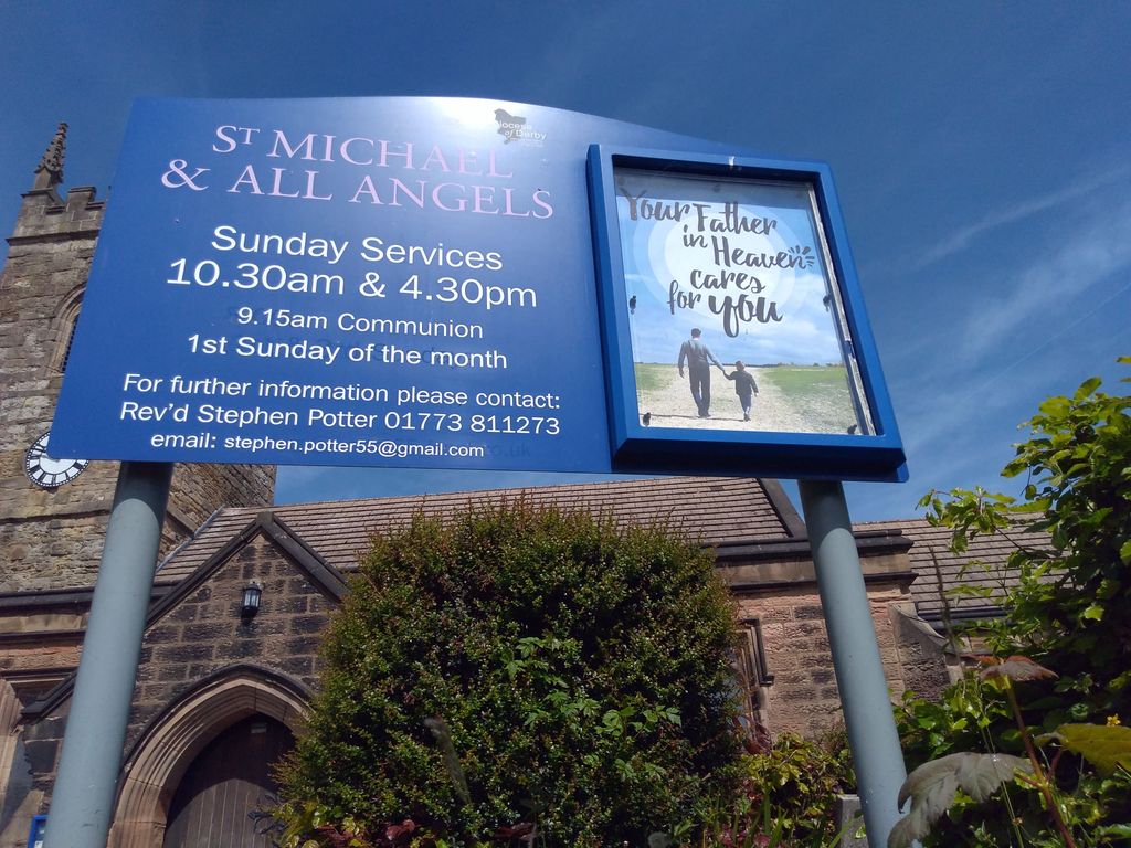
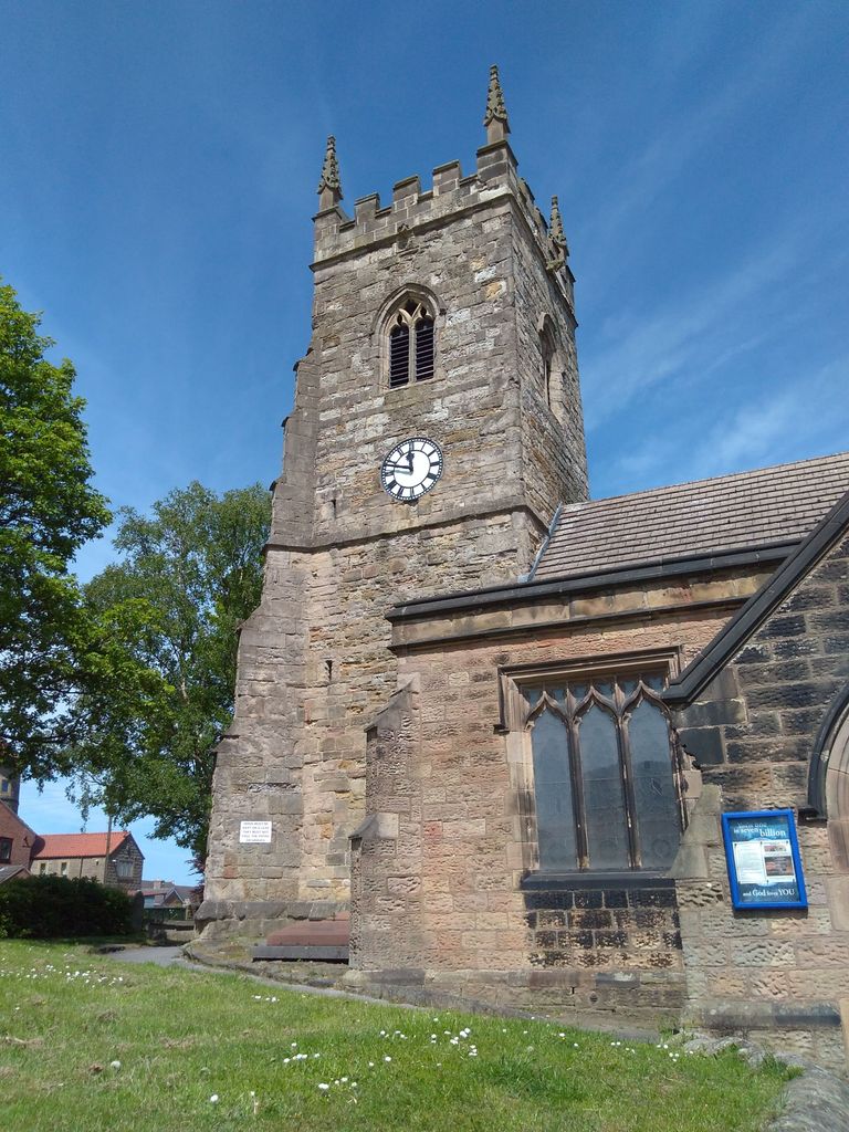
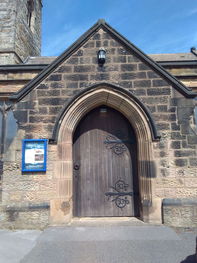
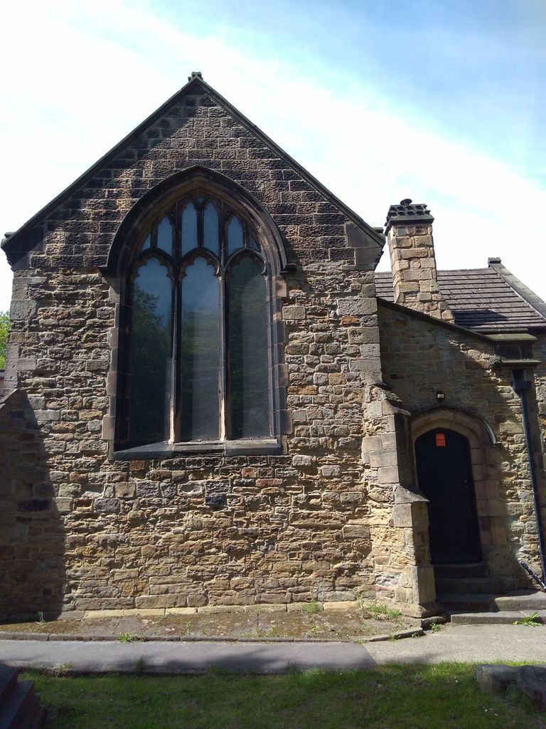
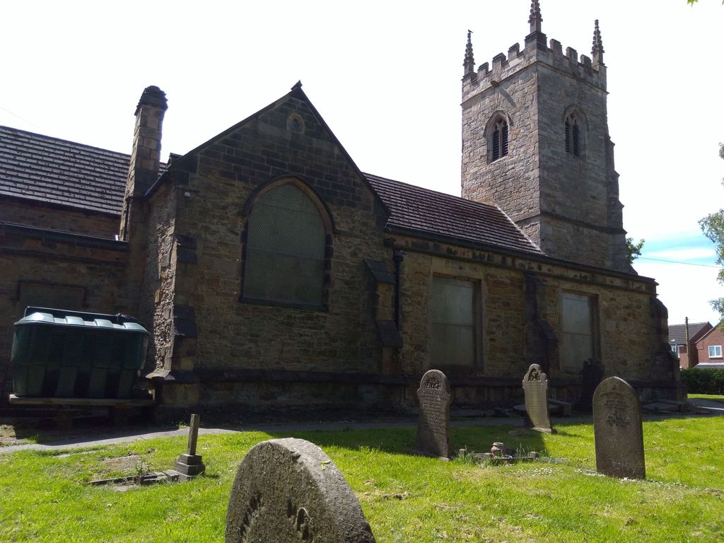
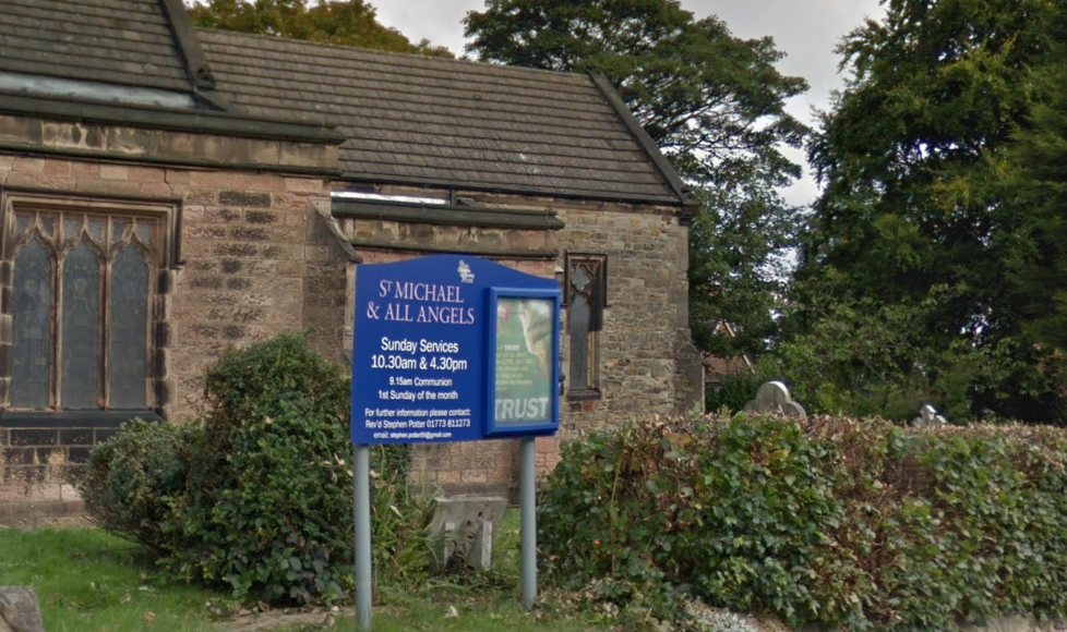
| Location | : | South Normanton, Bolsover District, England |
| Coordinate | : | 53.1091020, -1.3411800 |
frequently asked questions (FAQ):
-
Where is St. Michael and All Angels Churchyard?
St. Michael and All Angels Churchyard is located at South Normanton, Bolsover District ,Derbyshire ,England.
-
St. Michael and All Angels Churchyard cemetery's updated grave count on graveviews.com?
0 memorials
-
Where are the coordinates of the St. Michael and All Angels Churchyard?
Latitude: 53.1091020
Longitude: -1.3411800
Nearby Cemetories:
1. St. Werburgh's Churchyard
Blackwell, Bolsover District, England
Coordinate: 53.1209850, -1.3380680
2. St. Helen's Churchyard
Pinxton, Bolsover District, England
Coordinate: 53.0904510, -1.3243570
3. Alfreton Cemetery
Alfreton, Amber Valley Borough, England
Coordinate: 53.0998050, -1.3853550
4. Tibshelf Parish Cemetery
Tibshelf, Bolsover District, England
Coordinate: 53.1379378, -1.3628144
5. St. Martin's Churchyard
Alfreton, Amber Valley Borough, England
Coordinate: 53.0986500, -1.3931700
6. St. Thomas' Churchyard
Somercotes, Amber Valley Borough, England
Coordinate: 53.0798171, -1.3687464
7. St. John the Baptist Churchyard
Tibshelf, Bolsover District, England
Coordinate: 53.1431860, -1.3427080
8. Leabrooks Cemetery
Leabrooks, Amber Valley Borough, England
Coordinate: 53.0770590, -1.3757380
9. St. Leonard Churchyard
Shirland, North East Derbyshire District, England
Coordinate: 53.1217950, -1.4042010
10. St. James's Churchyard
Riddings, Amber Valley Borough, England
Coordinate: 53.0702500, -1.3618710
11. Sutton Cemetery
Sutton-in-Ashfield, Ashfield District, England
Coordinate: 53.1238890, -1.2714690
12. St. Wilfrid's Churchyard Extension
Kirkby-in-Ashfield, Ashfield District, England
Coordinate: 53.0975000, -1.2693400
13. St. Mary Magdalene Churchyard
Sutton-in-Ashfield, Ashfield District, England
Coordinate: 53.1255500, -1.2700820
14. Christ Church Churchyard
Ironville, Amber Valley Borough, England
Coordinate: 53.0628250, -1.3508600
15. St. Mary's Churchyard
Jacksdale, Ashfield District, England
Coordinate: 53.0577660, -1.3326300
16. All Saints Churchyard
South Wingfield, Amber Valley Borough, England
Coordinate: 53.0977640, -1.4291210
17. Saint Andrew's Parish Churchyard
Skegby, Ashfield District, England
Coordinate: 53.1429900, -1.2661100
18. Kingsway Old Cemetery
Kirkby-in-Ashfield, Ashfield District, England
Coordinate: 53.0936690, -1.2427970
19. Kingsway New Cemetery
Kirkby-in-Ashfield, Ashfield District, England
Coordinate: 53.0917070, -1.2422500
20. St. Matthew's Churchyard
Pentrich, Amber Valley Borough, England
Coordinate: 53.0690080, -1.4201570
21. Holy Trinity Churchyard
Brackenfield, North East Derbyshire District, England
Coordinate: 53.1268949, -1.4443555
22. Clay Cross Cemetery
Clay Cross, North East Derbyshire District, England
Coordinate: 53.1612080, -1.4072540
23. Annesley and Felley
Annesley, Ashfield District, England
Coordinate: 53.0771910, -1.2407140
24. Wingfield Park
South Wingfield, Amber Valley Borough, England
Coordinate: 53.0800910, -1.4450070