
| Memorials | : | 0 |
| Location | : | Alfreton, Amber Valley Borough, England |
| Coordinate | : | 53.0998050, -1.3853550 |
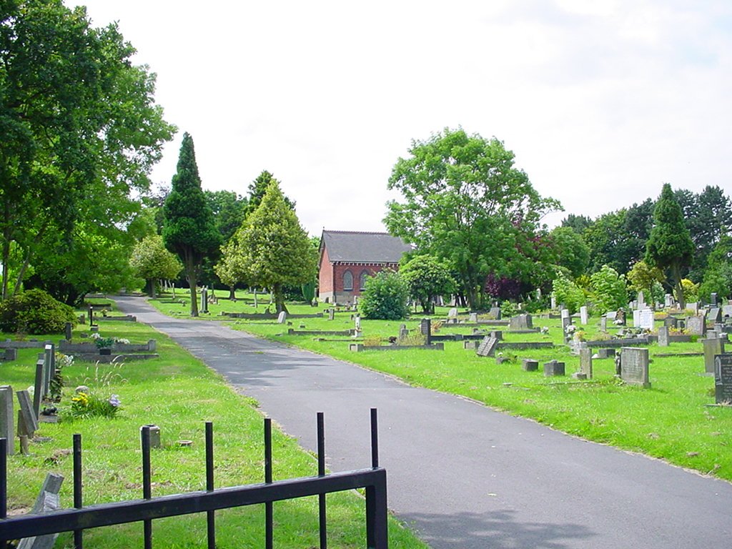
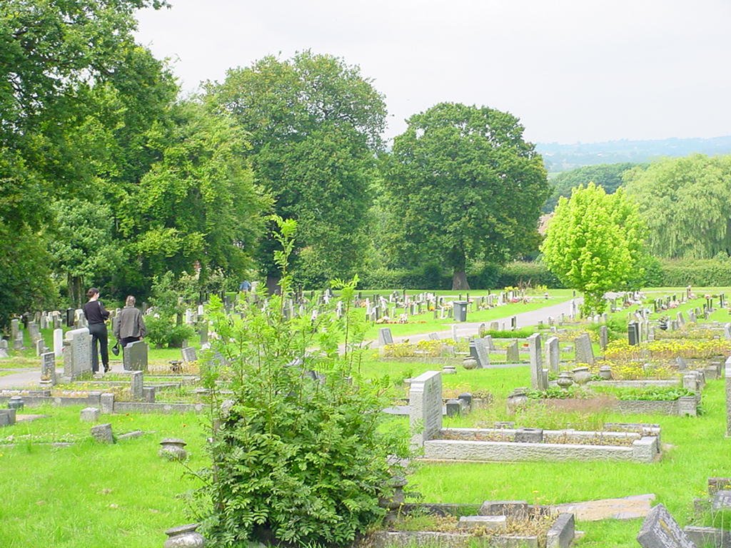
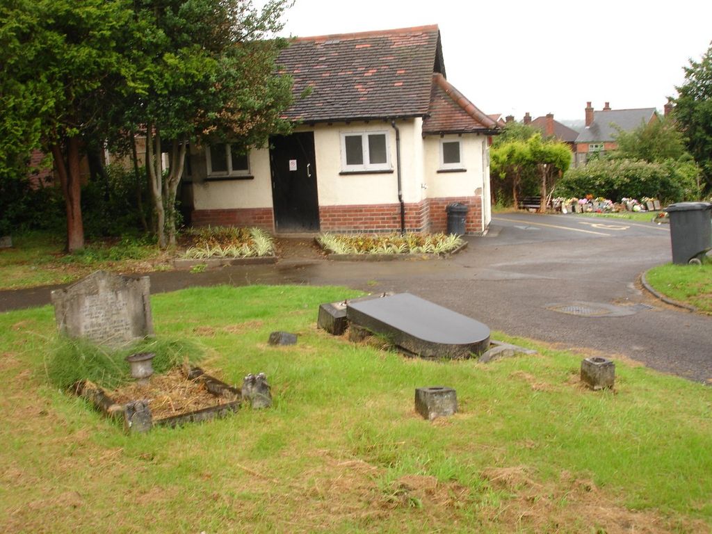
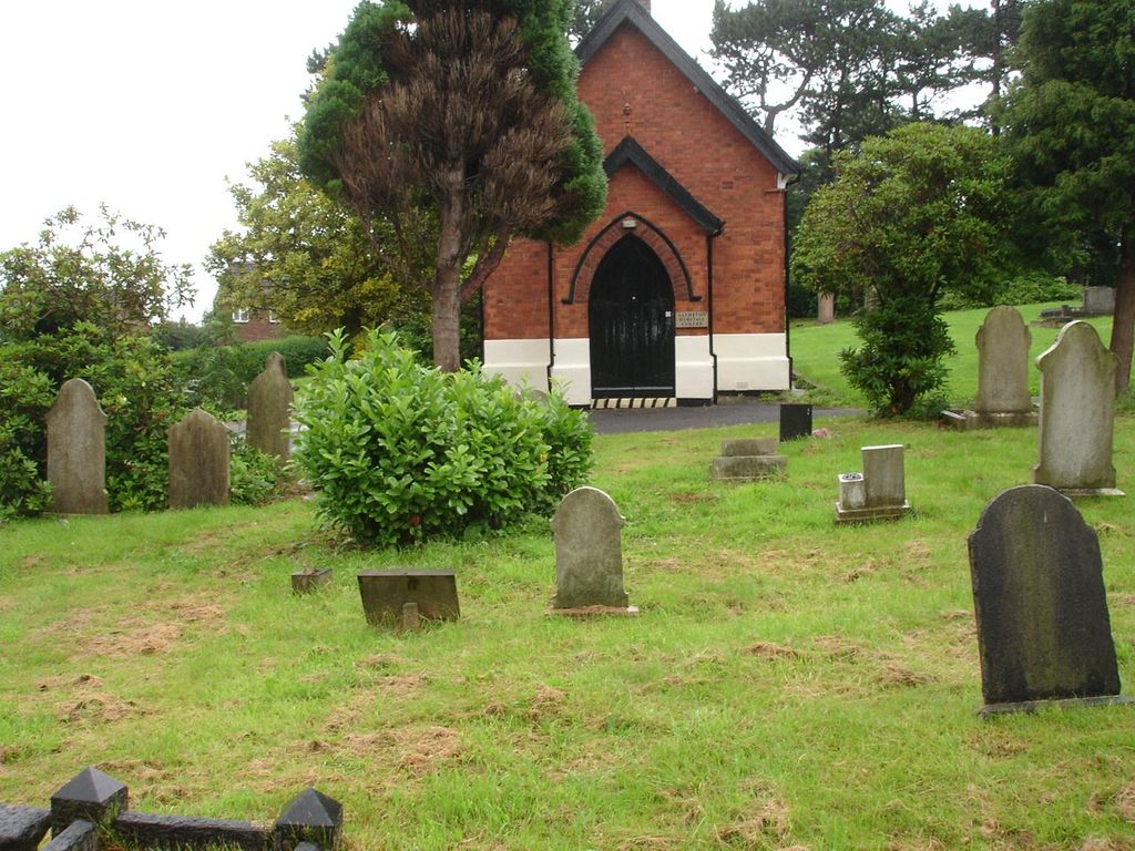
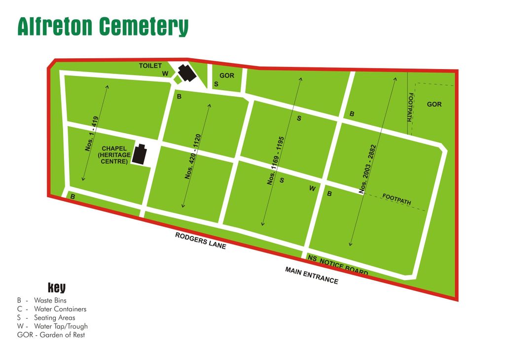
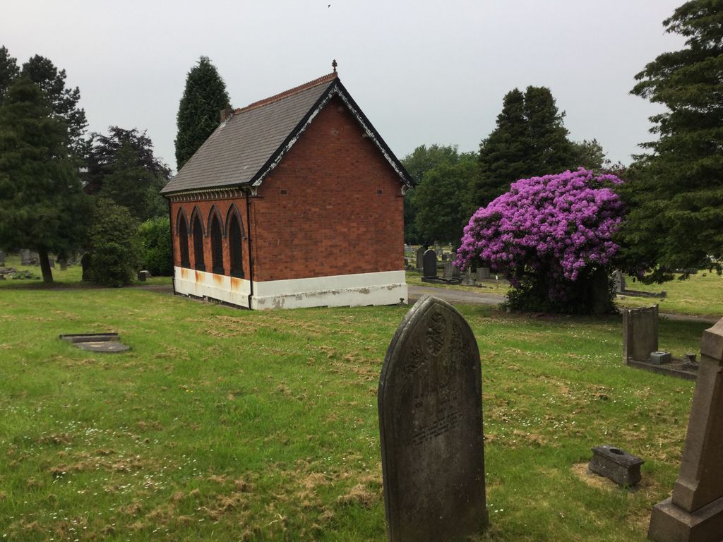
| Description | : | Alfreton Cemetery was established in 1891. The chapel building on the cemetery grounds was referred to as Cemetery Chapel or Mortuary Chapel in early texts. It is now the Alfreton Heritage Centre and is no longer used as a chapel. The cemetery is managed by the Amber Valley Borough Council. |
frequently asked questions (FAQ):
-
Where is Alfreton Cemetery?
Alfreton Cemetery is located at Rodgers Lane Alfreton, Amber Valley Borough ,Derbyshire , DE55 7FFEngland.
-
Alfreton Cemetery cemetery's updated grave count on graveviews.com?
0 memorials
-
Where are the coordinates of the Alfreton Cemetery?
Latitude: 53.0998050
Longitude: -1.3853550

Nearby Cemetories:
1. St. Martin's Churchyard
Alfreton, Amber Valley Borough, England
Coordinate: 53.0986500, -1.3931700
2. St. Thomas' Churchyard
Somercotes, Amber Valley Borough, England
Coordinate: 53.0798171, -1.3687464
3. Leabrooks Cemetery
Leabrooks, Amber Valley Borough, England
Coordinate: 53.0770590, -1.3757380
4. St. Leonard Churchyard
Shirland, North East Derbyshire District, England
Coordinate: 53.1217950, -1.4042010
5. All Saints Churchyard
South Wingfield, Amber Valley Borough, England
Coordinate: 53.0977640, -1.4291210
6. St. Michael and All Angels Churchyard
South Normanton, Bolsover District, England
Coordinate: 53.1091020, -1.3411800
7. St. James's Churchyard
Riddings, Amber Valley Borough, England
Coordinate: 53.0702500, -1.3618710
8. St. Werburgh's Churchyard
Blackwell, Bolsover District, England
Coordinate: 53.1209850, -1.3380680
9. St. Matthew's Churchyard
Pentrich, Amber Valley Borough, England
Coordinate: 53.0690080, -1.4201570
10. St. Helen's Churchyard
Pinxton, Bolsover District, England
Coordinate: 53.0904510, -1.3243570
11. Tibshelf Parish Cemetery
Tibshelf, Bolsover District, England
Coordinate: 53.1379378, -1.3628144
12. Wingfield Park
South Wingfield, Amber Valley Borough, England
Coordinate: 53.0800910, -1.4450070
13. Christ Church Churchyard
Ironville, Amber Valley Borough, England
Coordinate: 53.0628250, -1.3508600
14. Holy Trinity Churchyard
Brackenfield, North East Derbyshire District, England
Coordinate: 53.1268949, -1.4443555
15. St. John the Baptist Churchyard
Tibshelf, Bolsover District, England
Coordinate: 53.1431860, -1.3427080
16. St. Mary's Churchyard
Jacksdale, Ashfield District, England
Coordinate: 53.0577660, -1.3326300
17. Ripley Cemetery
Ripley, Amber Valley Borough, England
Coordinate: 53.0457260, -1.4038020
18. Saint Mary's Churchyard
Crich, Amber Valley Borough, England
Coordinate: 53.0880100, -1.4819100
19. St Luke Churchyard
Heage, Amber Valley Borough, England
Coordinate: 53.0516130, -1.4500690
20. St. Luke's Churchyard
Heage, Amber Valley Borough, England
Coordinate: 53.0516000, -1.4500700
21. St Luke's Heage
Belper, Amber Valley Borough, England
Coordinate: 53.0516040, -1.4501580
22. Clay Cross Cemetery
Clay Cross, North East Derbyshire District, England
Coordinate: 53.1612080, -1.4072540
23. St. James' Churchyard
Codnor, Amber Valley Borough, England
Coordinate: 53.0343350, -1.3772720
24. Crosshill Cemetery
Codnor, Amber Valley Borough, England
Coordinate: 53.0329710, -1.3764590