
| Memorials | : | 0 |
| Location | : | Stourport-on-Severn, Wyre Forest District, England |
| Coordinate | : | 52.3439740, -2.2739450 |
frequently asked questions (FAQ):
-
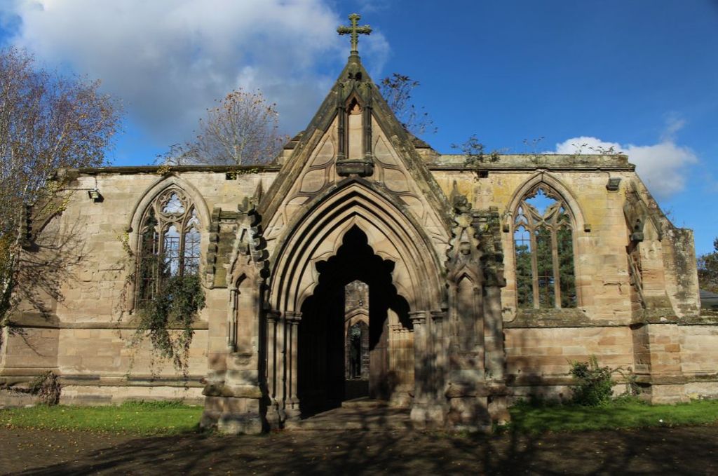
Where is St. Michael and All Angels Churchyard?
St. Michael and All Angels Churchyard is located at Church Drive Stourport-on-Severn, Wyre Forest District ,Worcestershire ,England.
-
St. Michael and All Angels Churchyard cemetery's updated grave count on graveviews.com?
0 memorials
-
Where are the coordinates of the St. Michael and All Angels Churchyard?
Latitude: 52.3439740
Longitude: -2.2739450
Nearby Cemetories:
1. All Saints Churchyard
Wilden, Wyre Forest District, England
Coordinate: 52.3475930, -2.2596890
2. Wyre Forest Crematorium & Cemetery
Stourport-on-Severn, Wyre Forest District, England
Coordinate: 52.3575720, -2.2680900
3. St. Bartholomew Churchyard
Stourport-on-Severn, Wyre Forest District, England
Coordinate: 52.3259275, -2.2804157
4. St James Churchyard
Hartlebury, Wychavon District, England
Coordinate: 52.3358770, -2.2353530
5. St Leonard's Churchyard
Ribbesford, Wyre Forest District, England
Coordinate: 52.3640200, -2.3147800
6. St. Mary's Churchyard
Crossway Green, Wychavon District, England
Coordinate: 52.3167100, -2.2368100
7. All Saints Churchyard
Bewdley, Wyre Forest District, England
Coordinate: 52.3785910, -2.3056640
8. Kidderminster Cemetery
Kidderminster, Wyre Forest District, England
Coordinate: 52.3838330, -2.2521340
9. St Giles Churchyard
Heightington, Wyre Forest District, England
Coordinate: 52.3380600, -2.3425800
10. St John the Baptist Churchyard
Kidderminster, Wyre Forest District, England
Coordinate: 52.3870500, -2.2612100
11. St Peter Churchyard
Astley, Malvern Hills District, England
Coordinate: 52.3061830, -2.3130400
12. Priory Church of St. Peter
Astley, Malvern Hills District, England
Coordinate: 52.3056488, -2.3145461
13. St. Mary and All Saints Churchyard
Kidderminster, Wyre Forest District, England
Coordinate: 52.3902820, -2.2510700
14. St. Michael's Churchyard
Elmley Lovett, Wychavon District, England
Coordinate: 52.3192835, -2.2031819
15. St George Churchyard
Kidderminster, Wyre Forest District, England
Coordinate: 52.3903090, -2.2425290
16. St. Mary the Virgin Churchyard
Stone, Wyre Forest District, England
Coordinate: 52.3721100, -2.2046900
17. St Andrews Churchyard
Bewdley, Wyre Forest District, England
Coordinate: 52.3851154, -2.3254050
18. St Marys Churchyard
Harvington, Wyre Forest District, England
Coordinate: 52.3677780, -2.1808330
19. St. Michael's Churchyard
Rushock, Wyre Forest District, England
Coordinate: 52.3386730, -2.1708700
20. St Mary Churchyard
Shrawley, Malvern Hills District, England
Coordinate: 52.2809100, -2.2857100
21. St. Michael's Churchyard
Abberley, Malvern Hills District, England
Coordinate: 52.3083500, -2.3628600
22. St. Mary's Churchyard
Abberley, Malvern Hills District, England
Coordinate: 52.3095380, -2.3656130
23. St. Mary's Churchyard
Doverdale, Wychavon District, England
Coordinate: 52.2922300, -2.2064500
24. Holy Trinity Churchyard
Trimpley, Wyre Forest District, England
Coordinate: 52.4068300, -2.3111690