
| Memorials | : | 0 |
| Location | : | Stone, Wyre Forest District, England |
| Website | : | kidderminstereast.org.uk/category/st-marys/ |
| Coordinate | : | 52.3721100, -2.2046900 |
frequently asked questions (FAQ):
-
Where is St. Mary the Virgin Churchyard?
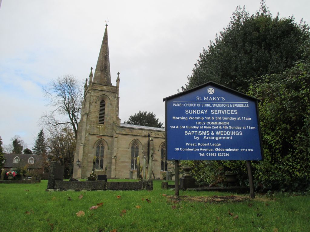
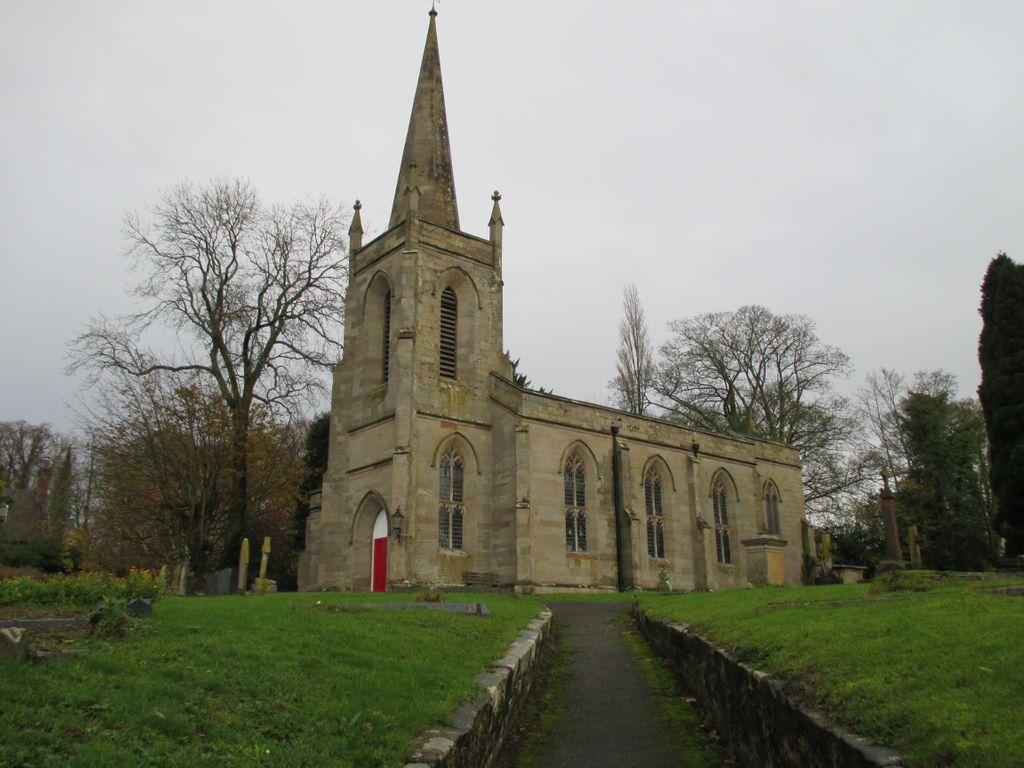
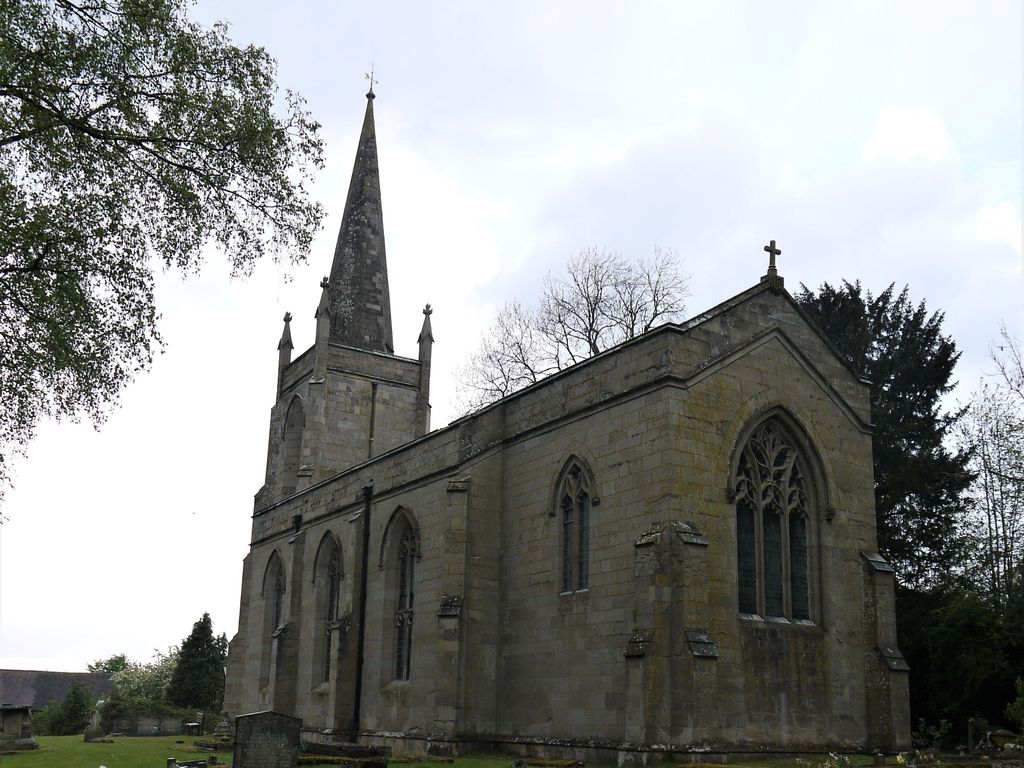
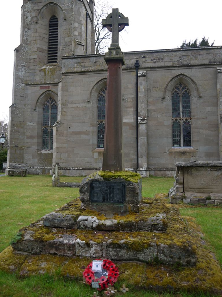
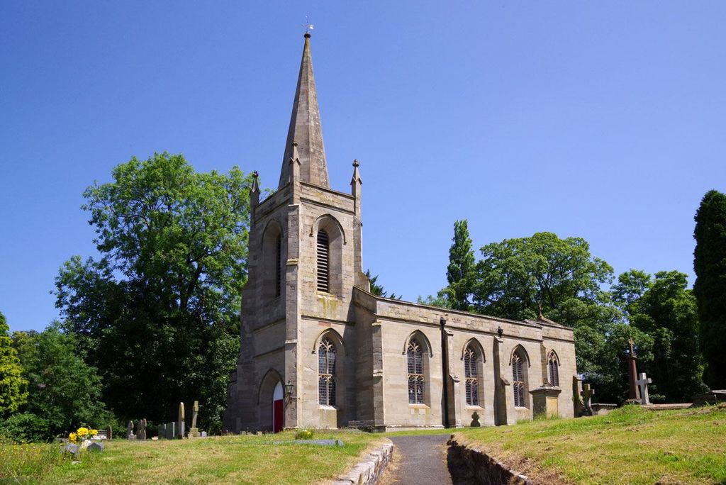
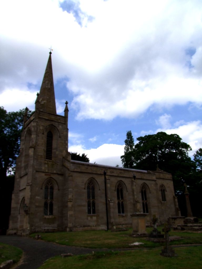
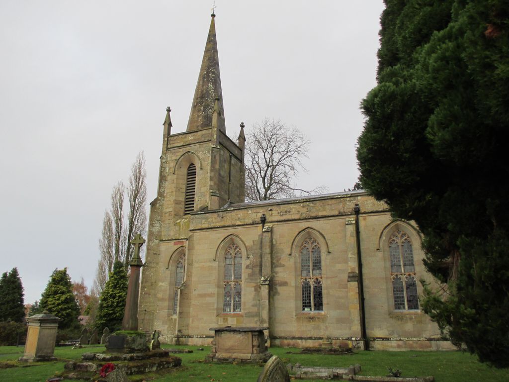
St. Mary the Virgin Churchyard is located at Stone Hill Stone, Wyre Forest District ,Worcestershire , DY10 4BEEngland.
-
St. Mary the Virgin Churchyard cemetery's updated grave count on graveviews.com?
0 memorials
-
Where are the coordinates of the St. Mary the Virgin Churchyard?
Latitude: 52.3721100
Longitude: -2.2046900
Nearby Cemetories:
1. St Marys Churchyard
Harvington, Wyre Forest District, England
Coordinate: 52.3677780, -2.1808330
2. St. Cassian's Churchyard
Chaddesley Corbett, Wyre Forest District, England
Coordinate: 52.3603300, -2.1610400
3. St George Churchyard
Kidderminster, Wyre Forest District, England
Coordinate: 52.3903090, -2.2425290
4. Kidderminster Cemetery
Kidderminster, Wyre Forest District, England
Coordinate: 52.3838330, -2.2521340
5. St. Mary and All Saints Churchyard
Kidderminster, Wyre Forest District, England
Coordinate: 52.3902820, -2.2510700
6. St John the Baptist Churchyard
Kidderminster, Wyre Forest District, England
Coordinate: 52.3870500, -2.2612100
7. St. James The Great Churchyard
Blakedown, Wyre Forest District, England
Coordinate: 52.4052560, -2.1755792
8. St. Michael's Churchyard
Rushock, Wyre Forest District, England
Coordinate: 52.3386730, -2.1708700
9. St James Churchyard
Hartlebury, Wychavon District, England
Coordinate: 52.3358770, -2.2353530
10. Wyre Forest Crematorium & Cemetery
Stourport-on-Severn, Wyre Forest District, England
Coordinate: 52.3575720, -2.2680900
11. All Saints Churchyard
Wilden, Wyre Forest District, England
Coordinate: 52.3475930, -2.2596890
12. St James the Great Churchyard
Churchill, Wyre Forest District, England
Coordinate: 52.4120960, -2.1782860
13. St. Peter's Churchyard
Broome, Wyre Forest District, England
Coordinate: 52.4038450, -2.1453780
14. St John the Baptist Churchyard
Wolverley, Wyre Forest District, England
Coordinate: 52.4115868, -2.2533950
15. St. Peter's Churchyard
Cookley, Wyre Forest District, England
Coordinate: 52.4193280, -2.2334370
16. St. Michael and All Angels Churchyard
Stourport-on-Severn, Wyre Forest District, England
Coordinate: 52.3439740, -2.2739450
17. St. Michael's Churchyard
Elmley Lovett, Wychavon District, England
Coordinate: 52.3192835, -2.2031819
18. Holy Trinity Churchyard
Belbroughton, Bromsgrove District, England
Coordinate: 52.3897160, -2.1203190
19. St. Mary's Churchyard
Crossway Green, Wychavon District, England
Coordinate: 52.3167100, -2.2368100
20. All Saints Churchyard
Bewdley, Wyre Forest District, England
Coordinate: 52.3785910, -2.3056640
21. Hagley Cemetery
Hagley, Bromsgrove District, England
Coordinate: 52.4215800, -2.1391200
22. St. Bartholomew Churchyard
Stourport-on-Severn, Wyre Forest District, England
Coordinate: 52.3259275, -2.2804157
23. Holy Trinity and St Mary Churchyard
Dodford, Bromsgrove District, England
Coordinate: 52.3503000, -2.1011200
24. St Leonard's Churchyard
Ribbesford, Wyre Forest District, England
Coordinate: 52.3640200, -2.3147800