
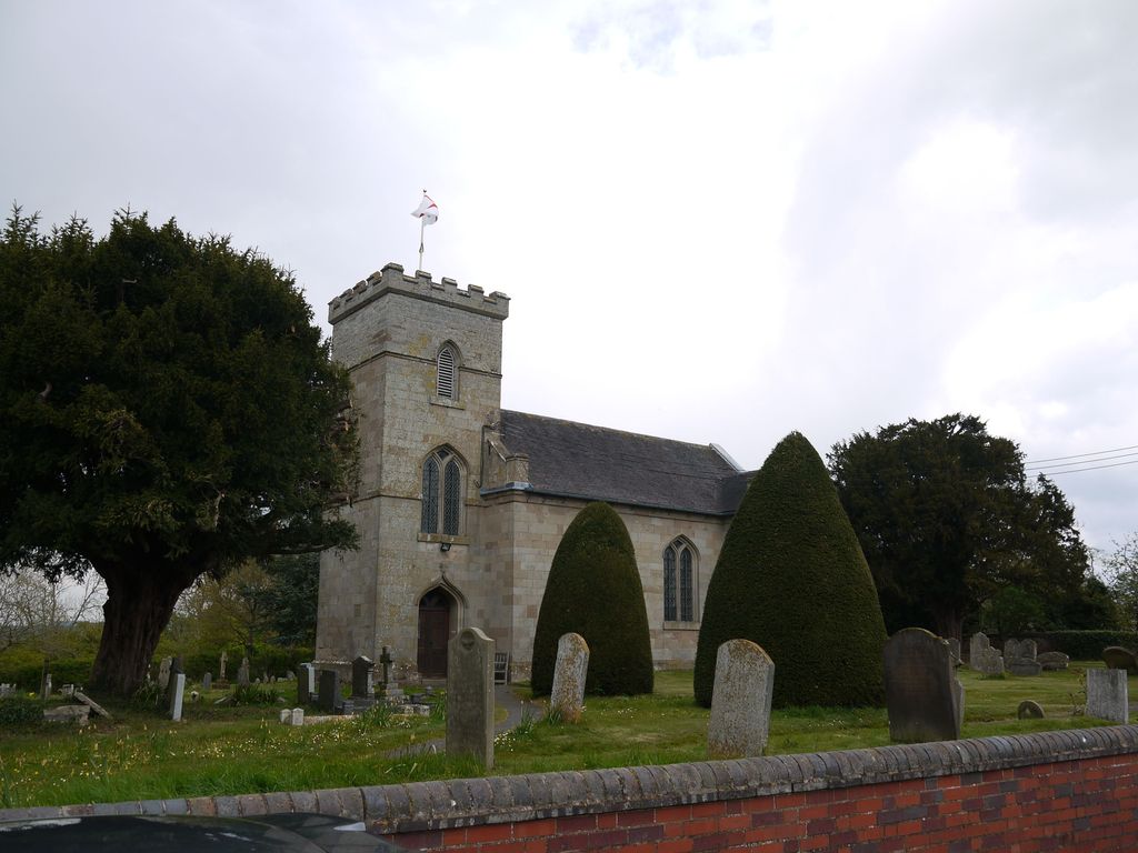
| Memorials | : | 0 |
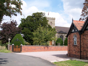
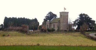
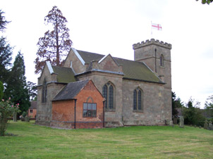
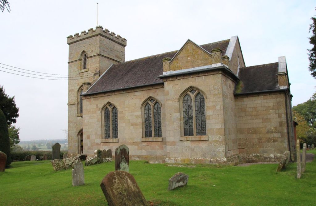
| Location | : | Rushock, Wyre Forest District, England |
| Coordinate | : | 52.3386730, -2.1708700 |
frequently asked questions (FAQ):
-
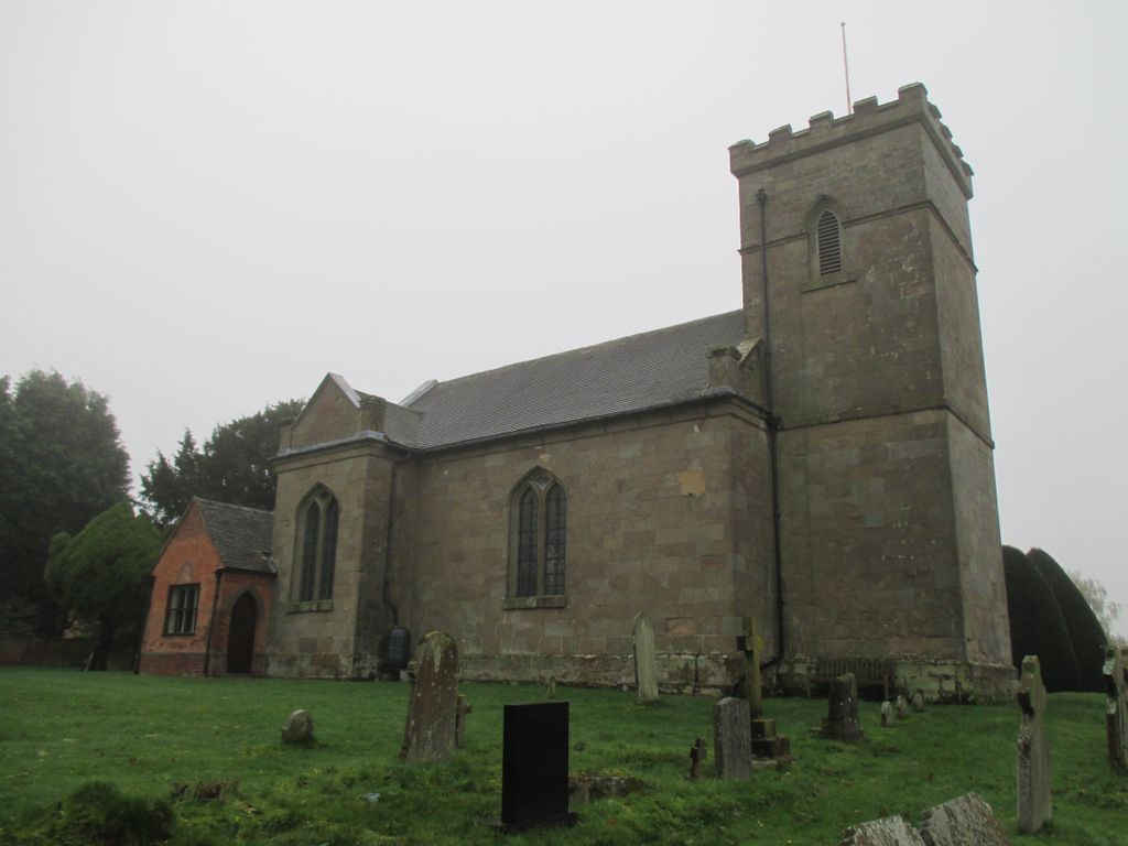
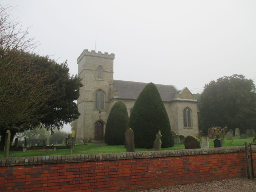
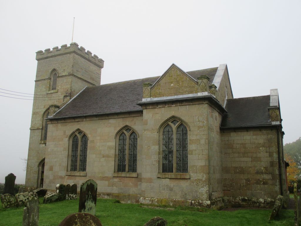
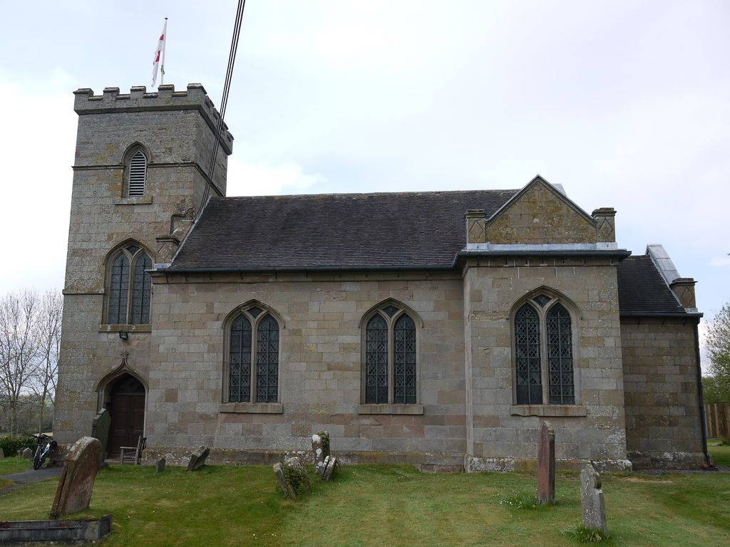
Where is St. Michael's Churchyard?
St. Michael's Churchyard is located at Church Hill Rushock, Wyre Forest District ,Worcestershire , WR9 0NPEngland.
-
St. Michael's Churchyard cemetery's updated grave count on graveviews.com?
0 memorials
-
Where are the coordinates of the St. Michael's Churchyard?
Latitude: 52.3386730
Longitude: -2.1708700


Nearby Cemetories:
1. St. Cassian's Churchyard
Chaddesley Corbett, Wyre Forest District, England
Coordinate: 52.3603300, -2.1610400
2. St. Michael's Churchyard
Elmley Lovett, Wychavon District, England
Coordinate: 52.3192835, -2.2031819
3. St Marys Churchyard
Harvington, Wyre Forest District, England
Coordinate: 52.3677780, -2.1808330
4. St. Mary's Churchyard
Elmbridge, Wychavon District, England
Coordinate: 52.3088400, -2.1490800
5. St. Mary the Virgin Churchyard
Stone, Wyre Forest District, England
Coordinate: 52.3721100, -2.2046900
6. St James Churchyard
Hartlebury, Wychavon District, England
Coordinate: 52.3358770, -2.2353530
7. Holy Trinity and St Mary Churchyard
Dodford, Bromsgrove District, England
Coordinate: 52.3503000, -2.1011200
8. St. Mary's Churchyard
Crossway Green, Wychavon District, England
Coordinate: 52.3167100, -2.2368100
9. St. Mary & All Saints Churchyard
Hampton Lovett, Wychavon District, England
Coordinate: 52.2885000, -2.1641400
10. St. Mary's Churchyard
Doverdale, Wychavon District, England
Coordinate: 52.2922300, -2.2064500
11. St. Michael's Churchyard
Upton Warren, Wychavon District, England
Coordinate: 52.3053500, -2.1030600
12. All Saints Churchyard
Wilden, Wyre Forest District, England
Coordinate: 52.3475930, -2.2596890
13. Holy Trinity Churchyard
Belbroughton, Bromsgrove District, England
Coordinate: 52.3897160, -2.1203190
14. Wyre Forest Crematorium & Cemetery
Stourport-on-Severn, Wyre Forest District, England
Coordinate: 52.3575720, -2.2680900
15. St. Peter's Churchyard
Bromsgrove, Bromsgrove District, England
Coordinate: 52.3266220, -2.0706270
16. St. Mary de Wyche Churchyard
Wychbold, Wychavon District, England
Coordinate: 52.2910500, -2.1047300
17. St. Michael and All Angels Churchyard
Stourport-on-Severn, Wyre Forest District, England
Coordinate: 52.3439740, -2.2739450
18. Bromsgrove New Cemetery
Bromsgrove, Bromsgrove District, England
Coordinate: 52.3363100, -2.0674300
19. Bromsgrove Cemetery
Bromsgrove, Bromsgrove District, England
Coordinate: 52.3349750, -2.0654960
20. St John the Baptist Churchyard
Bromsgrove, Bromsgrove District, England
Coordinate: 52.3343560, -2.0645280
21. Bromsgrove Friends Burial Ground
Bromsgrove, Bromsgrove District, England
Coordinate: 52.3338169, -2.0635085
22. St. Michaels & All Angels Churchyard
Stoke Prior, Bromsgrove District, England
Coordinate: 52.3073925, -2.0757422
23. St. James The Great Churchyard
Blakedown, Wyre Forest District, England
Coordinate: 52.4052560, -2.1755792
24. St. Peter's Churchyard
Broome, Wyre Forest District, England
Coordinate: 52.4038450, -2.1453780