
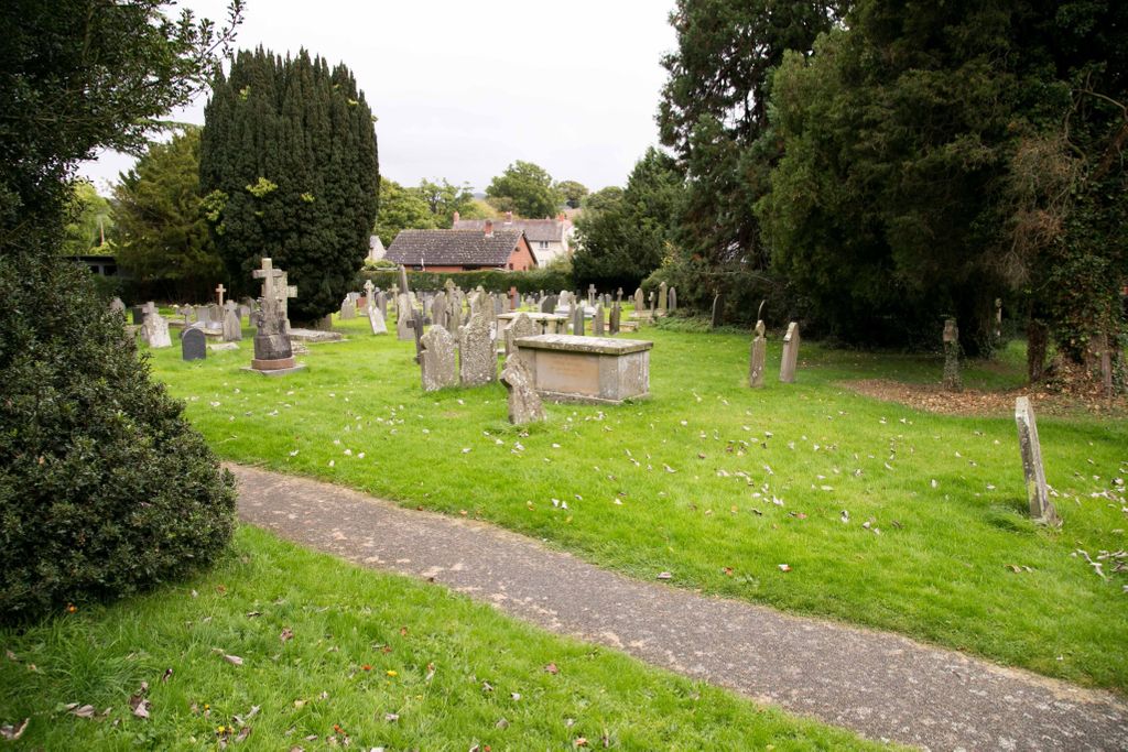
| Memorials | : | 0 |
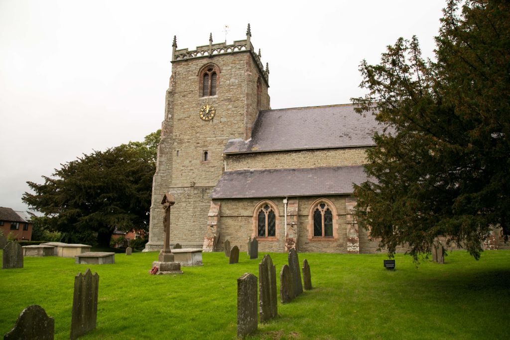
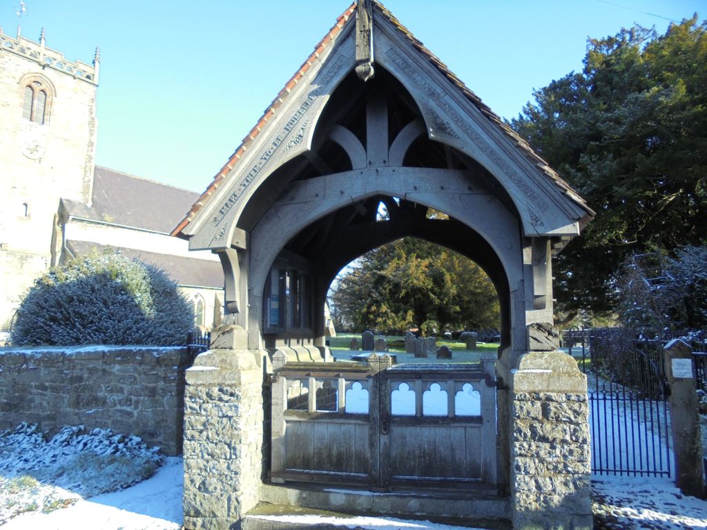
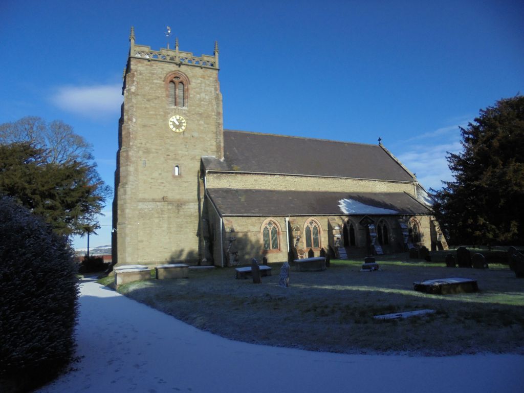
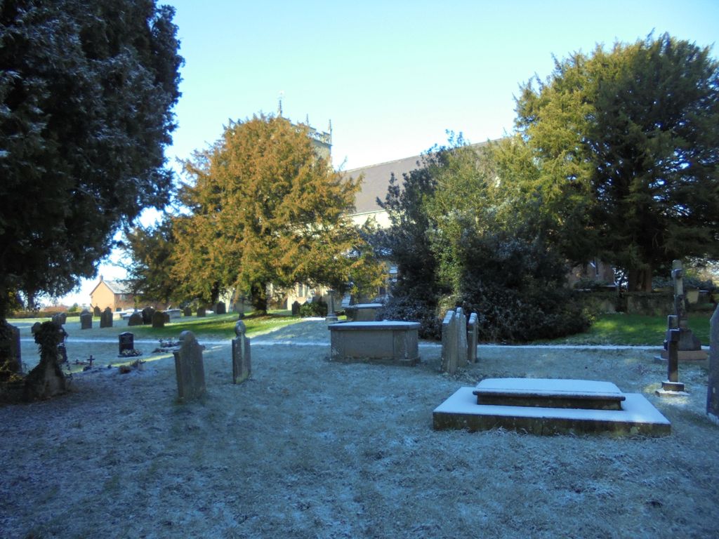
| Location | : | Chirbury with Brompton, Shropshire Unitary Authority, England |
| Coordinate | : | 52.5792757, -3.0914289 |
frequently asked questions (FAQ):
-
Where is St. Michael the Archangel Churchyard?
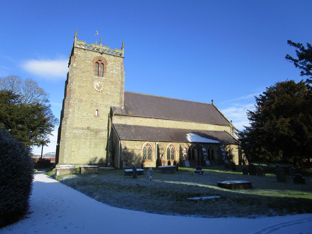
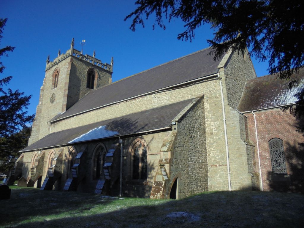
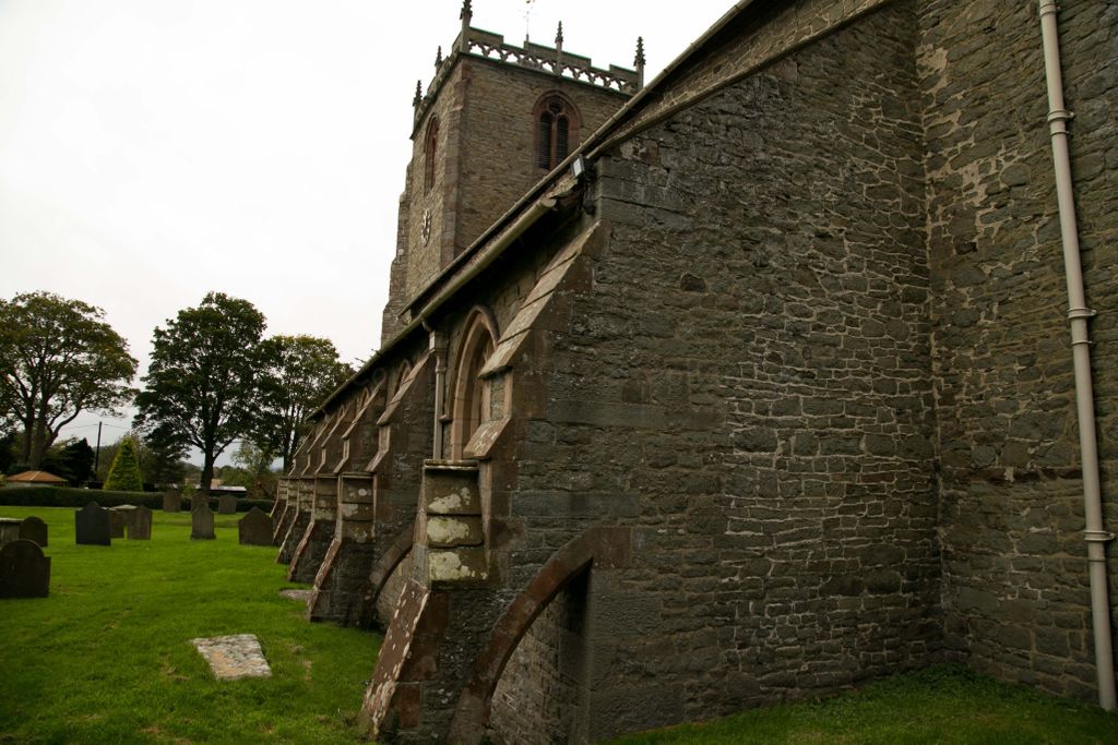
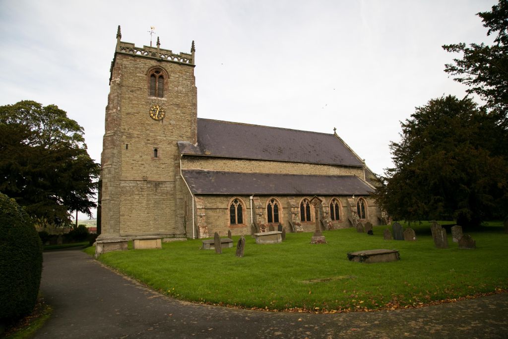
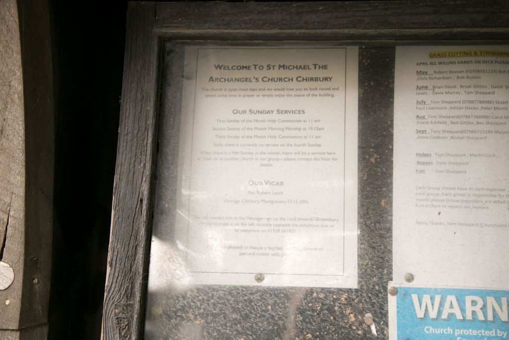
St. Michael the Archangel Churchyard is located at Chirbury with Brompton, Shropshire Unitary Authority ,Shropshire ,England.
-
St. Michael the Archangel Churchyard cemetery's updated grave count on graveviews.com?
0 memorials
-
Where are the coordinates of the St. Michael the Archangel Churchyard?
Latitude: 52.5792757
Longitude: -3.0914289
Nearby Cemetories:
1. Holy Trinity Churchyard
Chirbury with Brompton, Shropshire Unitary Authority, England
Coordinate: 52.5873000, -3.0387300
2. Holy Trinity Churchyard
Hope, Shropshire Unitary Authority, England
Coordinate: 52.6070670, -2.9747750
3. St. John the Baptist Churchyard
Bishop's Castle, Shropshire Unitary Authority, England
Coordinate: 52.4898300, -2.9984000
4. Habberley St Mary's Church
Atcham, Shropshire Unitary Authority, England
Coordinate: 52.6266060, -2.8897140
5. All Saints Churchyard
Alberbury, Shropshire Unitary Authority, England
Coordinate: 52.7062510, -3.0333570
6. St. Edith's Churchyard
Church Pulverbatch, Shropshire Unitary Authority, England
Coordinate: 52.6210550, -2.8436610
7. St Michael Churchyard
Edgton, Shropshire Unitary Authority, England
Coordinate: 52.4660500, -2.9044570
8. St Mary Churchyard
Bettws-y-Crwyn, Shropshire Unitary Authority, England
Coordinate: 52.4244990, -3.1692770
9. Clun Cemetery
Clun, Shropshire Unitary Authority, England
Coordinate: 52.4215490, -3.0224990
10. St George Churchyard
Clun, Shropshire Unitary Authority, England
Coordinate: 52.4184914, -3.0303540
11. St. Michael and All Angels Churchyard
Alberbury, Shropshire Unitary Authority, England
Coordinate: 52.7236380, -2.9509280
12. St. Michael’s Churchyard
Cardeston, Shropshire Unitary Authority, England
Coordinate: 52.7050600, -2.8960090
13. Greenhills Cemetery
Church Stretton, Shropshire Unitary Authority, England
Coordinate: 52.5310170, -2.8142480
14. Church Stretton Cemetery
Church Stretton, Shropshire Unitary Authority, England
Coordinate: 52.5365590, -2.8097950
15. St Laurence Churchyard
Church Stretton, Shropshire Unitary Authority, England
Coordinate: 52.5381750, -2.8087400
16. St Marys Churchyard
Hopesay, Shropshire Unitary Authority, England
Coordinate: 52.4440470, -2.8999020
17. Alberbury Priory
Alberbury, Shropshire Unitary Authority, England
Coordinate: 52.7311000, -2.9267000
18. St. Swithin Churchyard
Clunbury, Shropshire Unitary Authority, England
Coordinate: 52.4201670, -2.9261080
19. St Margaret's Churchyard
Acton Scott, Shropshire Unitary Authority, England
Coordinate: 52.5001670, -2.8060920
20. St Thomas Churchyard
Great Hanwood, Shropshire Unitary Authority, England
Coordinate: 52.6812150, -2.8242660
21. St. Michael Churchyard
Ford, Shropshire Unitary Authority, England
Coordinate: 52.7184248, -2.8715080
22. St. John’s Churchyard
Condover, Shropshire Unitary Authority, England
Coordinate: 52.6356110, -2.7833220
23. St. Andrew's Churchyard
Hope Bowdler, Shropshire Unitary Authority, England
Coordinate: 52.5271160, -2.7739830
24. St. Edward Churchyard
Hopton Castle, Shropshire Unitary Authority, England
Coordinate: 52.3985700, -2.9369700