
| Memorials | : | 1 |
| Location | : | Hope Bowdler, Shropshire Unitary Authority, England |
| Coordinate | : | 52.5271160, -2.7739830 |
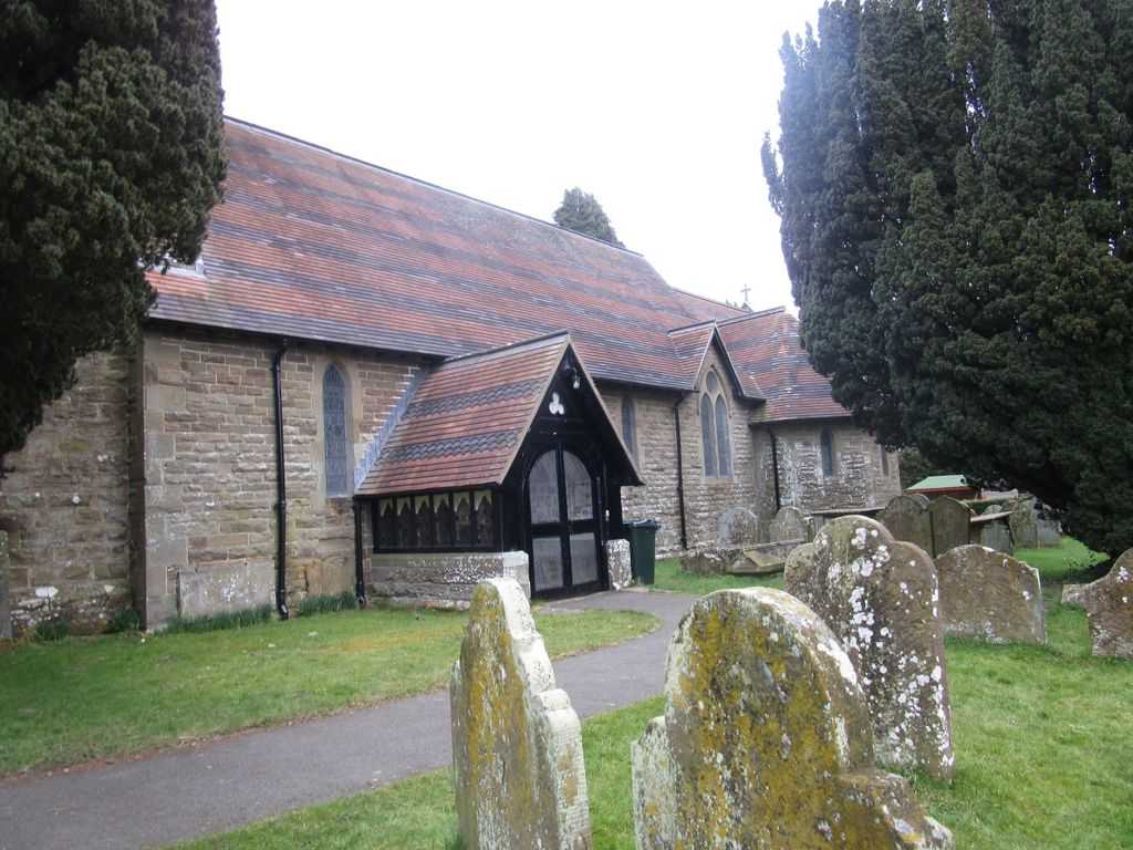
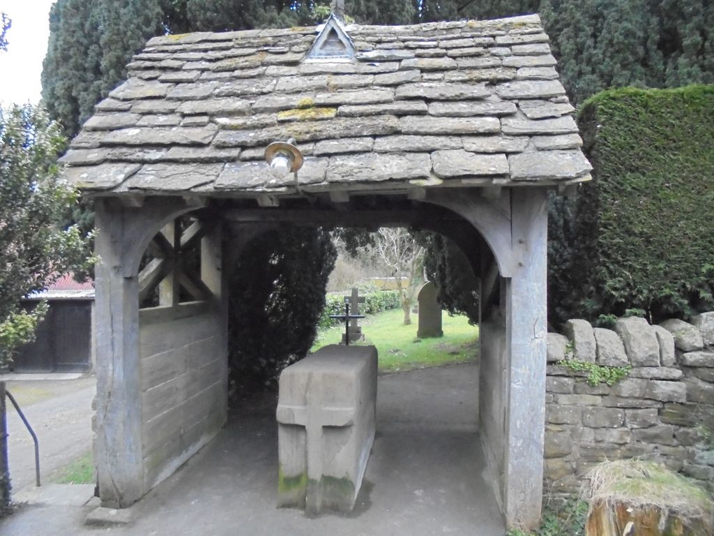
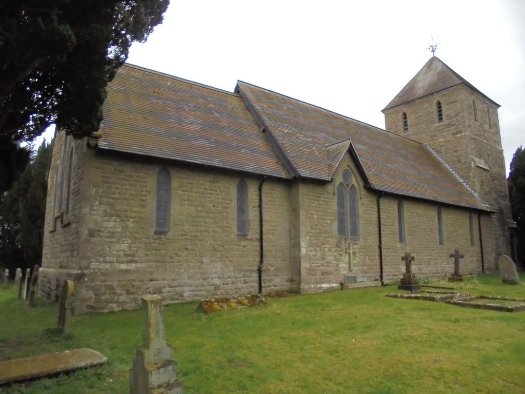
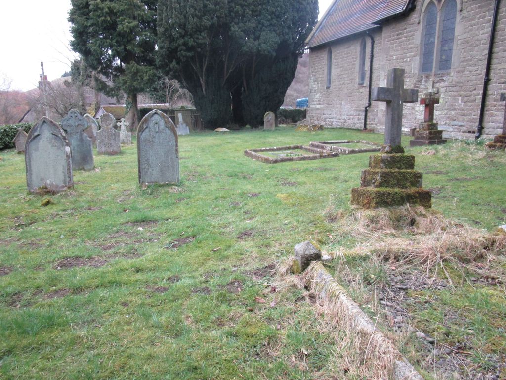
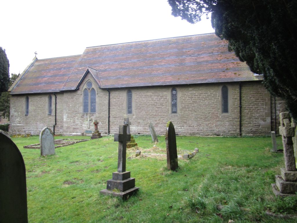
| Description | : | The current parish church of St. Andrew was almost entirely rebuilt in 1862 using materials from the old church and stone from the nearby Soudley quarry. |
frequently asked questions (FAQ):
-
Where is St. Andrew's Churchyard?
St. Andrew's Churchyard is located at B4371 Hope Bowdler, Shropshire Unitary Authority ,Shropshire , SY6 7DDEngland.
-
St. Andrew's Churchyard cemetery's updated grave count on graveviews.com?
1 memorials
-
Where are the coordinates of the St. Andrew's Churchyard?
Latitude: 52.5271160
Longitude: -2.7739830
Nearby Cemetories:
1. Church Stretton Cemetery
Church Stretton, Shropshire Unitary Authority, England
Coordinate: 52.5365590, -2.8097950
2. St Laurence Churchyard
Church Stretton, Shropshire Unitary Authority, England
Coordinate: 52.5381750, -2.8087400
3. Greenhills Cemetery
Church Stretton, Shropshire Unitary Authority, England
Coordinate: 52.5310170, -2.8142480
4. Eaton- under- Heywood St Edith
Eaton-under-Heywood, Shropshire Unitary Authority, England
Coordinate: 52.5056520, -2.7382880
5. St Margaret's Churchyard
Acton Scott, Shropshire Unitary Authority, England
Coordinate: 52.5001670, -2.8060920
6. St. James's Churchyard
Cardington, Shropshire Unitary Authority, England
Coordinate: 52.5520200, -2.7296220
7. Westhope Chapel Burial Ground
Diddlebury, Shropshire Unitary Authority, England
Coordinate: 52.4714690, -2.7818850
8. St. Peter's Churchyard
Diddlebury, Shropshire Unitary Authority, England
Coordinate: 52.4640570, -2.7249740
9. St. John the Baptist Churchyard
Church Preen, Shropshire Unitary Authority, England
Coordinate: 52.5792000, -2.6754000
10. Holy Trinity Churchyard
Holdgate, Shropshire Unitary Authority, England
Coordinate: 52.5024450, -2.6471900
11. St Peter's Churchyard
Easthope, Shropshire Unitary Authority, England
Coordinate: 52.5522350, -2.6413020
12. St. Mark's Churchyard
Frodesley, Shropshire Unitary Authority, England
Coordinate: 52.6052775, -2.7166580
13. St. Thomas' Churchyard
Craven Arms, Shropshire Unitary Authority, England
Coordinate: 52.4450630, -2.8306870
14. St. John’s Churchyard
Hughley, Shropshire Unitary Authority, England
Coordinate: 52.5774550, -2.6435850
15. All Saints Churchyard
Culmington, Shropshire Unitary Authority, England
Coordinate: 52.4334800, -2.7463500
16. St. Mary's Churchyard
Acton Burnell, Shropshire Unitary Authority, England
Coordinate: 52.6131390, -2.6907390
17. St Michael Churchyard
Edgton, Shropshire Unitary Authority, England
Coordinate: 52.4660500, -2.9044570
18. St. Edith's Churchyard
Church Pulverbatch, Shropshire Unitary Authority, England
Coordinate: 52.6210550, -2.8436610
19. St. Margaret's Churchyard
Abdon, Shropshire Unitary Authority, England
Coordinate: 52.4757240, -2.6265660
20. Clee St. Margaret Churchyard
Clee St Margaret, Shropshire Unitary Authority, England
Coordinate: 52.4554270, -2.6423086
21. St. John The Baptist Churchyard
Kenley, Shropshire Unitary Authority, England
Coordinate: 52.6030460, -2.6469840
22. St. John’s Churchyard
Condover, Shropshire Unitary Authority, England
Coordinate: 52.6356110, -2.7833220
23. St Marys Churchyard
Hopesay, Shropshire Unitary Authority, England
Coordinate: 52.4440470, -2.8999020
24. Holy Trinity Churchyard
Bourton, Shropshire Unitary Authority, England
Coordinate: 52.5636887, -2.5957174