
| Memorials | : | 0 |
| Location | : | Chellington, Bedford Borough, England |
| Coordinate | : | 52.1967000, -0.5956000 |
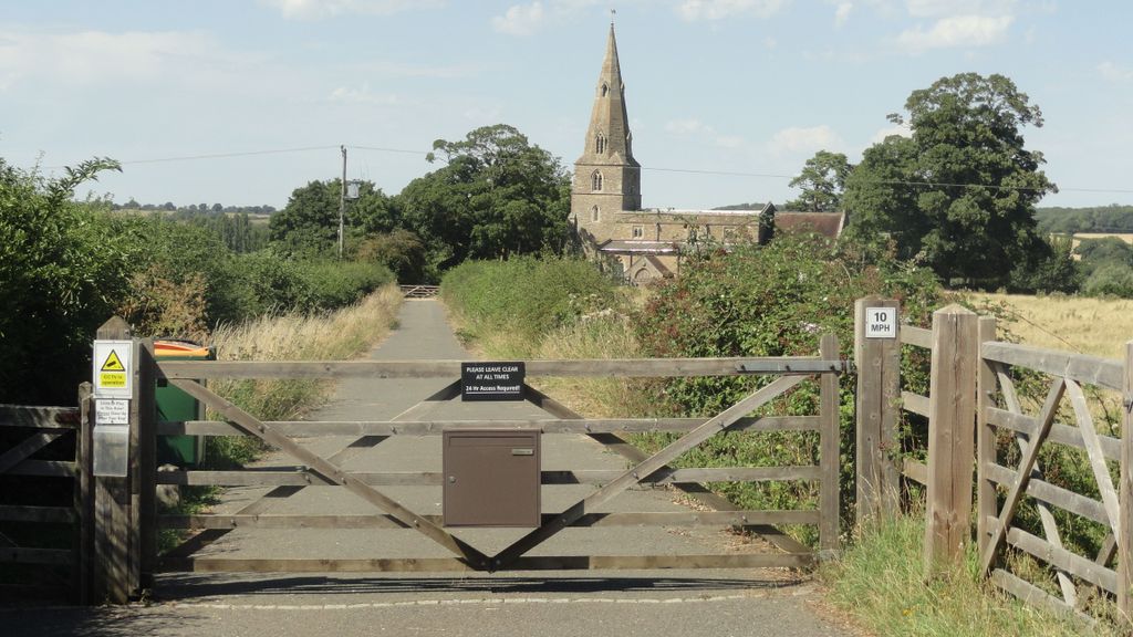
| Description | : | St. Nicholas church was built in 1278. It is a steepled church that stands on Chellington Hill and may stake a claim to being one of North Bedfordshire's most remotely-situated churches. Due to the remoteness of St. Nicholas, it is claimed that the church was used for secret marriages before the Marriage Act came into force. In the 1940's the church was considered to be used sparingly with only one marriage in the previous twenty years or so and interments were done in family graves only by special request. It was only opened at certain times of the year... Read More |
frequently asked questions (FAQ):
-
Where is St. Nicholas' Churchyard?
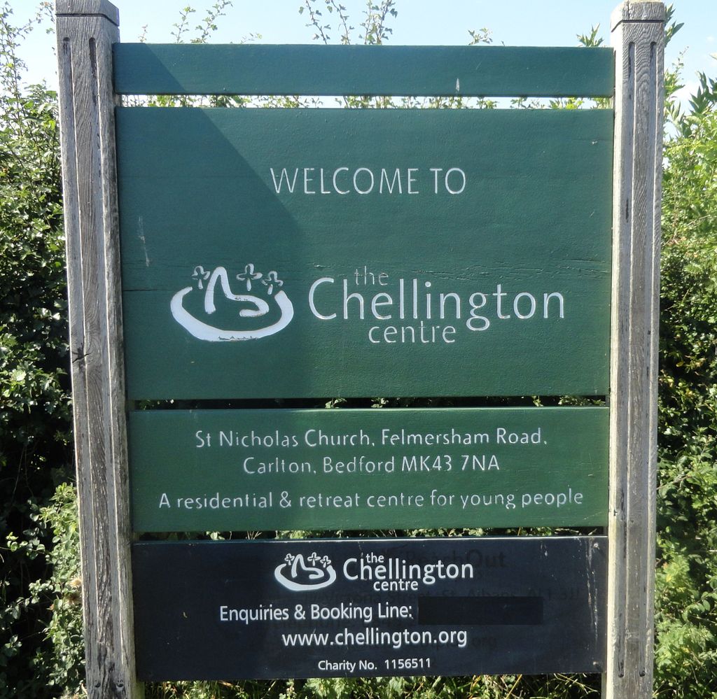
St. Nicholas' Churchyard is located at Felmersham Road Chellington, Bedford Borough ,Bedfordshire , MK43 7NAEngland.
-
St. Nicholas' Churchyard cemetery's updated grave count on graveviews.com?
0 memorials
-
Where are the coordinates of the St. Nicholas' Churchyard?
Latitude: 52.1967000
Longitude: -0.5956000
Nearby Cemetories:
1. St. Peter and All Saints Churchyard
Harrold, Bedford Borough, England
Coordinate: 52.2000130, -0.6056760
2. Carlton Baptist Chapel Chapelyard
Carlton, Bedford Borough, England
Coordinate: 52.1870676, -0.6055073
3. Harrold United Reformed Church Cemetery
Harrold, Bedford Borough, England
Coordinate: 52.2021458, -0.6139397
4. St. Mary's Churchyard
Carlton, Bedford Borough, England
Coordinate: 52.1837270, -0.6093090
5. All Saints Churchyard
Odell, Bedford Borough, England
Coordinate: 52.2114900, -0.5869800
6. St Marys Churchyard
Felmersham, Bedford Borough, England
Coordinate: 52.2099000, -0.5505000
7. Stevington Baptist Chapel Chapelyard
Bedford Borough, England
Coordinate: 52.1730085, -0.5637366
8. Turvey Cemetery
Turvey, Bedford Borough, England
Coordinate: 52.1665007, -0.6243628
9. St. Mary the Virgin Churchyard
Stevington, Bedford Borough, England
Coordinate: 52.1722000, -0.5532000
10. All Saints Churchyard
Turvey, Bedford Borough, England
Coordinate: 52.1632000, -0.6267000
11. St. Peter's Churchyard
Sharnbrook, Bedford Borough, England
Coordinate: 52.2255210, -0.5468540
12. Lavendon Abbey
Addington, Aylesbury Vale District, England
Coordinate: 52.1799170, -0.6588330
13. St. Mary's Churchyard
Cold Brayfield, Milton Keynes Borough, England
Coordinate: 52.1609580, -0.6414440
14. St. Michael's Churchyard
Lavendon, Milton Keynes Borough, England
Coordinate: 52.1734100, -0.6615200
15. All Saints Churchyard
Souldrop, Bedford Borough, England
Coordinate: 52.2433000, -0.5584000
16. St. Nicholas Churchyard
Newton Blossomville, Milton Keynes Borough, England
Coordinate: 52.1546343, -0.6482556
17. All Saints Churchyard
Milton Ernest, Bedford Borough, England
Coordinate: 52.1938000, -0.5091000
18. St. Mary's Churchyard
Oakley, Bedford Borough, England
Coordinate: 52.1657680, -0.5238200
19. St. Mary the Virgin Churchyard
Bozeat, Wellingborough Borough, England
Coordinate: 52.2235060, -0.6747470
20. St Mary the Virgin Churchyard
Podington, Bedford Borough, England
Coordinate: 52.2539100, -0.6220900
21. St. Mary the Virgin Churchyard
Bletsoe, Bedford Borough, England
Coordinate: 52.2145800, -0.4996100
22. St. Owen Churchyard
Bromham, Bedford Borough, England
Coordinate: 52.1503000, -0.5201000
23. St. Leonard's Churchyard
Stagsden, Bedford Borough, England
Coordinate: 52.1313467, -0.5662217
24. St Peter and St Paul Churchyard
Easton Maudit, Wellingborough Borough, England
Coordinate: 52.2204300, -0.7006700