
| Memorials | : | 3 |
| Location | : | Knaptoft, Harborough District, England |
| Coordinate | : | 52.5007110, -1.0772070 |
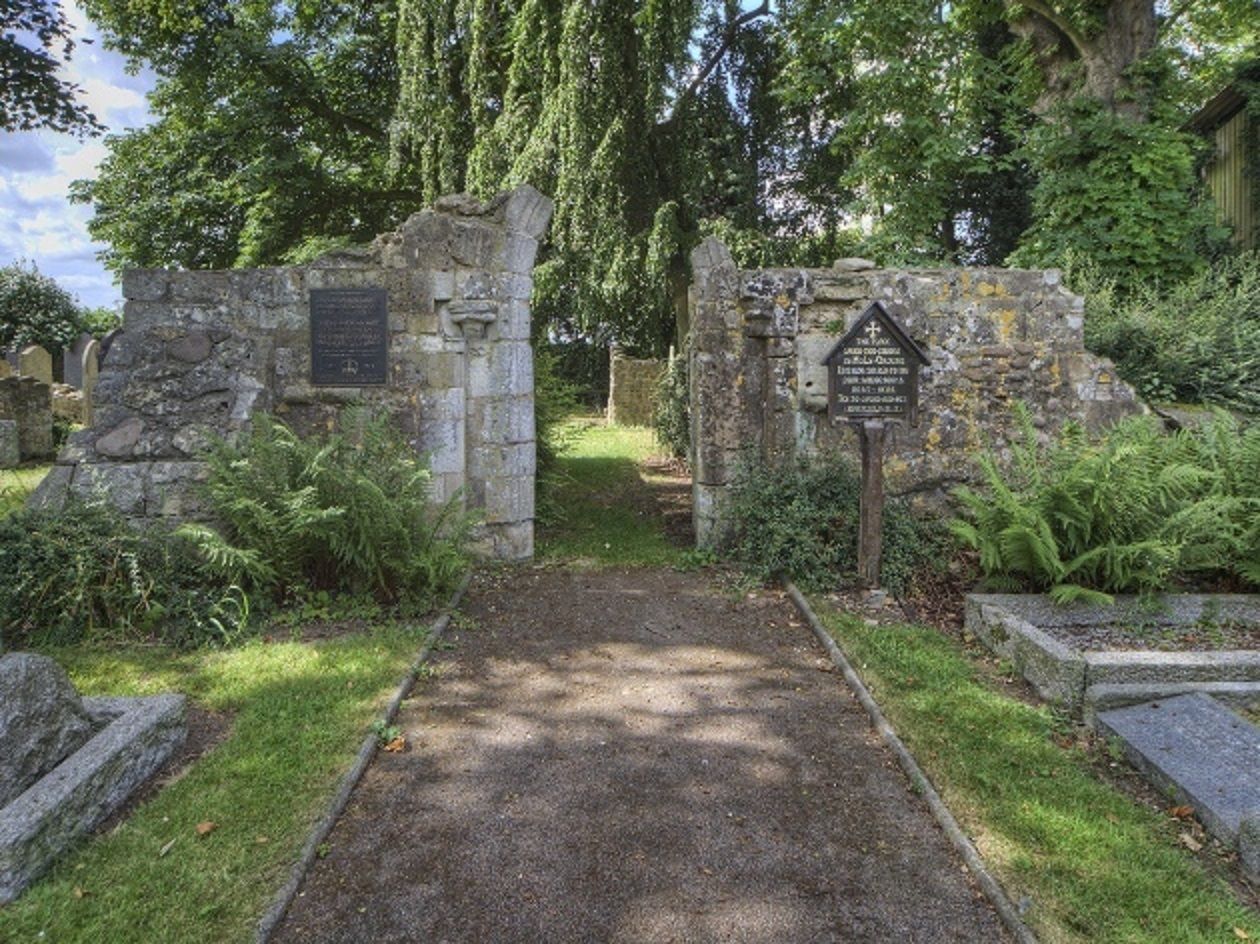
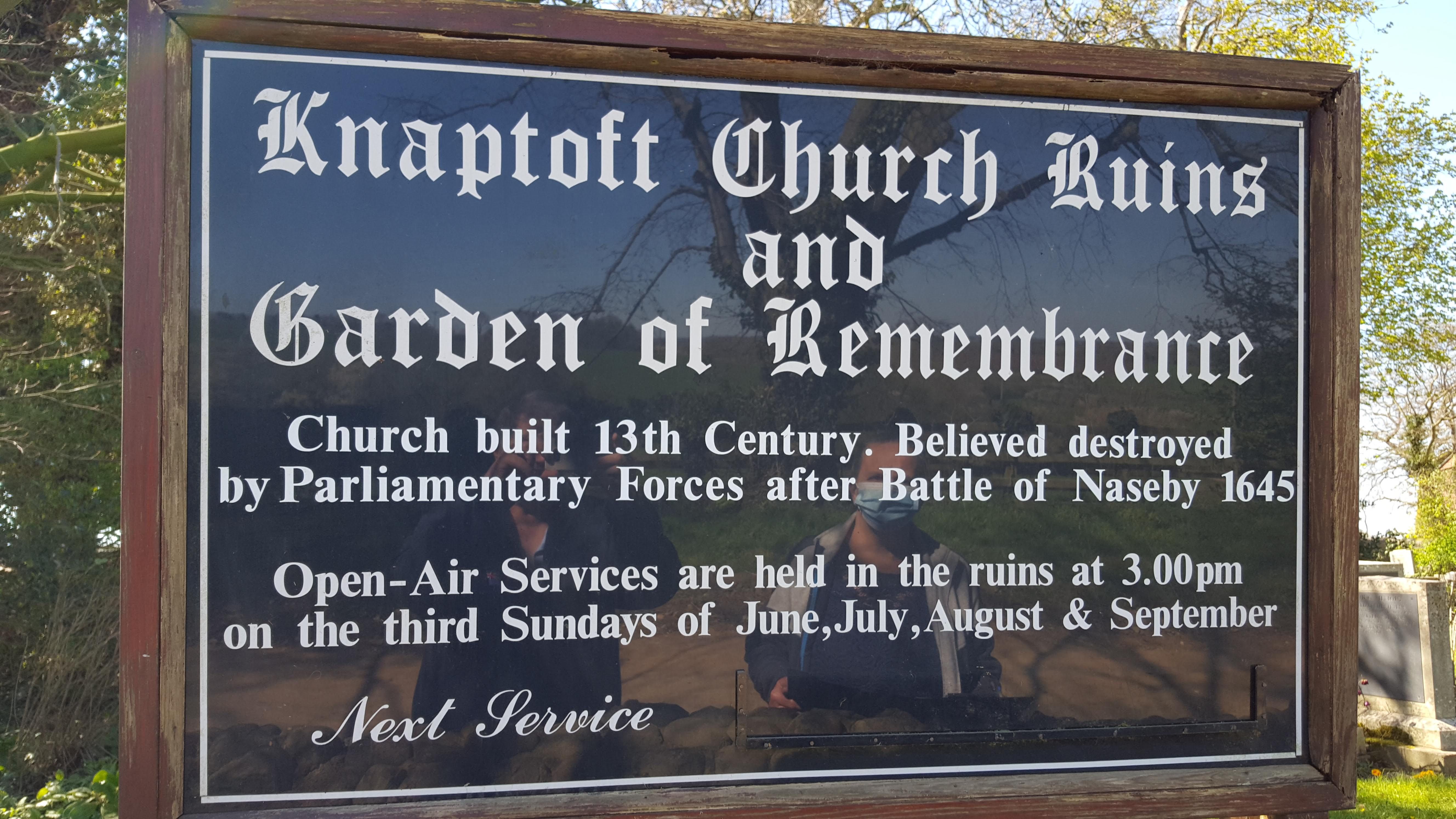
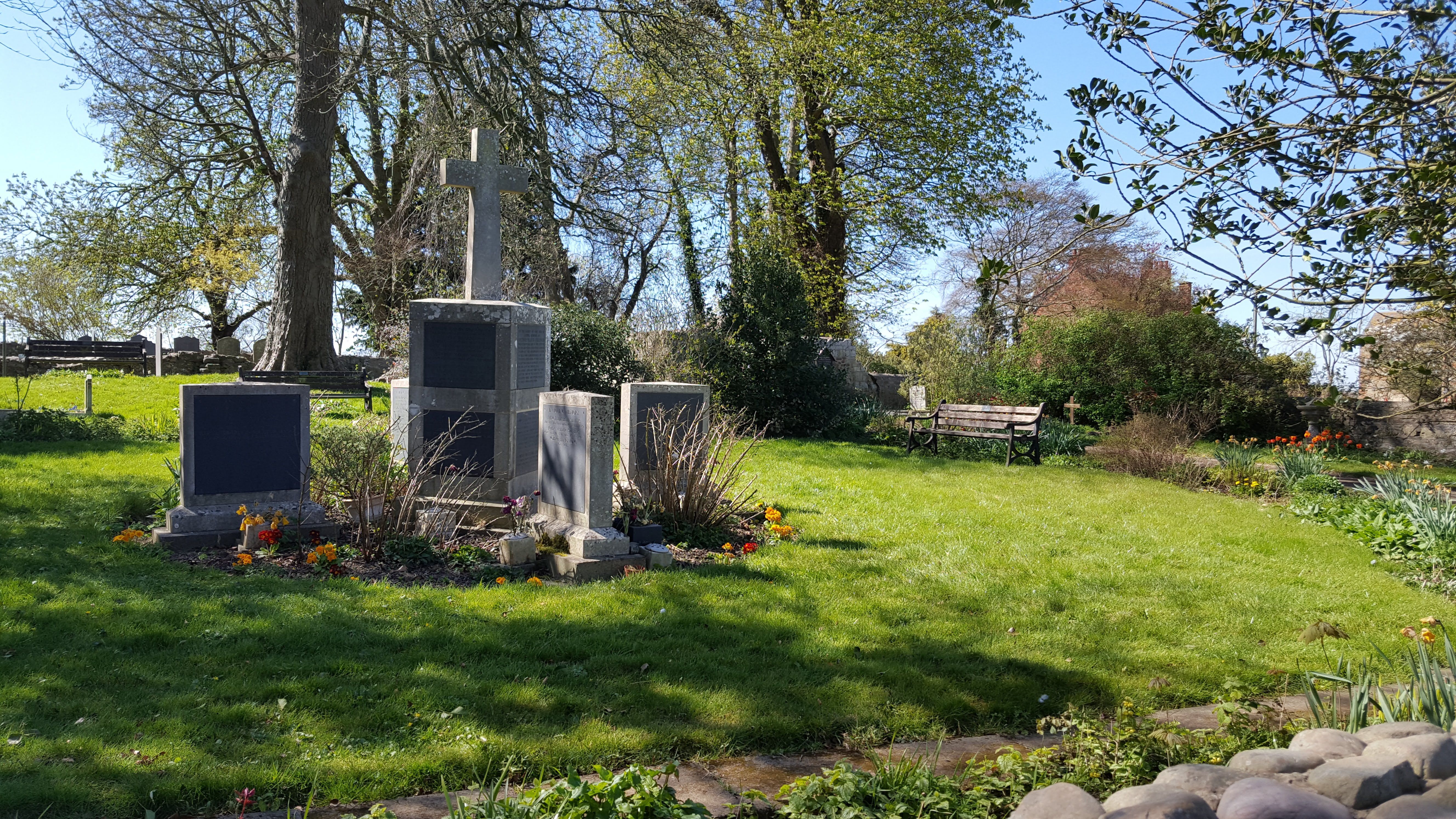
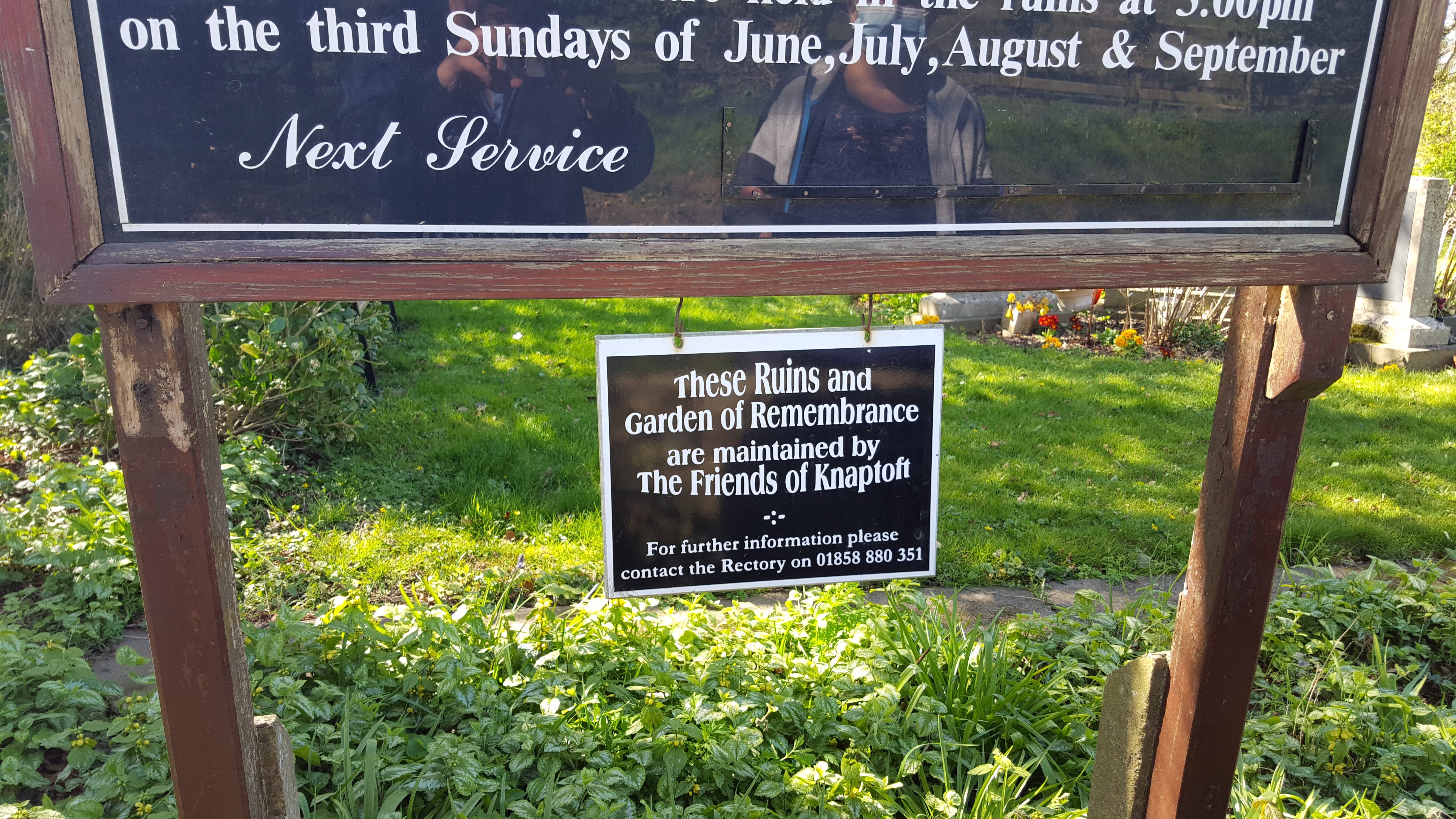
| Description | : | St. Nicholas Church, built in 1279, is nearly all that remains of the medieval village of Knaptoft. The once prosperous settlement, with manor house, gardens, two fish ponds, twenty tenants and a miller, suffered in the 1500s when the lord of the manor turned to sheep farming. The buildings began to decay, though it is believed the church was destroyed by Cromwell's forces after the Battle of Naseby in 1645. Open-air Sunday morning services are held throughout the summer, led by the various local churches—Anglican and others. So, this church, likely destroyed over religious differences, is now a meeting place... Read More |
frequently asked questions (FAQ):
-
Where is St. Nicholas Churchyard?
St. Nicholas Churchyard is located at Knaptoft, Harborough District ,Leicestershire ,England.
-
St. Nicholas Churchyard cemetery's updated grave count on graveviews.com?
0 memorials
-
Where are the coordinates of the St. Nicholas Churchyard?
Latitude: 52.5007110
Longitude: -1.0772070
Nearby Cemetories:
1. Knaptoft Churchyard
Lutterworth, Harborough District, England
Coordinate: 52.4994752, -1.0704864
2. St. Mary Magdalene
Shearsby, Harborough District, England
Coordinate: 52.5131685, -1.0831940
3. St. Mary Magdalene Churchyard
Shearsby, Harborough District, England
Coordinate: 52.5131629, -1.0832646
4. Mowsley Wesleyan Baptise Chapel
Mowsley, Harborough District, England
Coordinate: 52.4932618, -1.0503955
5. St Nicholas' Churchyard
Mowsley, Harborough District, England
Coordinate: 52.4956930, -1.0484420
6. St. Mary's Churchyard
Bruntingthorpe, Harborough District, England
Coordinate: 52.5029600, -1.1148100
7. St Peter Churchyard
Arnesby, Harborough District, England
Coordinate: 52.5240840, -1.0918950
8. Baptist Chapel Churchyard
Arnesby, Harborough District, England
Coordinate: 52.5264000, -1.0909600
9. St Luke
Laughton, Harborough District, England
Coordinate: 52.4963490, -1.0306710
10. St. Helens Churchyard
Saddington, Harborough District, England
Coordinate: 52.5200100, -1.0313500
11. Saddington Cemetery
Saddington, Harborough District, England
Coordinate: 52.5229700, -1.0263200
12. St Nicholas Churchyard
Fleckney, Harborough District, England
Coordinate: 52.5349410, -1.0470240
13. All Saints Churchyard
Peatling Magna, Harborough District, England
Coordinate: 52.5267900, -1.1247040
14. All Saints Churchyard
Kimcote, Harborough District, England
Coordinate: 52.4736330, -1.1390390
15. St Helen Churchyard
Gumley, Harborough District, England
Coordinate: 52.5053970, -0.9997570
16. All Saints Churchyard
Husbands Bosworth, Harborough District, England
Coordinate: 52.4536880, -1.0529010
17. All Saints Churchyard
Theddingworth, Harborough District, England
Coordinate: 52.4655020, -1.0185520
18. Christ Churchyard
Smeeton Westerby, Harborough District, England
Coordinate: 52.5279300, -1.0027100
19. All Saints Churchyard
Gilmorton, Harborough District, England
Coordinate: 52.4855900, -1.1604900
20. St. Bartholomew's Churchyard
Foston, Blaby District, England
Coordinate: 52.5494850, -1.1116260
21. St Bartholomew in Foston
Kilby, Blaby District, England
Coordinate: 52.5494780, -1.1117810
22. St Mary's Churchyard
Willoughby Waterleys, Harborough District, England
Coordinate: 52.5270920, -1.1532770
23. Husbands Bosworth Cemetery
Husbands Bosworth, Harborough District, England
Coordinate: 52.4481064, -1.0583018
24. St Mary Magdalene
Kilby, Blaby District, England
Coordinate: 52.5554660, -1.0884320