
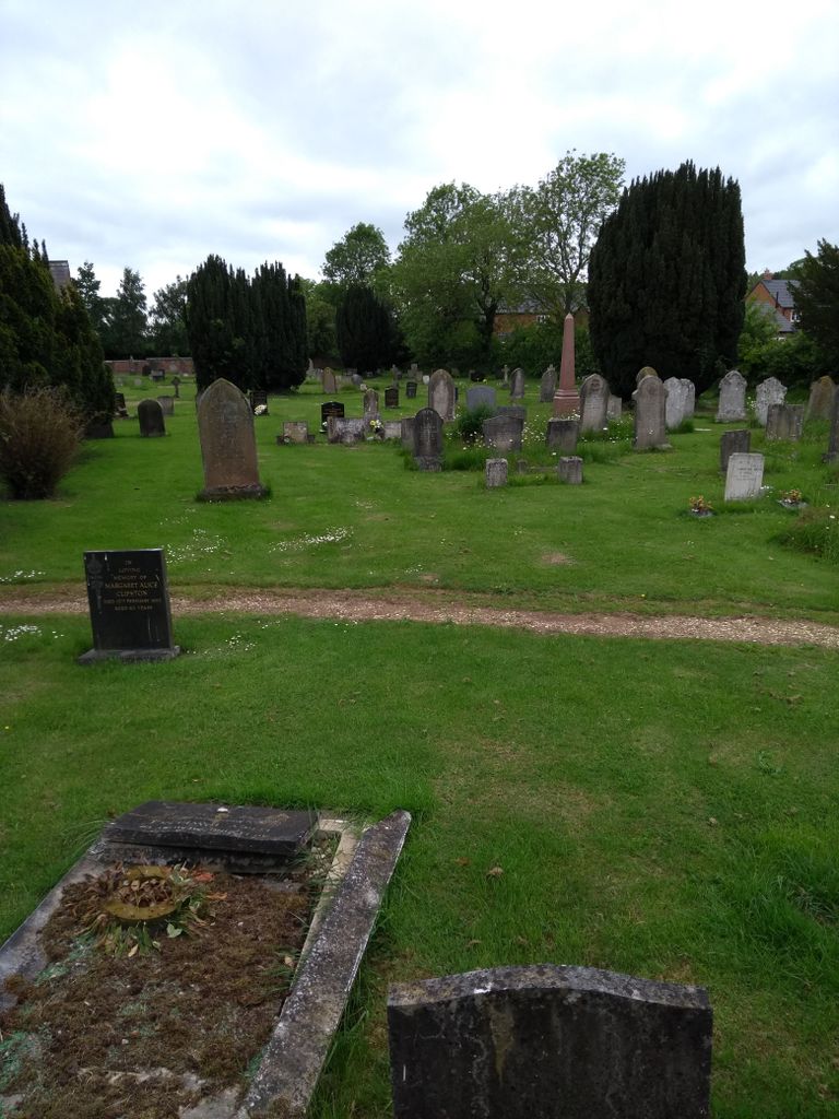
| Memorials | : | 9 |
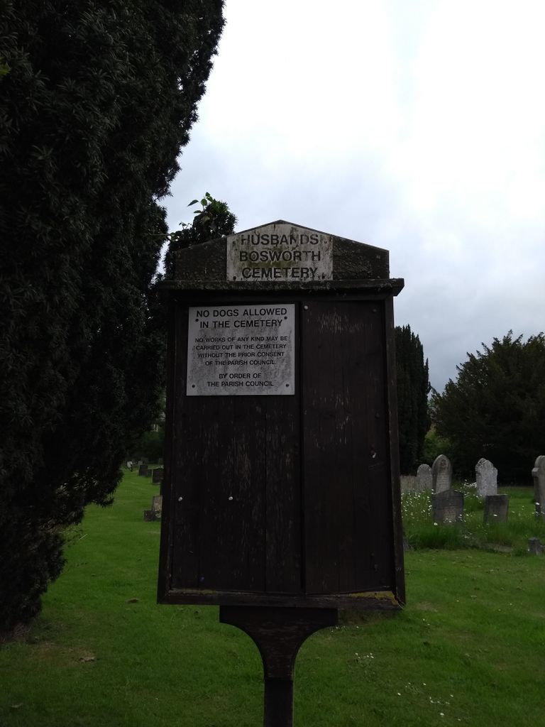
| Location | : | Husbands Bosworth, Harborough District, England |
| Website | : | www.husbandsbosworthpc.org.uk/cemetery.html |
| Coordinate | : | 52.4481064, -1.0583018 |
| Description | : | The Parish Council is the Burial Board for the village's cemetery on Welford Road and administers the site. The cemetery was opened in 1858, originally with a Chapel of Rest for the spiritual provision of conformists and non-conformists in separate side chapels. Burials continued in the churchyard of the parish church of All Saints until 1904, since when all burials (except some burial of ashes within the church's designated Memorial Garden), have taken place in the cemetery. |
frequently asked questions (FAQ):
-
Where is Husbands Bosworth Cemetery?
Husbands Bosworth Cemetery is located at Welford Road Husbands Bosworth, Harborough District ,Leicestershire , LE17England.
-
Husbands Bosworth Cemetery cemetery's updated grave count on graveviews.com?
0 memorials
-
Where are the coordinates of the Husbands Bosworth Cemetery?
Latitude: 52.4481064
Longitude: -1.0583018
Nearby Cemetories:
1. All Saints Churchyard
Husbands Bosworth, Harborough District, England
Coordinate: 52.4536880, -1.0529010
2. St. Andrew Churchyard
North Kilworth, Harborough District, England
Coordinate: 52.4432190, -1.0950880
3. All Saints Churchyard
Theddingworth, Harborough District, England
Coordinate: 52.4655020, -1.0185520
4. St. Mary's Churchyard Extension
Welford, Daventry District, England
Coordinate: 52.4173836, -1.0595687
5. St Mary the Virgin Churchyard
Welford, Daventry District, England
Coordinate: 52.4172618, -1.0587465
6. St Nicholas Church
South Kilworth, Harborough District, England
Coordinate: 52.4316750, -1.1125110
7. St. Helen's Churchyard
Sibbertoft, Daventry District, England
Coordinate: 52.4386400, -0.9989200
8. Mowsley Wesleyan Baptise Chapel
Mowsley, Harborough District, England
Coordinate: 52.4932618, -1.0503955
9. St Nicholas' Churchyard
Mowsley, Harborough District, England
Coordinate: 52.4956930, -1.0484420
10. St. Nicholas' Churchyard
Marston Trussell, Daventry District, England
Coordinate: 52.4669200, -0.9804650
11. St Luke
Laughton, Harborough District, England
Coordinate: 52.4963490, -1.0306710
12. Knaptoft Churchyard
Lutterworth, Harborough District, England
Coordinate: 52.4994752, -1.0704864
13. St. Nicholas Churchyard
Knaptoft, Harborough District, England
Coordinate: 52.5007110, -1.0772070
14. All Saints Churchyard
Kimcote, Harborough District, England
Coordinate: 52.4736330, -1.1390390
15. Baptist Graveyard
Clipston, Daventry District, England
Coordinate: 52.4296989, -0.9582000
16. St. Nicholas's Churchyard
Stanford-on-Avon, Daventry District, England
Coordinate: 52.4045020, -1.1359770
17. St Nicholas' Churchyard
Stanford on Avon, Harborough District, England
Coordinate: 52.4045560, -1.1362100
18. All Saints Churchyard
Lubenham, Harborough District, England
Coordinate: 52.4770020, -0.9631870
19. St. Mary's Churchyard
Bruntingthorpe, Harborough District, England
Coordinate: 52.5029600, -1.1148100
20. All Saints Churchyard
Naseby, Daventry District, England
Coordinate: 52.3968790, -0.9889740
21. St. Mary Magdalene
Shearsby, Harborough District, England
Coordinate: 52.5131685, -1.0831940
22. St. Mary Magdalene Churchyard
Shearsby, Harborough District, England
Coordinate: 52.5131629, -1.0832646
23. St Helen Churchyard
Gumley, Harborough District, England
Coordinate: 52.5053970, -0.9997570
24. Saint John the Baptist Churchyard
East Farndon, Daventry District, England
Coordinate: 52.4562100, -0.9472400