
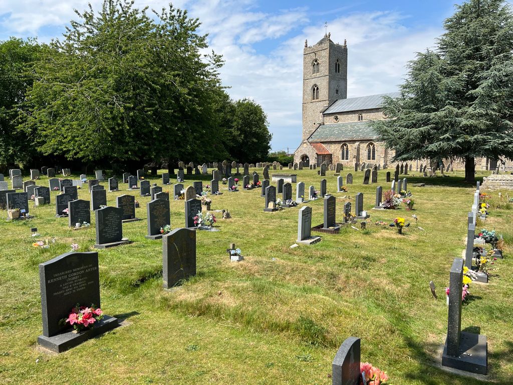
| Memorials | : | 84 |
| Location | : | Gayton, Kings Lynn and West Norfolk Borough, England |
| Coordinate | : | 52.7435700, 0.5615600 |
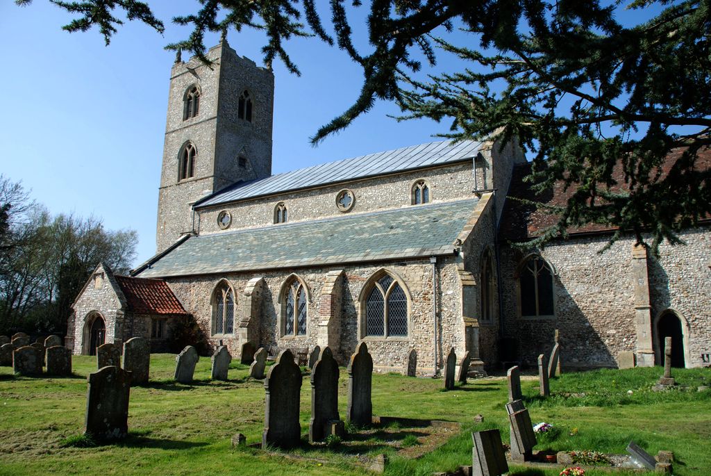
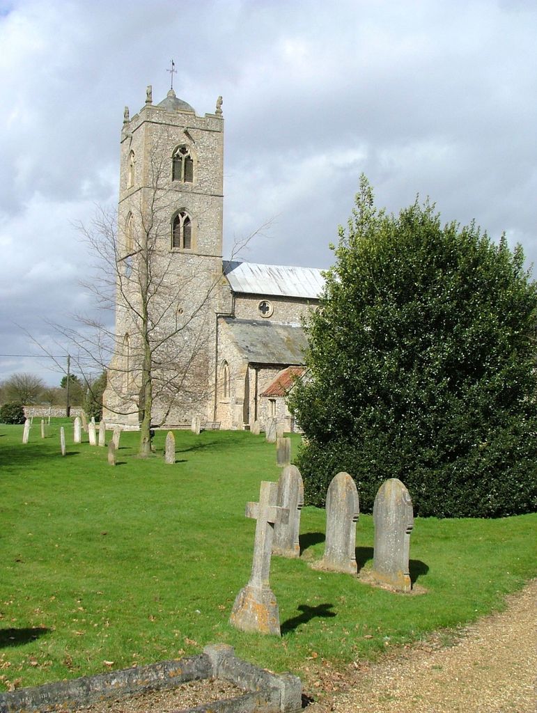
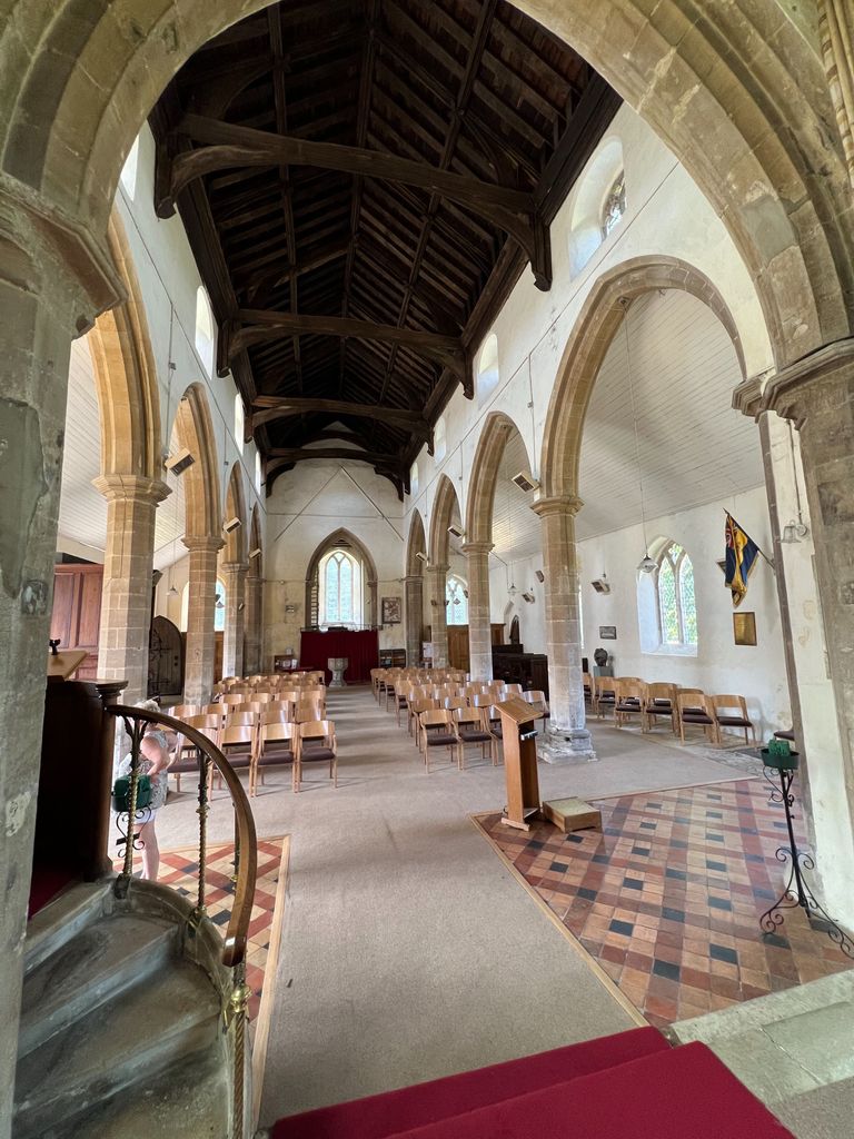
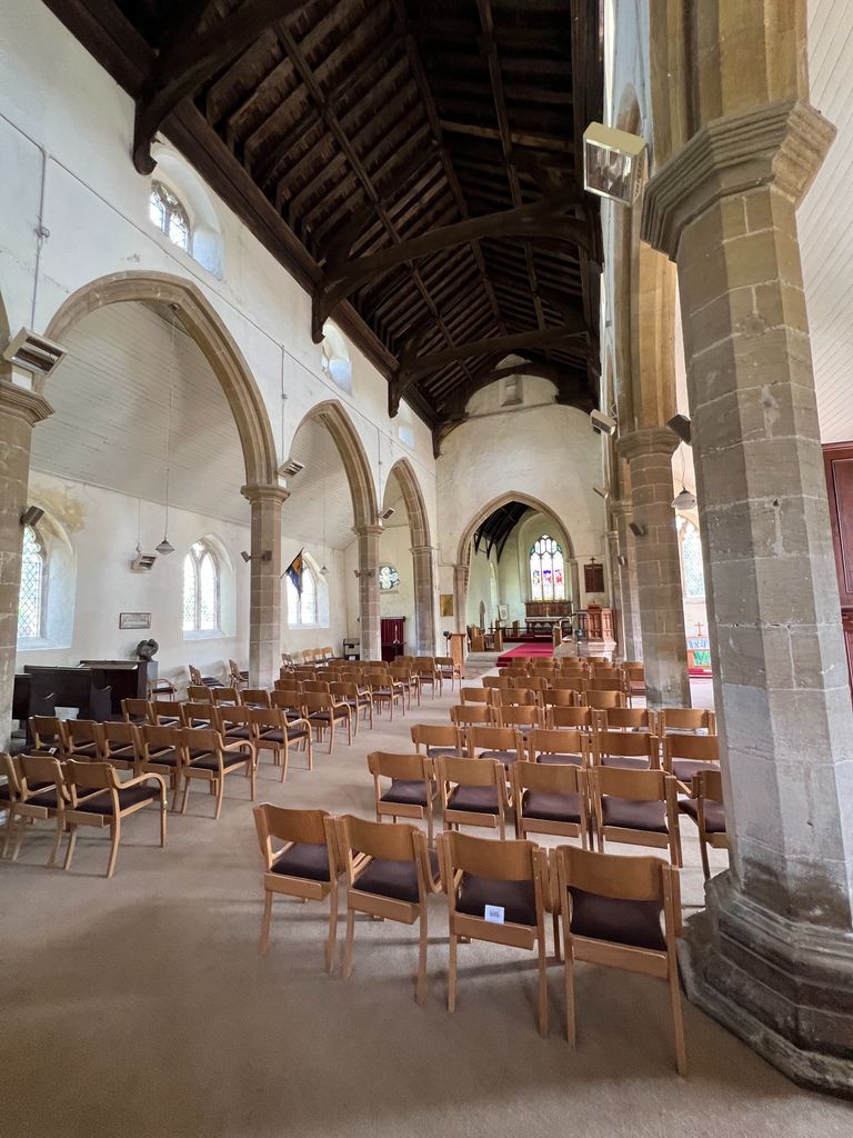
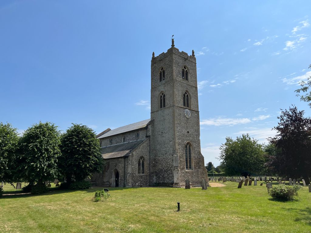
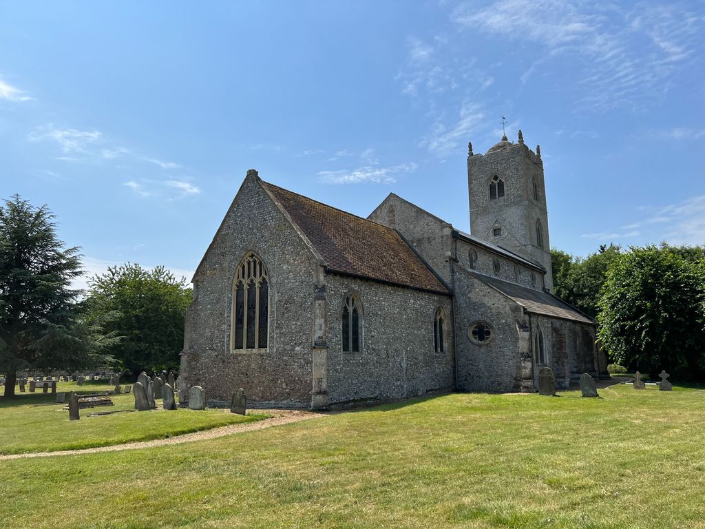
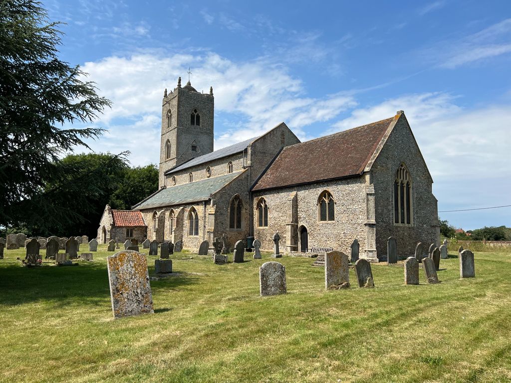
| Description | : | Gayton is a small village in the west of the English county of Norfolk. It is about 7 miles east of the town of King's Lynn, and about 10 miles north-west of the town of Swaffham. The Gaywood River has its source just north of the village at Derby Fen. The village sits astride of the B1145 Kings Lynn to Mundesley road that dissects North Norfolk west to east. The church is towards the eastern end of the village on the B1145. Car parking is available on the south side of the church – accessed from Back Street through the entrance... Read More |
frequently asked questions (FAQ):
-
Where is St Nicholas Churchyard?
St Nicholas Churchyard is located at Lynn Road, Eastern end of Gayton village on the B1145 Gayton, Kings Lynn and West Norfolk Borough ,Norfolk , PE32 1PAEngland.
-
St Nicholas Churchyard cemetery's updated grave count on graveviews.com?
84 memorials
-
Where are the coordinates of the St Nicholas Churchyard?
Latitude: 52.7435700
Longitude: 0.5615600
Nearby Cemetories:
1. St. Mary's Churchyard
Gayton Thorpe, Kings Lynn and West Norfolk Borough, England
Coordinate: 52.7362310, 0.5832080
2. Saint Botolphs Churchyard
Grimston, Kings Lynn and West Norfolk Borough, England
Coordinate: 52.7671870, 0.5509690
3. All Saints Churchyard
Ashwicken, Kings Lynn and West Norfolk Borough, England
Coordinate: 52.7404620, 0.5146680
4. Saint Mary Churchyard
East Walton, Kings Lynn and West Norfolk Borough, England
Coordinate: 52.7146600, 0.5787130
5. St Cecilia's Churchyard
West Bilney, Kings Lynn and West Norfolk Borough, England
Coordinate: 52.7079810, 0.5395750
6. St. Andrew's Churchyard
Congham, Kings Lynn and West Norfolk Borough, England
Coordinate: 52.7833600, 0.5381970
7. All Saints Churchyard
East Winch, Kings Lynn and West Norfolk Borough, England
Coordinate: 52.7175790, 0.5025340
8. All Saints Churchyard
Roydon, Kings Lynn and West Norfolk Borough, England
Coordinate: 52.7839110, 0.5176340
9. St. Mary Magdalene Churchyard
Pentney, Kings Lynn and West Norfolk Borough, England
Coordinate: 52.6950490, 0.5449550
10. Saint Mary's Churchyard
Hillington, Kings Lynn and West Norfolk Borough, England
Coordinate: 52.7970000, 0.5544000
11. All Saints Churchyard
West Acre, Kings Lynn and West Norfolk Borough, England
Coordinate: 52.7055420, 0.6339660
12. St. Mary's Churchyard
Narford, Breckland Borough, England
Coordinate: 52.6928740, 0.6095600
13. All Saints Churchyard
Narborough, Breckland Borough, England
Coordinate: 52.6861790, 0.5825420
14. Mintlyn Crematorium
Bawsey, Kings Lynn and West Norfolk Borough, England
Coordinate: 52.7521490, 0.4577190
15. Saint Mary's Churchyard
Flitcham, Kings Lynn and West Norfolk Borough, England
Coordinate: 52.8096690, 0.5582210
16. St Mary's Churchyard
Middleton, Kings Lynn and West Norfolk Borough, England
Coordinate: 52.7162502, 0.4595386
17. Blackborough Priory
Middleton, Kings Lynn and West Norfolk Borough, England
Coordinate: 52.6989000, 0.4749000
18. Exton Hall Roman Catholic Chapel
Exton, Rutland Unitary Authority, England
Coordinate: 52.6925000, 0.6382000
19. Pentney Priory
Pentney, Kings Lynn and West Norfolk Borough, England
Coordinate: 52.6803890, 0.5143830
20. St Mary's Churchyard
Great Massingham, Kings Lynn and West Norfolk Borough, England
Coordinate: 52.7743160, 0.6652320
21. St. Andrew's Churchyard
Little Massingham, Kings Lynn and West Norfolk Borough, England
Coordinate: 52.7851360, 0.6566710
22. St. Mary's Churchyard
Flitcham, Kings Lynn and West Norfolk Borough, England
Coordinate: 52.8162550, 0.5293920
23. St. Lawrence Churchyard
Castle Rising, Kings Lynn and West Norfolk Borough, England
Coordinate: 52.7956670, 0.4700120
24. St. Peter & St. Paul's Churchyard
West Newton, Kings Lynn and West Norfolk Borough, England
Coordinate: 52.8191150, 0.5157300