
| Memorials | : | 0 |
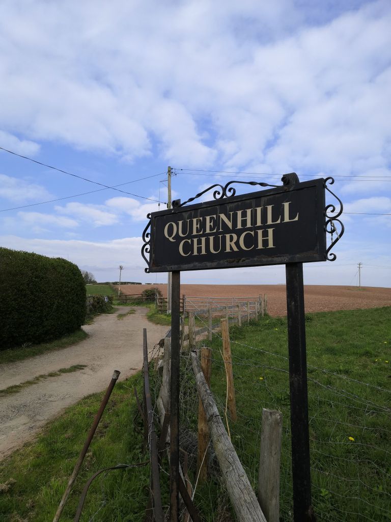
| Location | : | Queenhill, Malvern Hills District, England |
| Coordinate | : | 52.0280900, -2.2044100 |
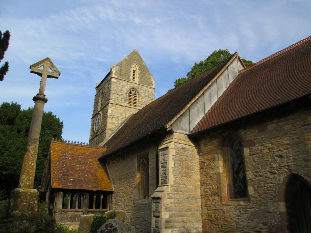
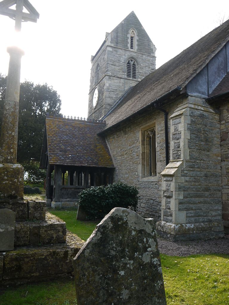
| Description | : | Queenhill was a chapel in Pershore Hundred and in Ripple Ancient Parish, which otherwise was Oswaldslow Hundred. Queenhill with Holdfast Ecclesiastical Parish was created in 1863 by the union of the chapel at Queenhill and the hamlet of Holdfast also in Ripple Ancient Parish. It was a separate Civil Parish in 1866. Queenhill, with the hamlet of Holdfast, was formerly a chapelry, annexed to the parish of Ripple, but was in 1880 formed into a separate ecclesiastical parish. The church at Queenhill is probably the chapel which was valued with the church of Ripple in 1291. It became the church of... Read More |
frequently asked questions (FAQ):
-
Where is St Nicholas Churchyard?
St Nicholas Churchyard is located at Queenhill, Malvern Hills District ,Worcestershire , WR8 0REEngland.
-
St Nicholas Churchyard cemetery's updated grave count on graveviews.com?
0 memorials
-
Where are the coordinates of the St Nicholas Churchyard?
Latitude: 52.0280900
Longitude: -2.2044100
Nearby Cemetories:
1. St. Mary's Churchyard
Ripple, Malvern Hills District, England
Coordinate: 52.0378900, -2.1822900
2. St. Mary's Churchyard
Longdon, Malvern Hills District, England
Coordinate: 52.0244900, -2.2370600
3. St Peters Churchyard
Bushley, Malvern Hills District, England
Coordinate: 52.0076000, -2.1834000
4. St. Mary Magdalene's Churchyard
Twyning, Tewkesbury Borough, England
Coordinate: 52.0230800, -2.1561800
5. Upton-upon-Severn Cemetery
Upton-upon-Severn, Malvern Hills District, England
Coordinate: 52.0585550, -2.2148520
6. St Peter & St Paul Churchyard
Upton-upon-Severn, Malvern Hills District, England
Coordinate: 52.0611229, -2.2181928
7. St. Mary the Virgin Churchyard
Forthampton, Tewkesbury Borough, England
Coordinate: 51.9912630, -2.2072860
8. St. Mary's Churchyard
Hill Croome, Malvern Hills District, England
Coordinate: 52.0619170, -2.1650127
9. Baptist Burial Ground 1655
Tewkesbury, Tewkesbury Borough, England
Coordinate: 51.9915680, -2.1614440
10. Tewkesbury Abbey
Tewkesbury, Tewkesbury Borough, England
Coordinate: 51.9902520, -2.1604280
11. Pendock Churchyard
Pendock, Malvern Hills District, England
Coordinate: 52.0015108, -2.2678653
12. Pendock Old Church
Pendock, Malvern Hills District, England
Coordinate: 52.0014720, -2.2679110
13. St. Nicholas Churchyard
Earls Croome, Malvern Hills District, England
Coordinate: 52.0764330, -2.1906110
14. Tewkesbury Cemetery
Tewkesbury, Tewkesbury Borough, England
Coordinate: 51.9862920, -2.1607700
15. Church of the Good Shepherd Churchyard
Malvern Hills District, England
Coordinate: 52.0632720, -2.2624630
16. St. Mary's Churchyard
Hanley Castle, Malvern Hills District, England
Coordinate: 52.0755870, -2.2365390
17. St. Giles Churchyard
Bredon, Wychavon District, England
Coordinate: 52.0312000, -2.1172000
18. St. Peter and St. Paul Churchyard
Birtsmorton, Malvern Hills District, England
Coordinate: 52.0176100, -2.2912600
19. St. John the Baptist Churchyard
Strensham, Wychavon District, England
Coordinate: 52.0639800, -2.1315500
20. St. Gregory Churchyard
Castlemorton, Malvern Hills District, England
Coordinate: 52.0332900, -2.3003800
21. St. Mary's Churchyard
Deerhurst, Tewkesbury Borough, England
Coordinate: 51.9679540, -2.1899710
22. St Faith Churchyard
Berrow, Malvern Hills District, England
Coordinate: 52.0065770, -2.3018720
23. St. James Churchyard
Welland, Malvern Hills District, England
Coordinate: 52.0577700, -2.2974900
24. St. Deny's Chyrchyard
Severn Stoke, Malvern Hills District, England
Coordinate: 52.0940600, -2.2116400