
| Memorials | : | 0 |
| Location | : | Welland, Malvern Hills District, England |
| Website | : | hopechurchfamily.org/locations/st-james-church-welland/ |
| Coordinate | : | 52.0577700, -2.2974900 |
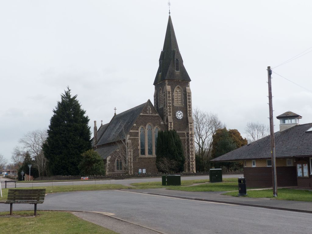
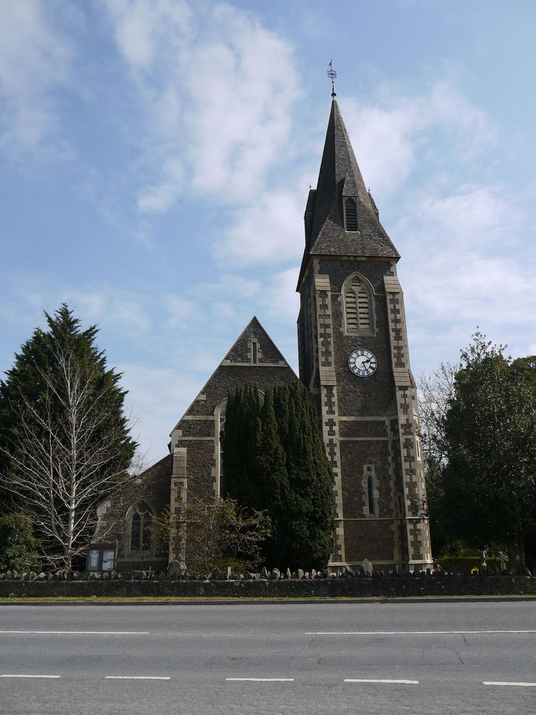
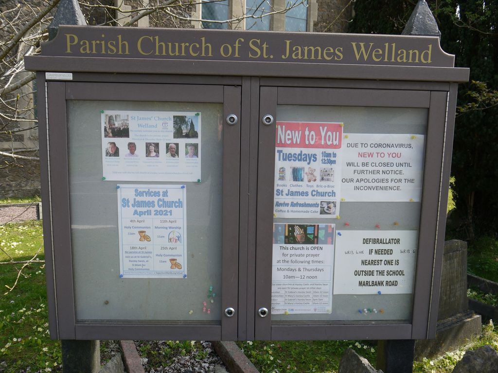
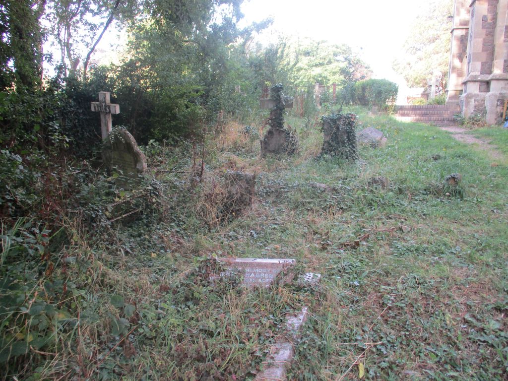
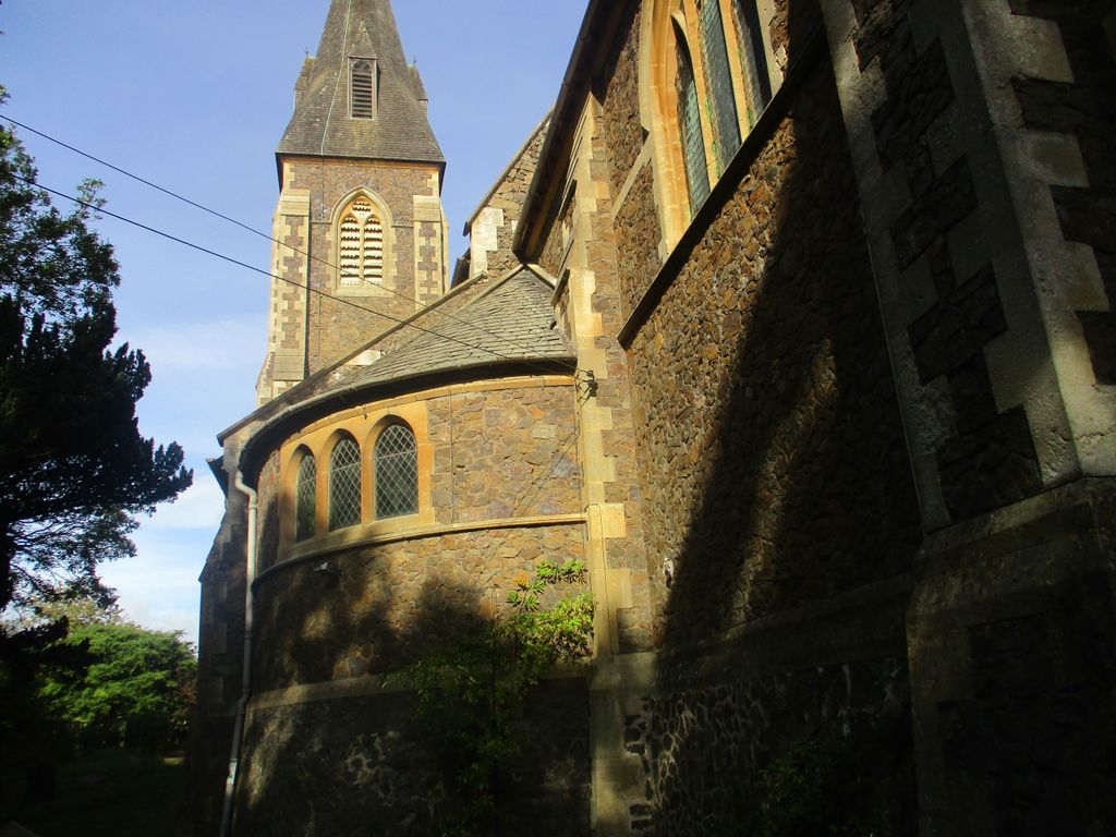
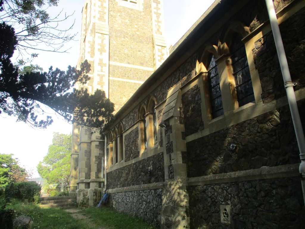
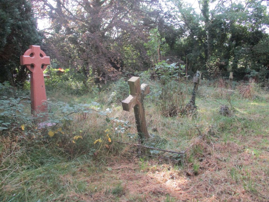
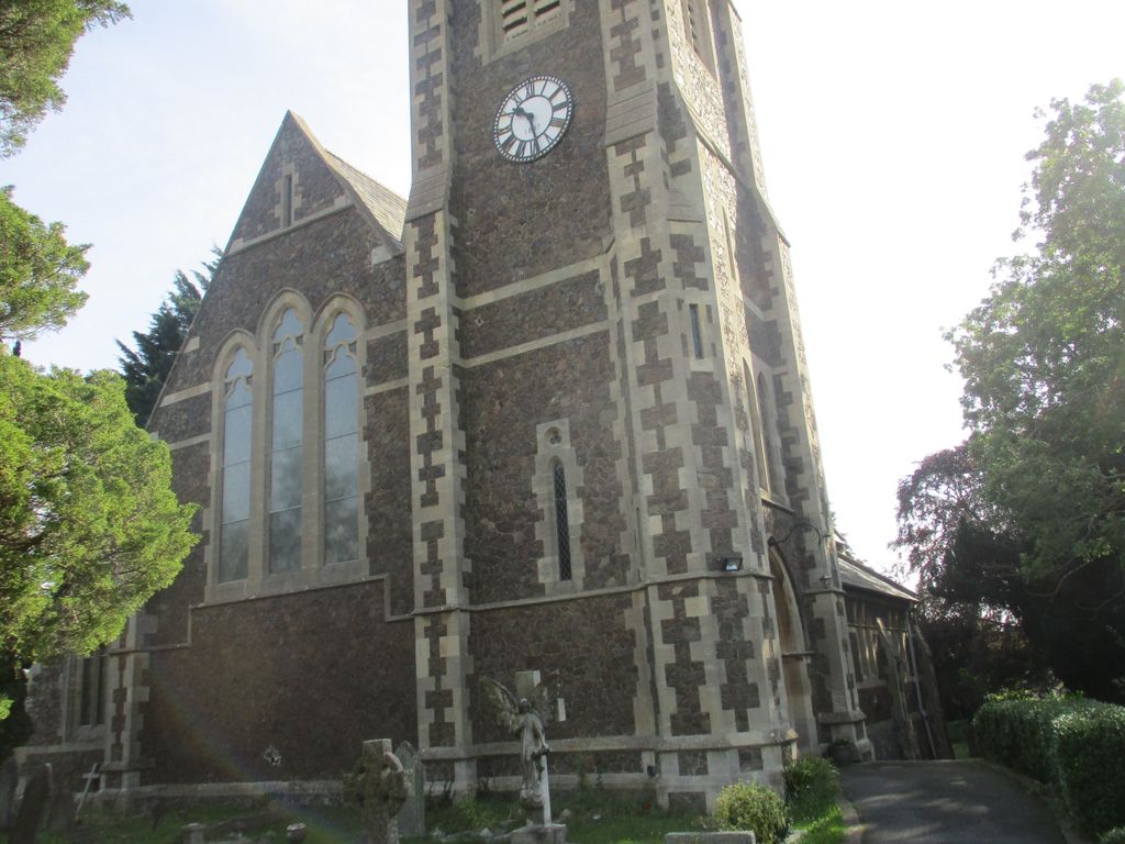
| Description | : | St James church, situated on the cross roads at Welland, was consecrated in 1875. The burial ground lies half a mile or so the west. From the cross roads follow the A4104 Marlbank Road past the village hall and primary school, and the turning to Lime Grove. A little further on you will see the entrance to the churchyard on your right, marked by a new lychgate. The memorials have been recorded by a member of the church and a paper record of these and a map of the burial ground can be found in the church. |
frequently asked questions (FAQ):
-
Where is St. James Churchyard?
St. James Churchyard is located at Welland Road (B4208) Welland, Malvern Hills District ,Worcestershire , R13 6BAEngland.
-
St. James Churchyard cemetery's updated grave count on graveviews.com?
0 memorials
-
Where are the coordinates of the St. James Churchyard?
Latitude: 52.0577700
Longitude: -2.2974900
Nearby Cemetories:
1. Welland Cemetery
Welland, Malvern Hills District, England
Coordinate: 52.0591625, -2.3021845
2. Church of the Good Shepherd Churchyard
Malvern Hills District, England
Coordinate: 52.0632720, -2.2624630
3. Little Malvern Priory
Little Malvern, Malvern Hills District, England
Coordinate: 52.0612500, -2.3365800
4. St. Gregory Churchyard
Castlemorton, Malvern Hills District, England
Coordinate: 52.0332900, -2.3003800
5. St. Wulstan Roman Catholic Churchyard
Little Malvern, Malvern Hills District, England
Coordinate: 52.0666050, -2.3356450
6. St. Gabriel's Churchyard
Hanley Swan, Malvern Hills District, England
Coordinate: 52.0829420, -2.2784110
7. Malvern Wells Cemetery
Malvern Wells, Malvern Hills District, England
Coordinate: 52.0779911, -2.3286663
8. St Peter's Churchyard
Malvern Wells, Malvern Hills District, England
Coordinate: 52.0783528, -2.3322165
9. Our Lady & St Alphonsus Catholic Churchyard
Hanley Swan, Malvern Hills District, England
Coordinate: 52.0907960, -2.2753160
10. All Saints Churchyard
Hollybush, Malvern Hills District, England
Coordinate: 52.0282510, -2.3384140
11. St. Peter and St. Paul Churchyard
Birtsmorton, Malvern Hills District, England
Coordinate: 52.0176100, -2.2912600
12. St. Mary's Churchyard
Hanley Castle, Malvern Hills District, England
Coordinate: 52.0755870, -2.2365390
13. St Peter & St Paul Churchyard
Upton-upon-Severn, Malvern Hills District, England
Coordinate: 52.0611229, -2.2181928
14. St. Mary's Churchyard
Longdon, Malvern Hills District, England
Coordinate: 52.0244900, -2.2370600
15. St. Mary's Churchyard
Guarlford, Malvern Hills District, England
Coordinate: 52.1061887, -2.2738220
16. Upton-upon-Severn Cemetery
Upton-upon-Severn, Malvern Hills District, England
Coordinate: 52.0585550, -2.2148520
17. St Faith Churchyard
Berrow, Malvern Hills District, England
Coordinate: 52.0065770, -2.3018720
18. St. James the Great Churchyard
Colwall, Herefordshire Unitary Authority, England
Coordinate: 52.0785300, -2.3821400
19. Great Malvern Priory Churchyard
Great Malvern, Malvern Hills District, England
Coordinate: 52.1106750, -2.3284660
20. Great Malvern Cemetery
Great Malvern, Malvern Hills District, England
Coordinate: 52.1133010, -2.3135120
21. Pendock Churchyard
Pendock, Malvern Hills District, England
Coordinate: 52.0015108, -2.2678653
22. Pendock Old Church
Pendock, Malvern Hills District, England
Coordinate: 52.0014720, -2.2679110
23. St. James's Churchyard
West Malvern, Malvern Hills District, England
Coordinate: 52.1127220, -2.3469830
24. St. John the Baptist
Eastnor, Herefordshire Unitary Authority, England
Coordinate: 52.0330980, -2.3932590